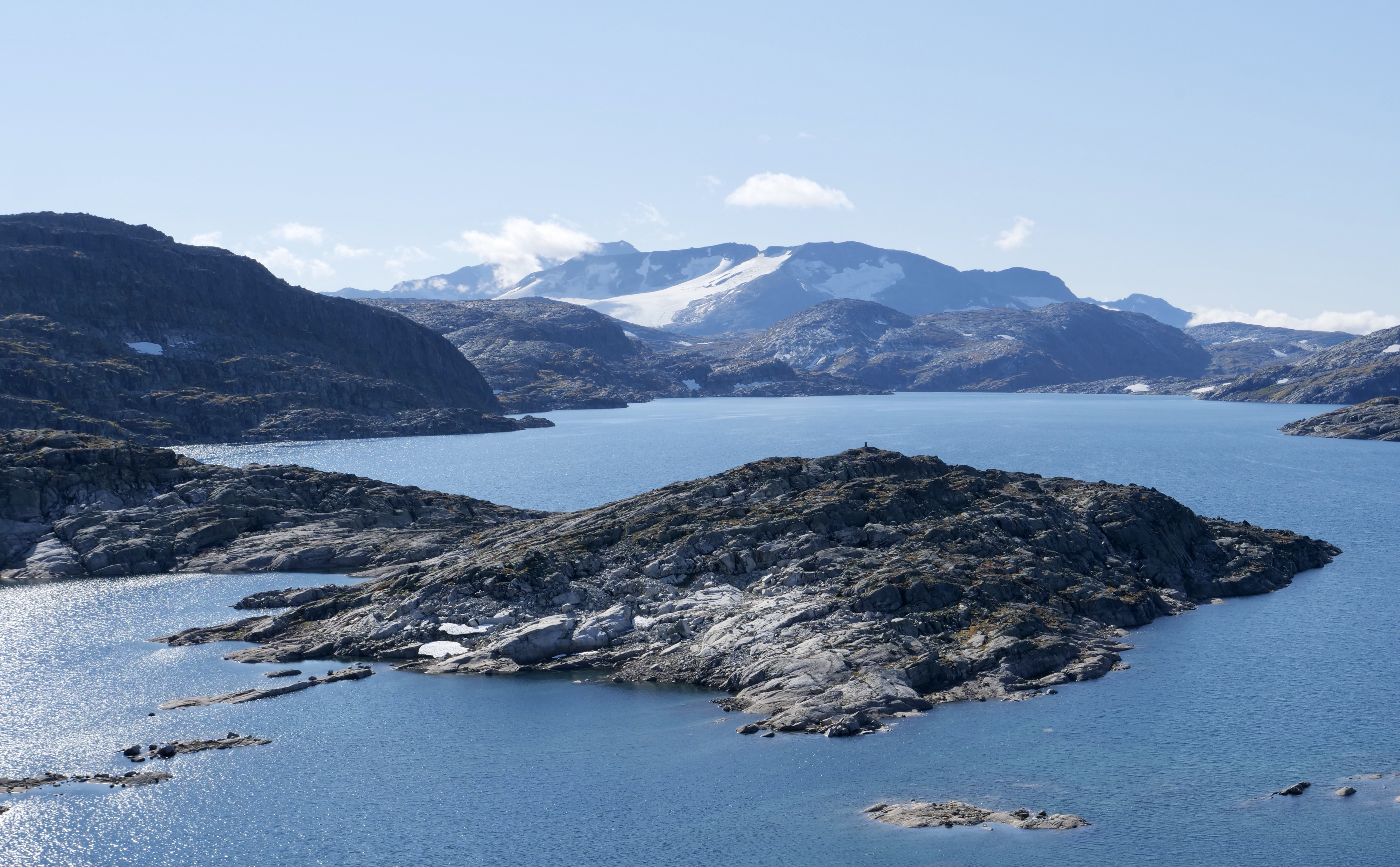
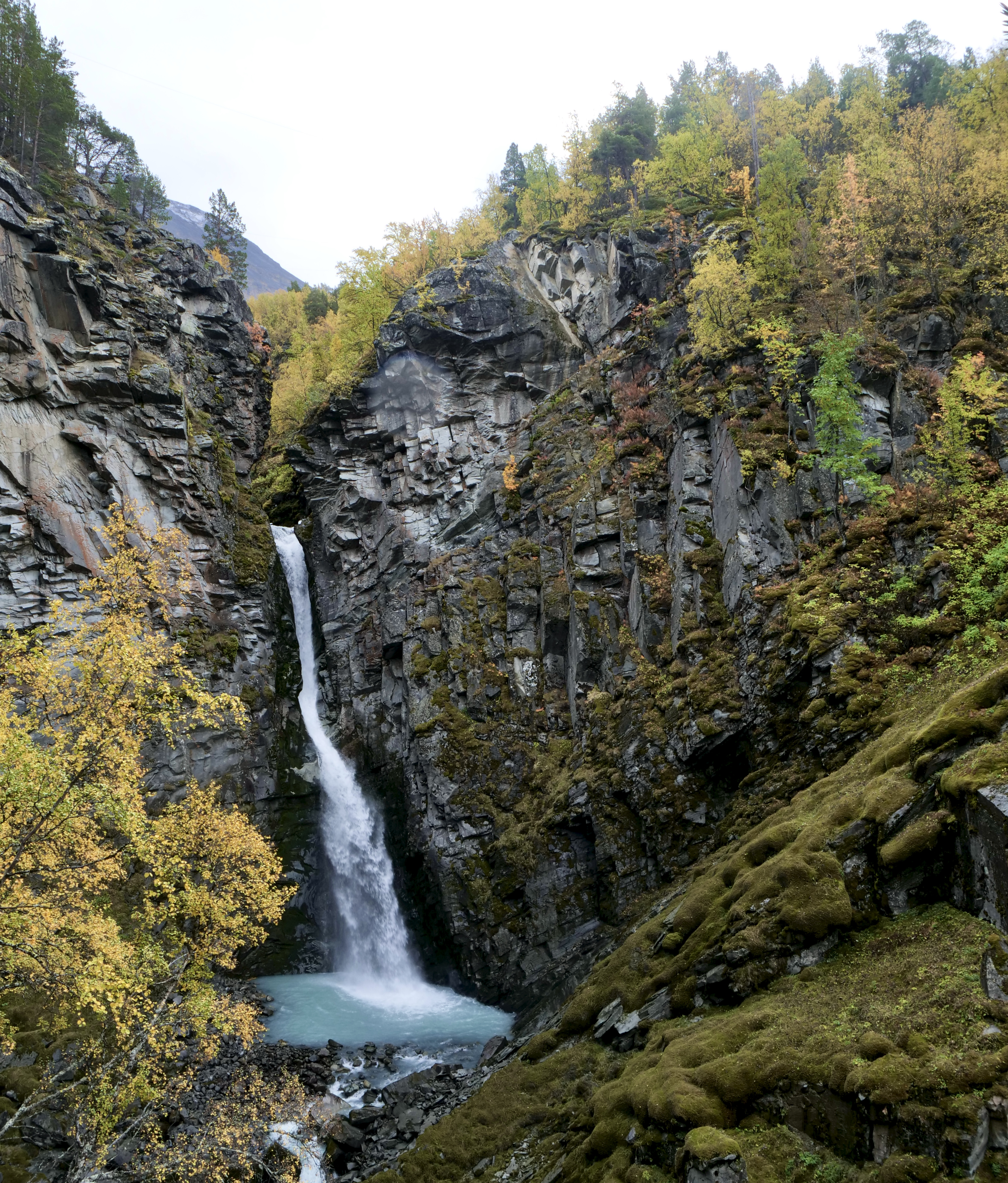
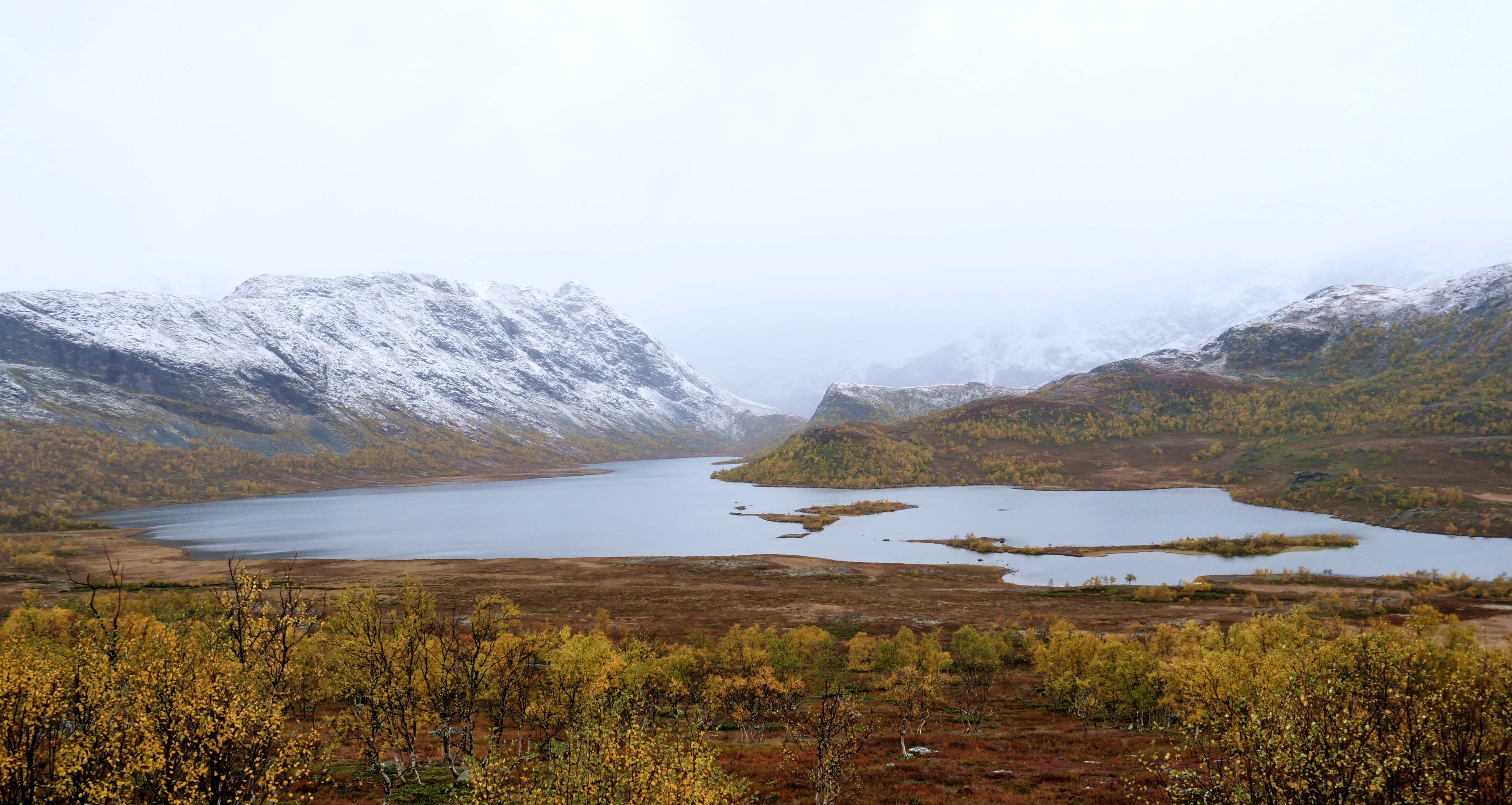
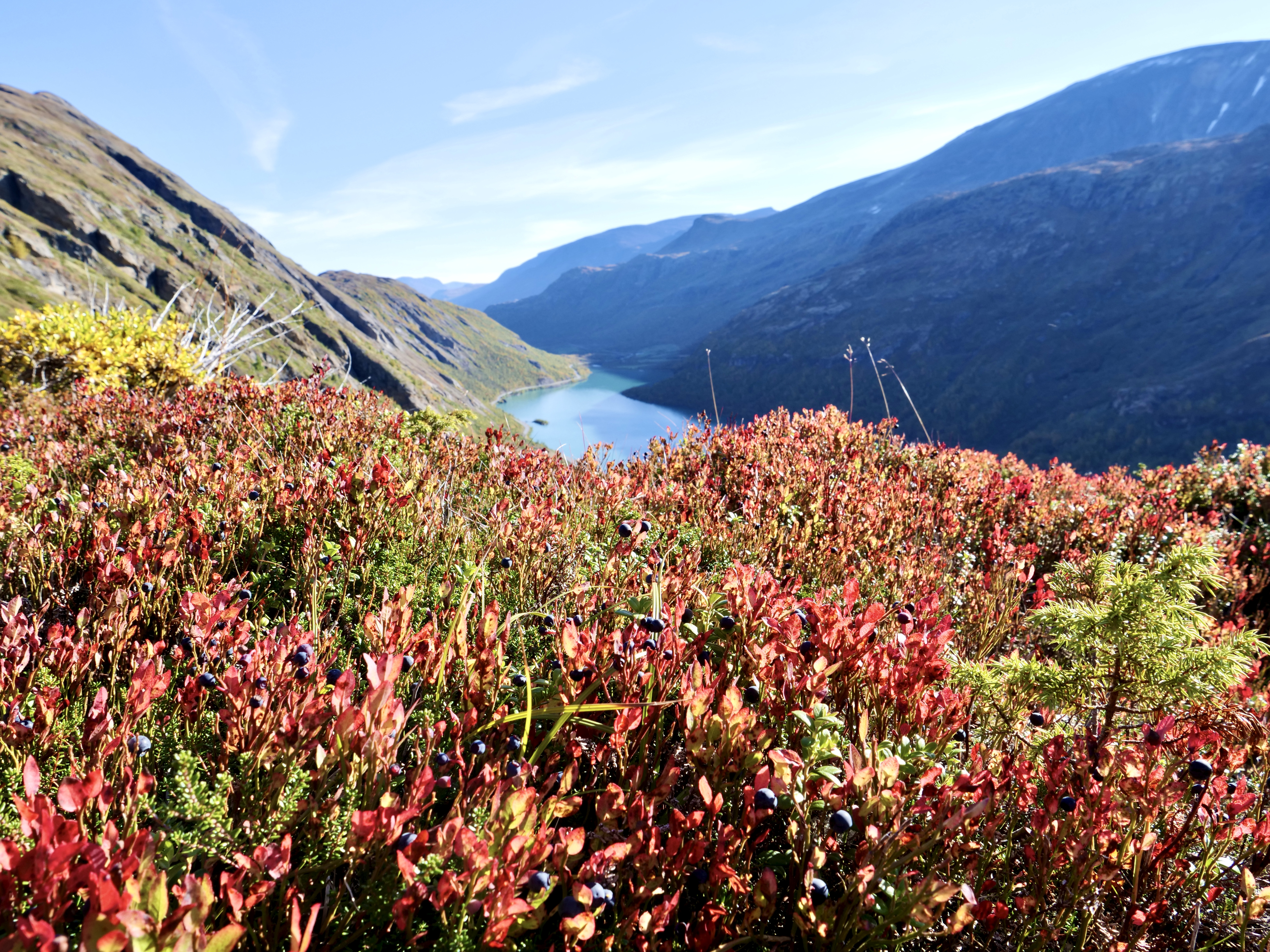
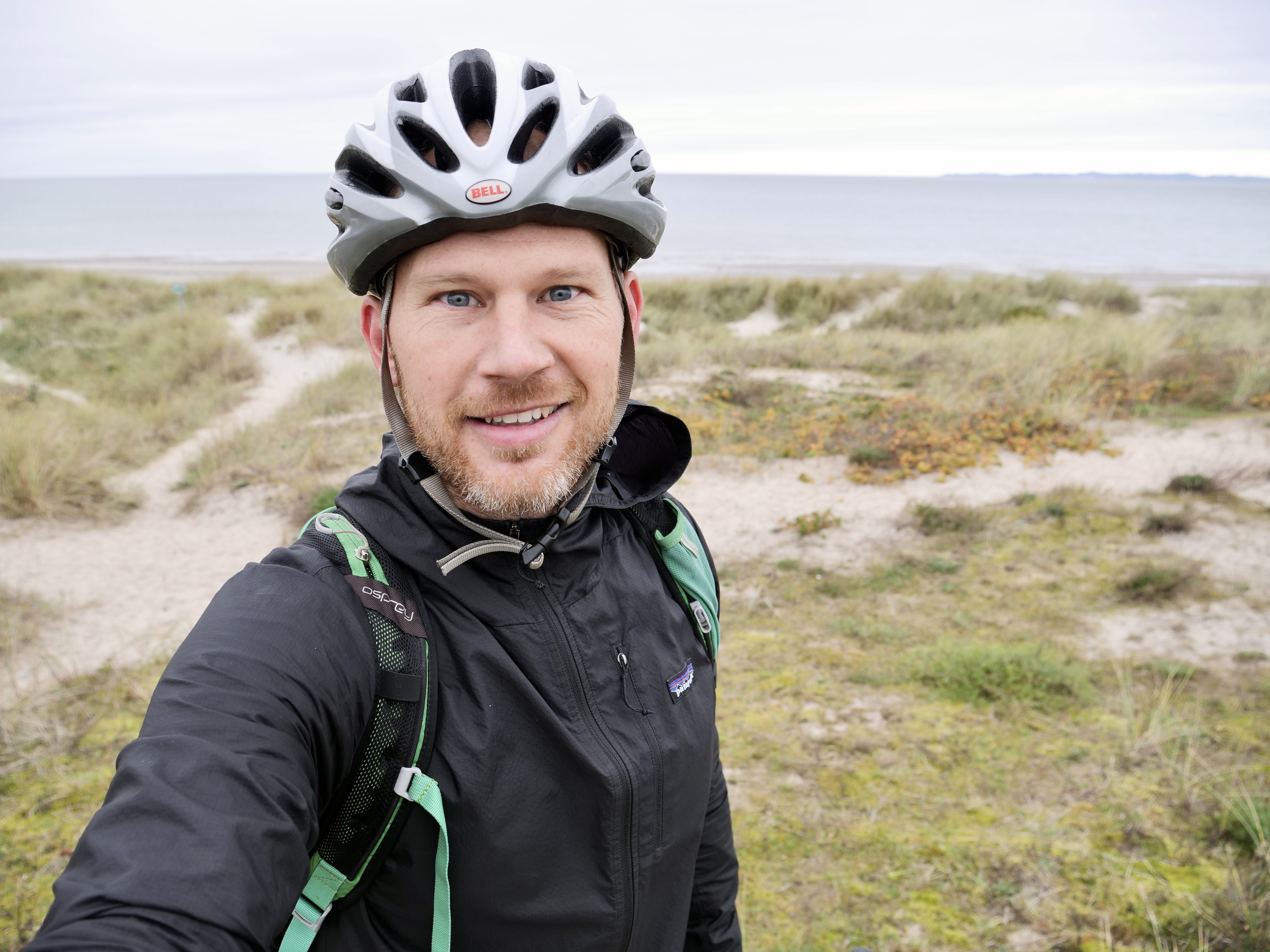
I was born and grew up in the area of North Zealand (Nordsjælland) which is an area just north of Copenhagen. I have always looked outside of Denmark for adventure since it’s very flat and has no wild nature, so i didn’t have much expectation other than to ride my bike, take some fall pictures and explore the area were i grew up. Usually when I set my expectations low I get positively surprised…
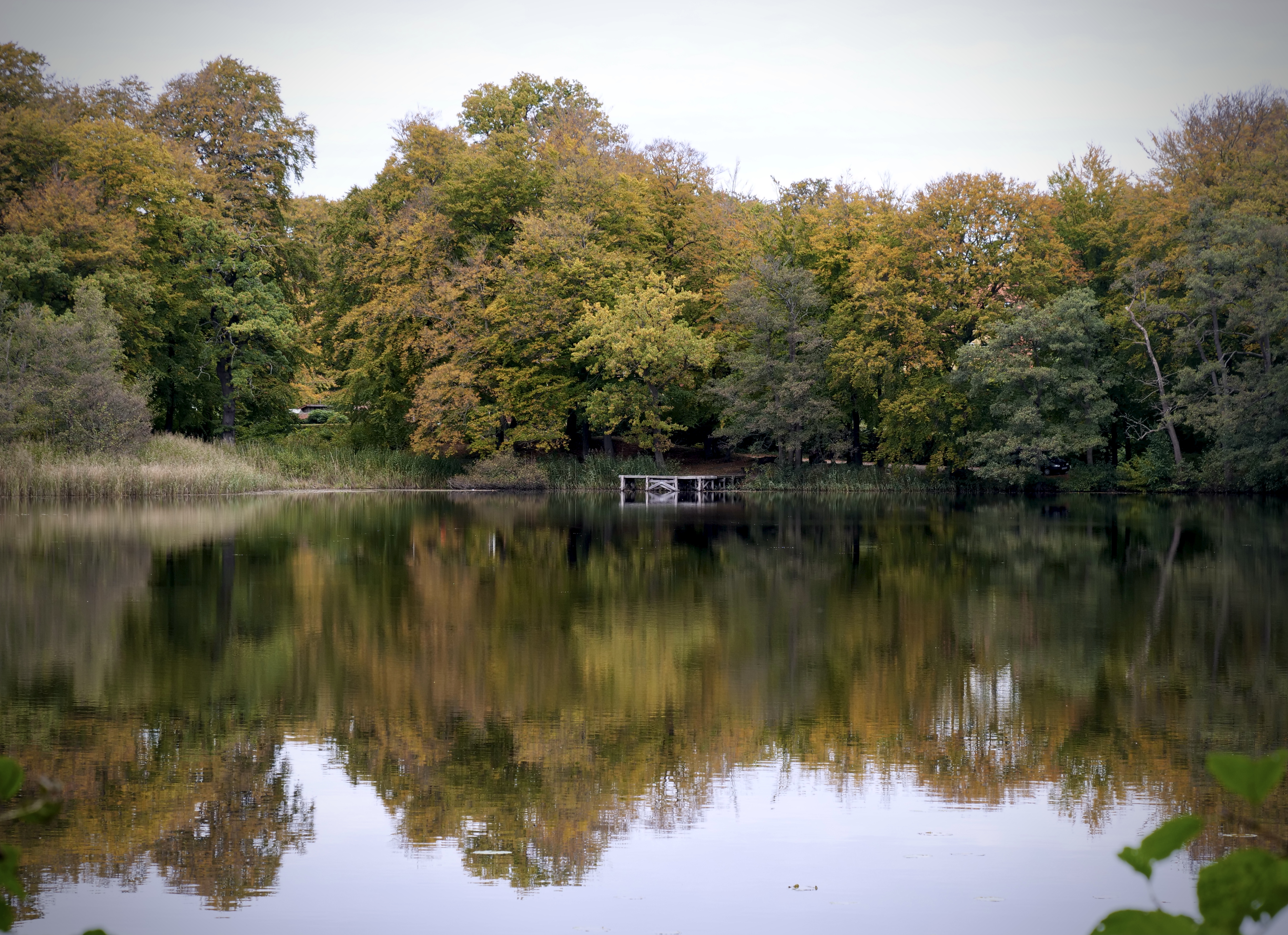
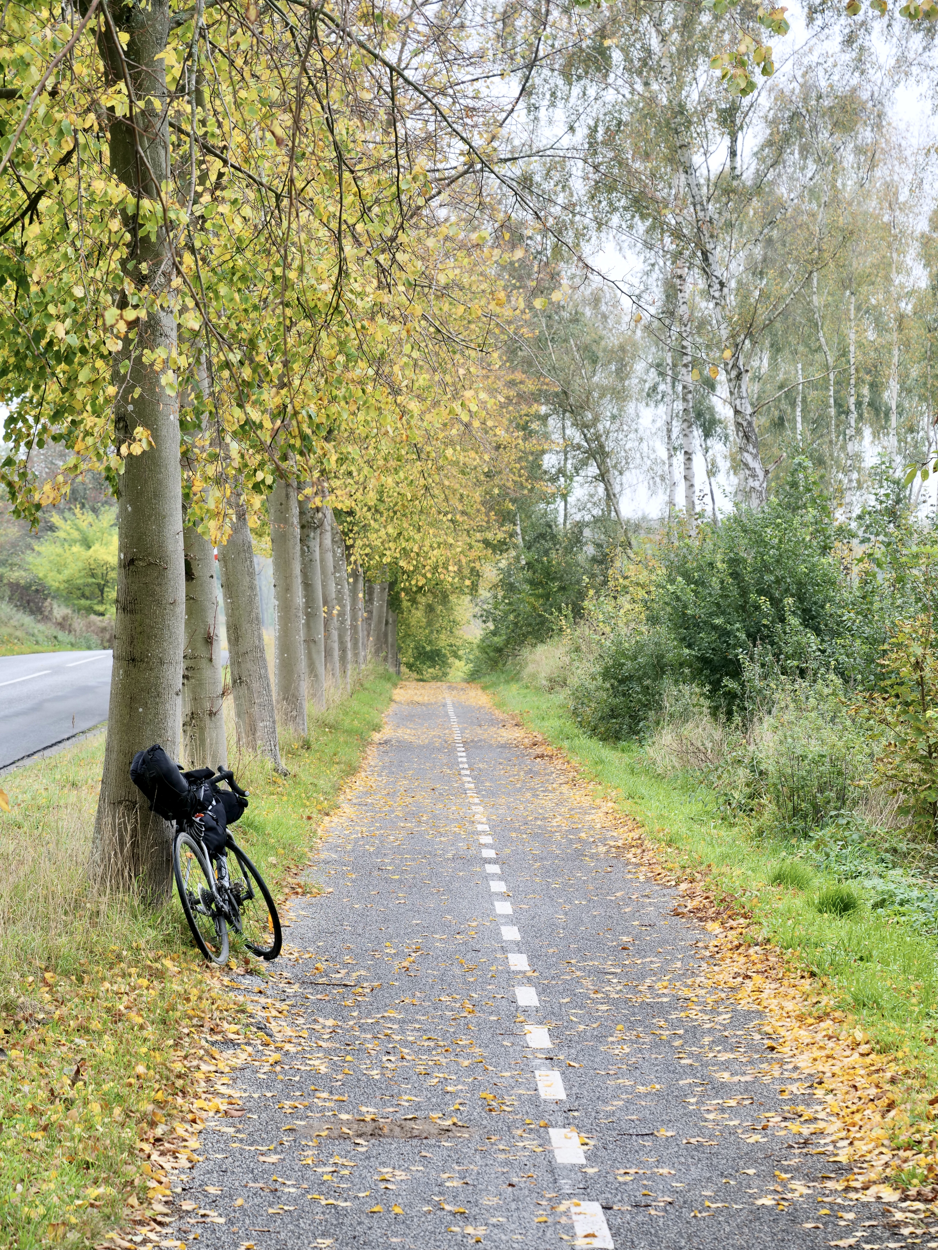
Now, there is no big wild nature here or anywhere in Denmark, so i set my expectation just for the ride itself and no crazy nature experiences. The first day i biked along the east coast straight from Østerbro in Copenhagen I stopped for lunch in Helsingør which is a beautiful and historic town. On the way along strandvejen the ride goes past some of the most expensive houses in Denmark. I more or less followed the northern part of the number 9 national bicycle route that goes from Gedser to Helsingør (https://www.visitdenmark.dk/danmark/oplevelser/cykelferie/danmarks-11-nationale-cykelruter). There are small hubs of forest on the way so it’s possible to do some detours (especially “Dyrehaven” if you want to see some big red deer) but i just stayed on the road to not distract my mind with on-the-go route planning. I had a nice lunch in Helsingør and continued along bike route 47 “Nordkystruten” to Tisvildeleje (https://www.visitnordsjaelland.dk/nordsjaelland/det-sker/nordkystcykelstien-rute-47-gdk680396). The first part to Hornbæk is really nice going through a forest and lake area and from there to Tisvildeleje it’s basically one big summerhouse area. The beach in Hornbæk is really nice and I used to go there in summers with my friends but I also got excited about the area around Rågeleje and Tisvildeleje, it was quite hilly by danish standards.
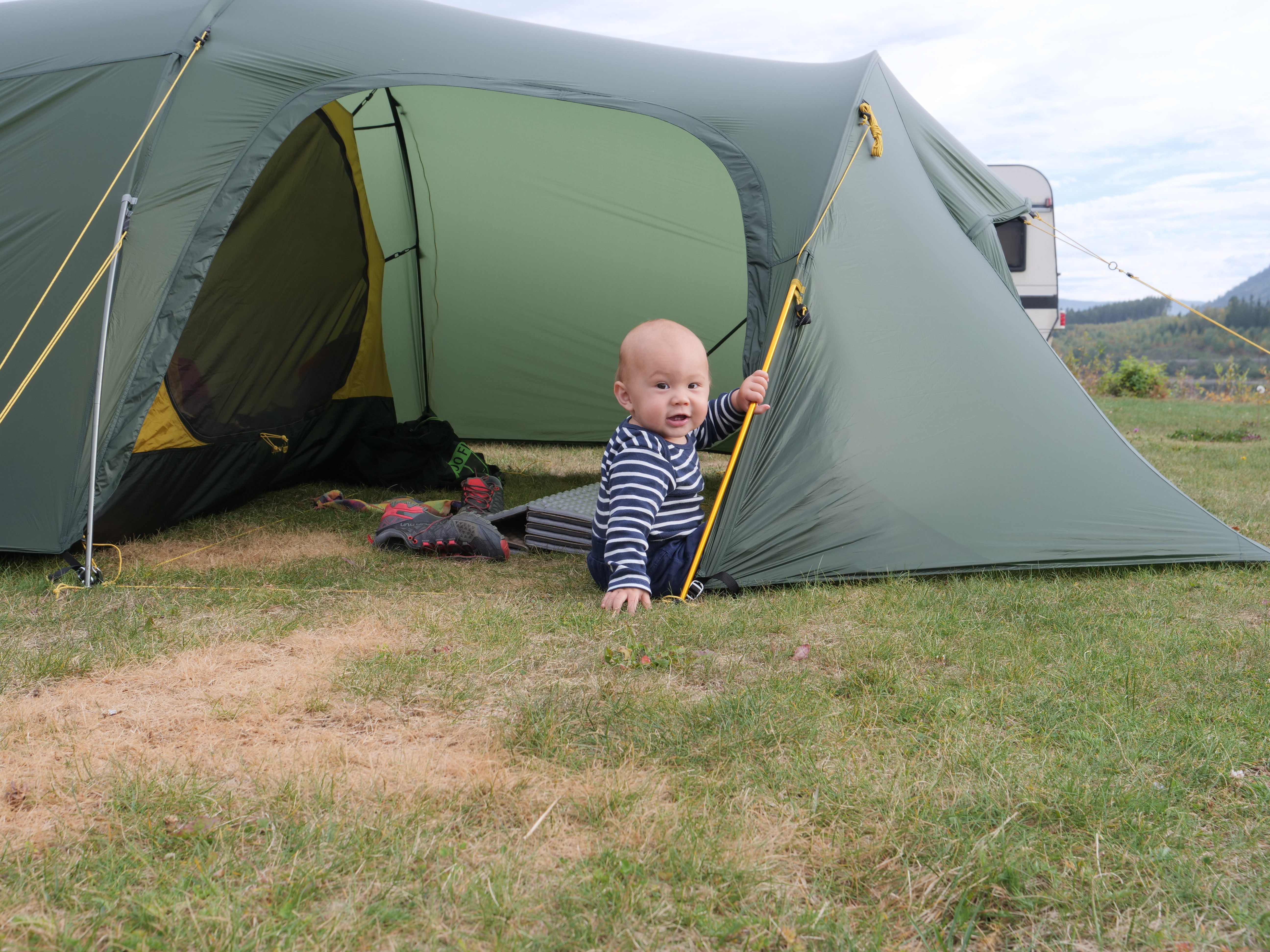
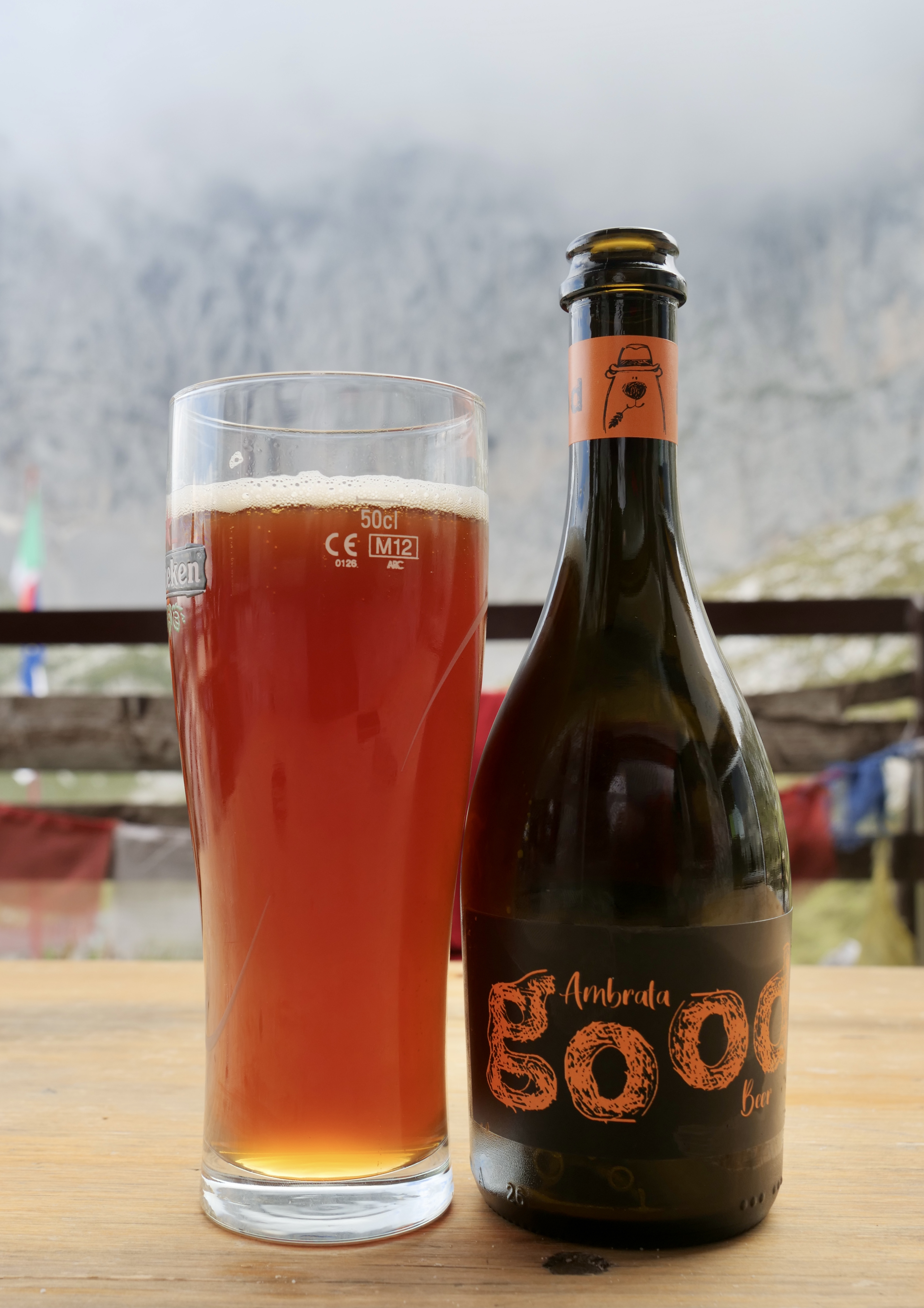
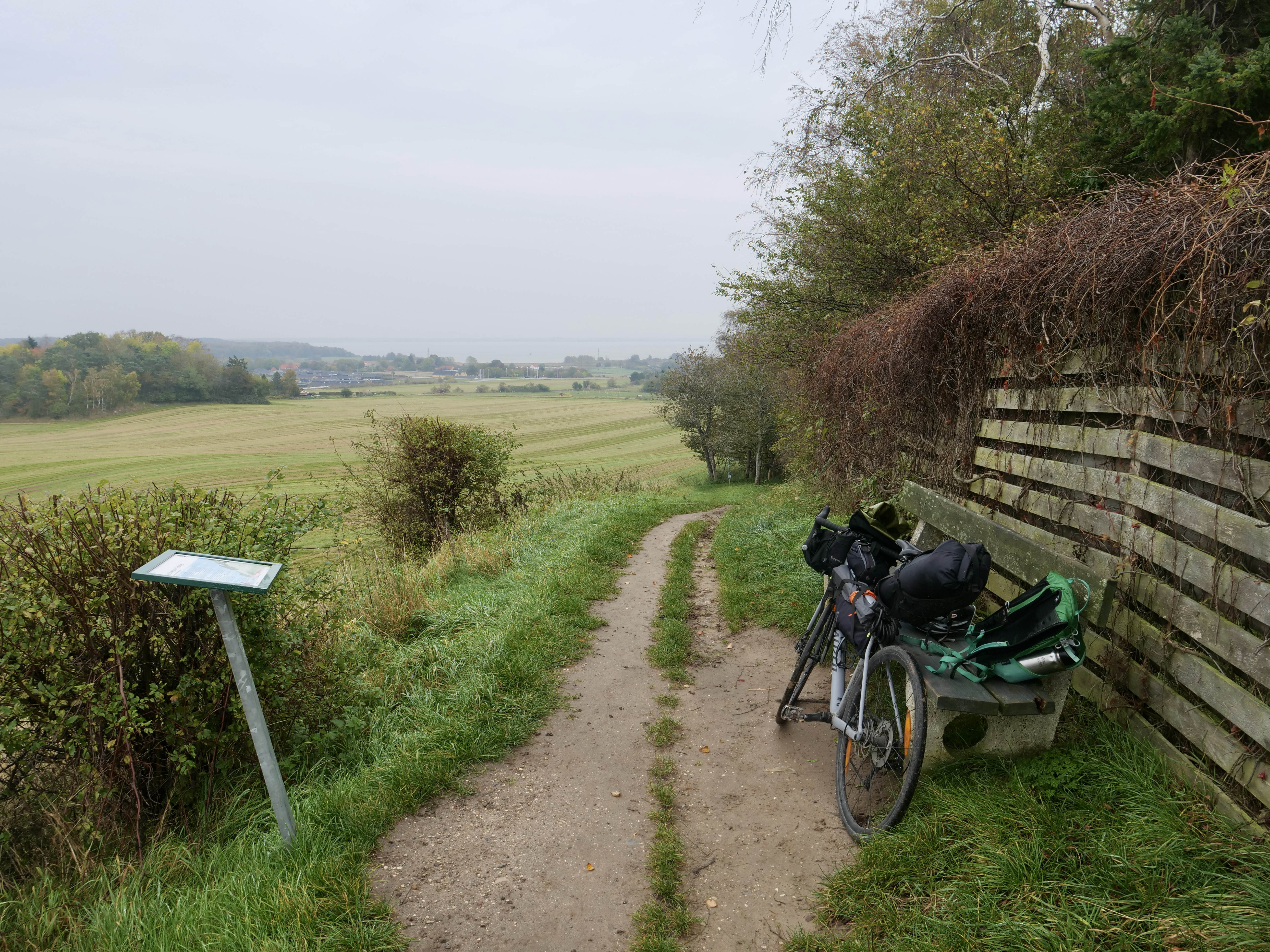
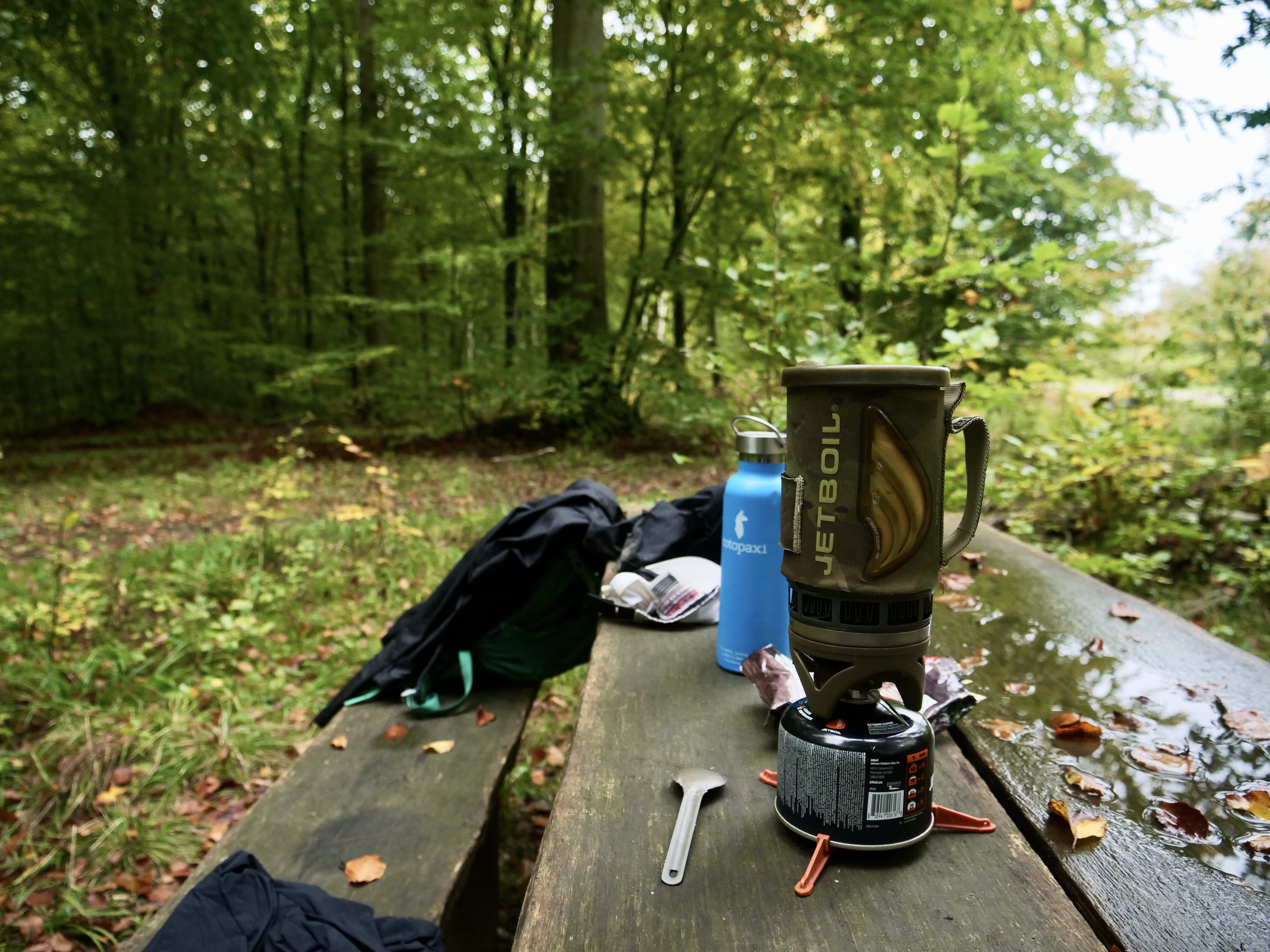
In Tisvildeleje I did a pitstop in “Brød & Vin”. It’s a really good bakery that also serves wine and I decided to go to Asserbo shelter for the night. I biked through Tisvilde Hegn that serves as home base of the Red deer in Denmark (or at least in Sjælland). Unfortunately it was getting dark so I didn’t see them when I biked through the woods. There was one trying to invade the shelter but he took off quickly when he saw me. The shelter was great with plenty of room.
That more or less wrapped up day 1. The summerhouse towns are extremely lively in the summer but more mellow at this time in the fall which is I like. There are still plenty of good places to stop for coffee and food though.
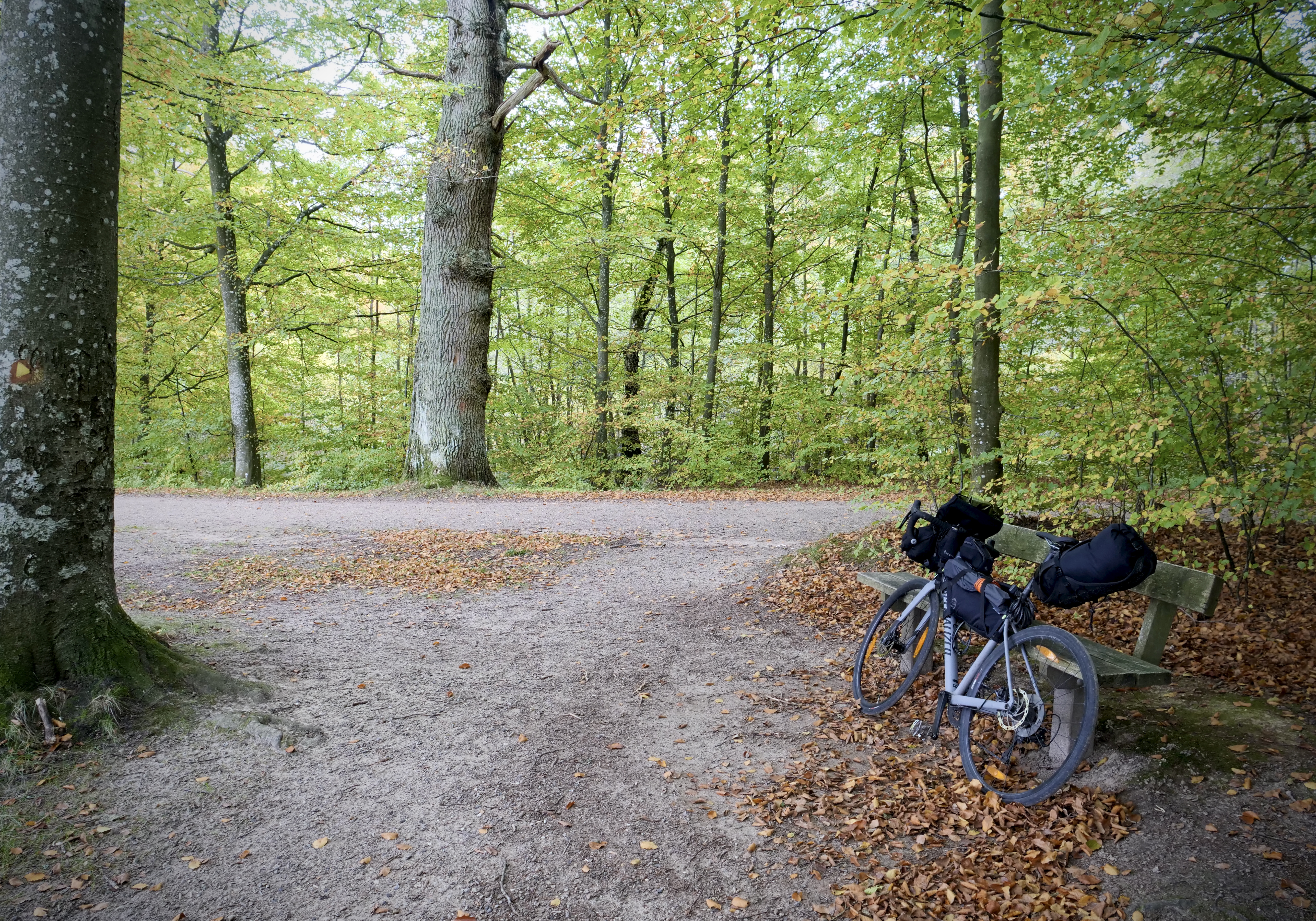


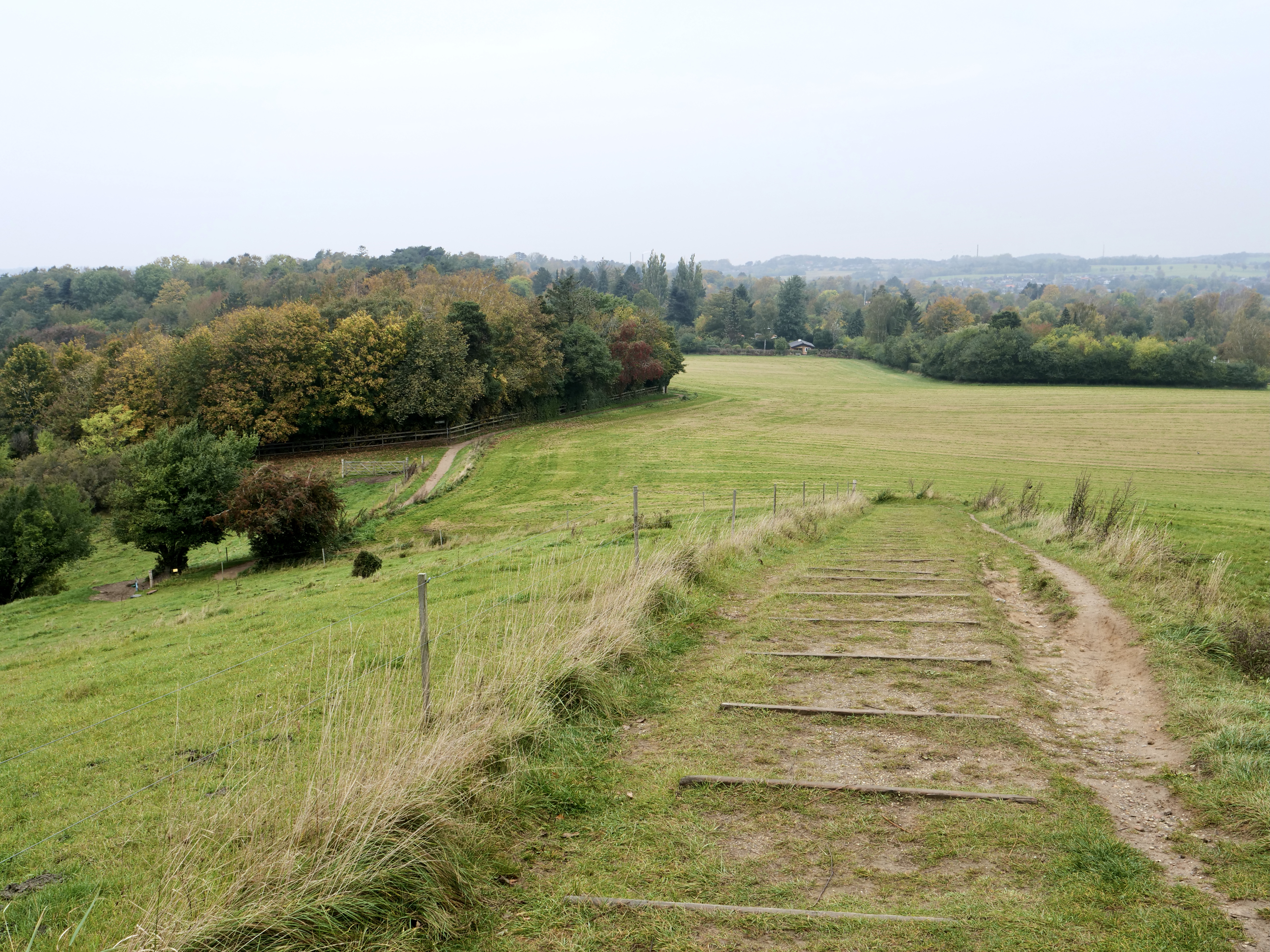
Day 2 I went to Frederiksværk to eat breakfast at a bakery, from here the plan was to hit bike route 40 west towards Hundested and connect it south with route 2 towards Kulhuse and cross Roskilde Fjord. However I discovered that I made a big mistake…there was no bridge, and the ferry only sails in the summer, so I had to go all the way back to Frederiksværk and continue south along bike route 40 and connect it with route 2 in Frederikssund, a 20 k extra warm up. The 40 route turned out to be quite nice and pretty hilly. After connection with route 2 I ate lunch as soon as I hit the forest south of Buresø. Then just before Bastrup Sø I decided to go with the Buresø – Fiskebæk bike route (that I also discovered on Naviki, more info: https://www.furesoe.dk/oplevelser/brug-naturen/cykelruter/#moelleaadalen-2:-fiskebaek-til-lyngby). This route actually went through my old hood around Farum and was the highlight of the trip for me. There is quite a lot of singletrack on this route, so my road tires didn’t do very well but I managed without falling. A really nice stretch. Then from Farum i followed bike route 2 again along the freeway into Copenhagen. Originally i wanted to bike north of Furesøen through “Vaserne” to Holte which is a really nice stretch but that will be next time…


| Day 1 | Day 2 | |
| Time on bike: | 3:57 h | 4:18 h |
| Distance: | 87 k | 84 k |
| Asc: | 315 m | 347 m |
| Dsc: | 333 m | 350 m |
| Average speed: | 22 km/h | 19,6 km/h |
| Approx. Road/Gravel %: | 85/15 | 65/35 |
My route
https://www.google.com/maps/d/u/0/edit?mid=1e5UmQ0JPMTcSQWIZNynYHrtBdf4o28E4&usp=sharing

Route planning tips
- Naviki is an awesome free app that I use both for planning and on the road. I could even see the route number on the map in the app. It automatically gives you the best routes for biking. Highly recommend !
- I also used this: https://trafikkort.vejdirektoratet.dk/index.html?usertype=3 where you can plot the 11 big bike routes in Denmark. Makes for an easy overview if you want to connect them. Fx i connected 9 and 2 with the smaller 47 “Nordkystruten” that i got from Naviki. I also connected bike route 40 so the whole route went: 9, 47, 40, 2, Buresø – Fiskebæk (BF) and 2 again. Route 47, 40 and BF I both discovered in Naviki on the road.
- Nordkystruten 47: https://www.visitnordsjaelland.dk/nordsjaelland/det-sker/nordkystcykelstien-rute-47-gdk680396
- Fjordstien route 40: Fjordstien route 40: https://www.visitnordsjaelland.dk/nordsjaelland/det-sker/fjordstien-cykelrute-40-gdk979377
- Buresø – Fiskebæk route: https://www.furesoe.dk/oplevelser/brug-naturen/cykelruter/#moelleaadalen-2:-fiskebaek-til-lyngby
- It’s definitely possible to do more of the route on gravel – see this post for inspiration https://bikepacking.com/routes/around-north-denmark/