Around Falster – 3 day solo hike in Denmark

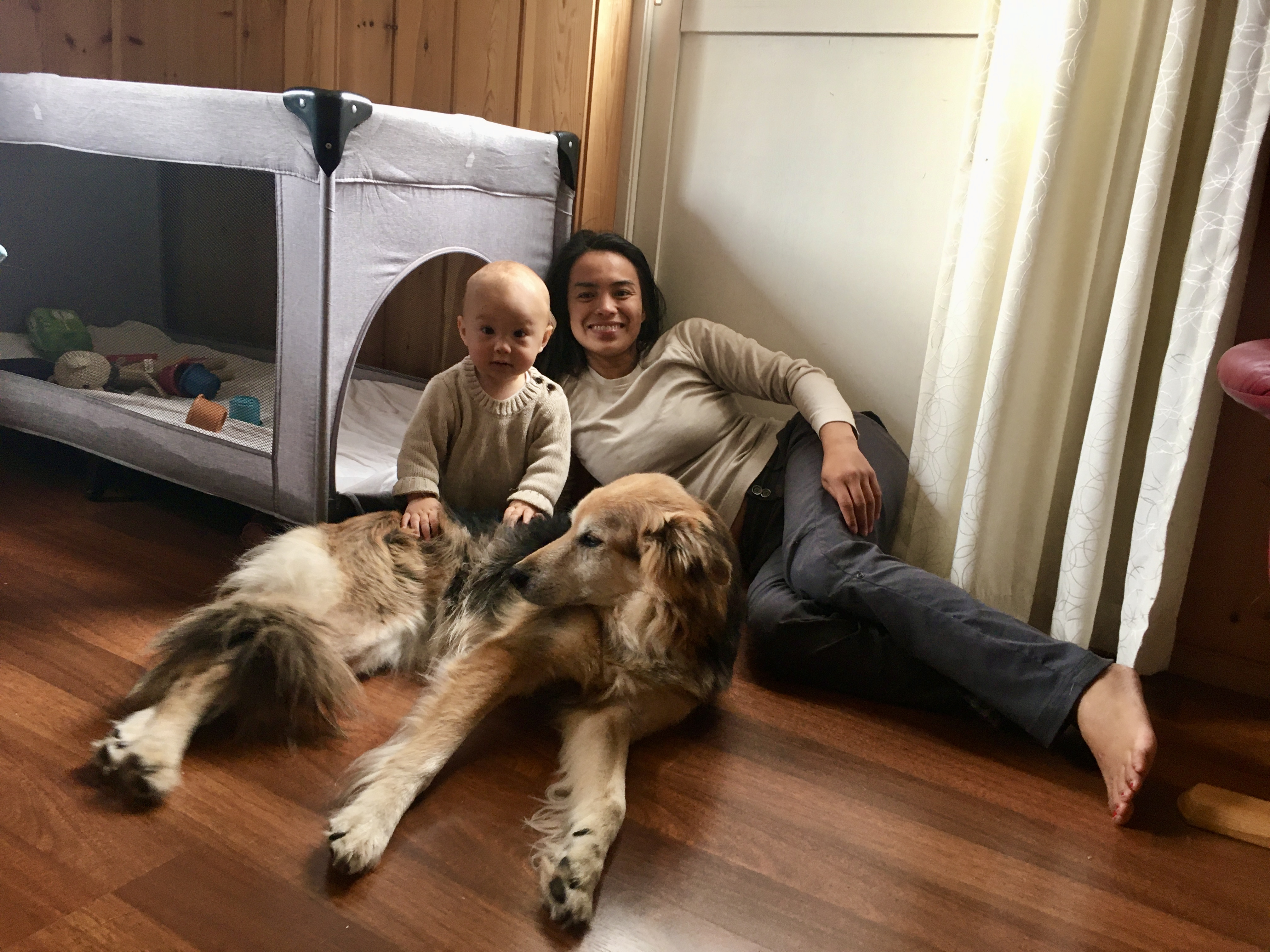
Fans (0) and friends (2) from all over the world – we’re back with another blog post!!! (Actually the fan part, is getting to 1 or 2 now).

I was forced to go back to Denmark for the last part of my green card process so I thought I’d spend some time wisely and go for a hike. Falster is an island in Denmark and I lived there for 4 years before moving to Colorado. My parents have lived there for almost 20 years so I know the island pretty well. I always wanted to hike around it but never did for some reason. I really liked the route I created so hopefully I won’t be the last person to do it.

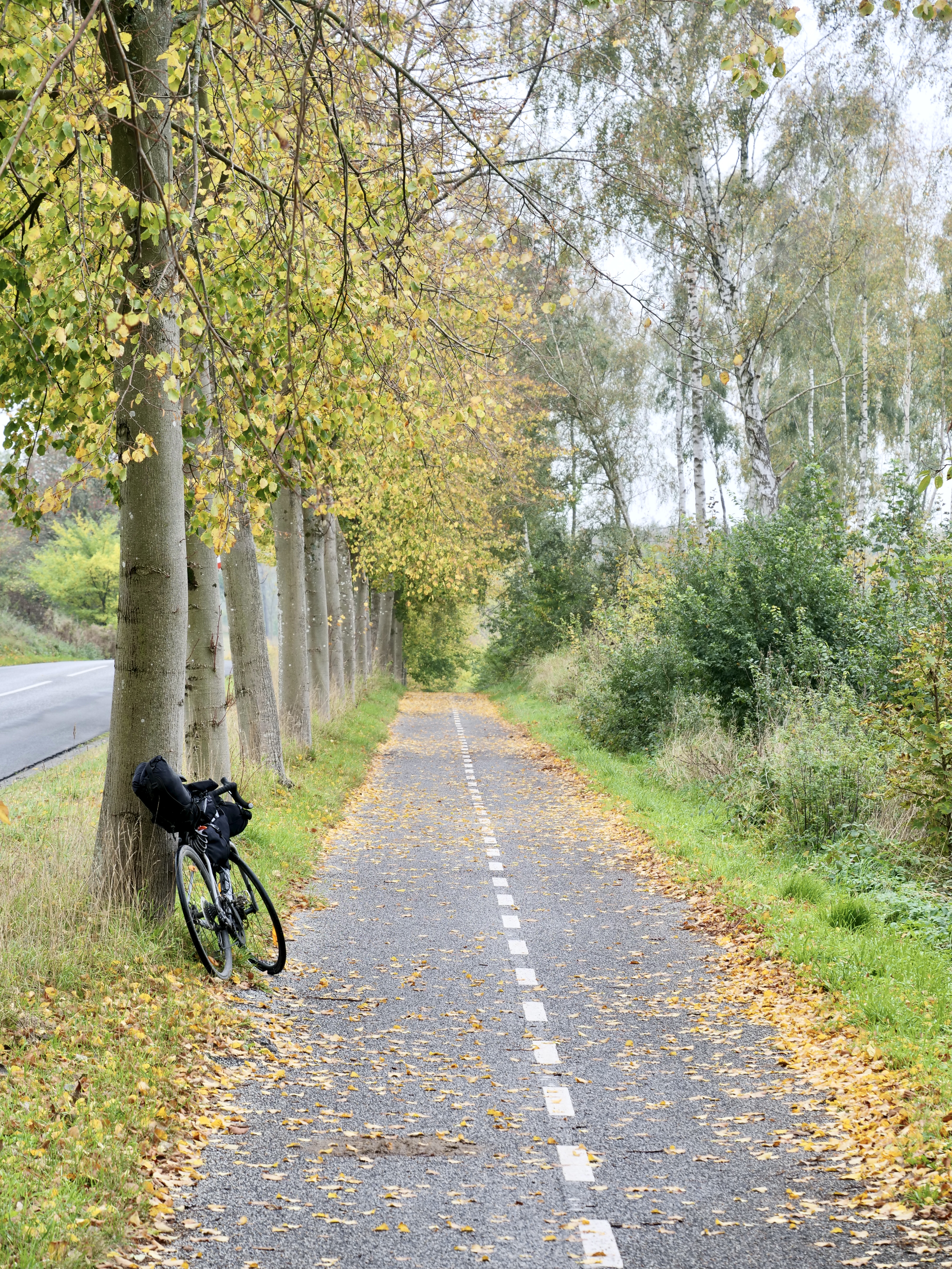
My pack was really light for this trip since I didn’t anticipate to do a hike. I didn’t carry much food, no stove and no camera besides my phone. So that was really interesting and very freeing to not have a lot in the pack and not think about cooking. It simplified things quite a bit.

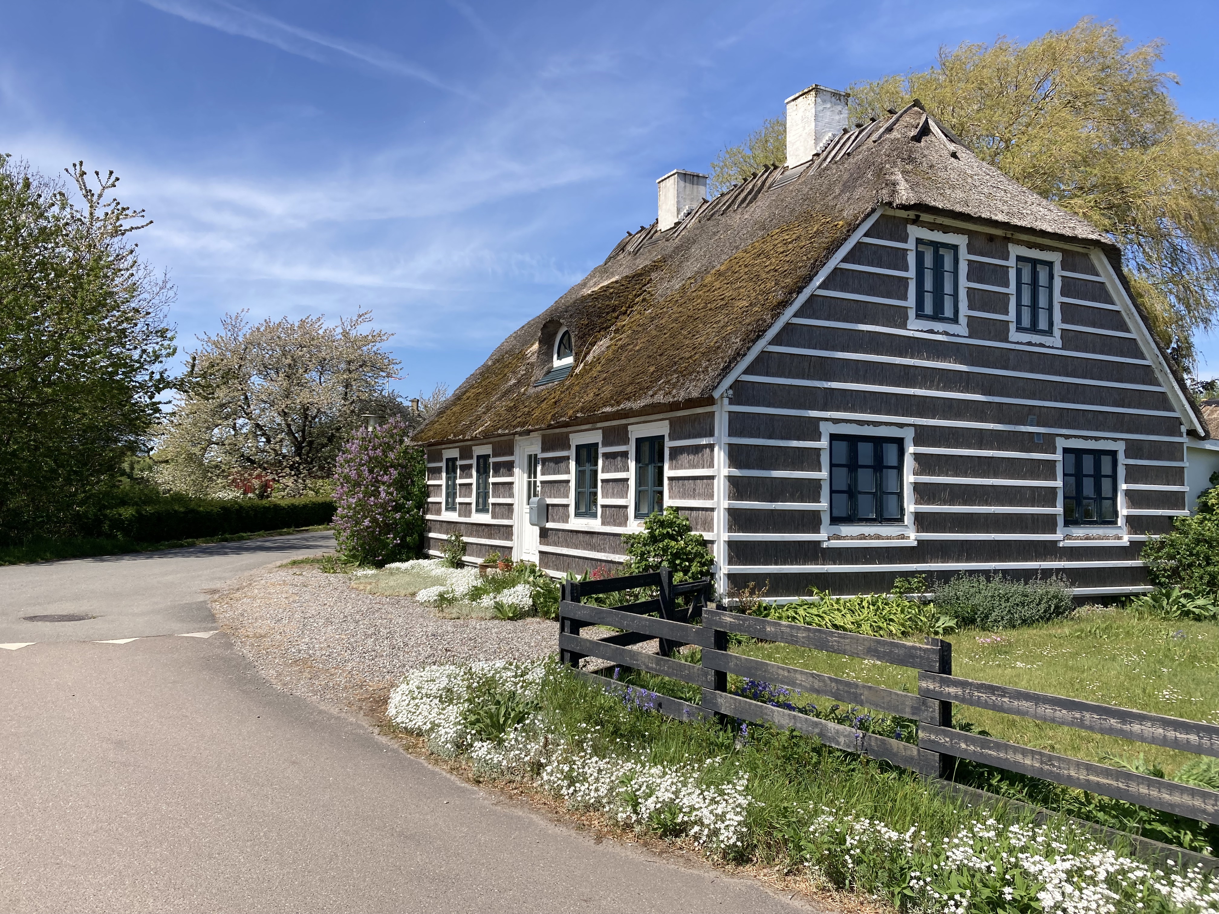
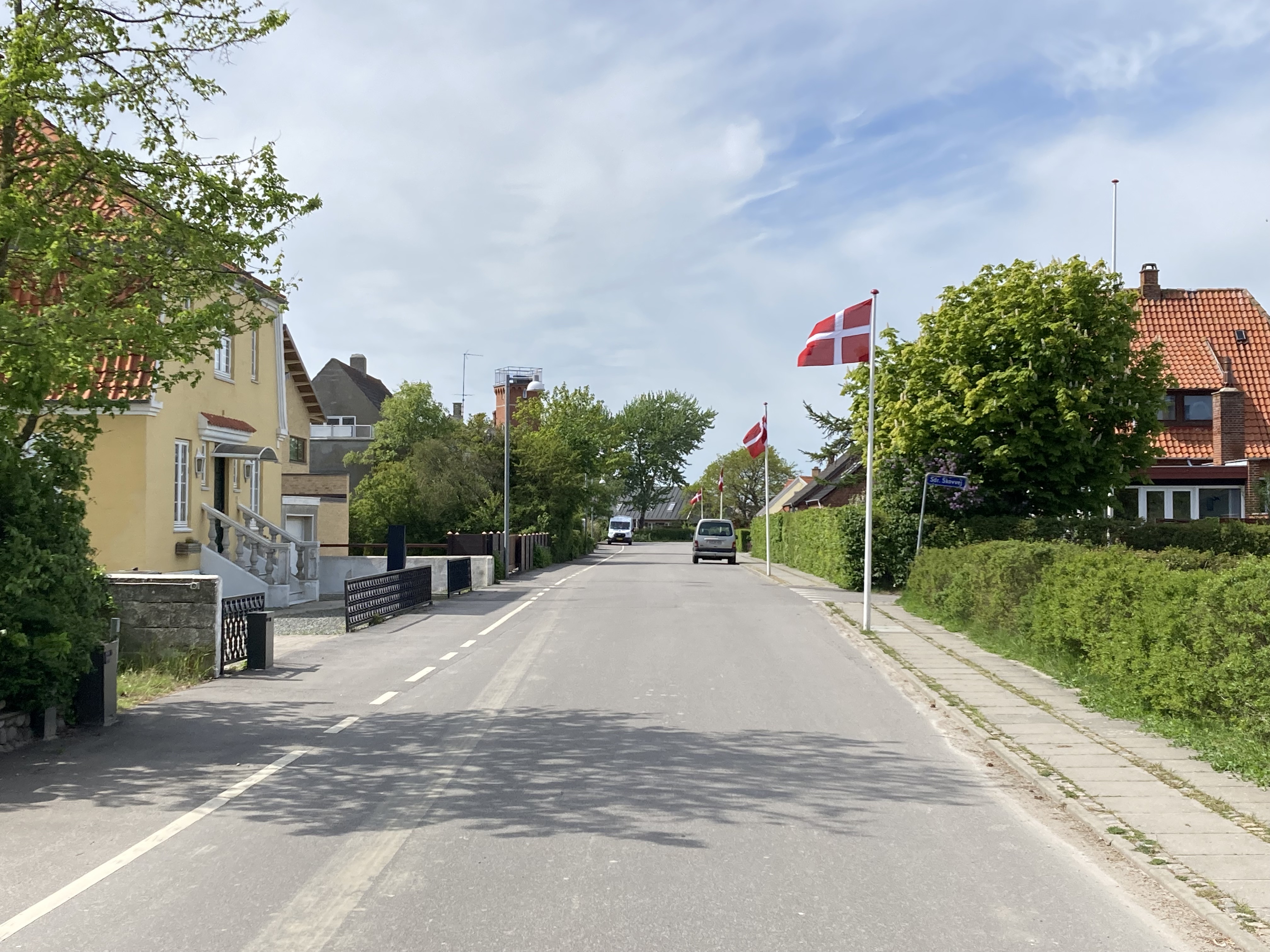
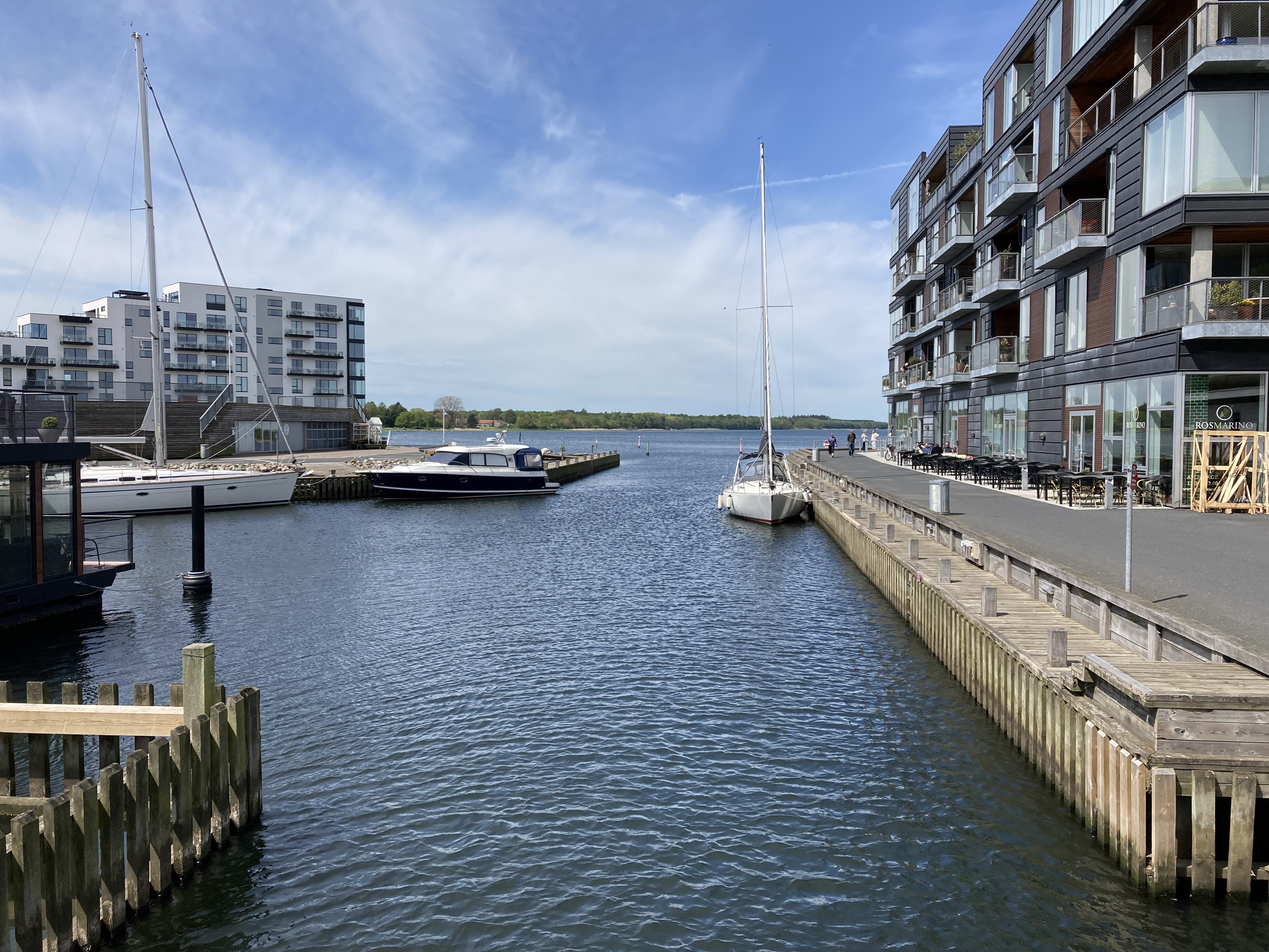
Most people don’t know that the whole east coast of Falster is pretty amazing. From Stubbekøbing you can walk along the coast all the way to Gedser, most of it is trail or dirt road. Stubbekøbing is an absolute beautiful old town with huge potential, though unfortunately it is very dead. It’s more lively in the summer due to the summer house areas and some bike tourists and there’s a great new café (called “Caféen på torvet“) on the square across from the church. I think more and more people are realizing Stubbekøbings potential and slowly but surely I think it will develop over the next 10 years. You can easily stock up for your hike with groceries (Netto, Fakta), pizzaria, ice cream on the harbour and there’s a great local liqour store on the harbour also.

Day 1: Stubbekøbing – Havlykke fricamping (32 k)

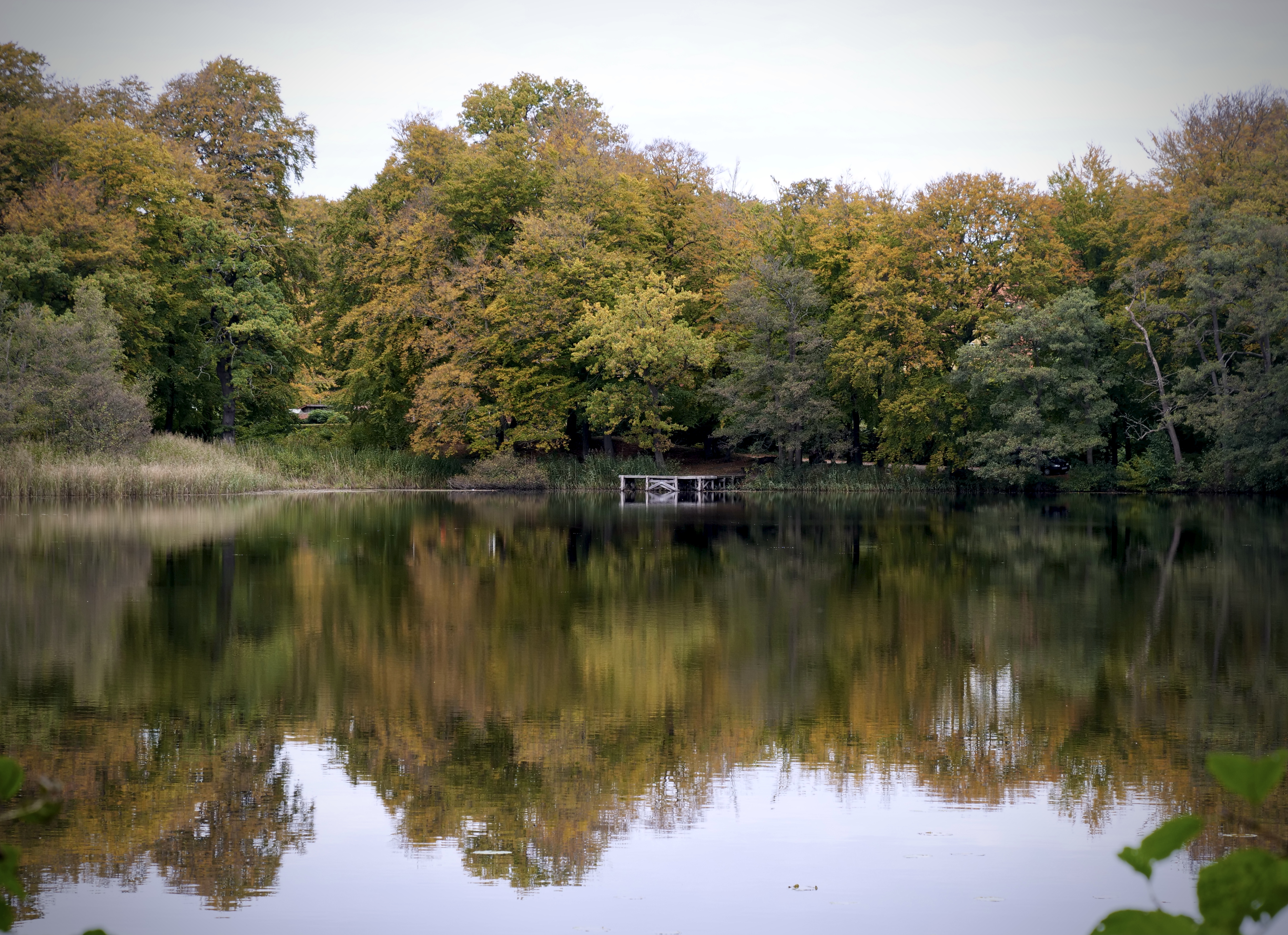
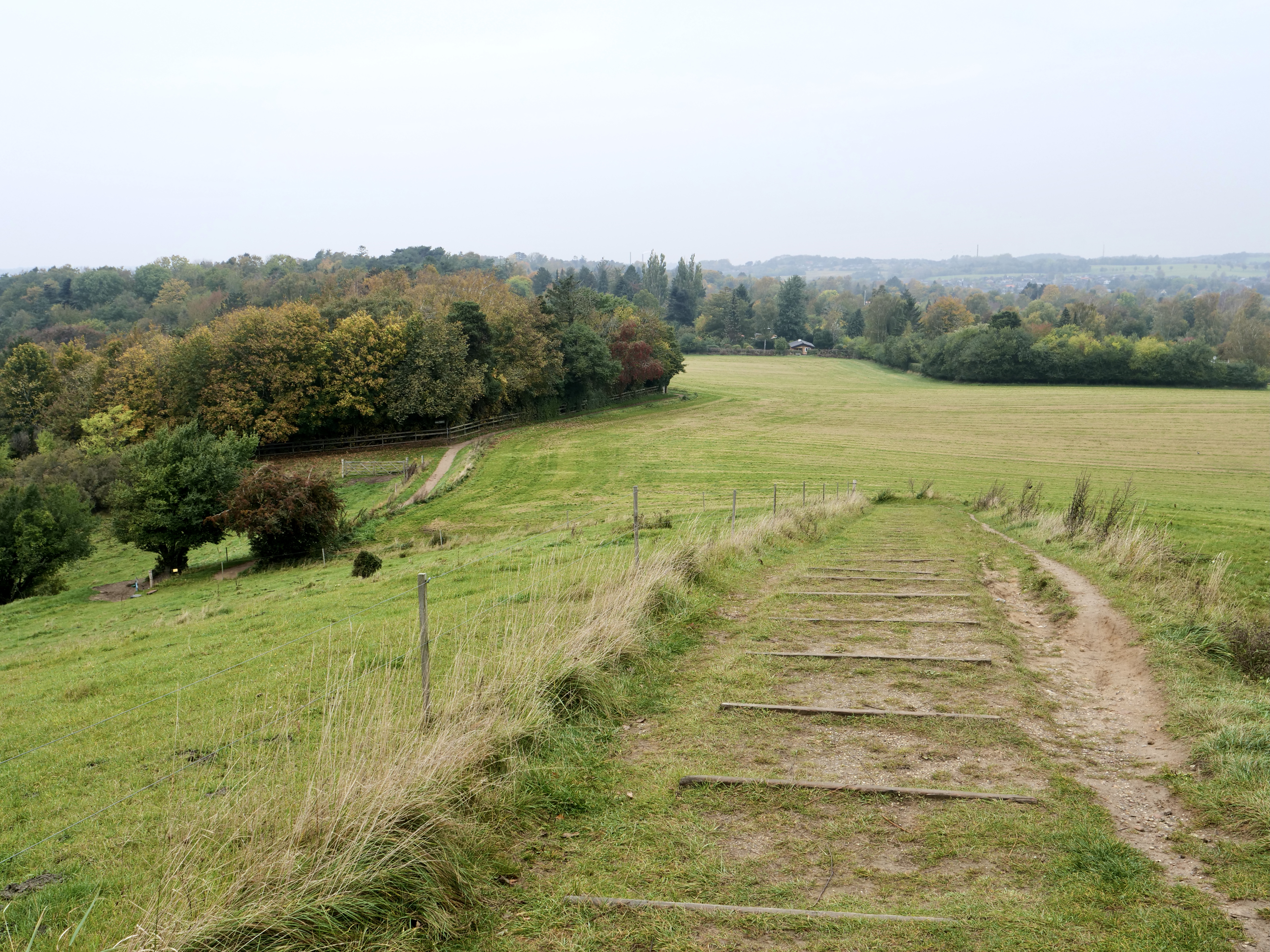
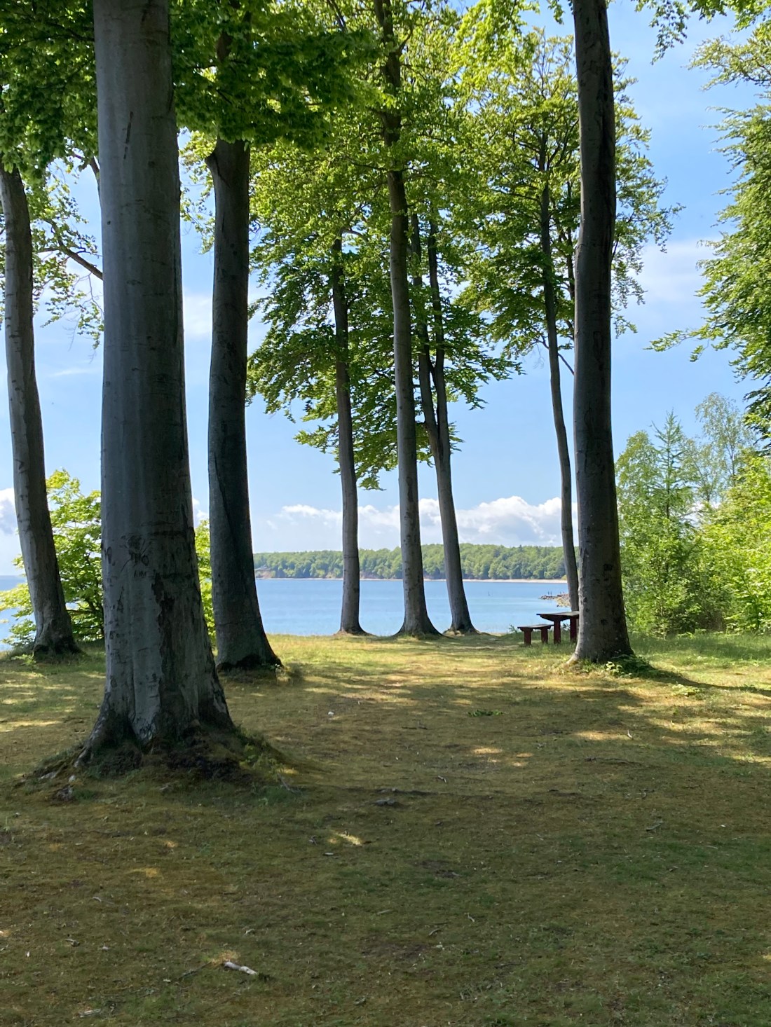
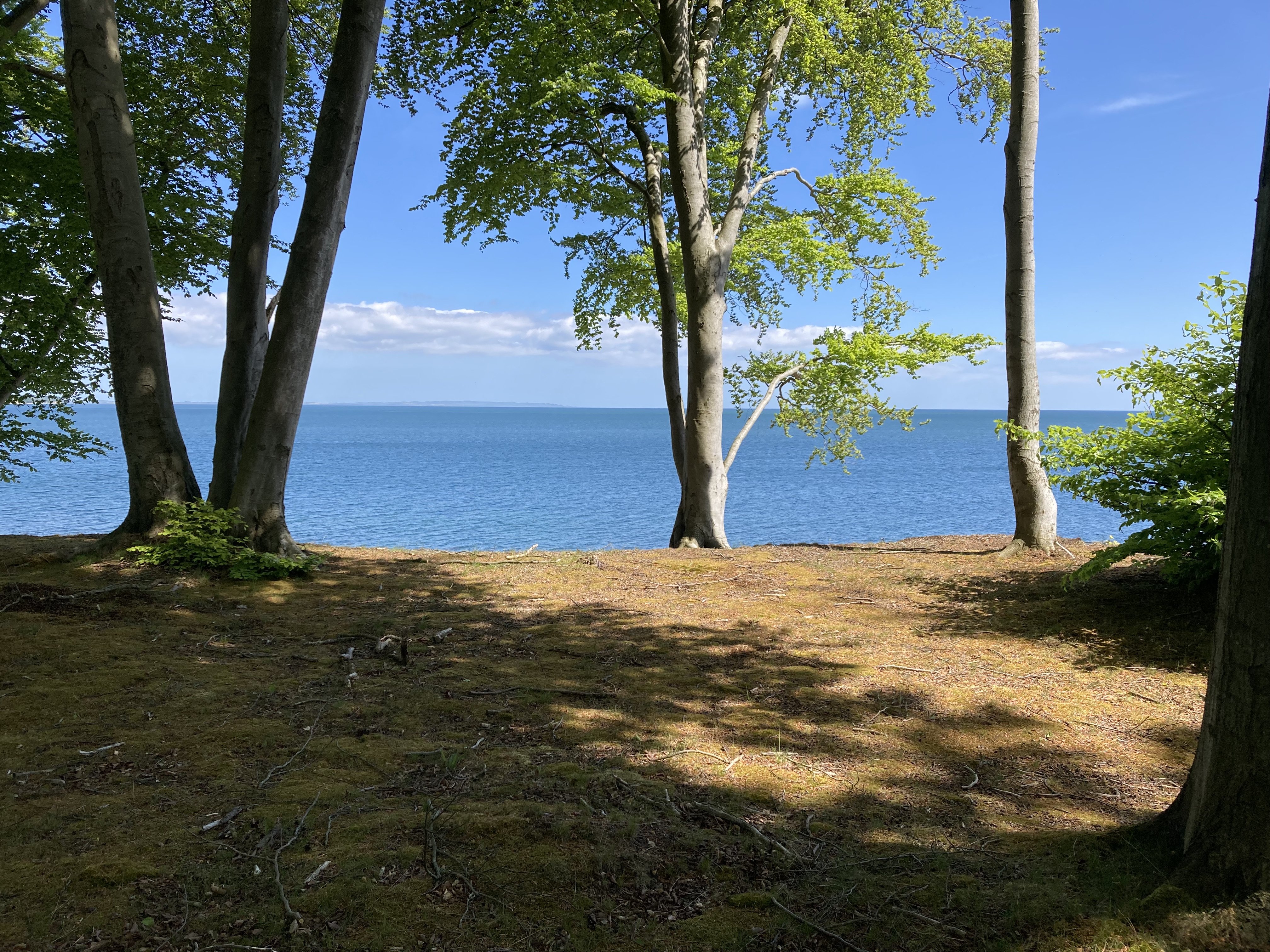
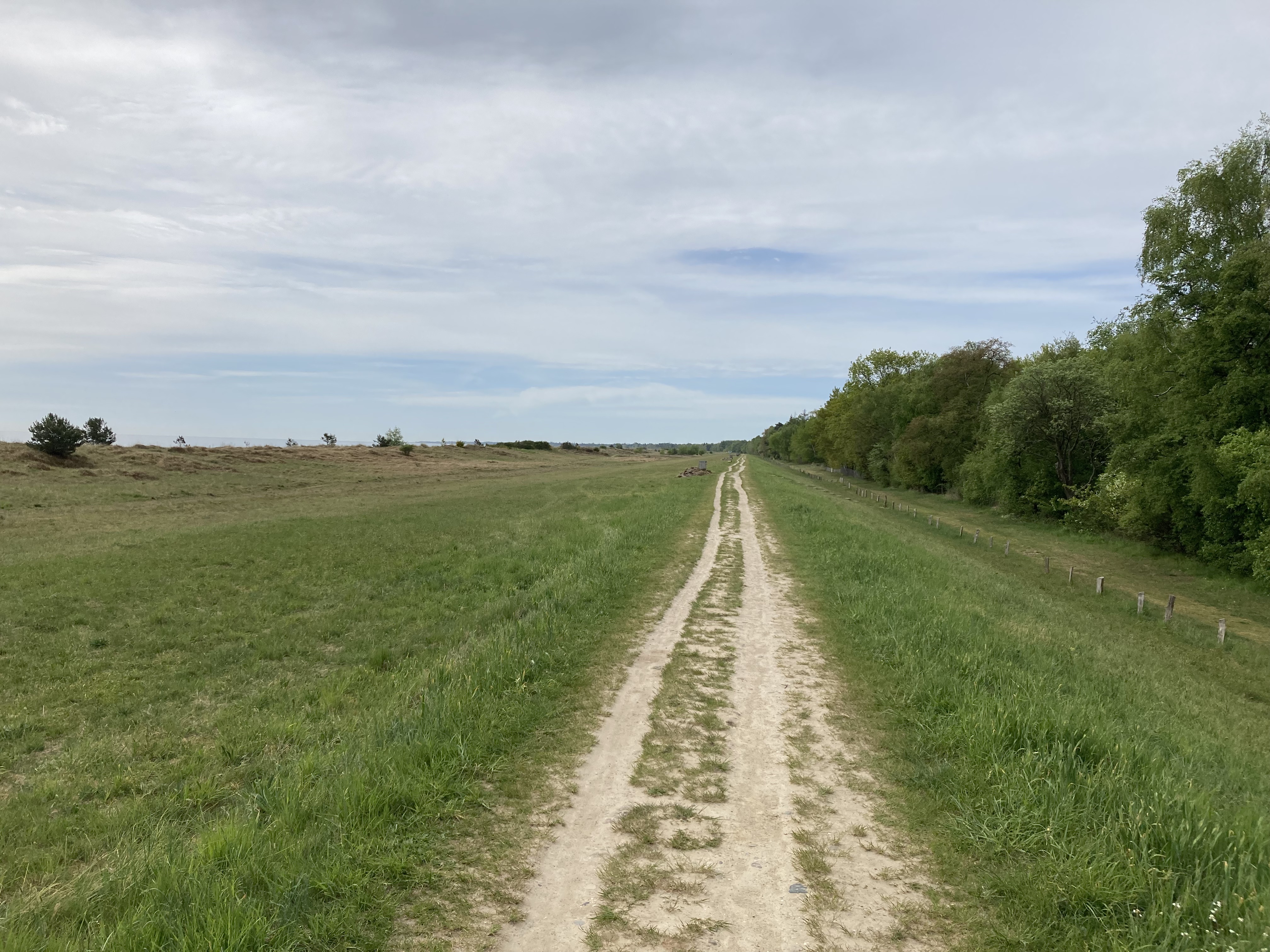
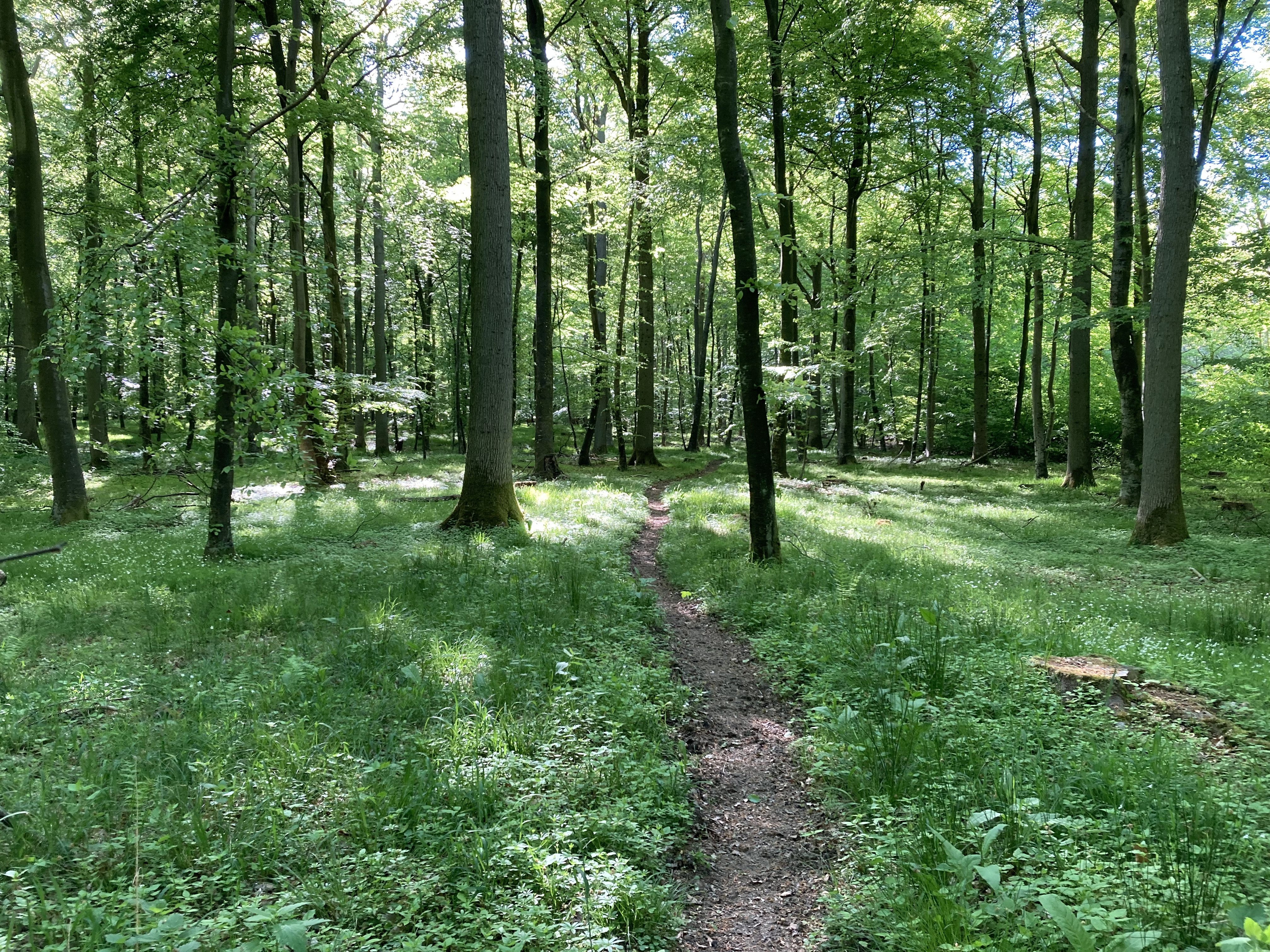
This first day is absolutely amazing. You are walking along the coast all the way with cliffs, forests and wild beaches. Coming out of Stubbekøbing you walk through a summerhouse area and basically follow bike route 8 & 9 after. Here you walk on pavement through the fields for a little bit until you come back to the water where it hits a trail. And from here it’s possible to walk along the coast for the rest of the day. Once you get into Korselitze forest after Næsgaard make sure to find the trail that runs along the beach in the woods. It’s much more exciting than staying on the bike routes. In Hesnæs there’s a great new bakery/café that’s worth a stop, it’s also a good chance to refill the water bottle. Following the coast you will eventually hit Havlykke fricamping which is around 2k south of Ulslev Strand Camping. This makes for a good stop to refill water buy coffee/ice cream and use the restroom. There is a toilet at Havlykke but it is not very nice and when I was there it was actually closed but the campsite is really nice and it’s free (there are toilets a couple km south of Havlykke and plenty along the way in the summerhouse area).

Day 2: Havlykke Fricamping – Bruserup Strand shelter (37,5 k)

On day 2 I was walking along the coast with a breakfast stop in Marielyst. There’s a really nice bakery “Homemade Bakery” south of the main square that’s worth a visit (unless you are there on a monday like me). The town is a very popular summer holiday town with great beaches and lots of cafés and restaurants. So plenty of options unless you arrive monday morning, then your options are Netto or the Kiosk where they have some decent baked goods but horrible coffee. But like my old colleague used to say: “bad coffee is much better than no coffee”, especially on a hike like that. Actually on the way to Marielyst a guy, Jesper, from one of the summerhouses yelled “goodmorning” and invited me for coffee which was really good, so I already had one cup. Funny story, he used to play drums for the band Aqua in the 90s, and we had a great talk which made for a great morning. I love randomly meeting people like that.

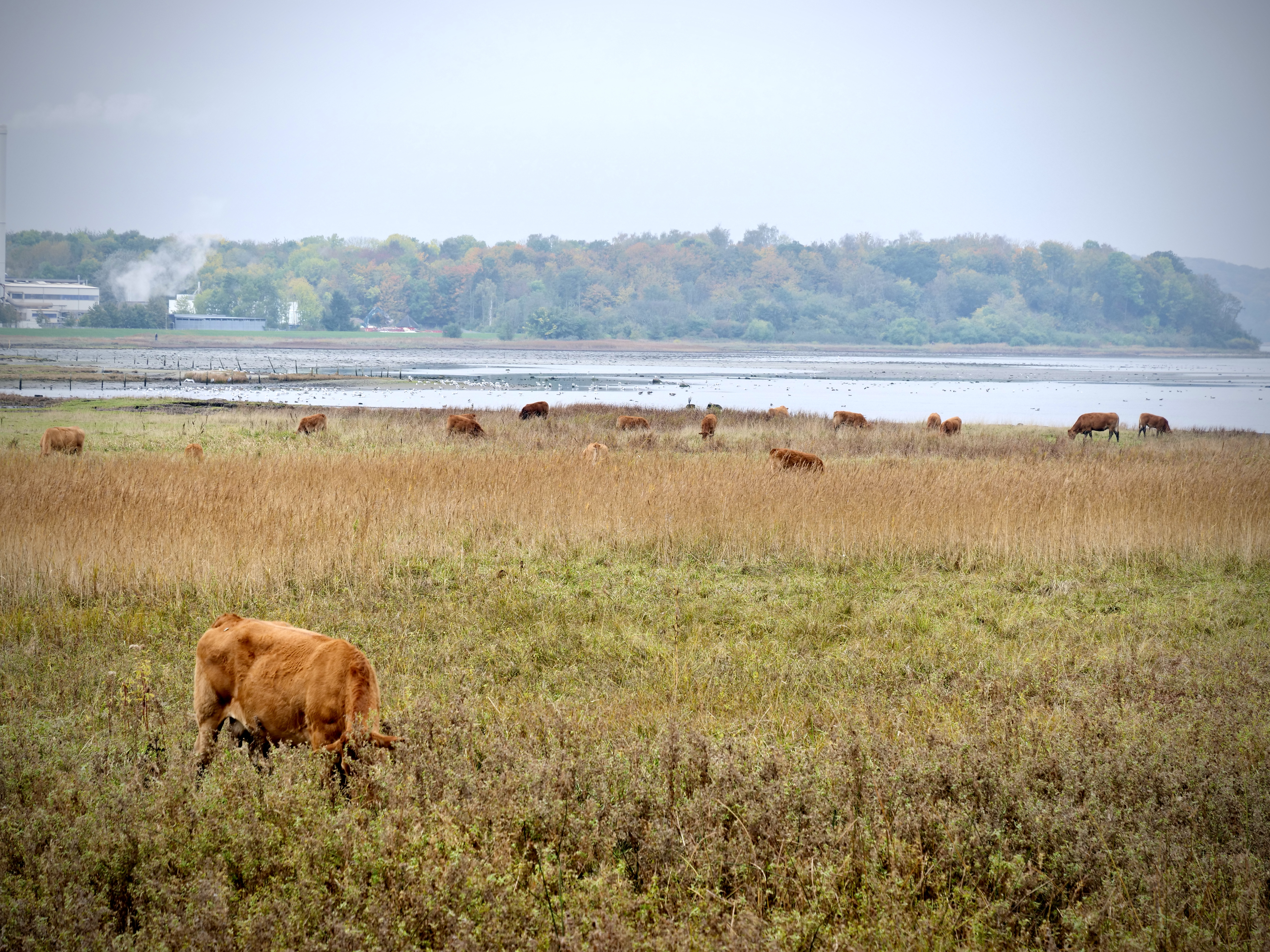
After Marielyst summerhouse area you arrive at Bøtø forest which is pretty cool. It is managed by Den Danske Naturfond that does a great job with reintroducing and protecting nature in Denmark. They reintroduced original species of trees and wild horses. They also bought Marielyst Enge that used to be industrial farmland and are now a haven for birds. It’s connected to Bøtø forest so definitely also worth checking out. Den Danske Naturfond directs 100% of donated means into the projects with no administration fees so if you’re looking for a good environmental organization to donate to this is a great option. It’s 12 kr per square metre so the money goes towards buying old farmland or other land that can be restored back to nature.

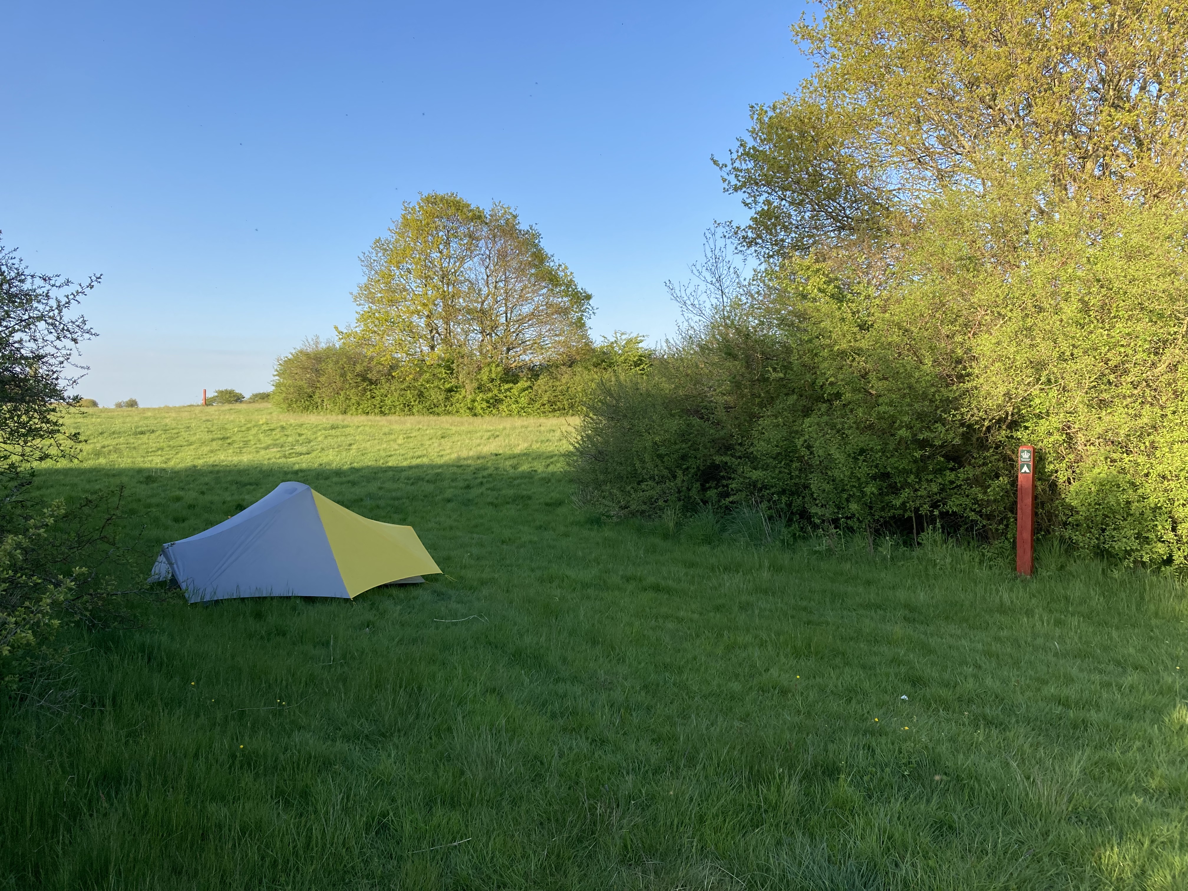
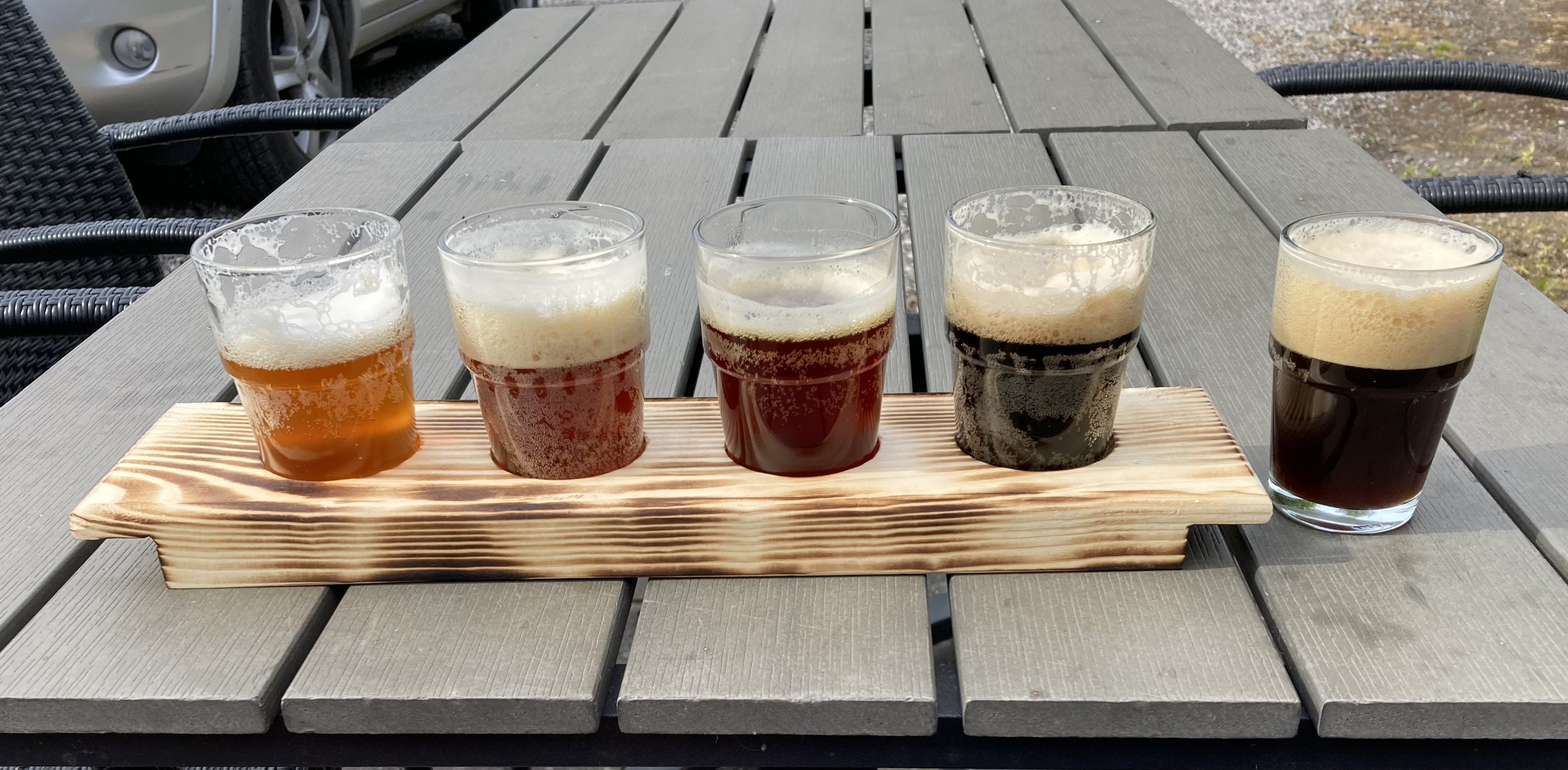
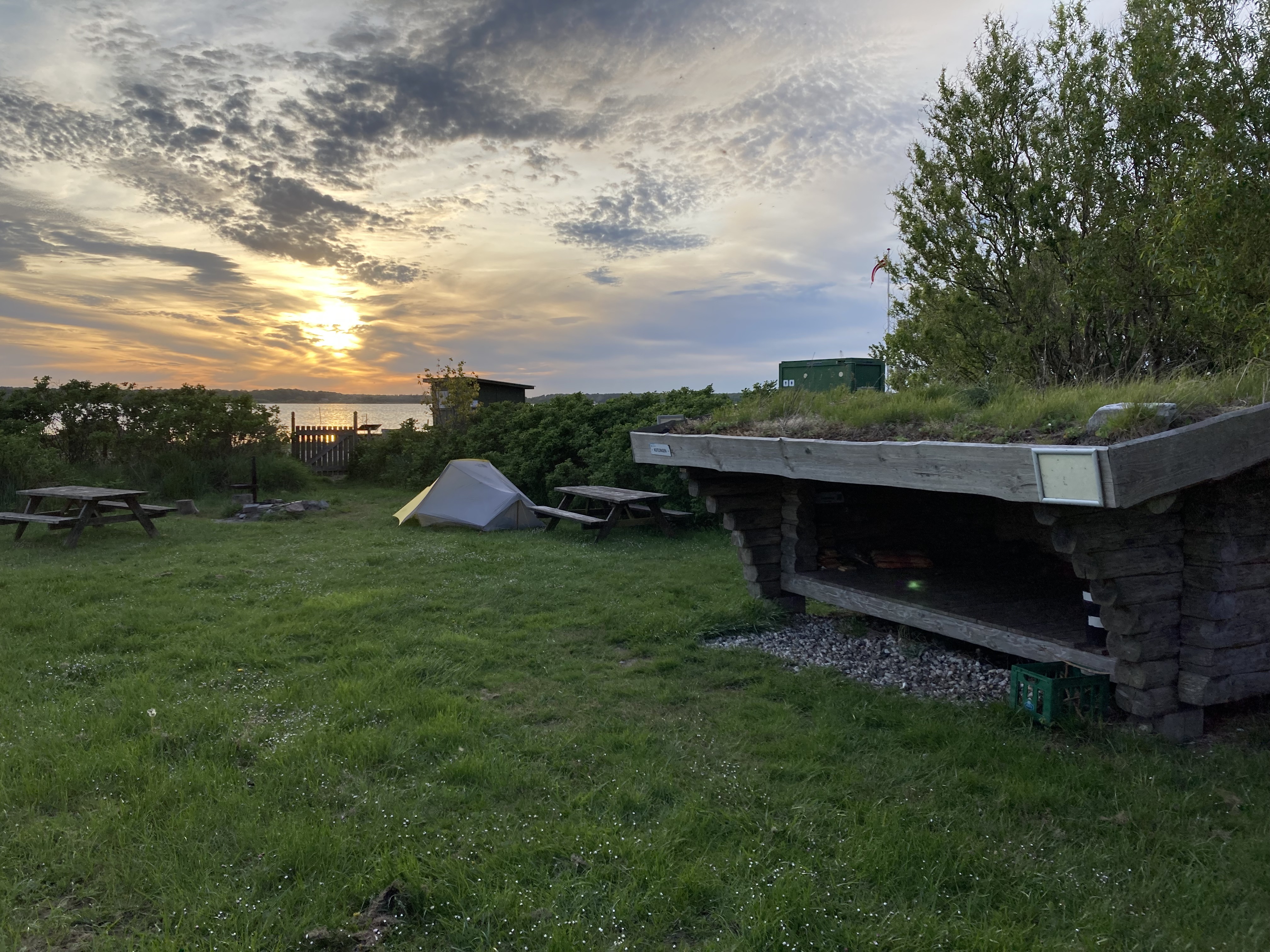
After Bøtø I walked through another summerhouse area and then eventually got to the lighthouse. At the lighthouse I turned right towards Gedser but it’s possible to go to “Sydstenen” which is the very most southern point of Denmark. Sydstenen is 1,5k in the other direction. In Gedser I found a newly opened great local brewery called “Café Købmandsgården”. It was actually closed but I just walked in and the owners was there and welcomed me with open arms and plenty of good beer. Neatly it was close to the only pizzaria in town so the combo was a great decision. I originally planned to stay the night in Gedser (there are 2 shelter options) but decided to move on to Bruserup Strand Shelter spot, that was 12k north of Gedser. The walk there from Gedser is pretty boring but the shelter spot is nice right next to the water with toilet, water and a nice sunset. Another option is to go back through Bøtø and maybe Marielyst Enge and stay at the shelters in Marielyst camping.

Day 3: Bruserup Strand shelter – Stubbekøbing (43 k)

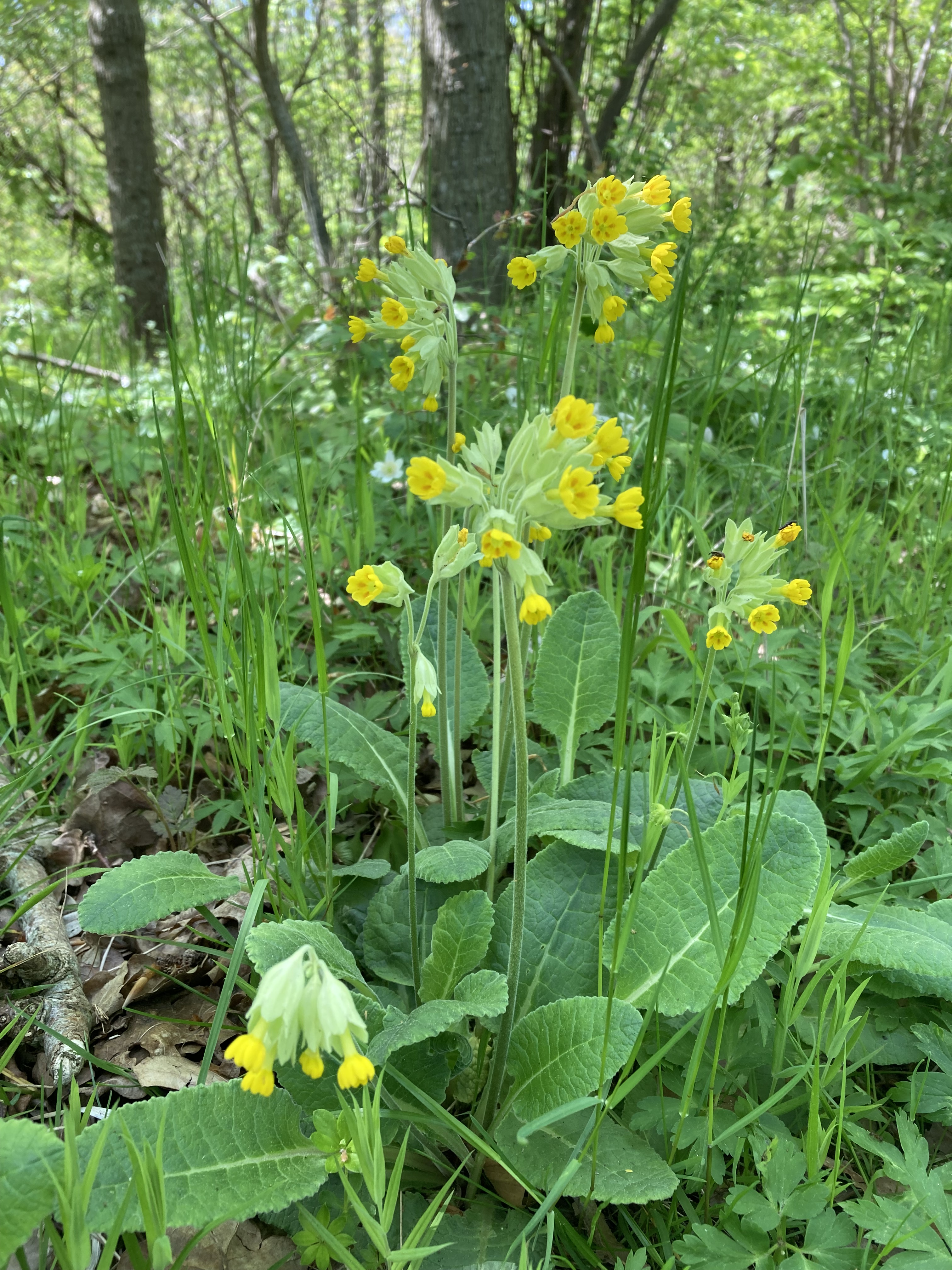
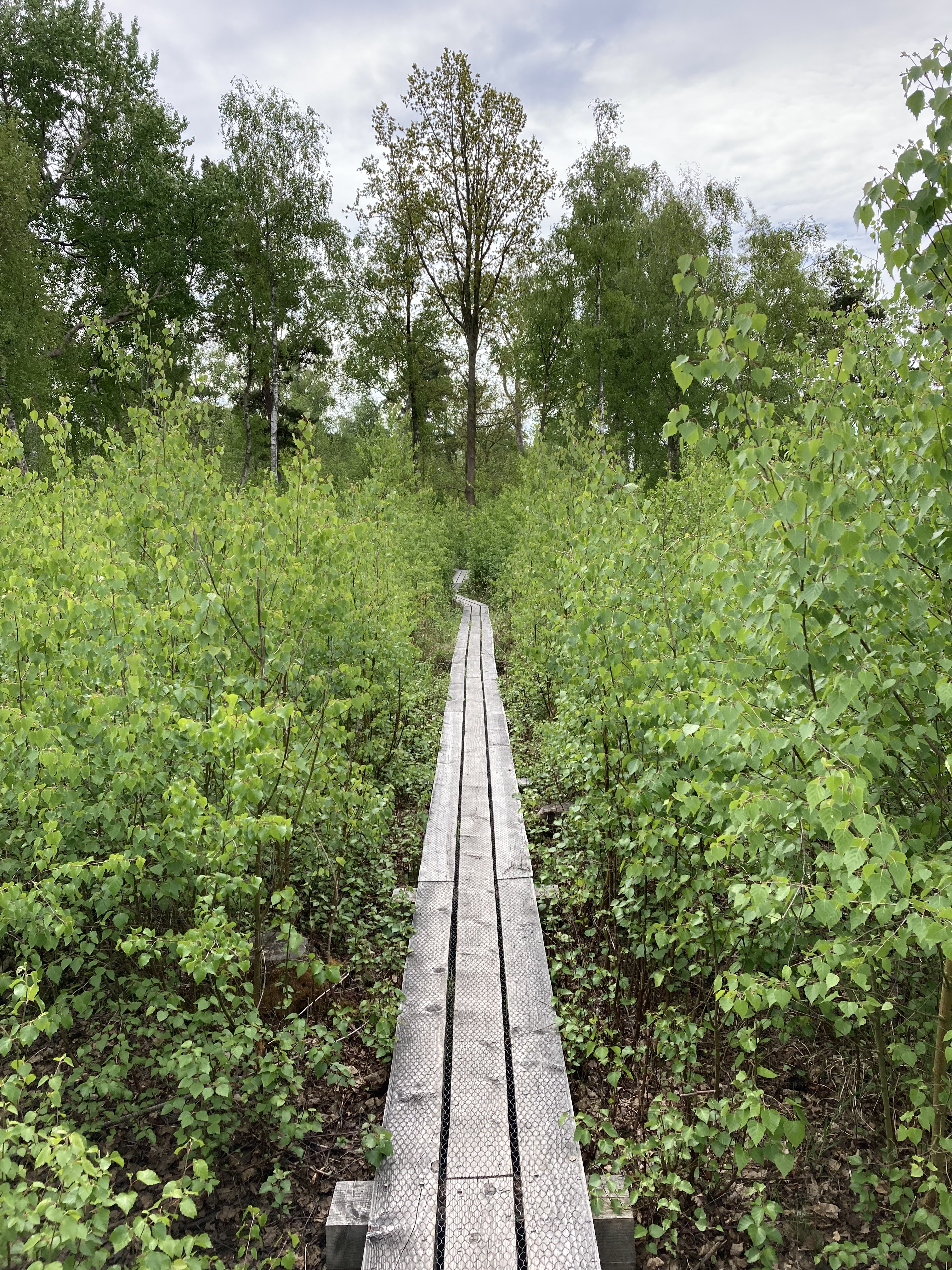
The first part of day 3 was walking on pavement to Væggerløse. I arrived in Væggerløse pretty early and was looking for somewhere to get a coffee and bread. There is nowhere in town to get coffee so I went to Dagli Brugsen where they had some good bread and pastries and luckily the guy at the counter was really nice and made me a fresh brew of coffee. I sat outside the local whiskey distillery and had a great morning. After Væggerløse the walk starts to get more exciting along the coast through Hasselø. At some point theres a nice nature trail you can follow around the coast that ends with a shelter spot. I continued to Nykøbing Falster and had a great lunch omelette at Café 3kanten that’s right next to the water. Unfortunately I ate the omelette faster than I could get out my camera so I only have a picture of an empty plate!

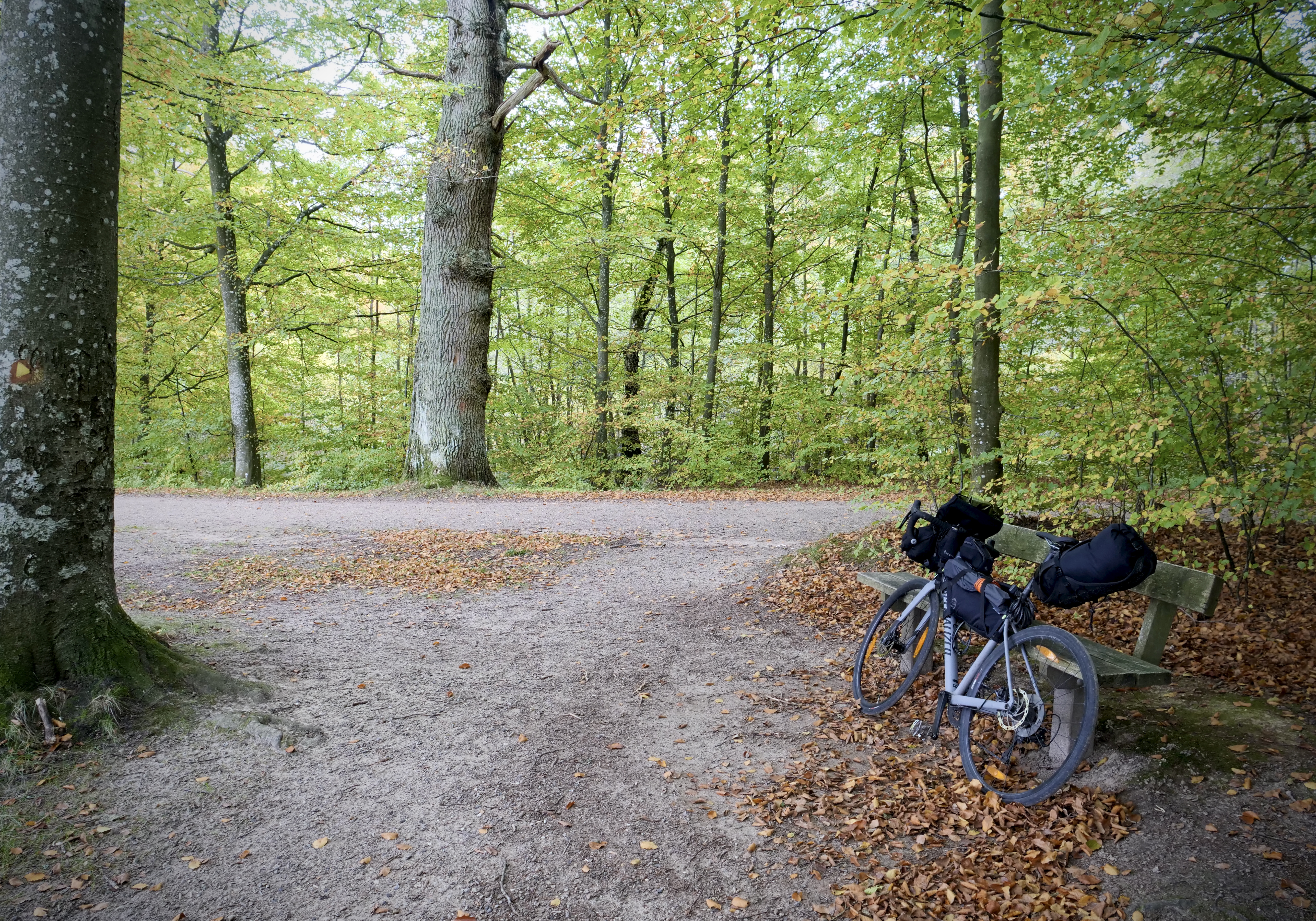
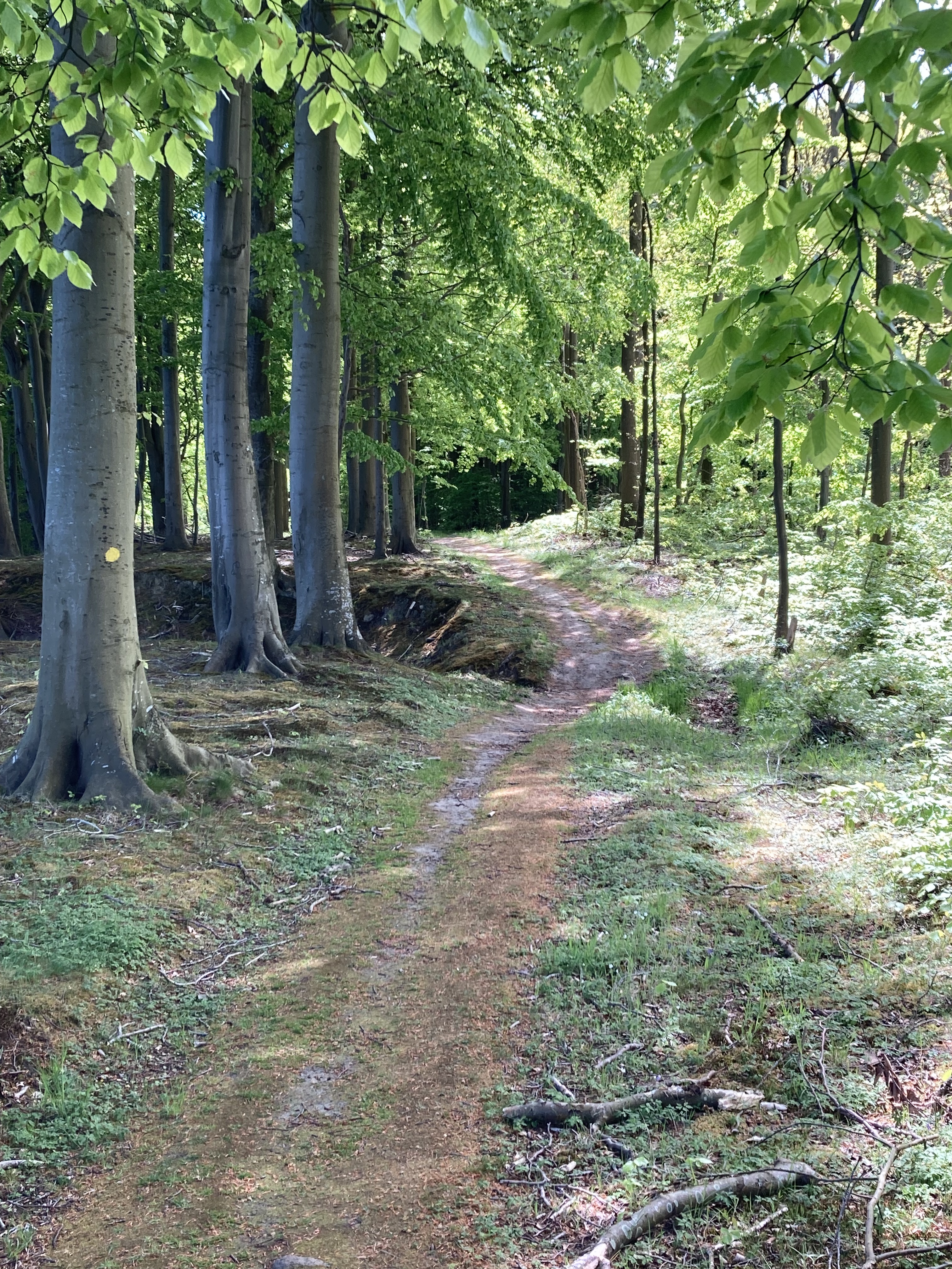
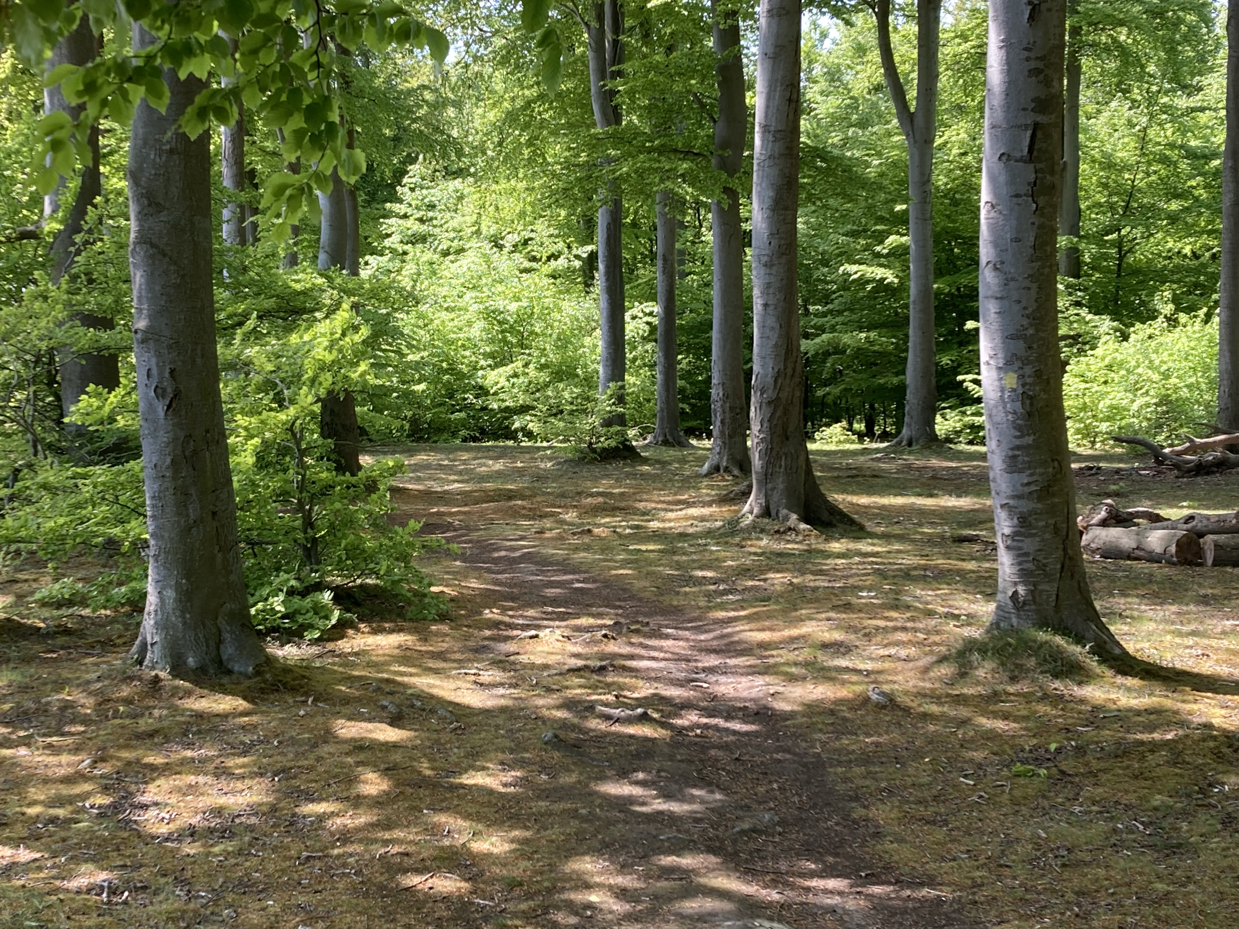
After Nykøbing there is a couple options, I chose to go straight towards stubbekøbing through the Hannenov and Ovstrup forests which is really nice. I was thinking to stay the night in the shelter at Hannenov but decided to go all the way to stubbekøbing. Also you are allowed to pitch your tent anywhere you like in those woods. Another option from Nykøbing is to stay by the coast on Sundruten but then you would need another day. Sundruten and most other bike routes are also visible on the off line app I use called MapOut. I highly recommend it, it’s great in the field and It’s a one time payment around 7 usd with no subscription. Just download the map areas where you are going beforehand.

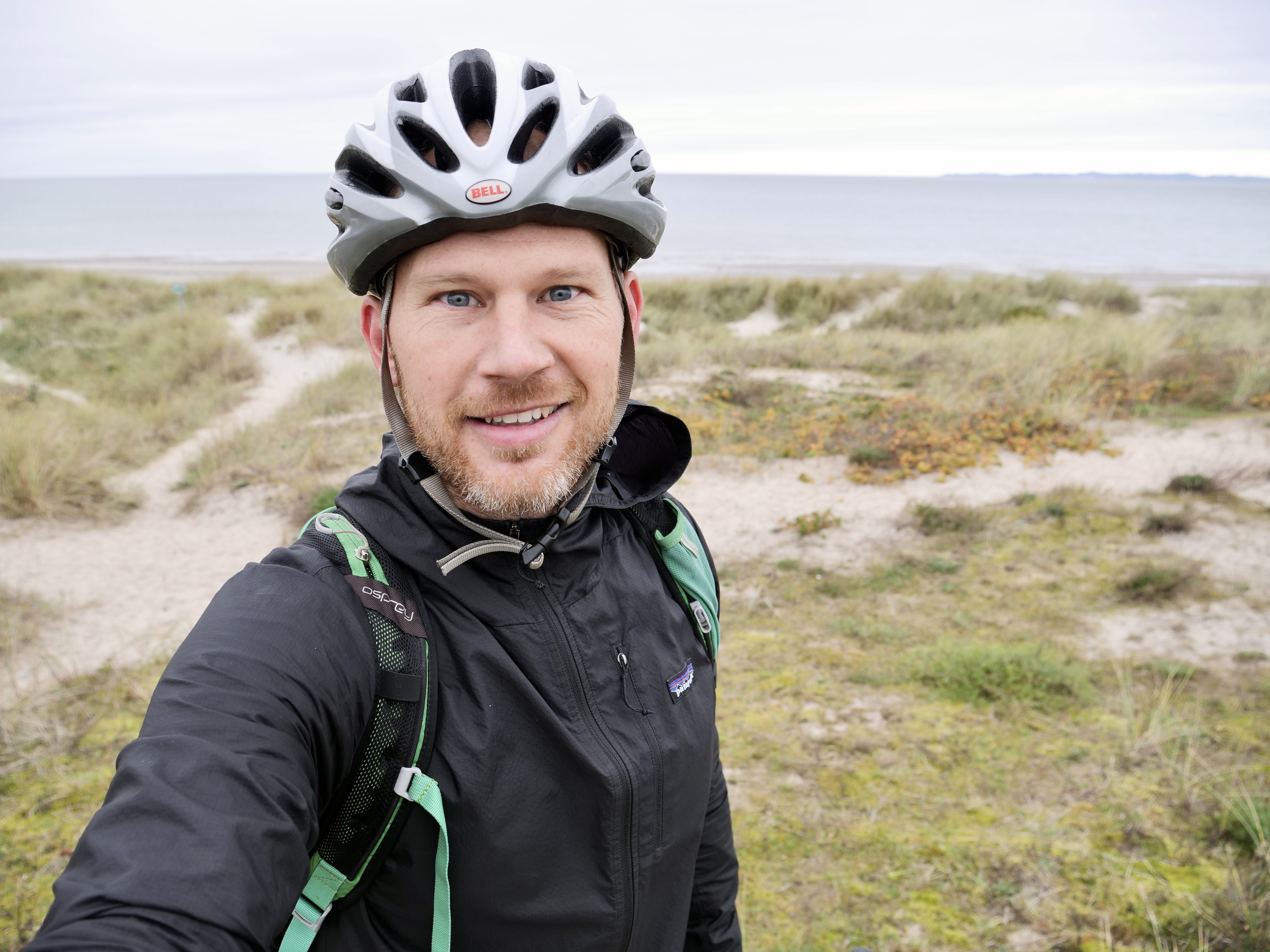
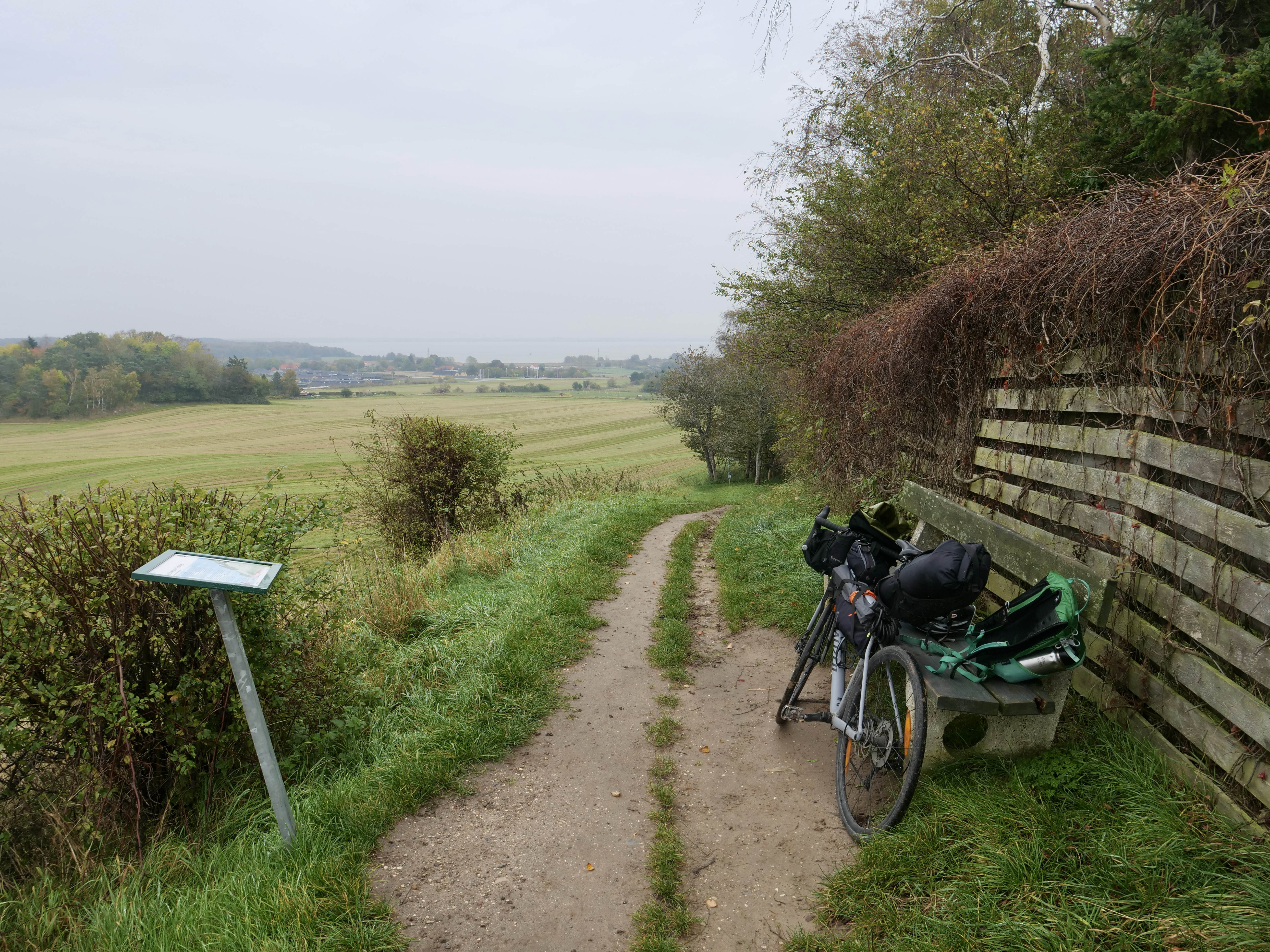
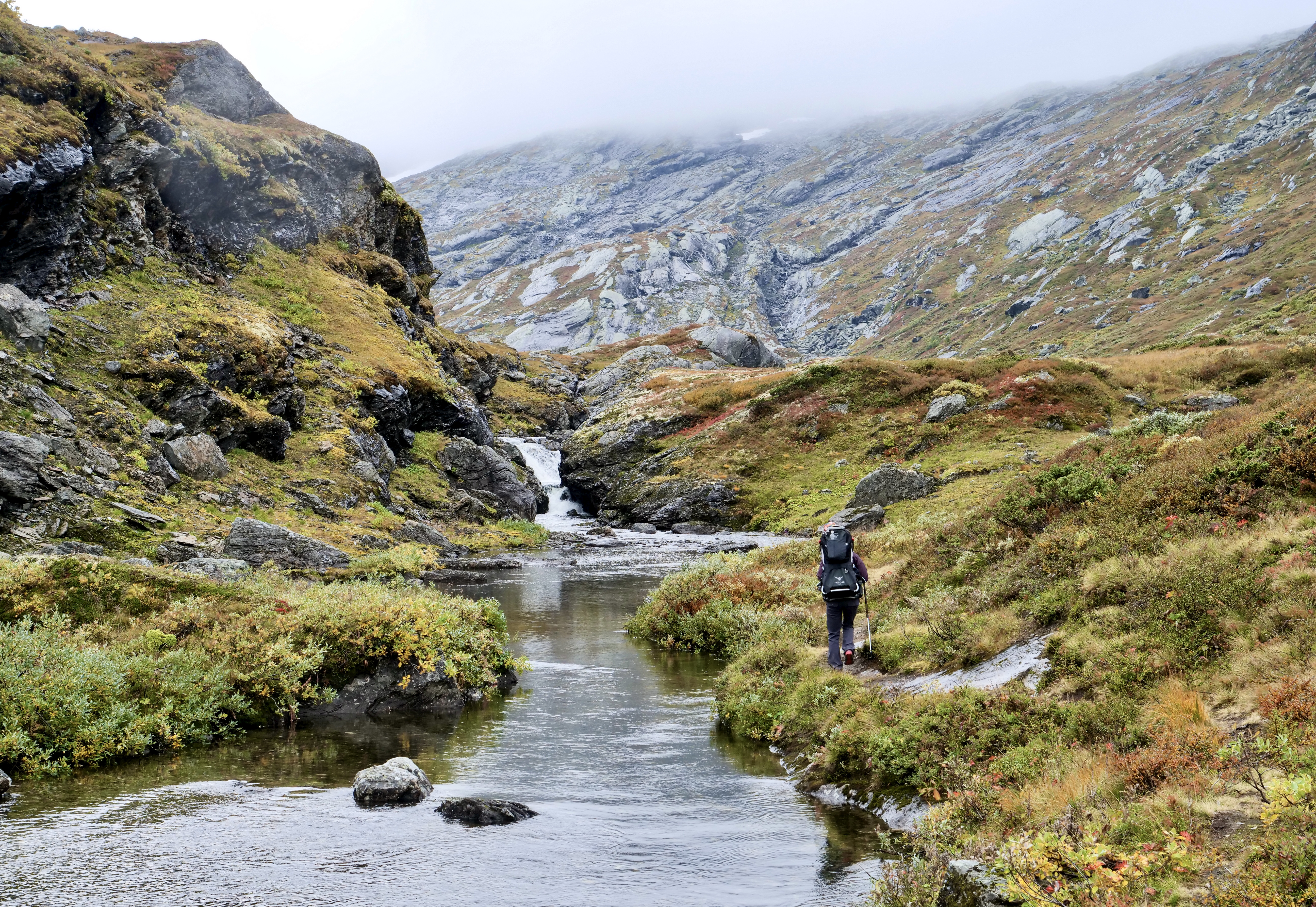
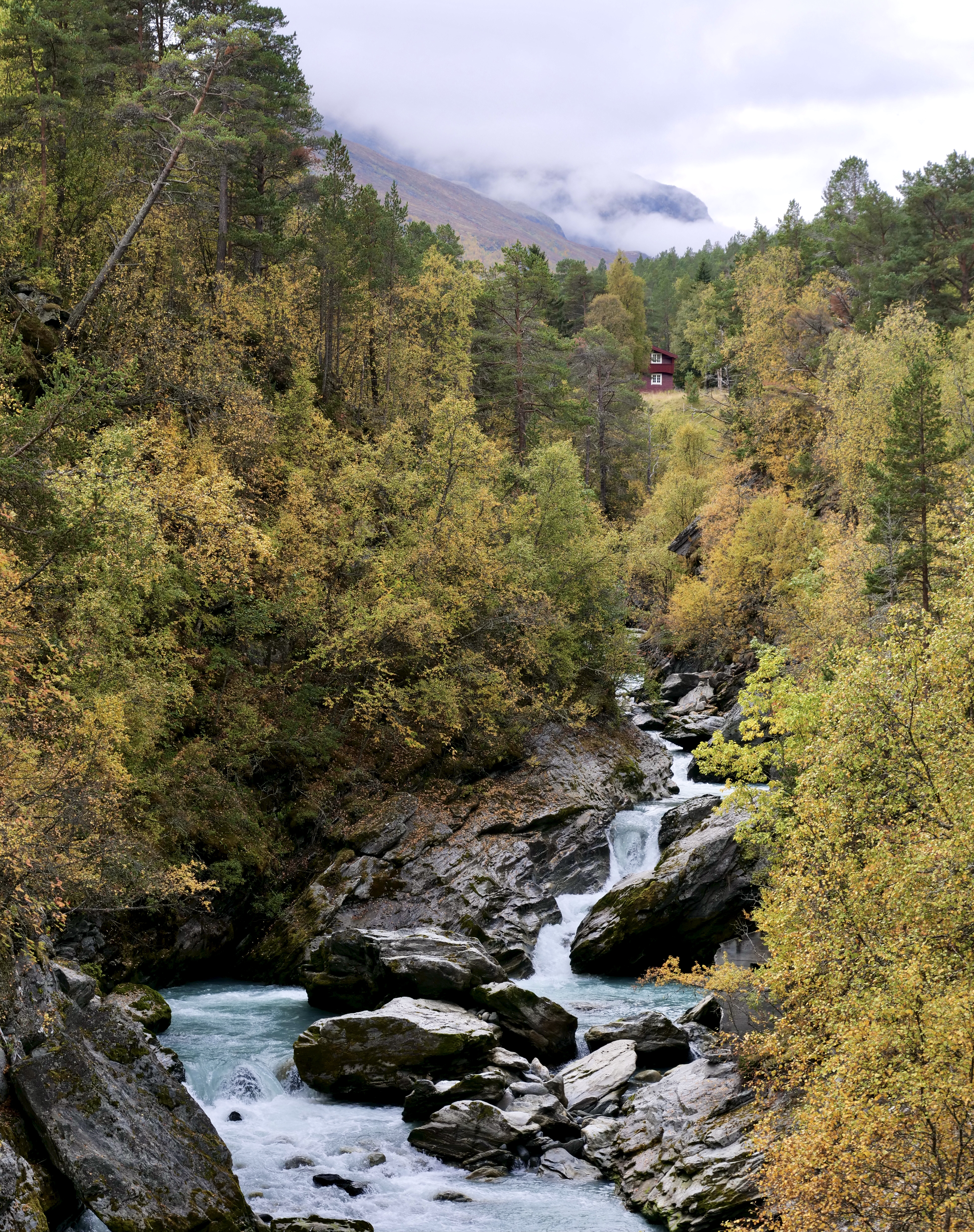
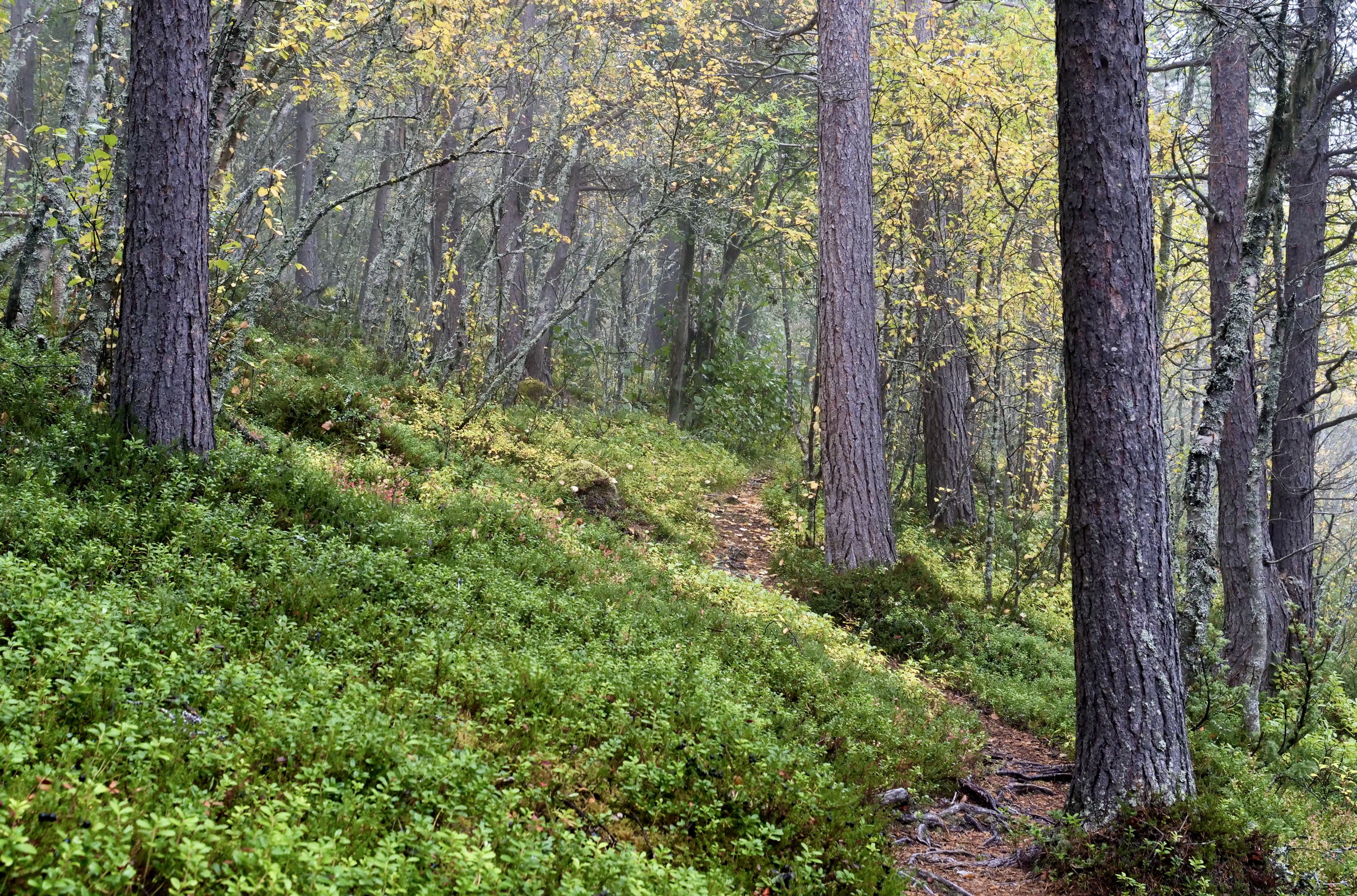
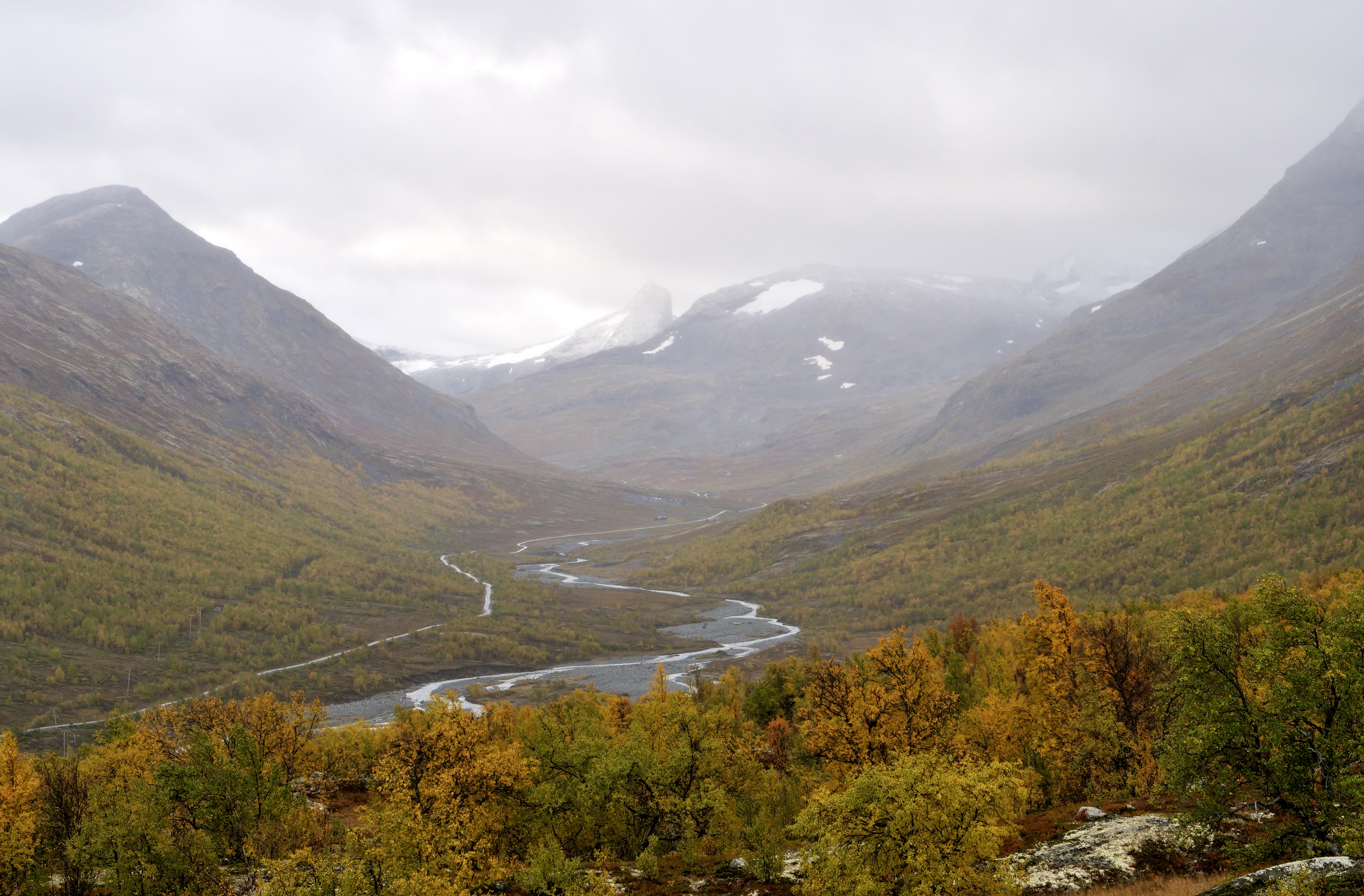
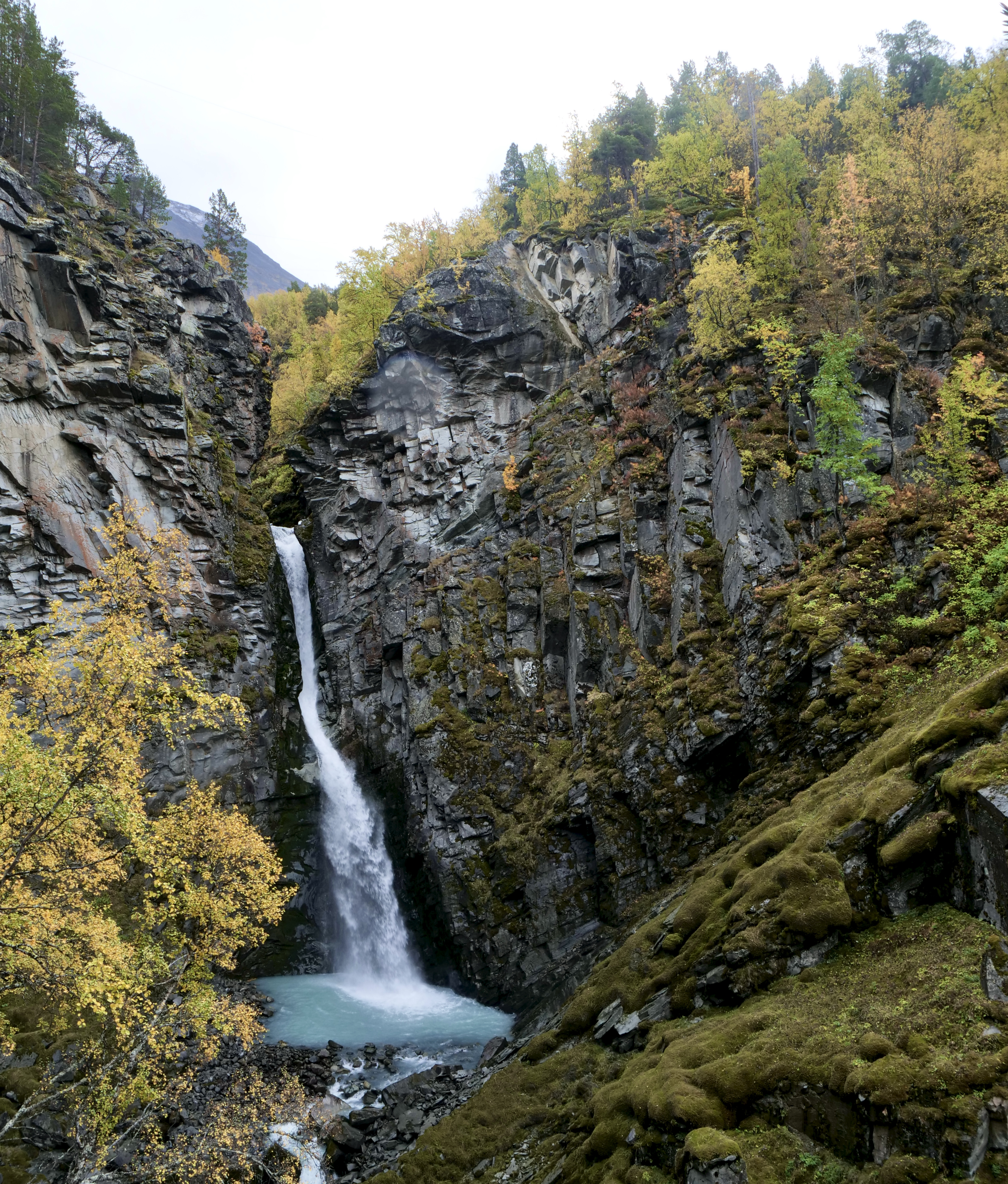
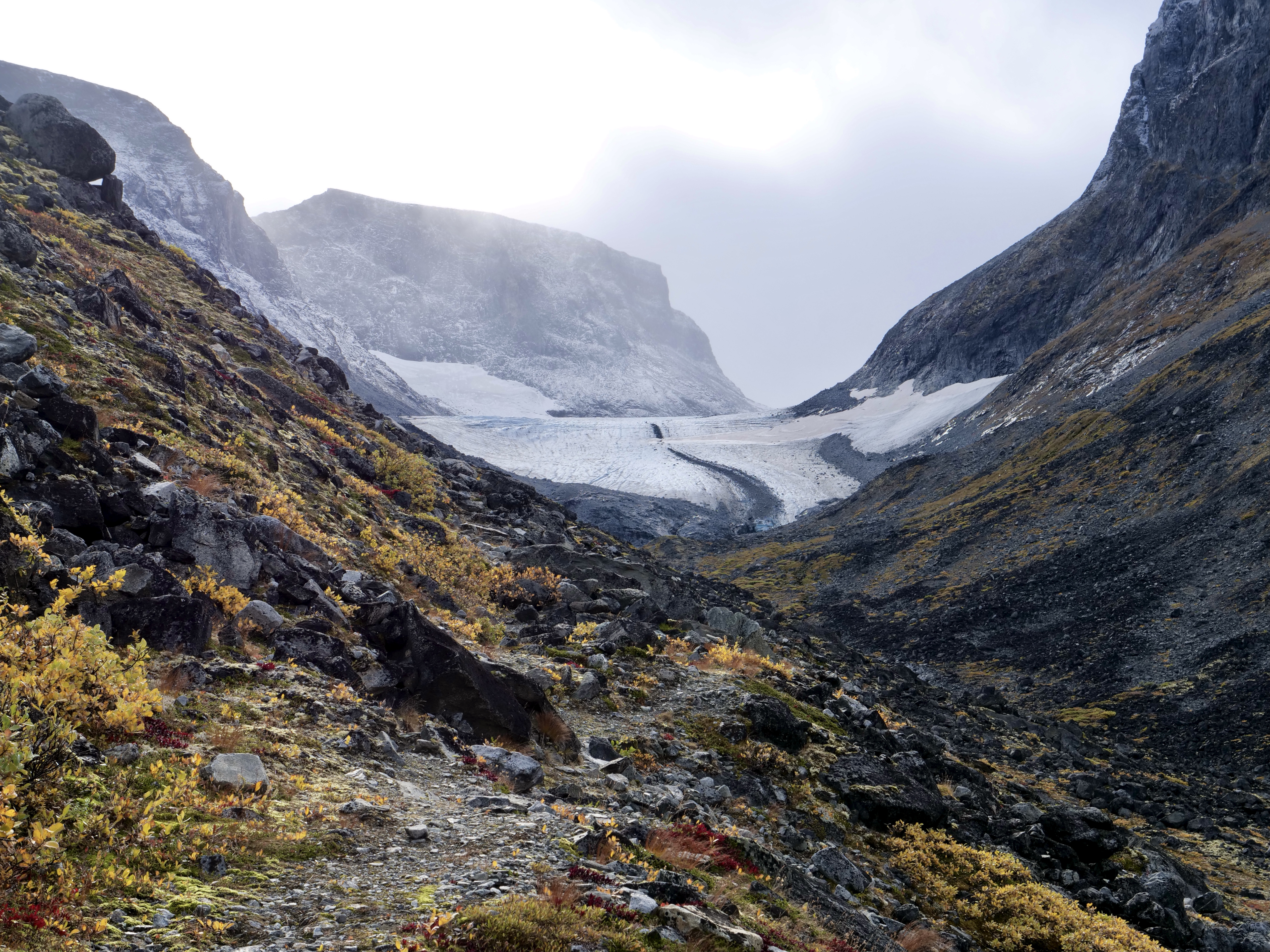
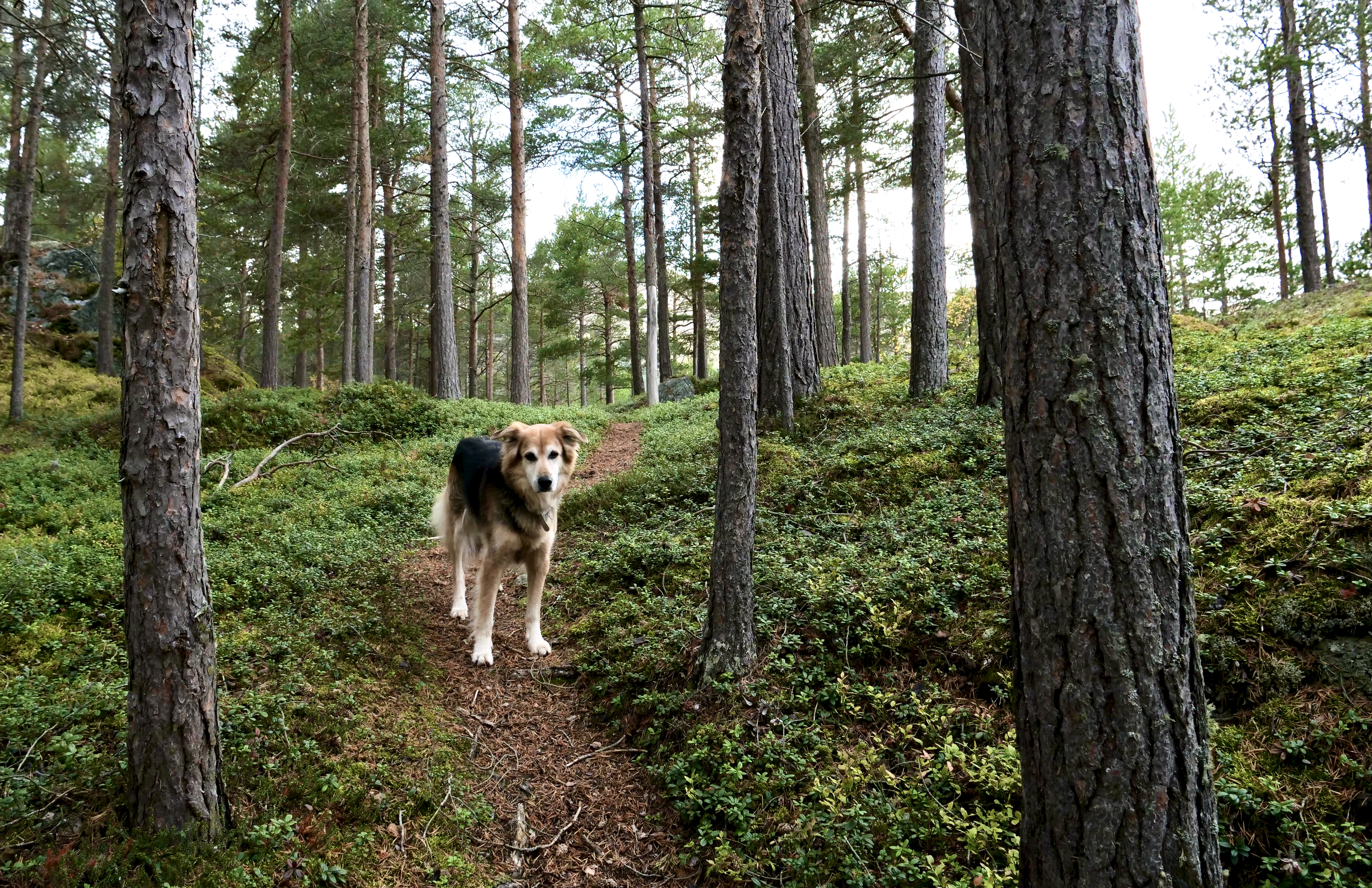
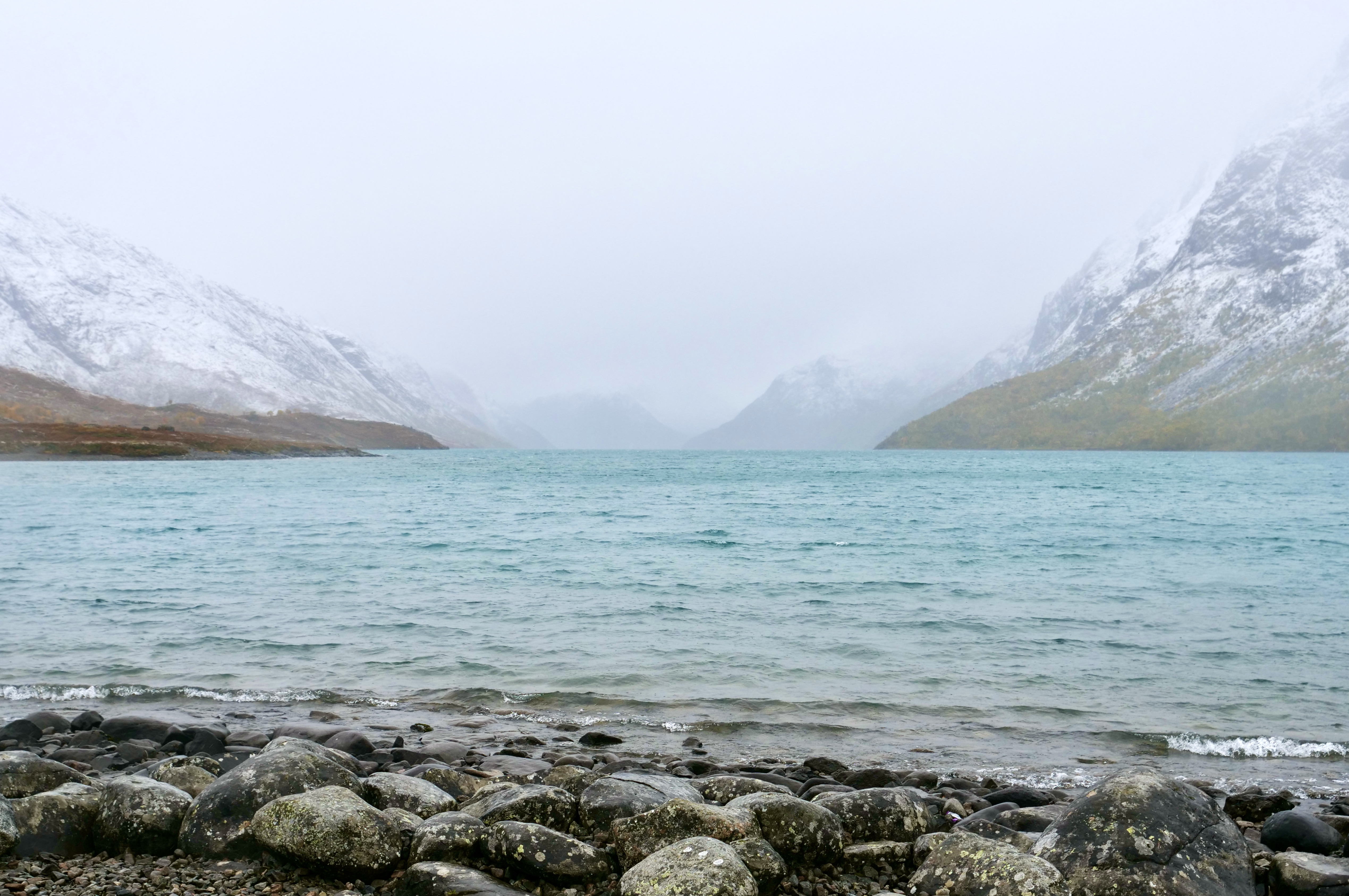
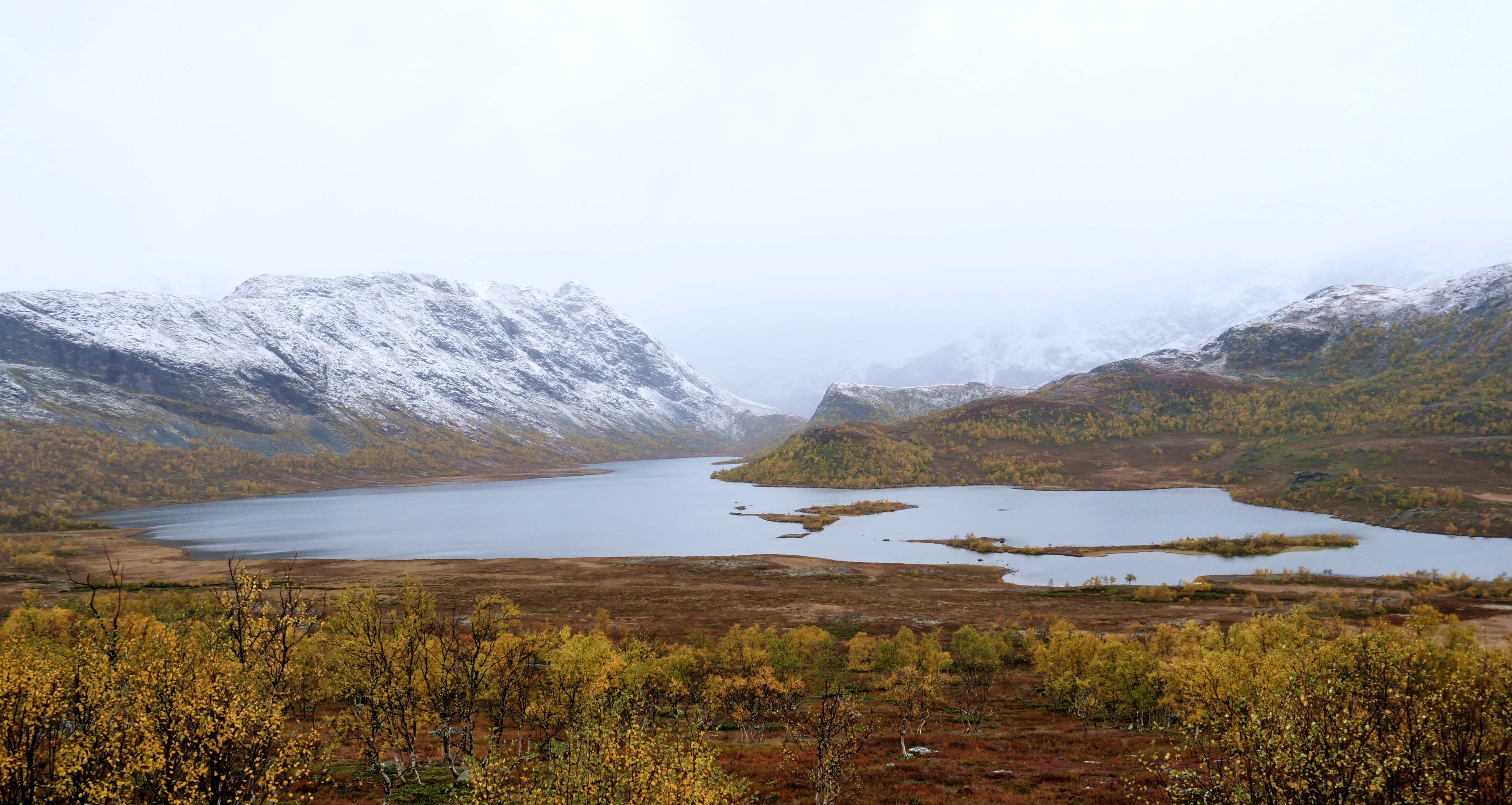
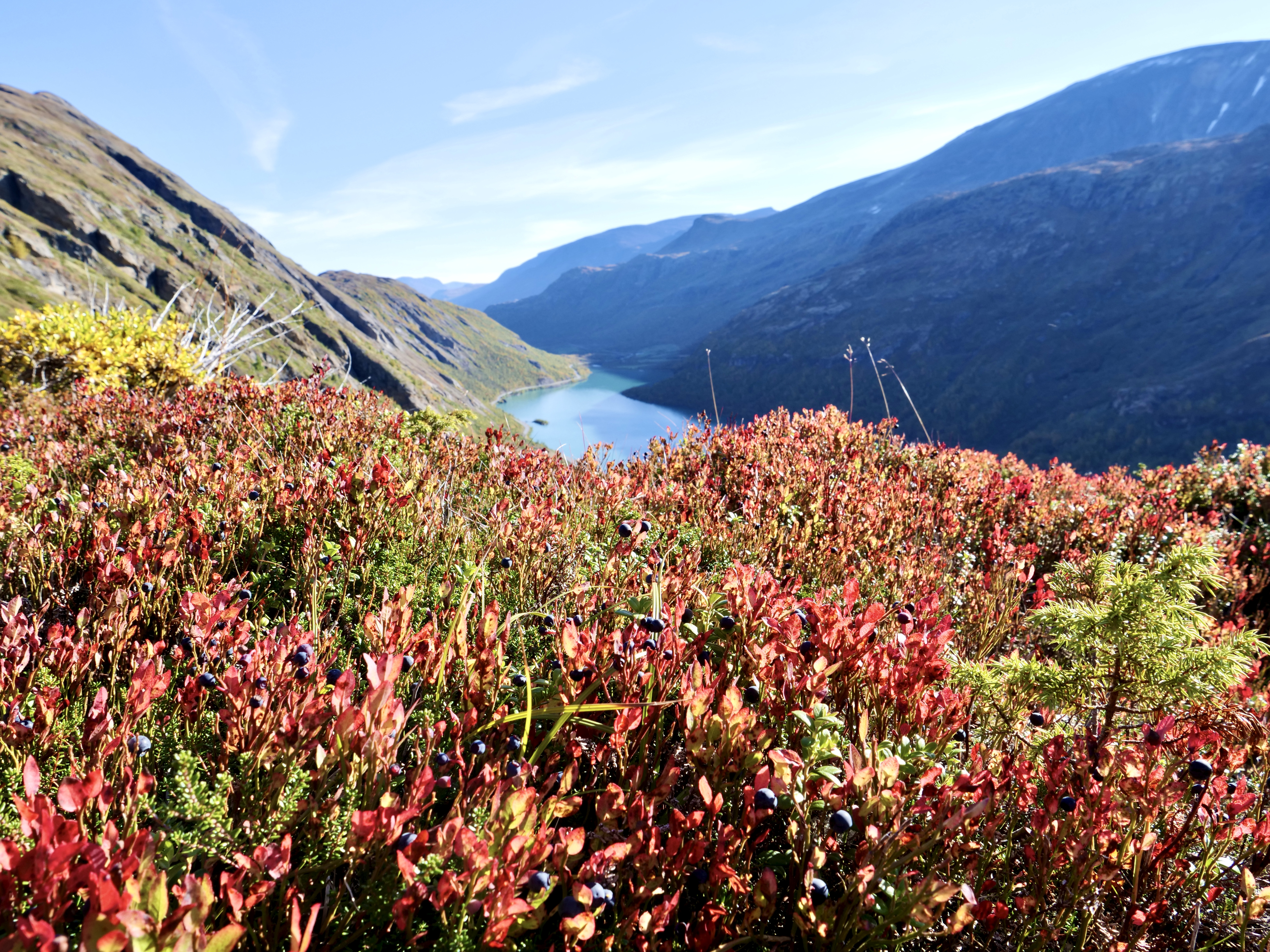
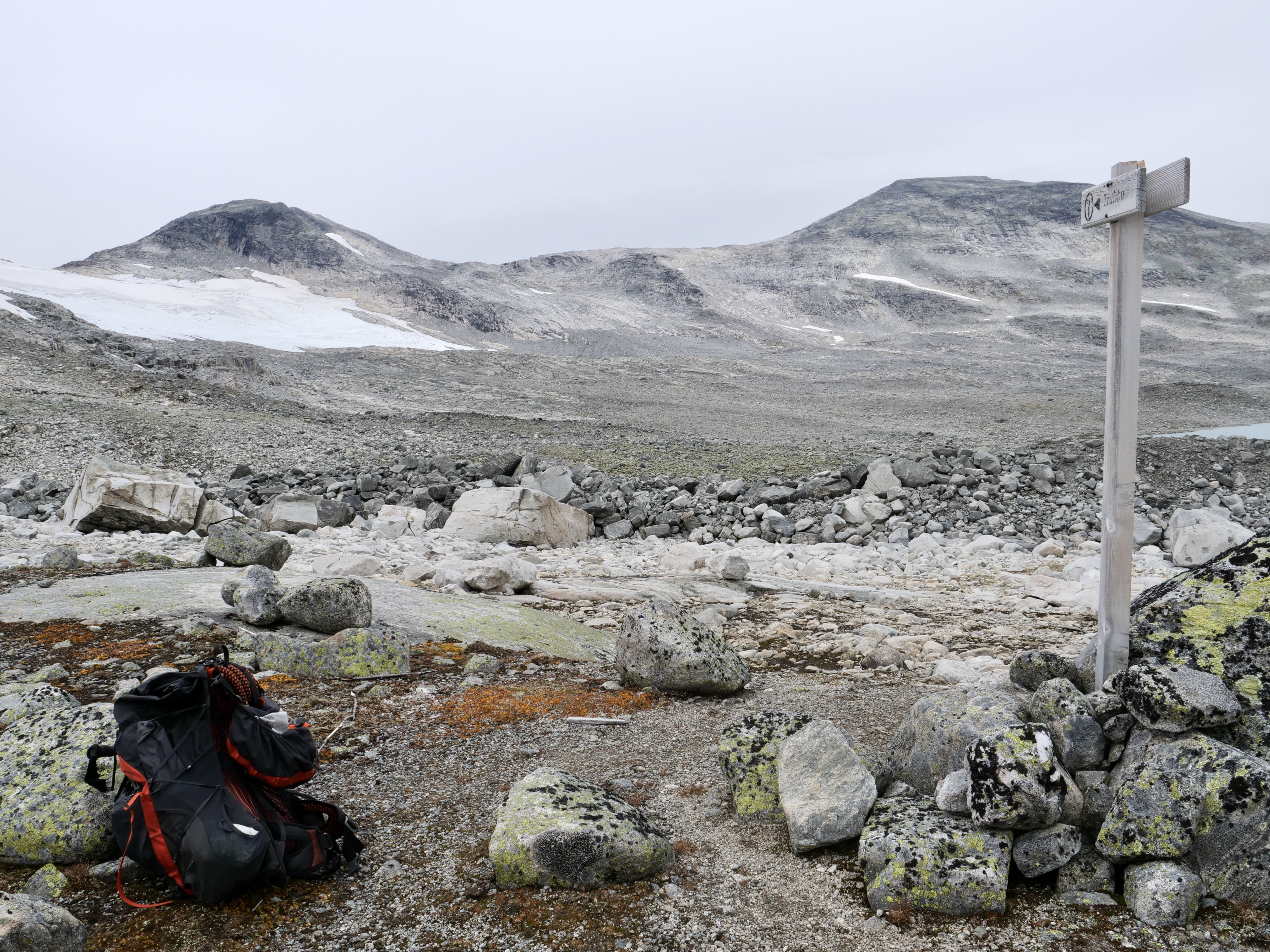
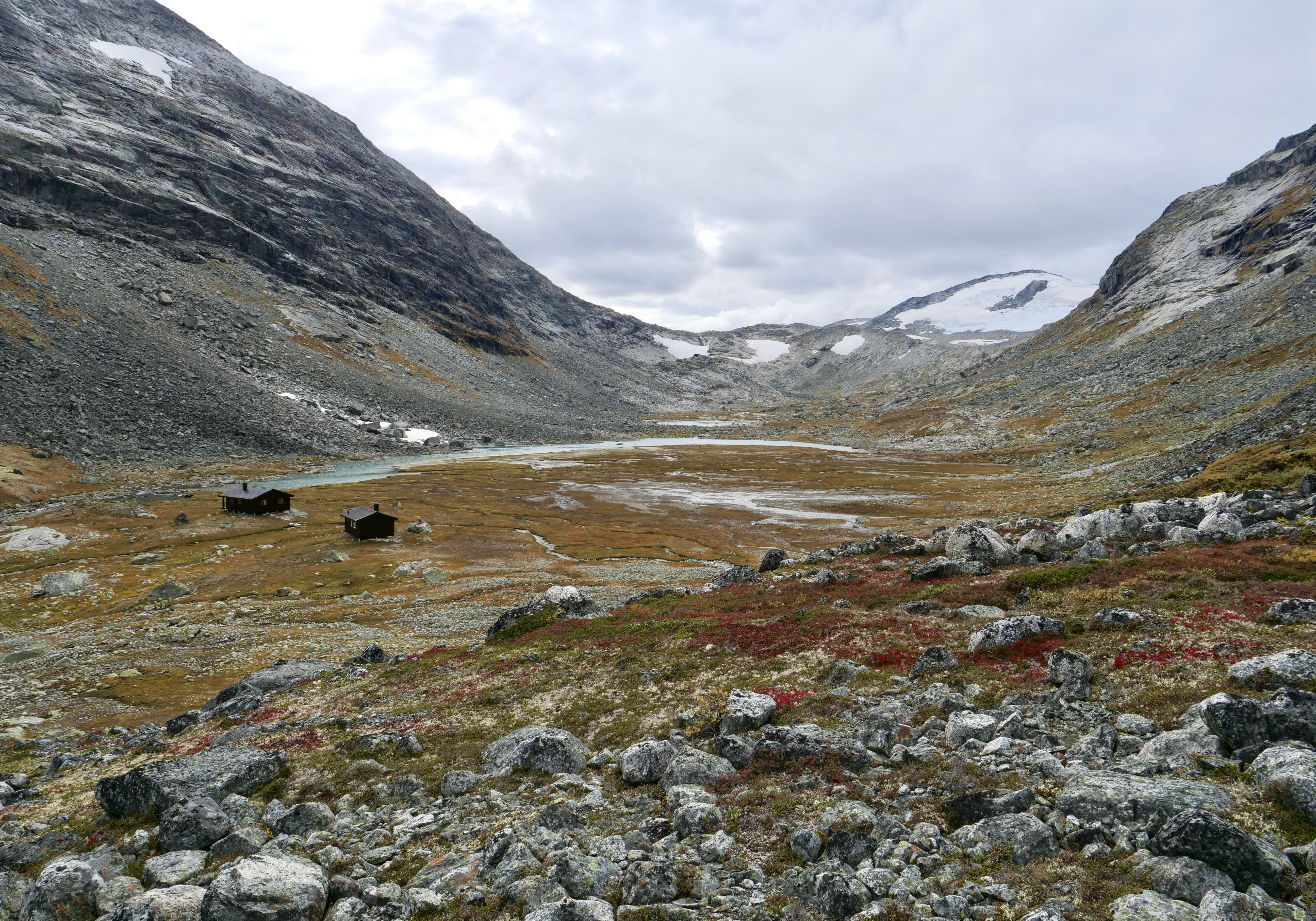
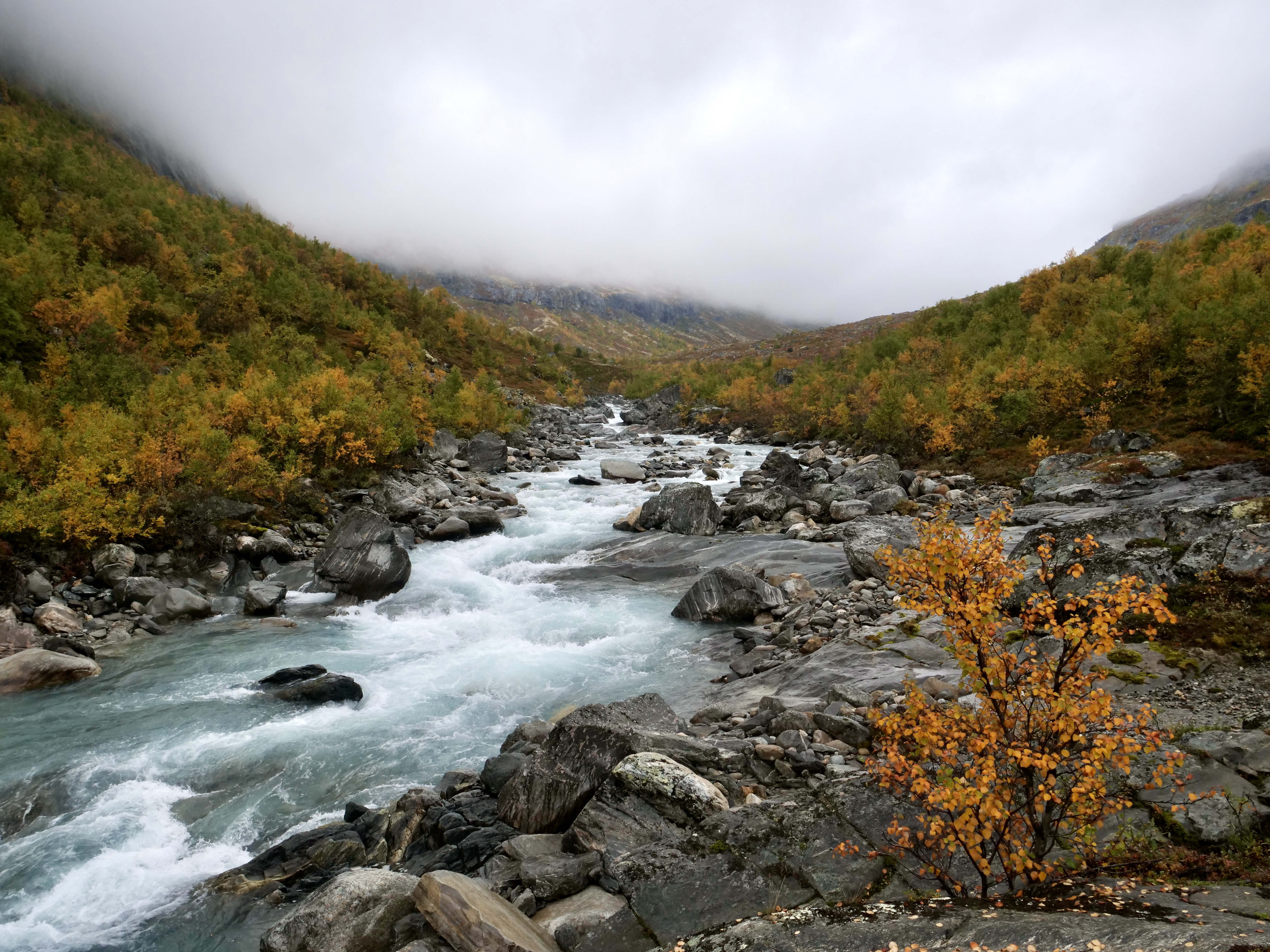
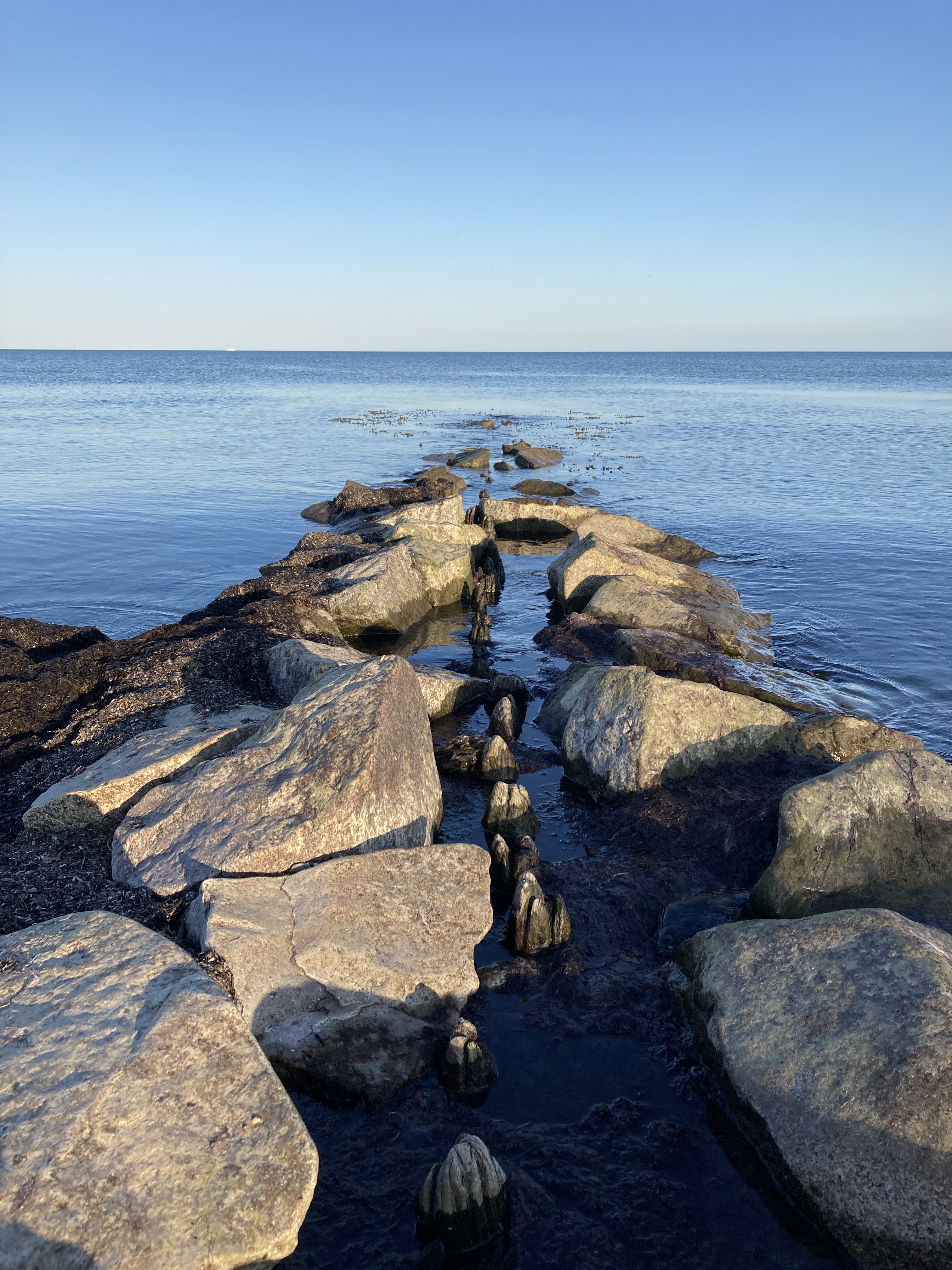
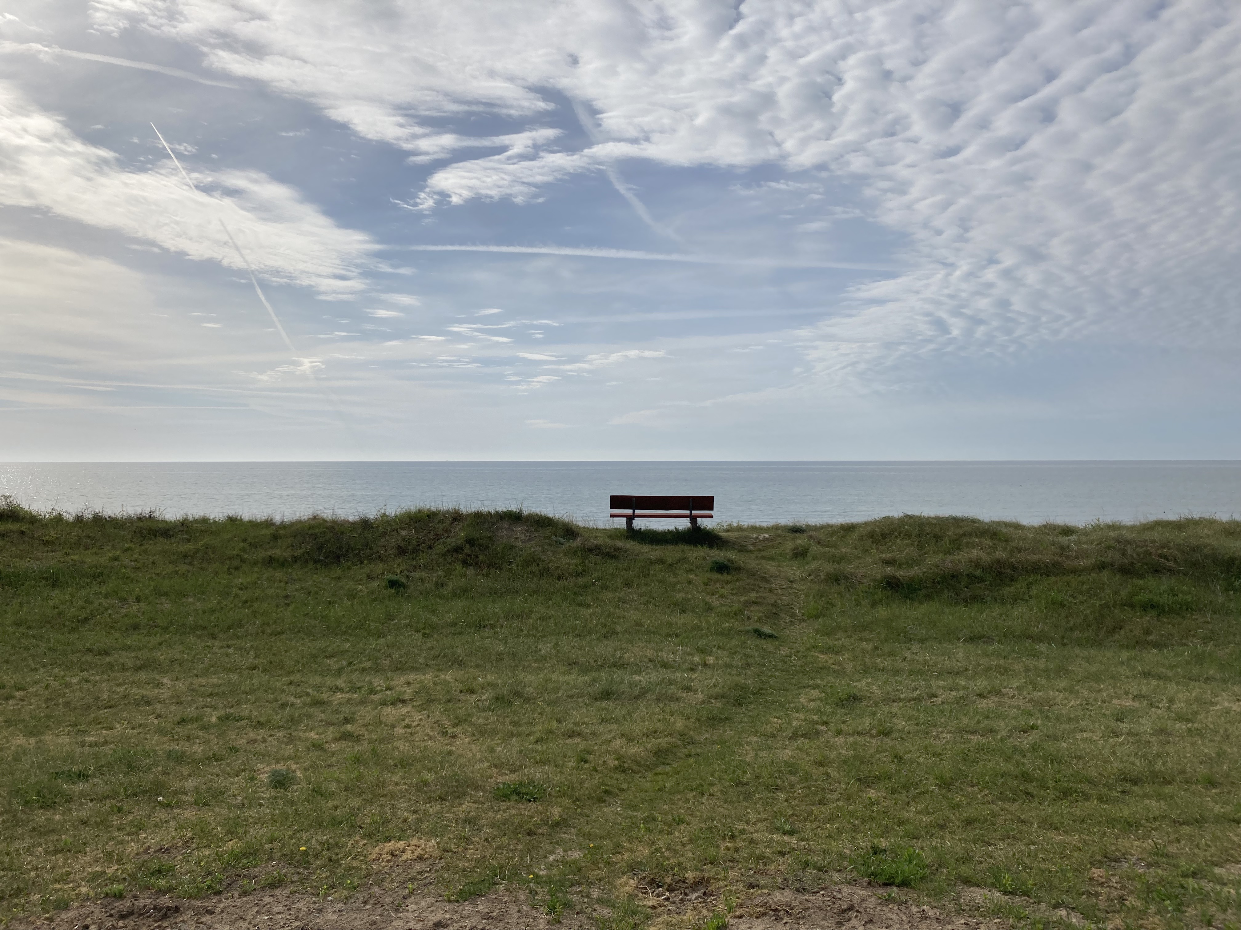
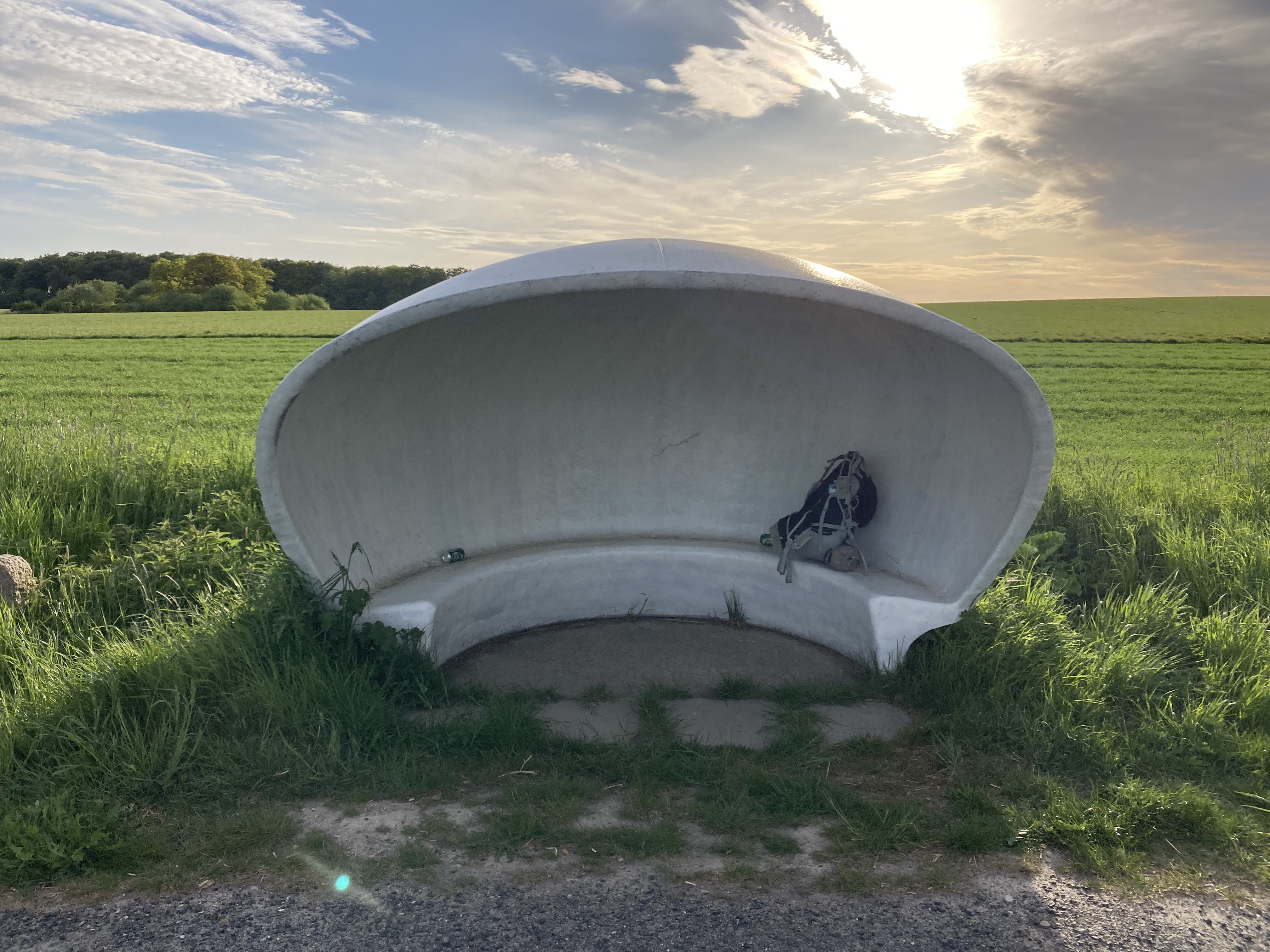
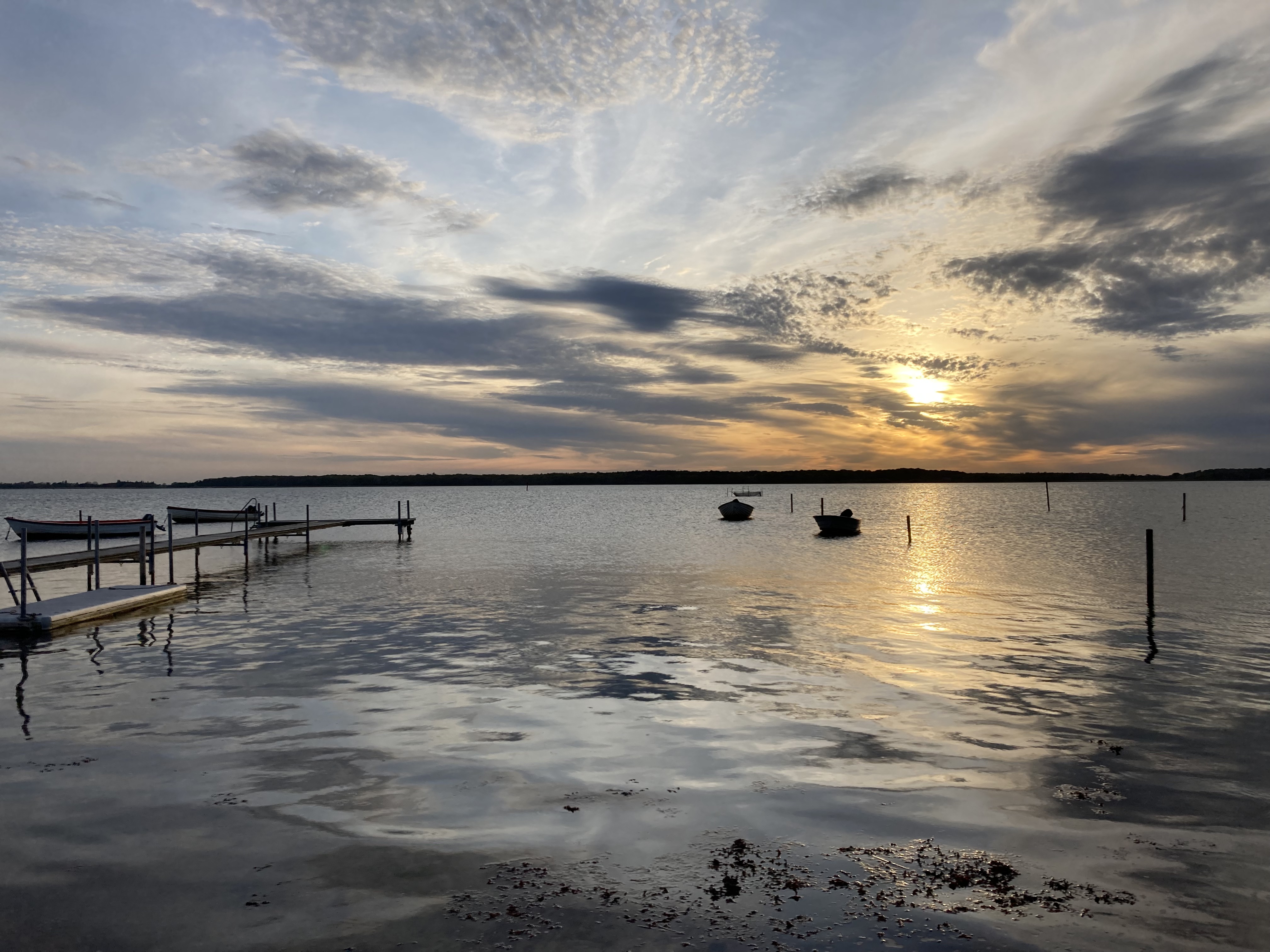
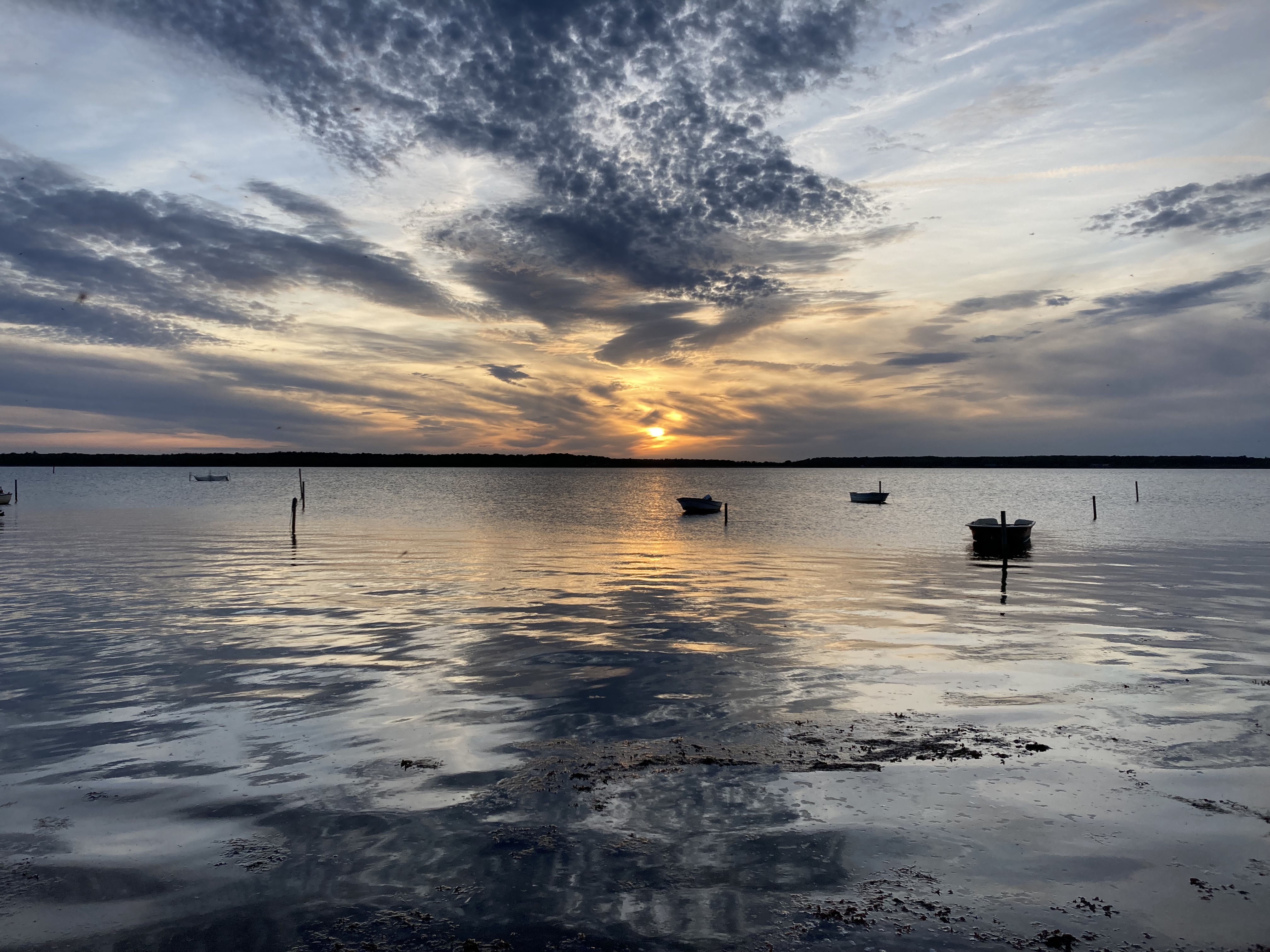
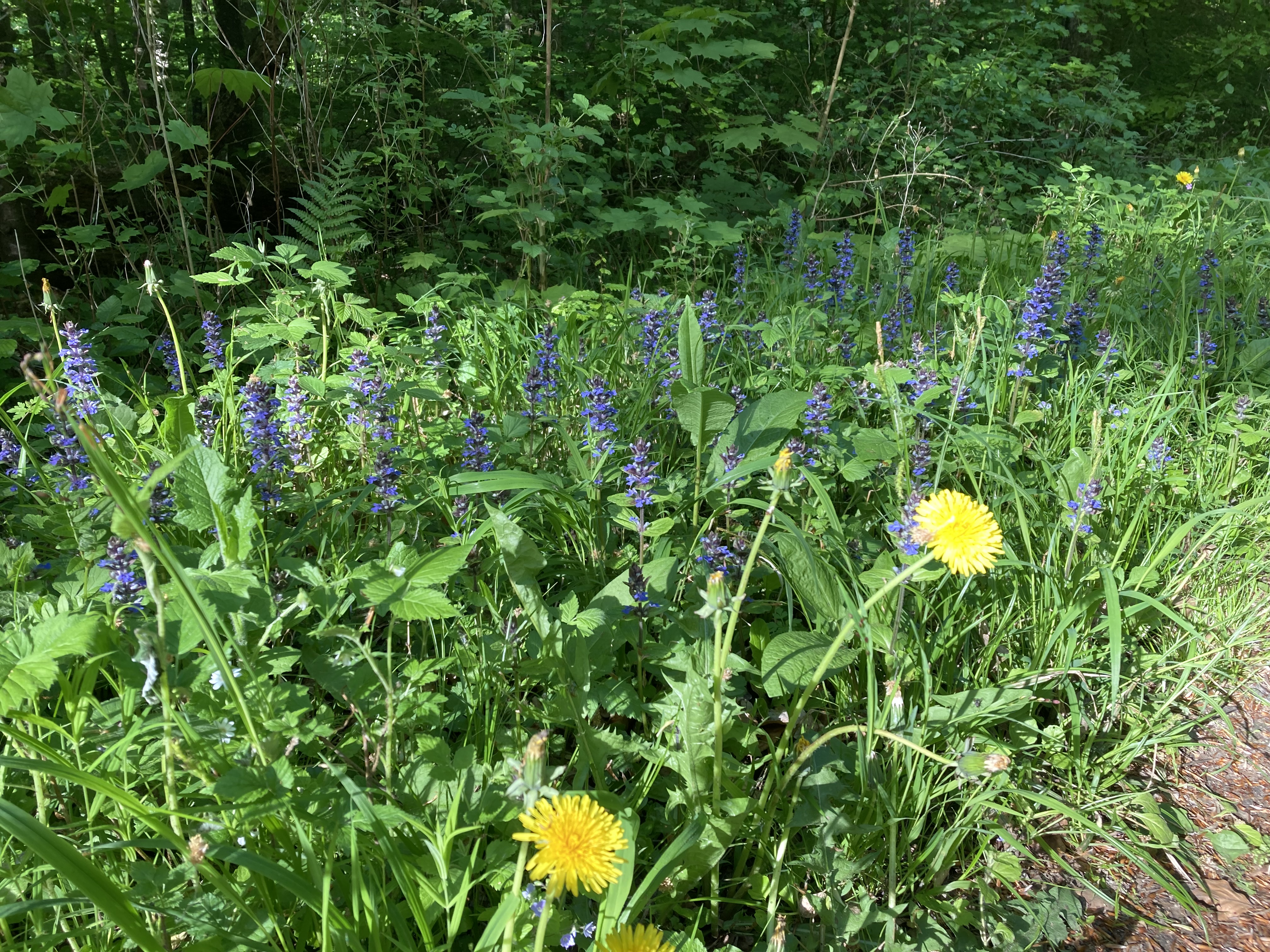
Anyway…here’s a few phone shots from day 3…

Maps & stats:

Day 1Day 2Day 3
Walking time:5:50 h6:58 h8 h
Distance:32 k 37,5 k42-43 k
Asc:73 m9 m29 m
Dsc:79 m9 m39 m
Average speed:5,2 km/h5,2 km/h5,1 km/h

Here’s a screenshot of my route. Check it out in more detail on my google map or strava (day 1, day 2 and day3)

Useful links:

Udinaturen.dk: Shows you a map of most shelters and places to pitch a tent in Denmark – great tool to plan your hike or bike trip in Denmark

Naturlandet.dk: More local to Lolland-Falster and you can choose English so probably more useful for foreigners. Find routes, book shelters etc.

MapOut: If you like hiking and biking off grid this is THE best value map tool that also integrates a lot of local routes. You can even create routes in the field and see the distance to your end destination. No subscription just a one time fee around 7 usd, absolute best value. Get it and you will thank me later! (and btw my 5 blog-likes haven’t gotten me any sponsorships yet so no affiliation. Maybe when I get to 10!)

Hope you enjoyed the read and found some useful stuff.

All the best,

David

Trip report: Bikepacking 2 days in North Zealand, Denmark

I was born and grew up in the area of North Zealand (Nordsjælland) which is an area just north of Copenhagen. I have always looked outside of Denmark for adventure since it’s very flat and has no wild nature, so i didn’t have much expectation other than to ride my bike, take some fall pictures and explore the area were i grew up. Usually when I set my expectations low I get positively surprised…

Now, there is no big wild nature here or anywhere in Denmark, so i set my expectation just for the ride itself and no crazy nature experiences. The first day i biked along the east coast straight from Østerbro in Copenhagen I stopped for lunch in Helsingør which is a beautiful and historic town. On the way along strandvejen the ride goes past some of the most expensive houses in Denmark. I more or less followed the northern part of the number 9 national bicycle route that goes from Gedser to Helsingør (https://www.visitdenmark.dk/danmark/oplevelser/cykelferie/danmarks-11-nationale-cykelruter). There are small hubs of forest on the way so it’s possible to do some detours (especially “Dyrehaven” if you want to see some big red deer) but i just stayed on the road to not distract my mind with on-the-go route planning. I had a nice lunch in Helsingør and continued along bike route 47 “Nordkystruten” to Tisvildeleje (https://www.visitnordsjaelland.dk/nordsjaelland/det-sker/nordkystcykelstien-rute-47-gdk680396). The first part to Hornbæk is really nice going through a forest and lake area and from there to Tisvildeleje it’s basically one big summerhouse area. The beach in Hornbæk is really nice and I used to go there in summers with my friends but I also got excited about the area around Rågeleje and Tisvildeleje, it was quite hilly by danish standards.

In Tisvildeleje I did a pitstop in “Brød & Vin”. It’s a really good bakery that also serves wine and I decided to go to Asserbo shelter for the night. I biked through Tisvilde Hegn that serves as home base of the Red deer in Denmark (or at least in Sjælland). Unfortunately it was getting dark so I didn’t see them when I biked through the woods. There was one trying to invade the shelter but he took off quickly when he saw me. The shelter was great with plenty of room.

That more or less wrapped up day 1. The summerhouse towns are extremely lively in the summer but more mellow at this time in the fall which is I like. There are still plenty of good places to stop for coffee and food though.

Day 2 I went to Frederiksværk to eat breakfast at a bakery, from here the plan was to hit bike route 40 west towards Hundested and connect it south with route 2 towards Kulhuse and cross Roskilde Fjord. However I discovered that I made a big mistake…there was no bridge, and the ferry only sails in the summer, so I had to go all the way back to Frederiksværk and continue south along bike route 40 and connect it with route 2 in Frederikssund, a 20 k extra warm up. The 40 route turned out to be quite nice and pretty hilly. After connection with route 2 I ate lunch as soon as I hit the forest south of Buresø. Then just before Bastrup Sø I decided to go with the Buresø – Fiskebæk bike route (that I also discovered on Naviki, more info: https://www.furesoe.dk/oplevelser/brug-naturen/cykelruter/#moelleaadalen-2:-fiskebaek-til-lyngby). This route actually went through my old hood around Farum and was the highlight of the trip for me. There is quite a lot of singletrack on this route, so my road tires didn’t do very well but I managed without falling. A really nice stretch. Then from Farum i followed bike route 2 again along the freeway into Copenhagen. Originally i wanted to bike north of Furesøen through “Vaserne” to Holte which is a really nice stretch but that will be next time…

Day 1Day 2
Time on bike:3:57 h4:18 h
Distance:87 k84 k
Asc:315 m 347 m
Dsc:333 m350 m
Average speed:22 km/h19,6 km/h
Approx. Road/Gravel %:85/1565/35

My route

https://www.google.com/maps/d/u/0/edit?mid=1e5UmQ0JPMTcSQWIZNynYHrtBdf4o28E4&usp=sharing

Route planning tips

  • Naviki is an awesome free app that I use both for planning and on the road. I could even see the route number on the map in the app. It automatically gives you the best routes for biking. Highly recommend !
  • I also used this: https://trafikkort.vejdirektoratet.dk/index.html?usertype=3 where you can plot the 11 big bike routes in Denmark. Makes for an easy overview if you want to connect them. Fx i connected 9 and 2 with the smaller 47 “Nordkystruten” that i got from Naviki. I also connected bike route 40 so the whole route went: 9, 47, 40, 2, Buresø – Fiskebæk (BF) and 2 again. Route 47, 40 and BF I both discovered in Naviki on the road.

Norway trip 2021

I spend the last 3 weeks in Jotunheimen and Breheimen with my family. Although it was a family trip i manage to do a lot of hiking (including a 3-day solo trip in Breheimen) and photography practicing. My family and I rented a cabin for 2 weeks in the valley between the two national parks and on the way there and back from Denmark we were camping. This time of year is just amazing with all the fall colors coming alive and snow starting to fall on the high peaks. I had many great moments hiking and photographing in these mountains. Also it was the last trip I had with my dog Rocko before he passed away. He was 14,5 years old when we said goodbye and he kept his young, playful and adventurous spirit to the very end. Writing these words now is a good reminder for me to do the same.

In the 16 days we were there i did 12 of them hiking and backpacking, here are the total numbers:

Days hiking or backpacking: 12

Total time: 39:37 h

Total distance: 128,8 km

Total asc: 5967 m

Total dsc: 6188 m

Here are some of my favorite photos from the trip, you can see text and trip details in photo description by clicking on the photo.

Trip report: 3 days alone in Breheimen, Norway

When i go to google maps to see reviews of Breheimen National Park there are none, so i figured it would be a good place for me to explore. I am familiar with Breheimen from other trips and it has been on my list to explore for a couple years now. It is located just west of the more famous Jotunheimen National Park which gets a lot of visitors. Breheimen is a recent national park established in 2009 and is one of the most diverse places in Norway with big glaciers, mountains and lush valleys. It was formed by glaciers and landslides and it really shows when you experience this otherworldly amazing place.

I just did the trip in mid september which is the perfect time to experience all the fall colors. The beauty of the place in this time is just out of this world. The huts had just closed so I did’t meet any people in the 3 days. I got the feeling of being insignificant completely on natures terms, it is very humbling but also a big confidence boost to go through something that I was nervous about beforehand. I knew i was alone out there if something happened.

I’m in Norway for a while with my son and wife, so they followed me a couple kilometres up the trail from Bøvertun to send me off. At this time there are blueberries all over the place and my son Kai found out quickly. It was a great moment seeing him sitting on top of a mountain 9 months old and picking blueberries straight from the source.

The weather in this area is all over the place. In generel Breheimen is a very wet place, but i was lucky with very sunny weather the first day. Day 2 and 3 were more cloudy and a bit of rain but still good.

When you prepare for a hike in Norway you always have to expect the worst. I was extremely happy with my minimal packing for this trip, i brought only the layers i needed plus a dry set of socks, t-shirt and underwear and i packed a minimum of food and gas. I figured if i ran out of gas i just had to eat the pasta with cold water and a bit of extra crunch. For breakfast i brought oatmeal that i ate with cold water to save gas and time – it was actually good.

If you have any questions about the trail or area feel free to ask in the comments.

Below are the numbers, pictures and maps:

Day 1, Bøvertun – Nørdstedalseter hut

Time: 6:56 h (slow pace)

Distance: 18 km

Asc: 1031 m

Dsc: 995 m

Day 2, Nørdstedalseter hut – Trulsbu hut

Time: 4:37 h (decent pace)

Distance: 15,5 km

Asc: 532 m

Dsc: 227 m

Day 3, Trulsbu hut – Lundadalen parking (through Lundadalen)

Time: 6:03 h (good pace)

Distance: 21,6 km

Asc: 159 m

Dsc: 677 m

Route map

https://www.google.com/maps/@61.7337553,7.8278262,10z/data=!3m1!4b1!4m2!6m1!1s1cdPresgCgNyAfimDCLnjV6Z3PKhj0l7o