This post is a quick trip highlight reel of my 2025 in chronological order. I will include Strava links if anyone is getting inspired to go for it!
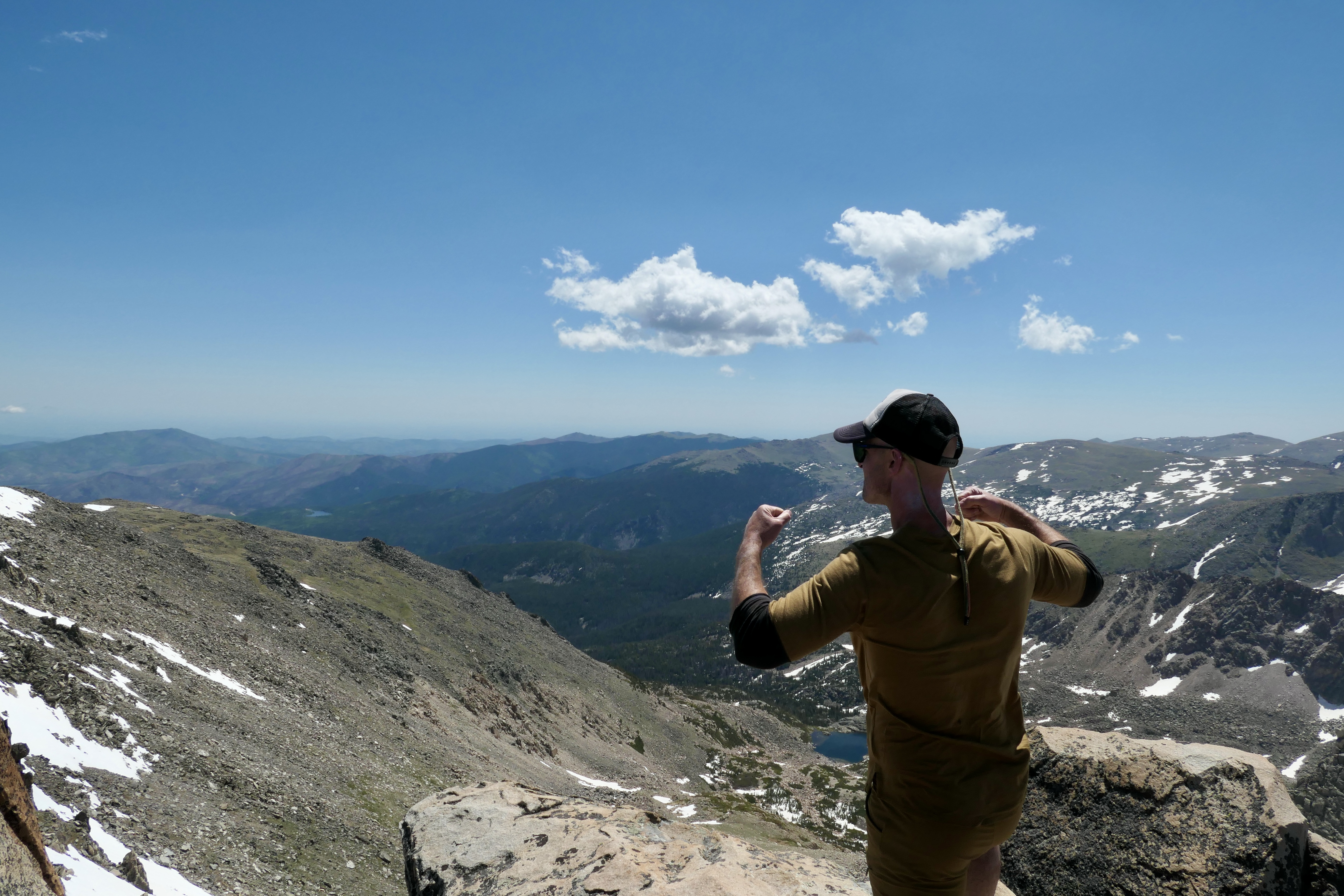
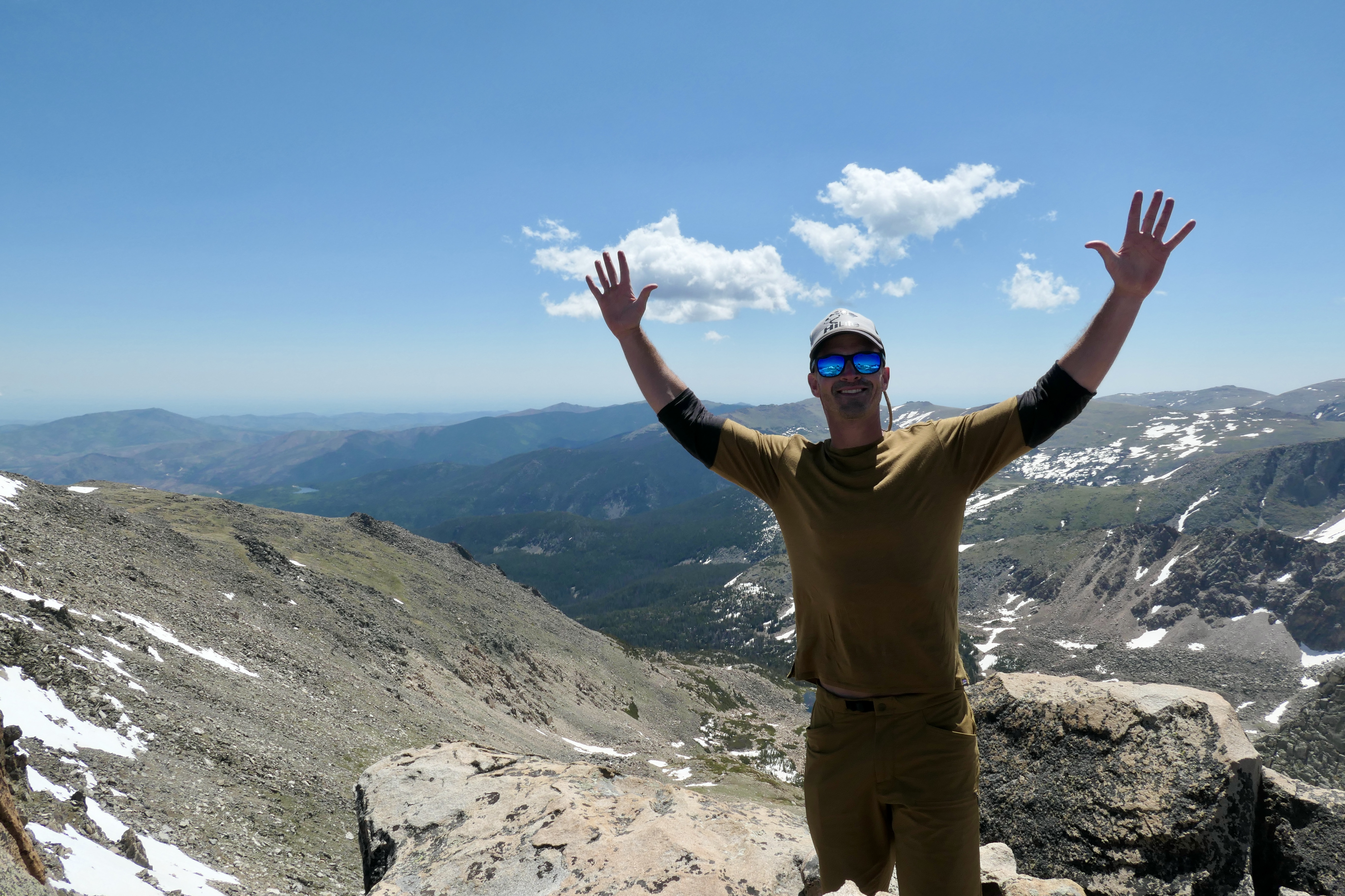
50k mountain run
This one has to be mentioned since it was a great milestone for me personally. Awesome experience! Original post here.
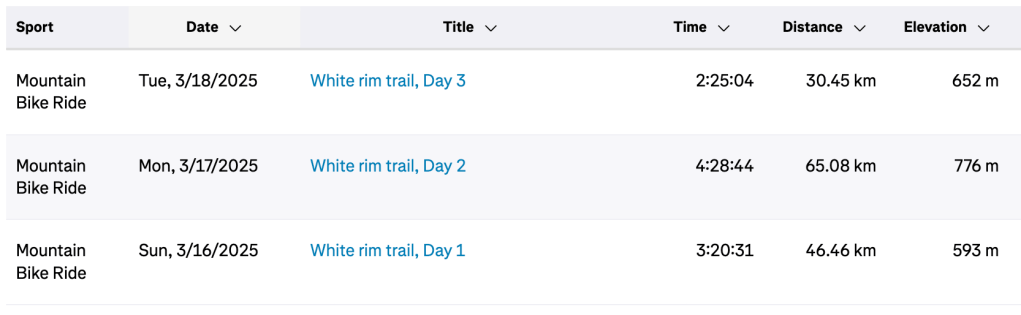
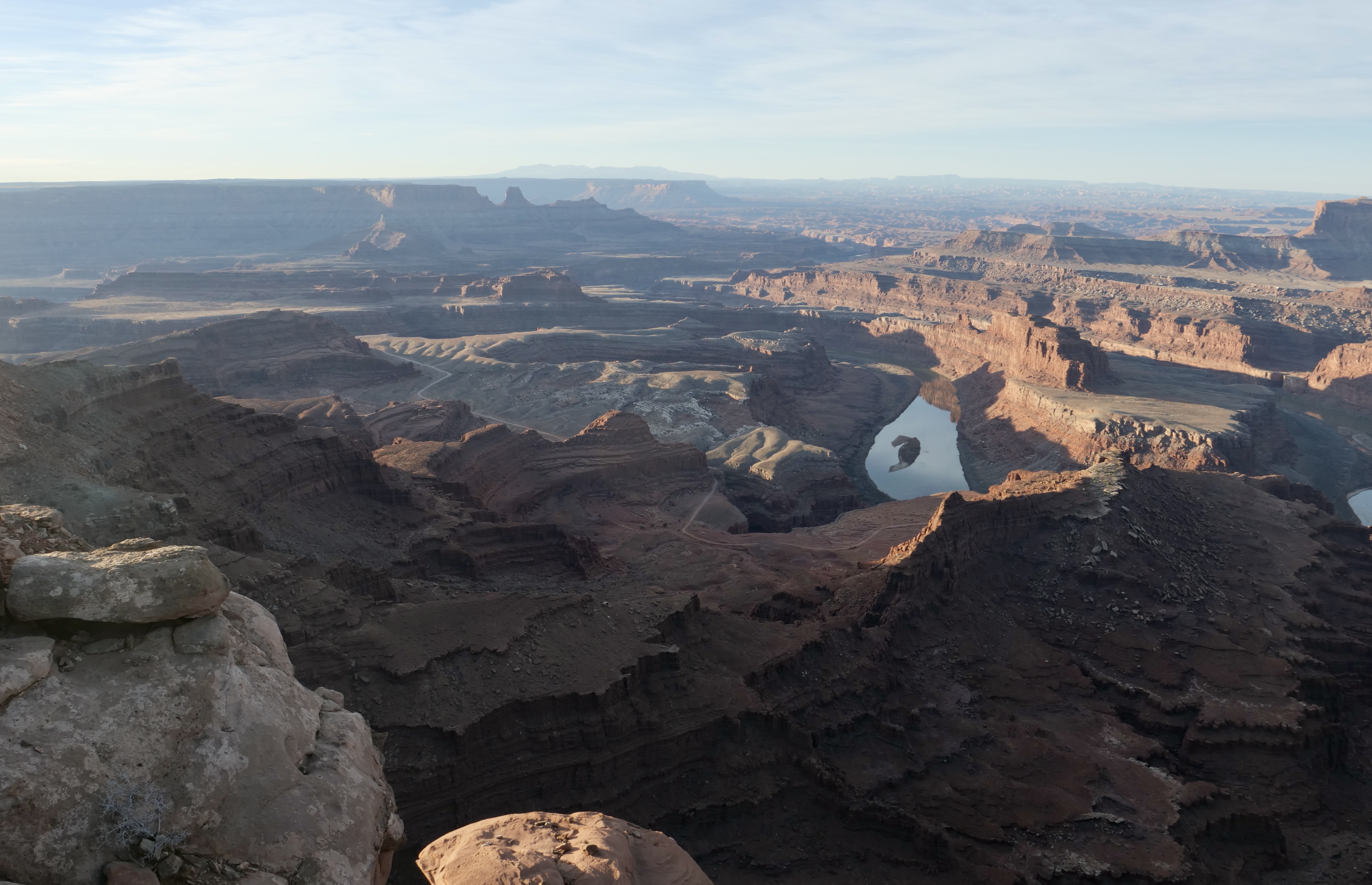
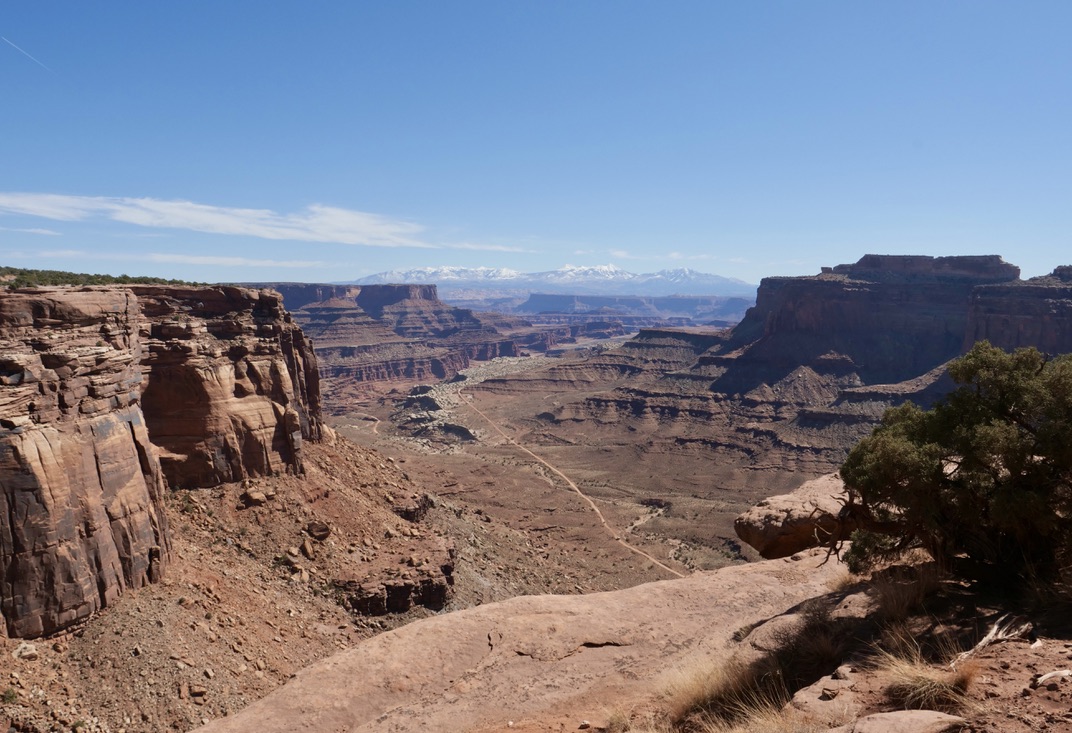
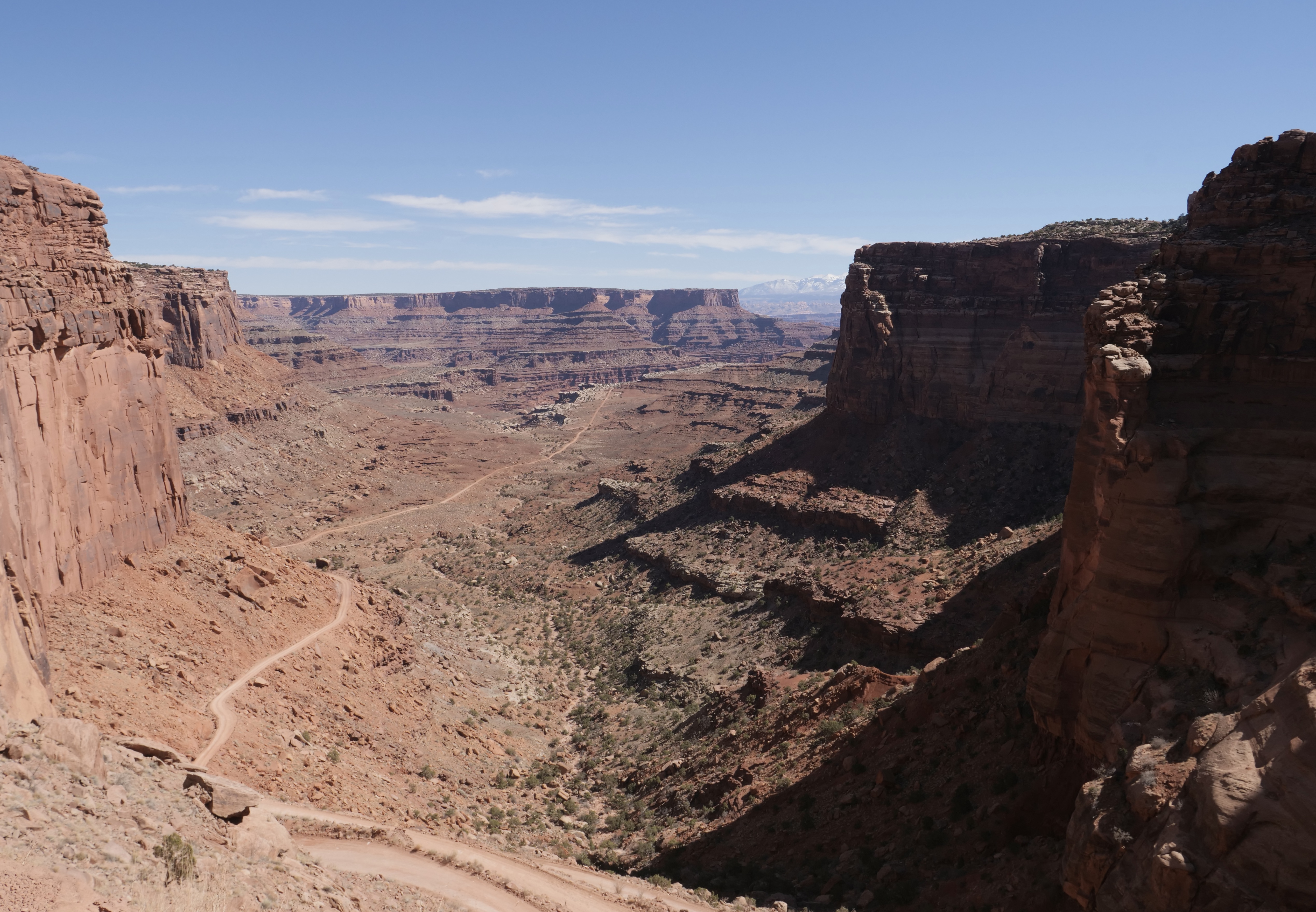
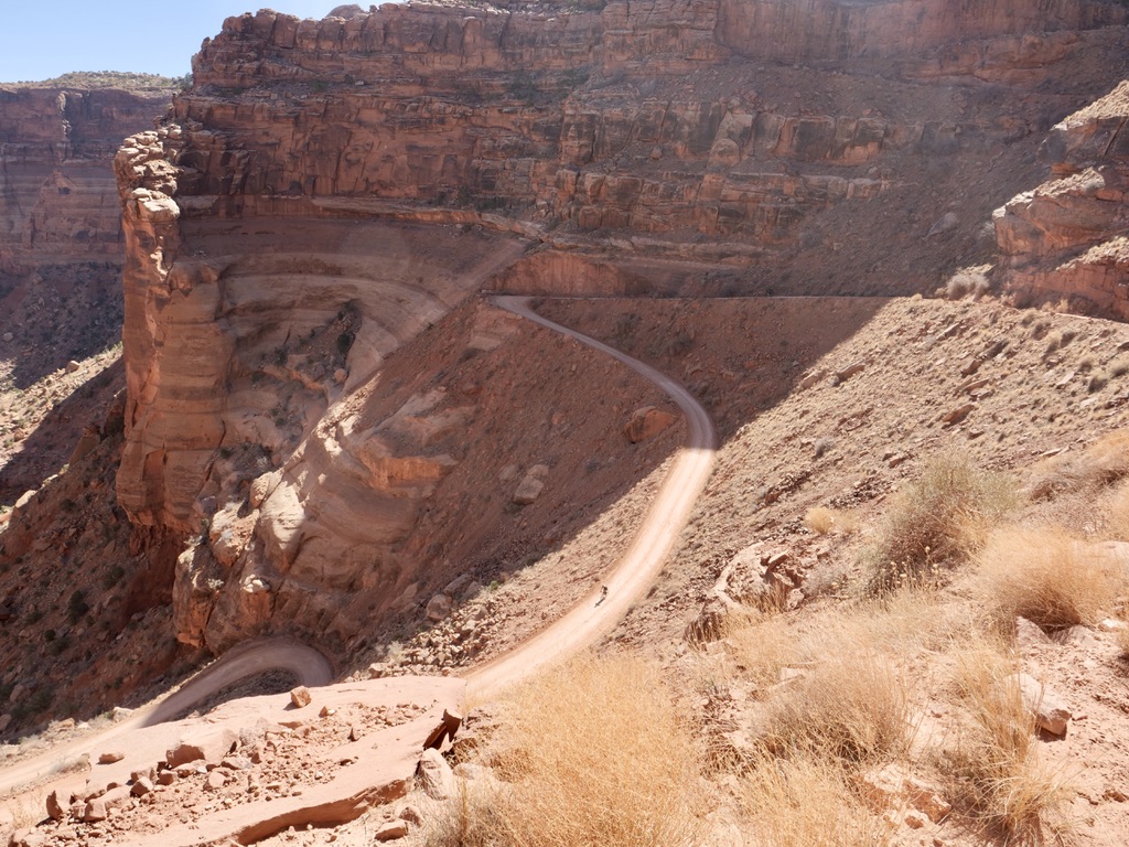
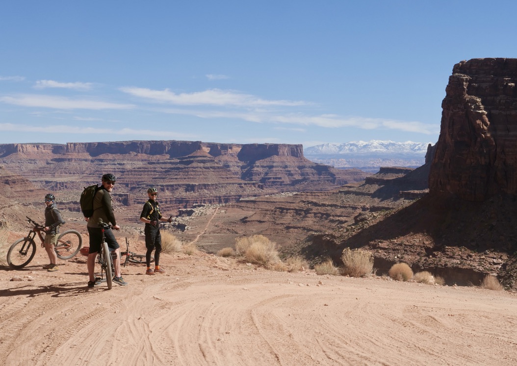
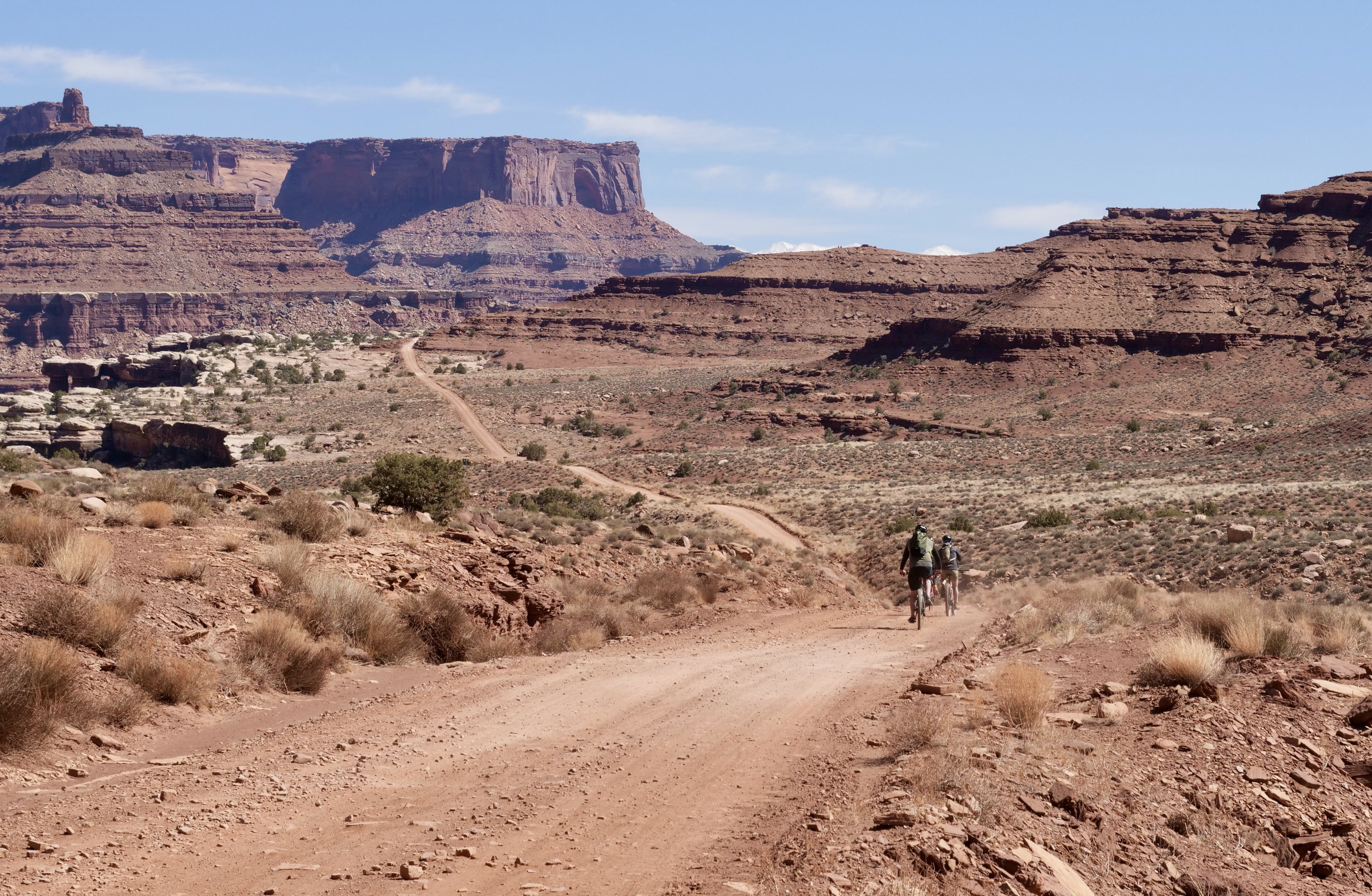
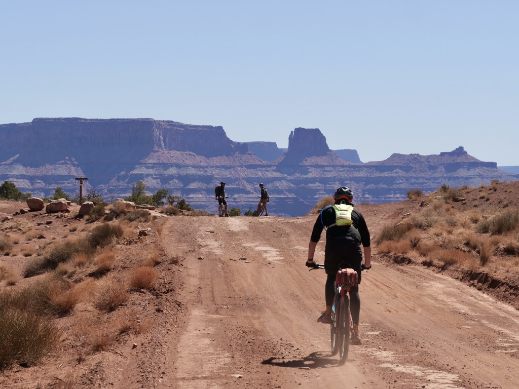
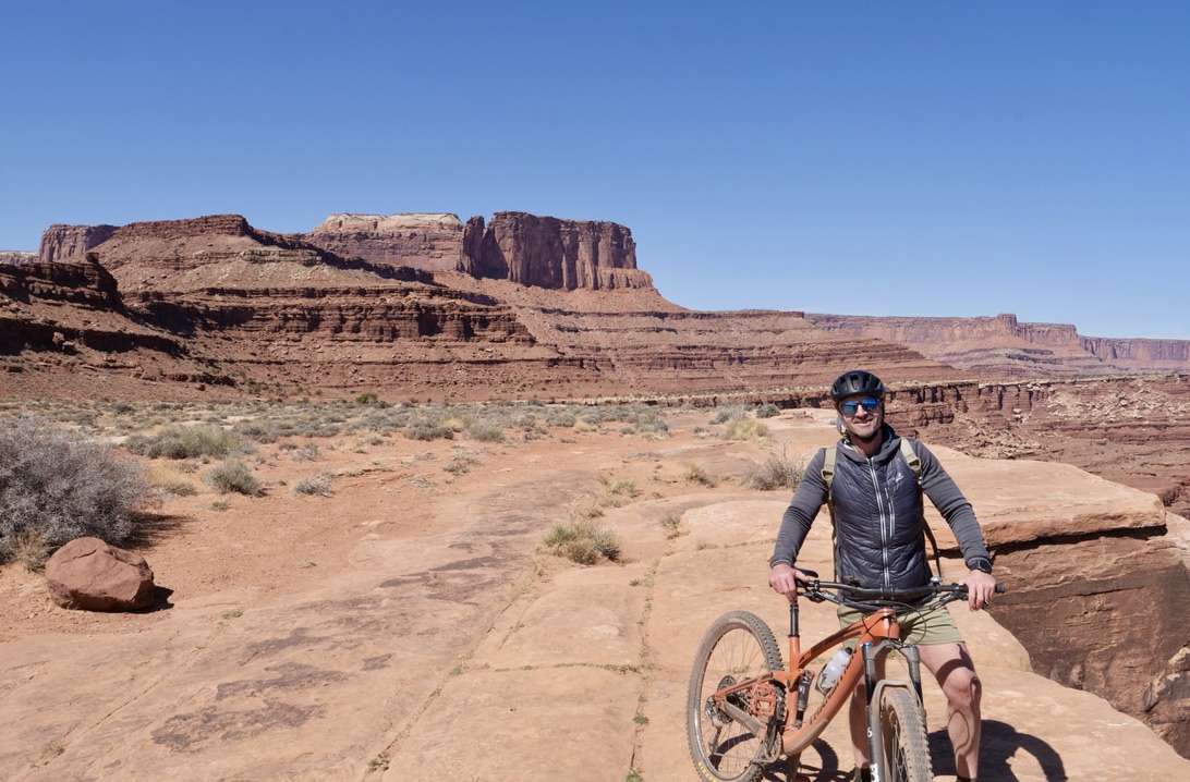
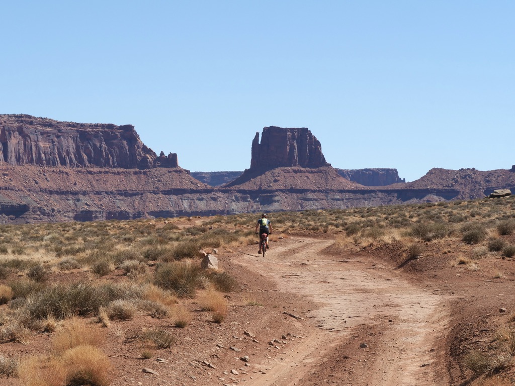
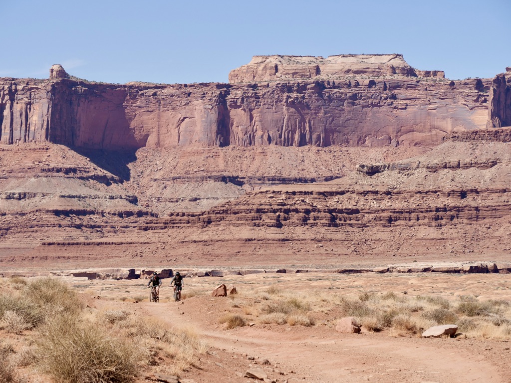
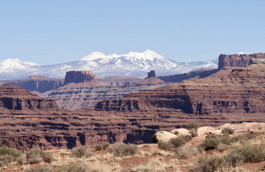
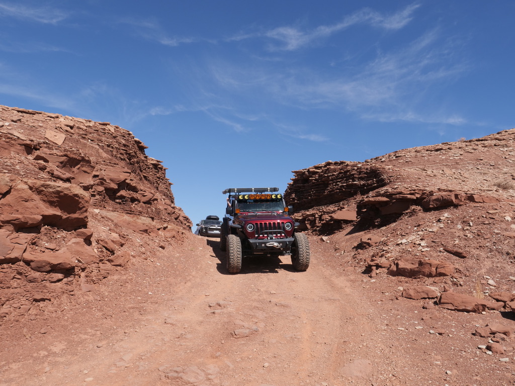
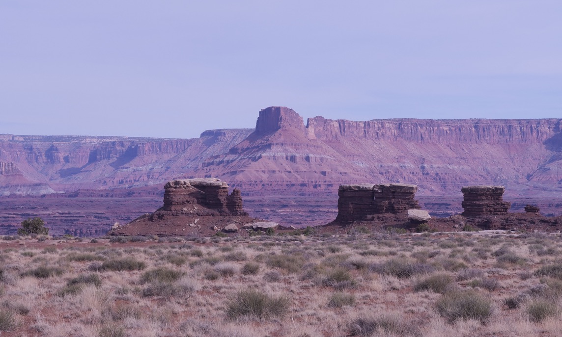
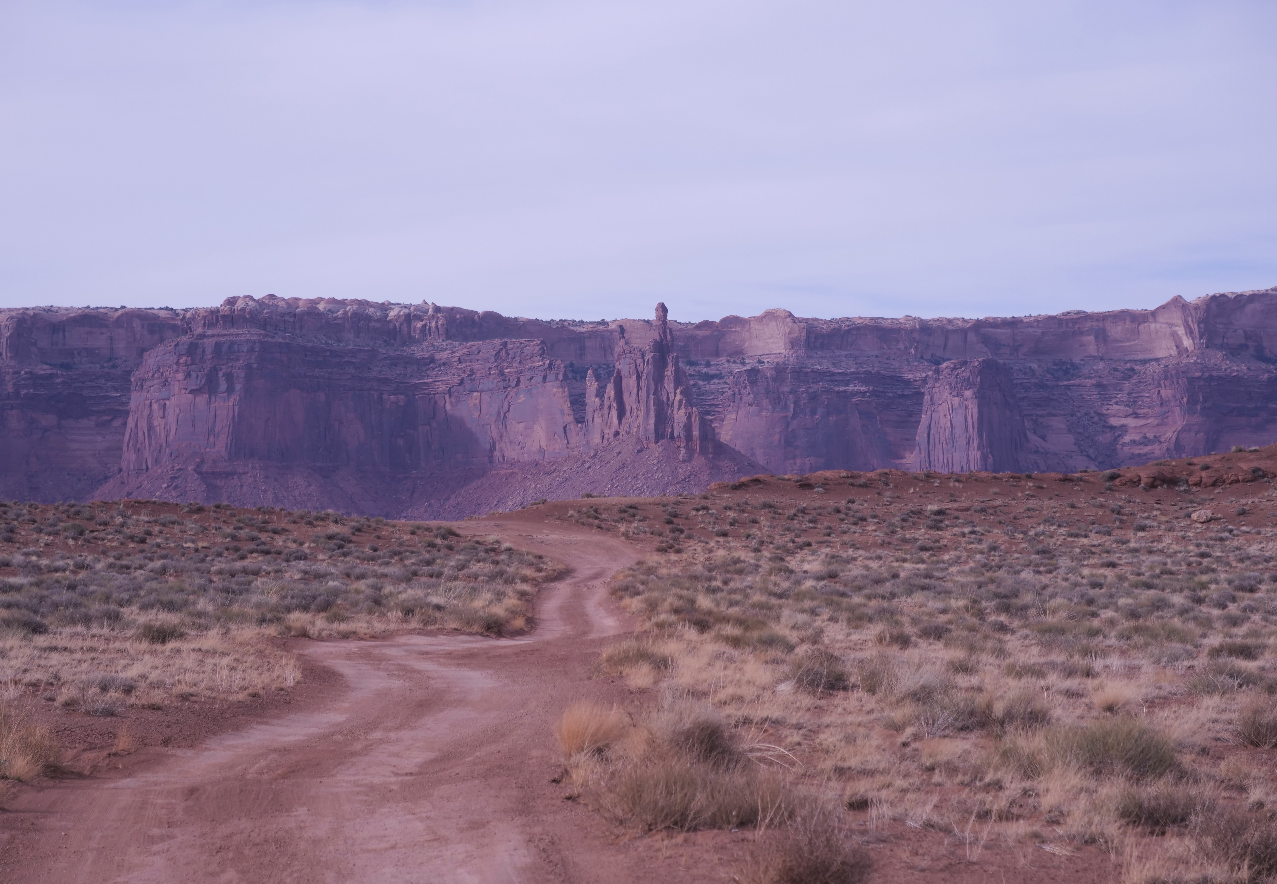
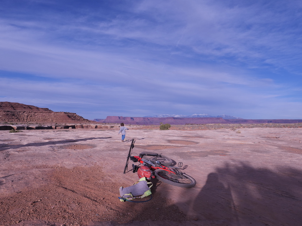
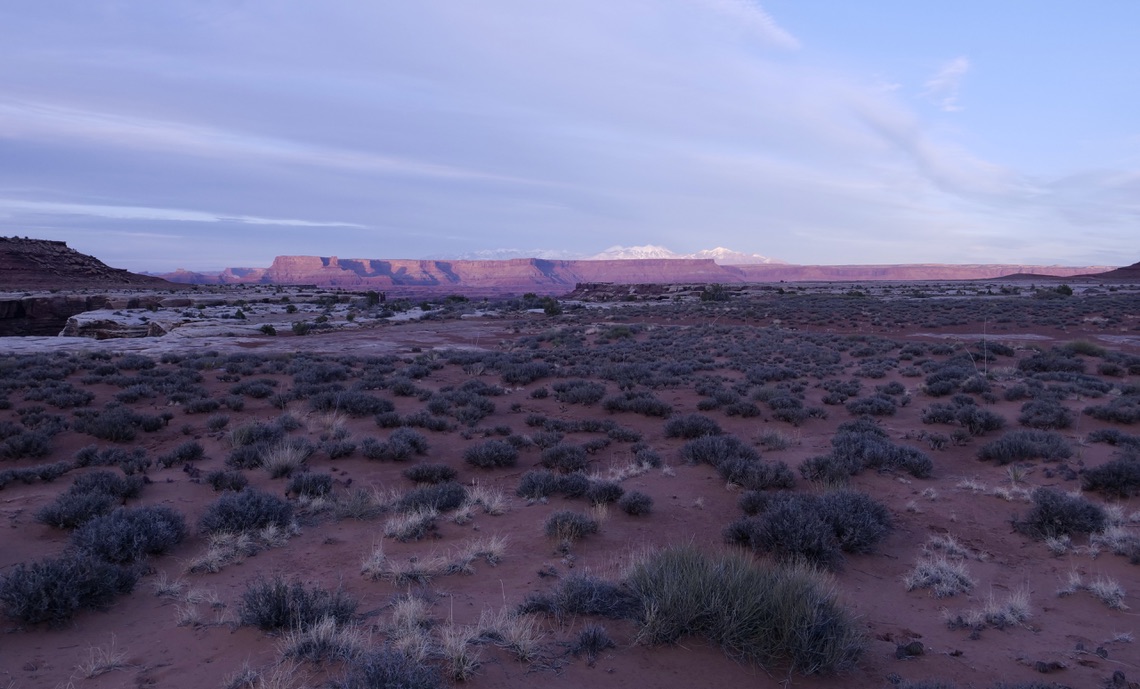
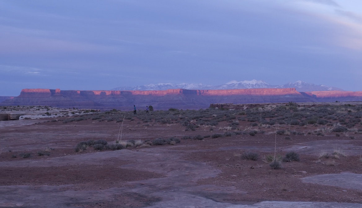
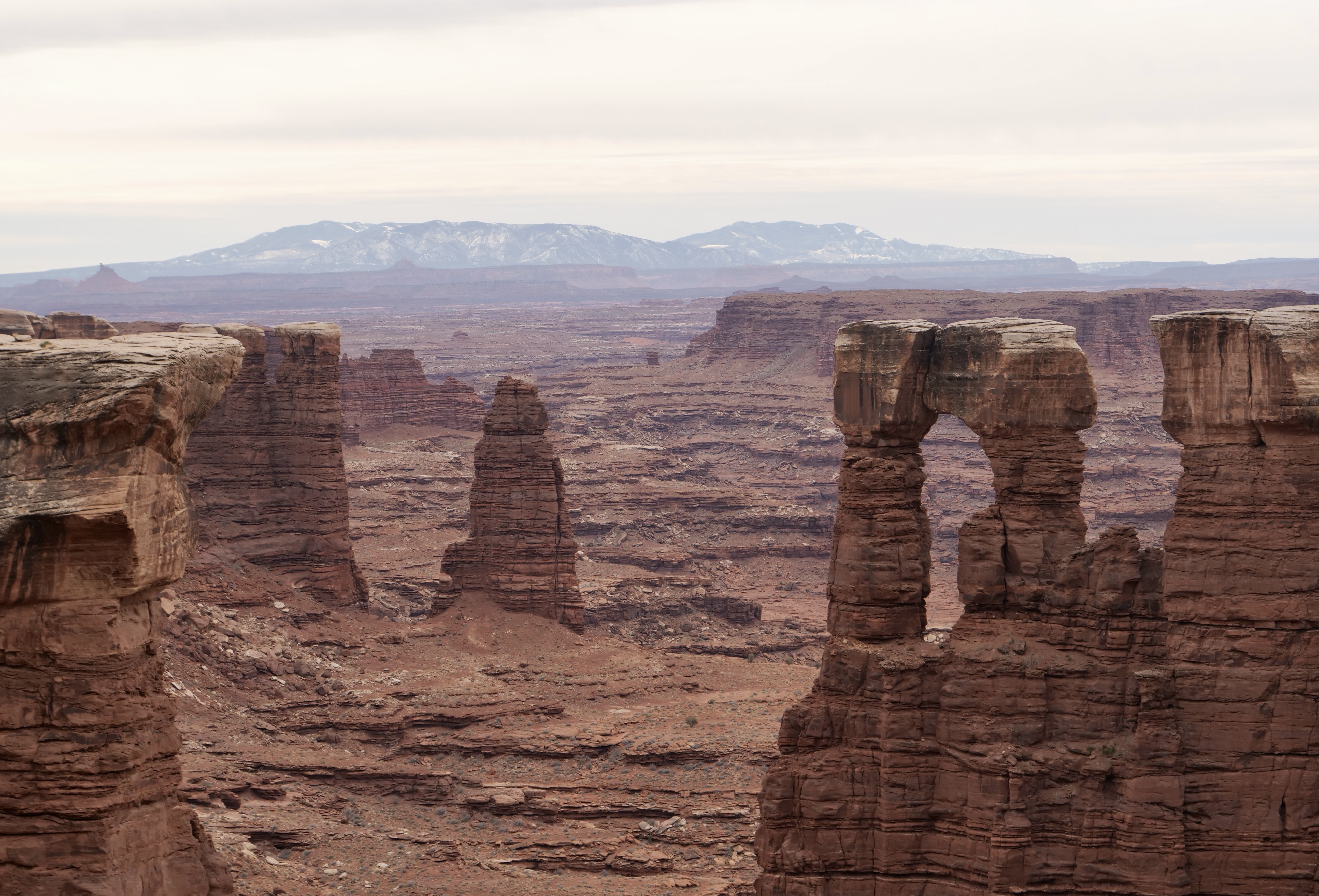
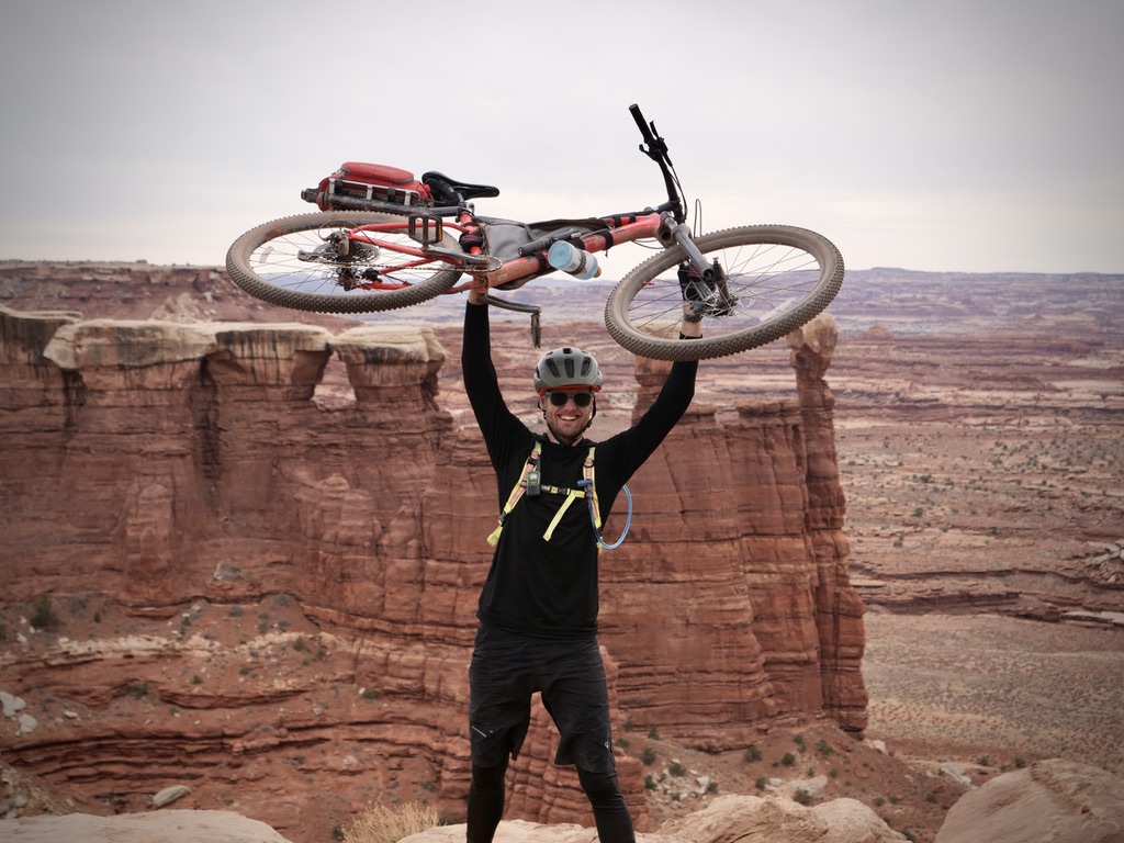
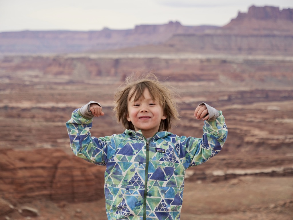
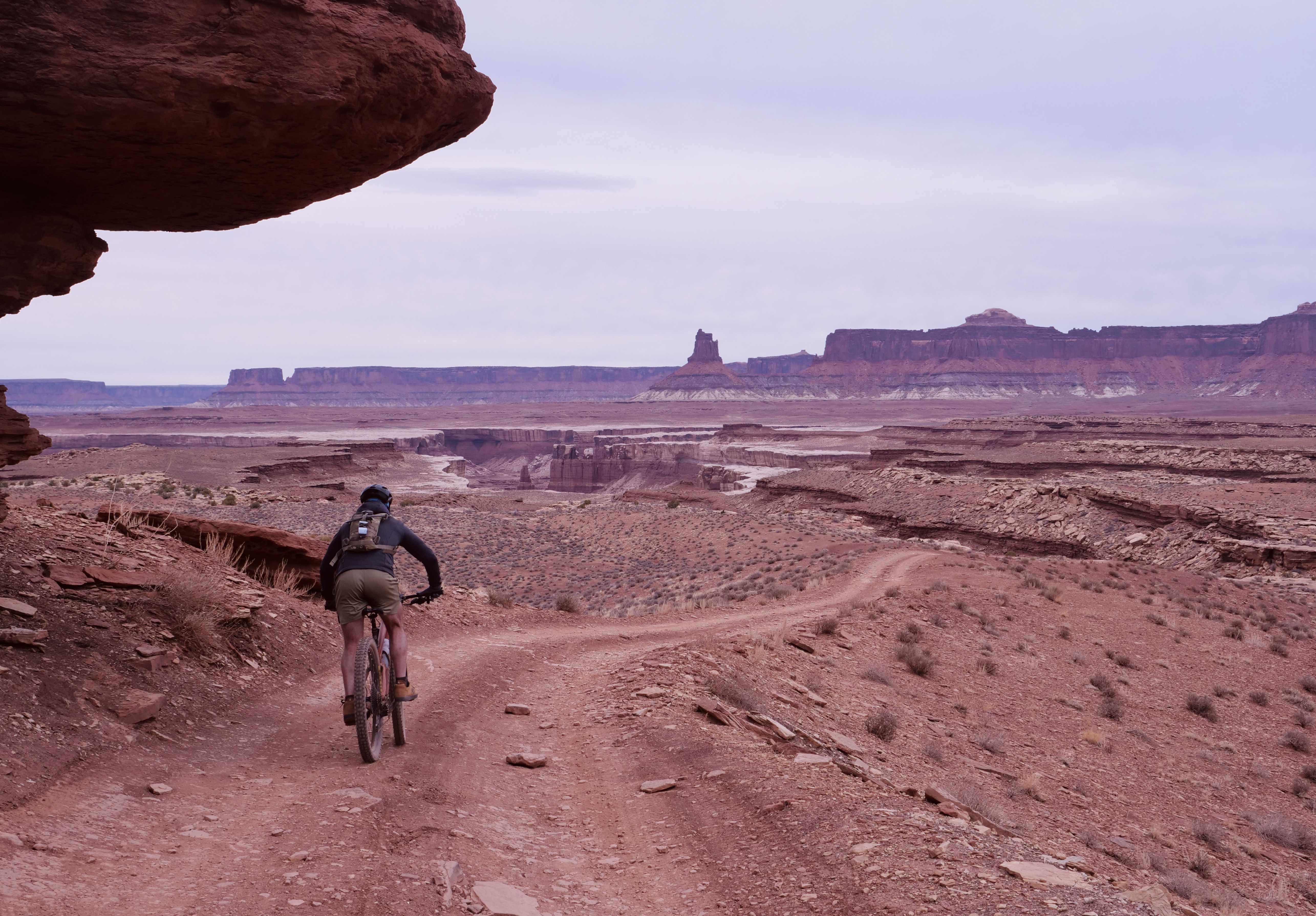
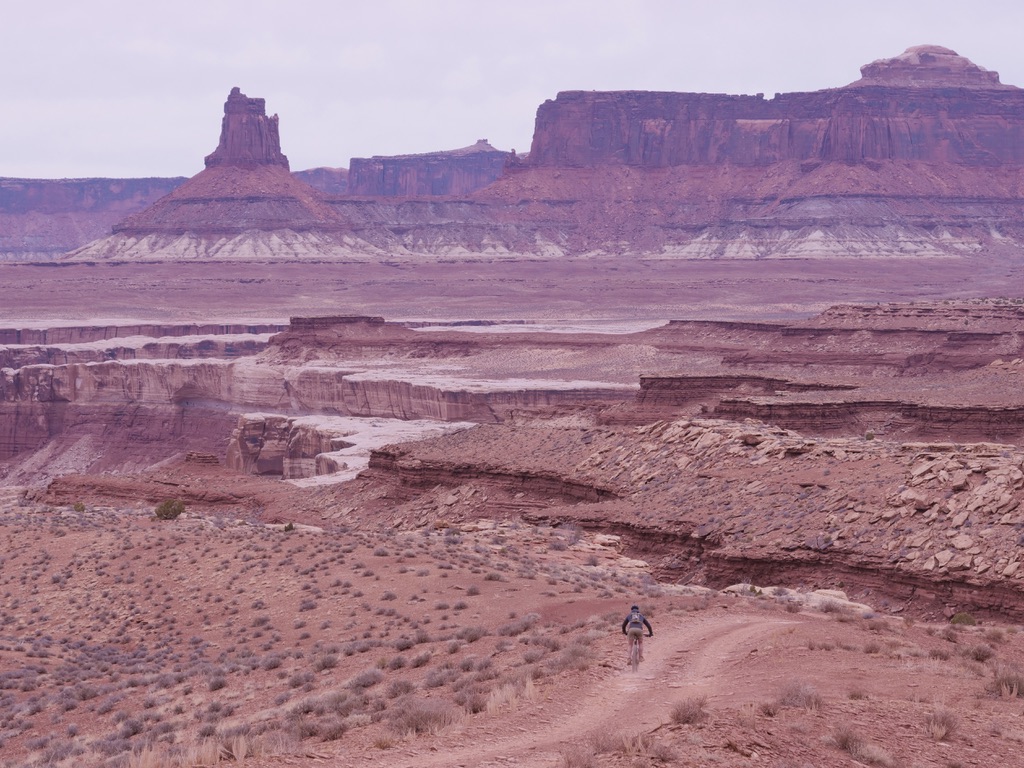
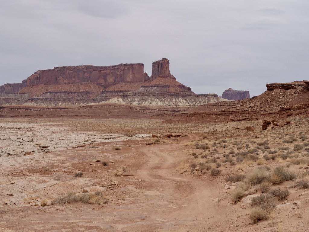
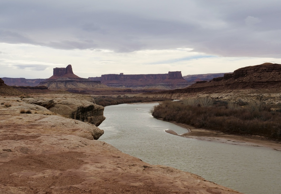
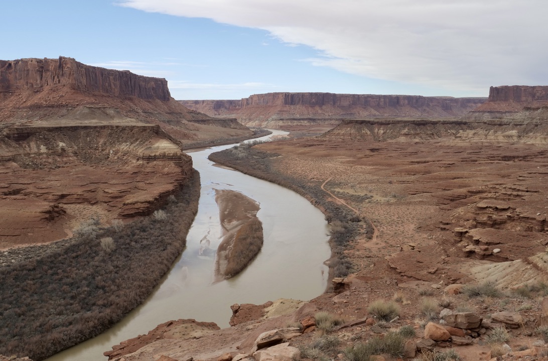
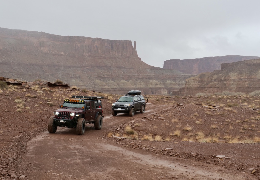
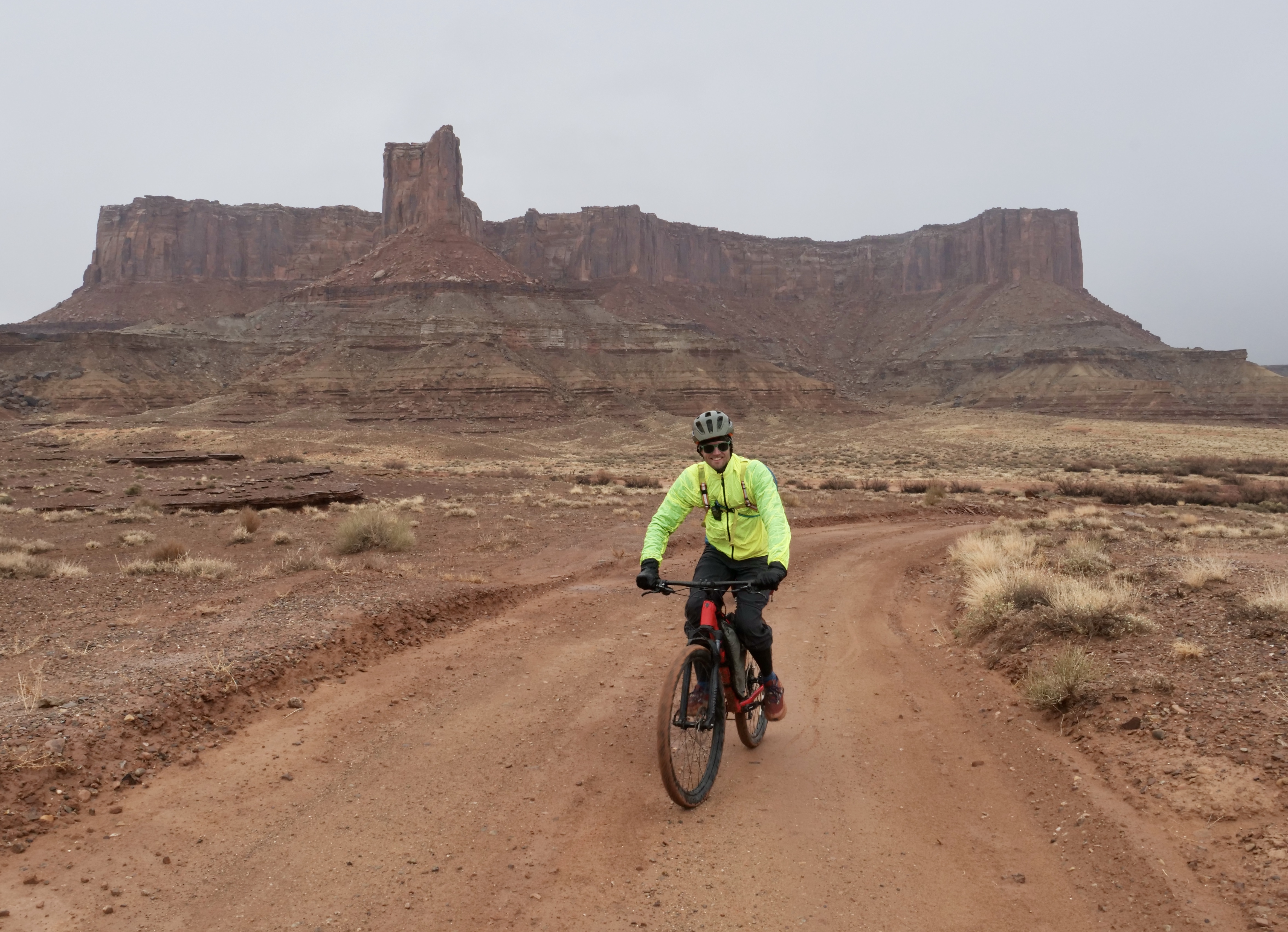
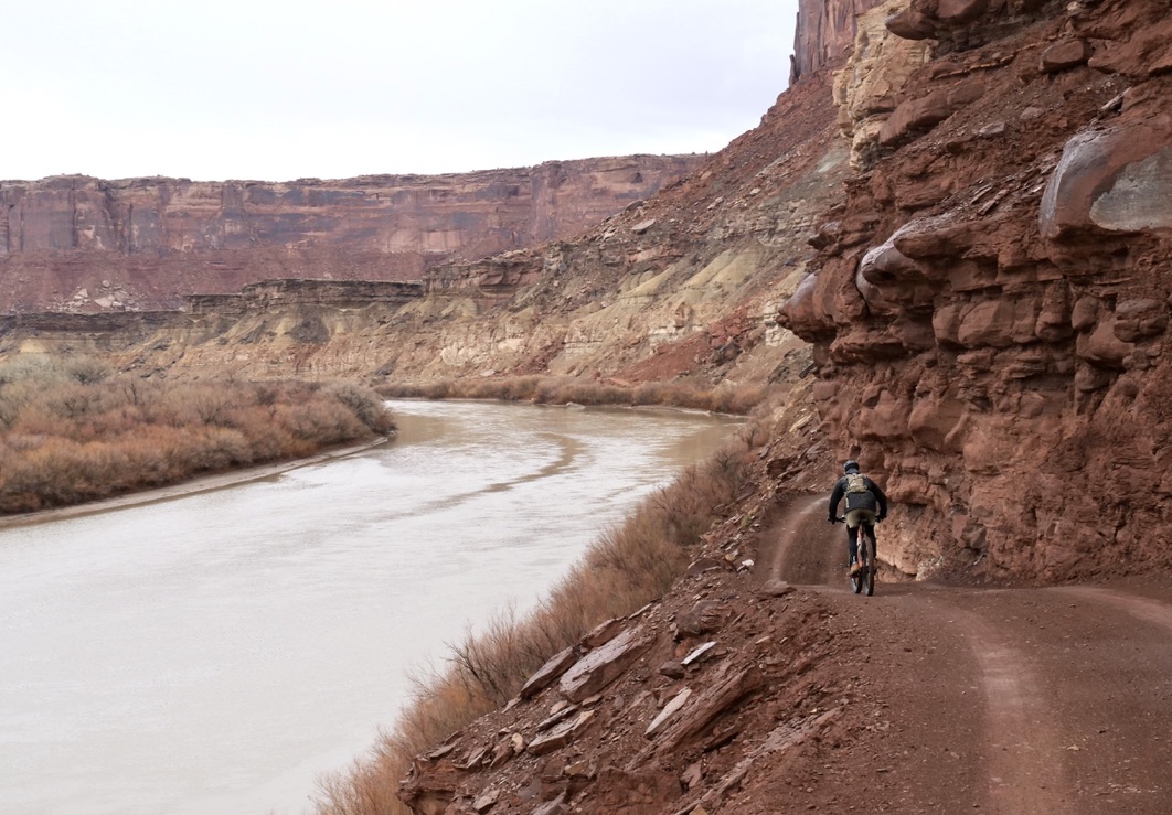
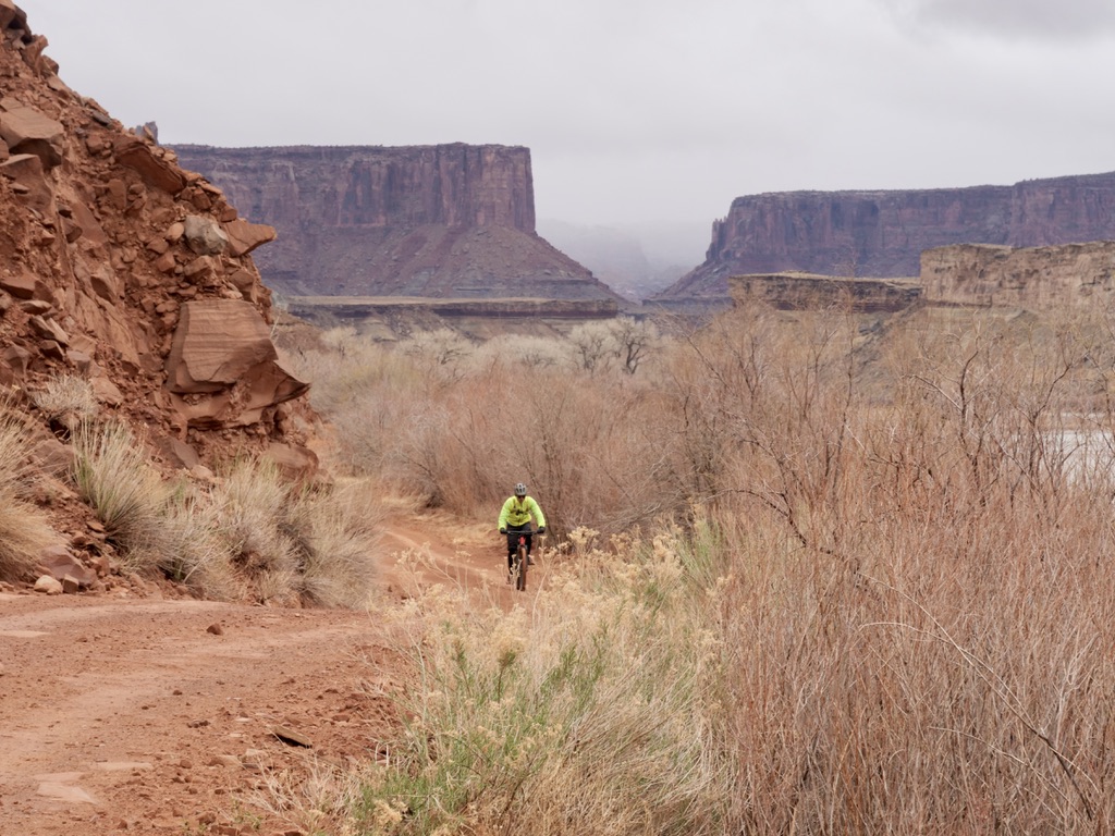
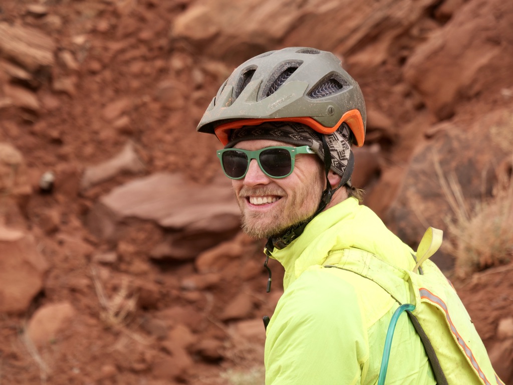
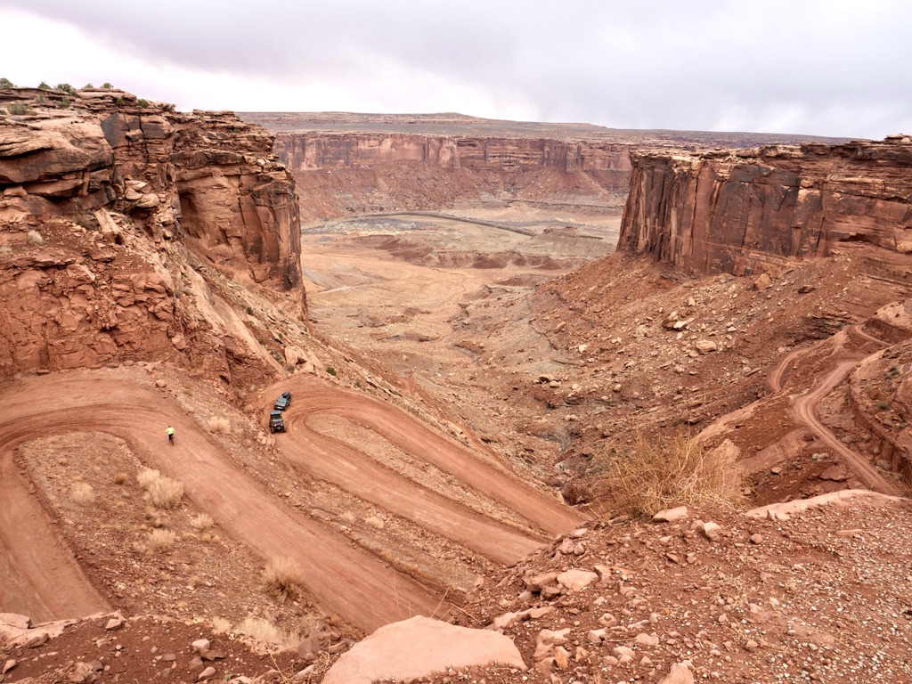
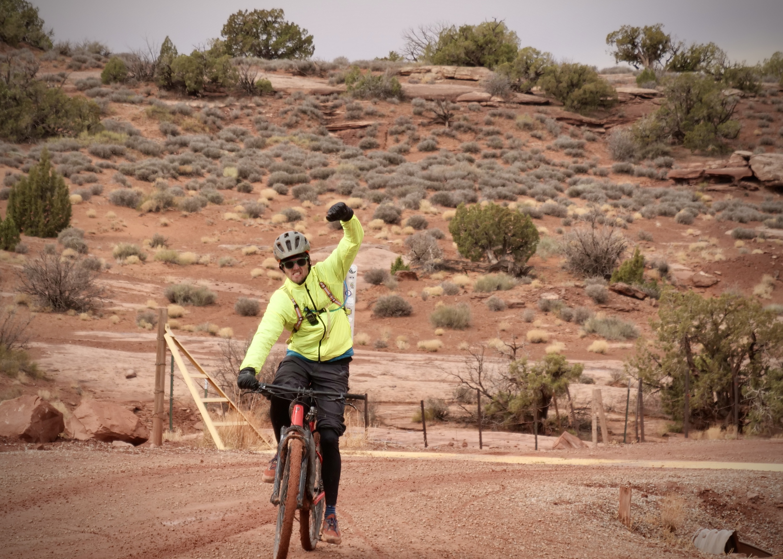
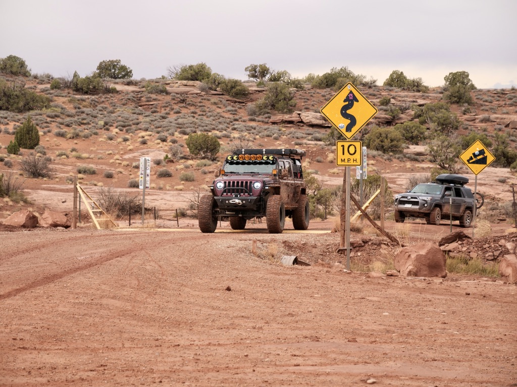
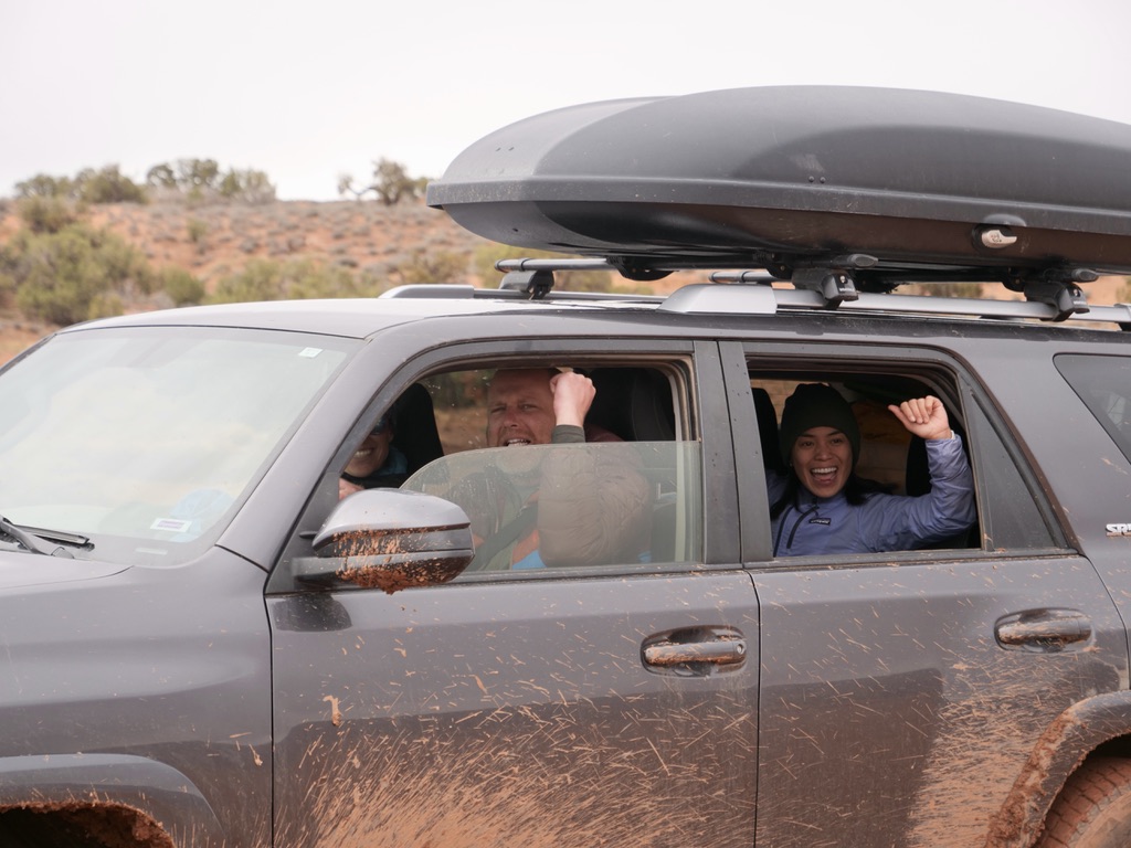
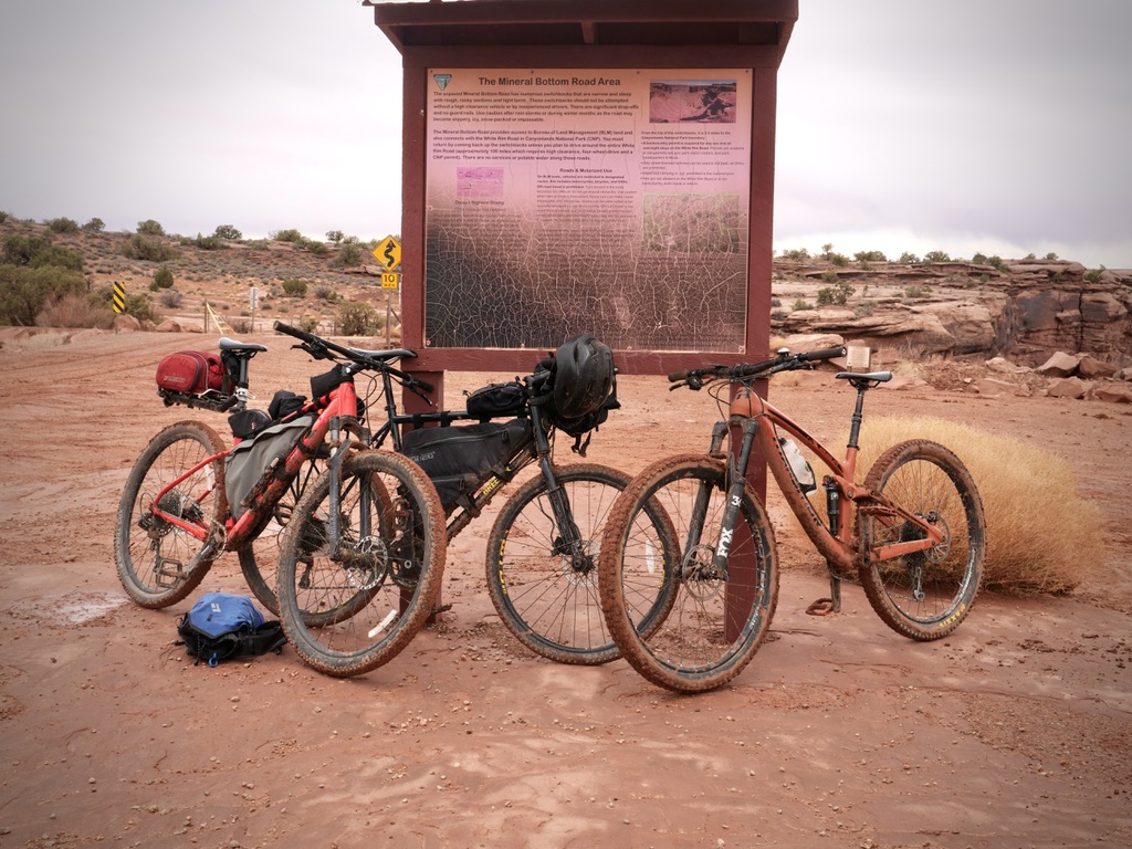
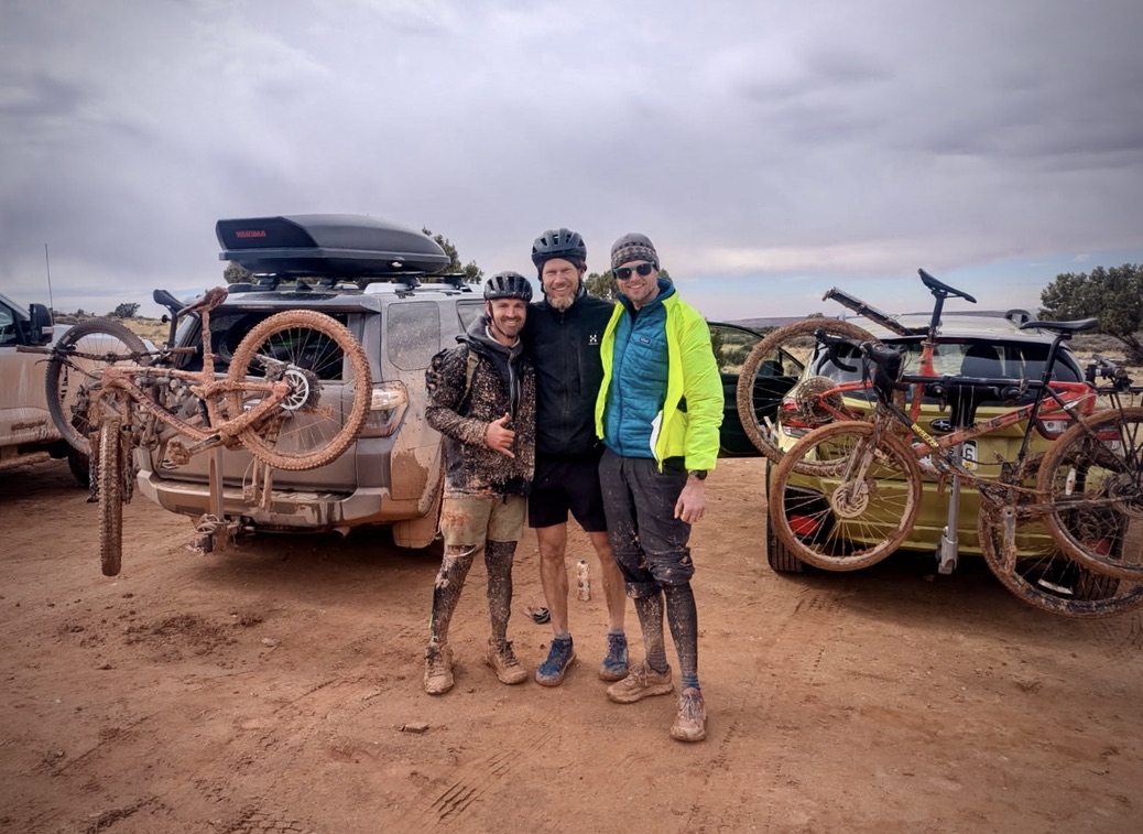
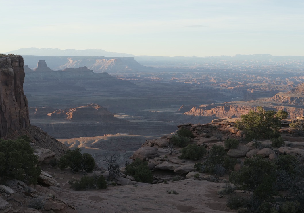
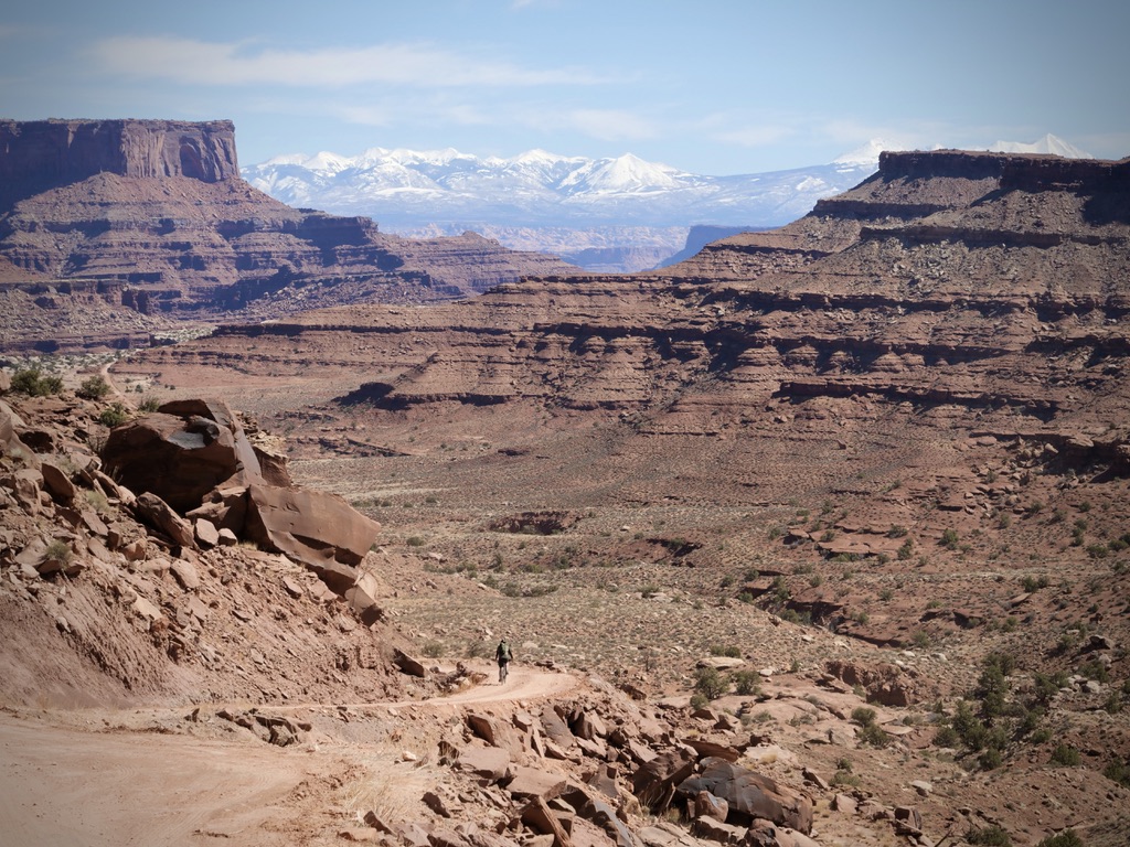
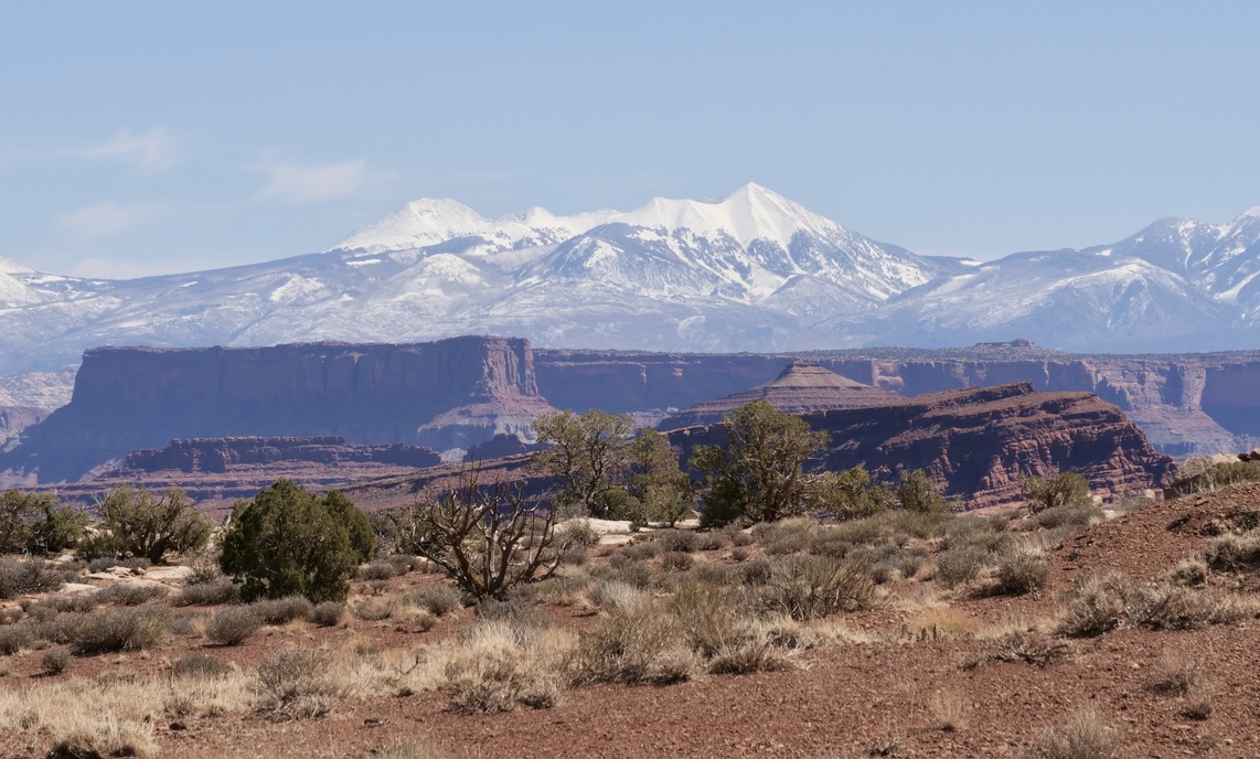
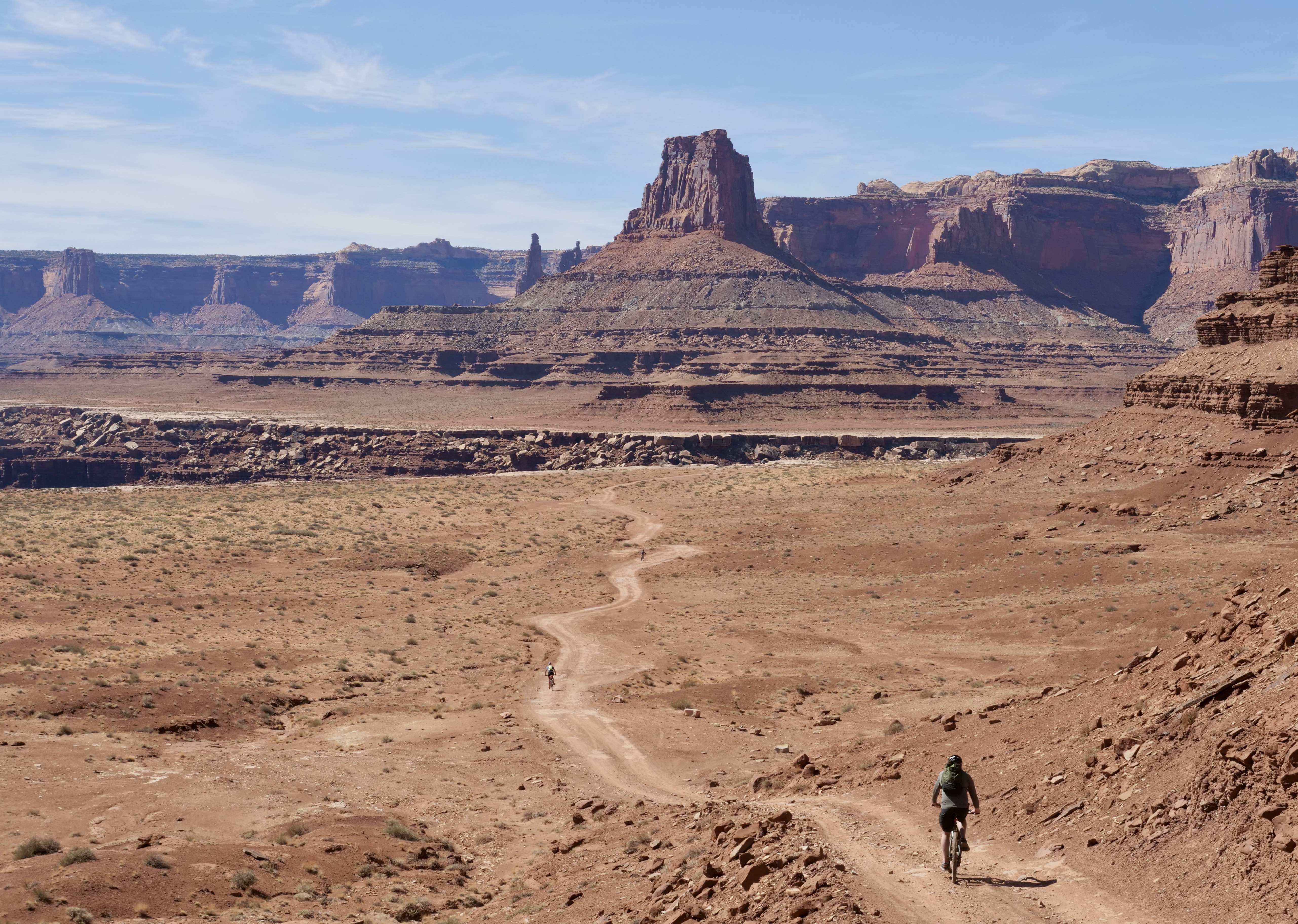
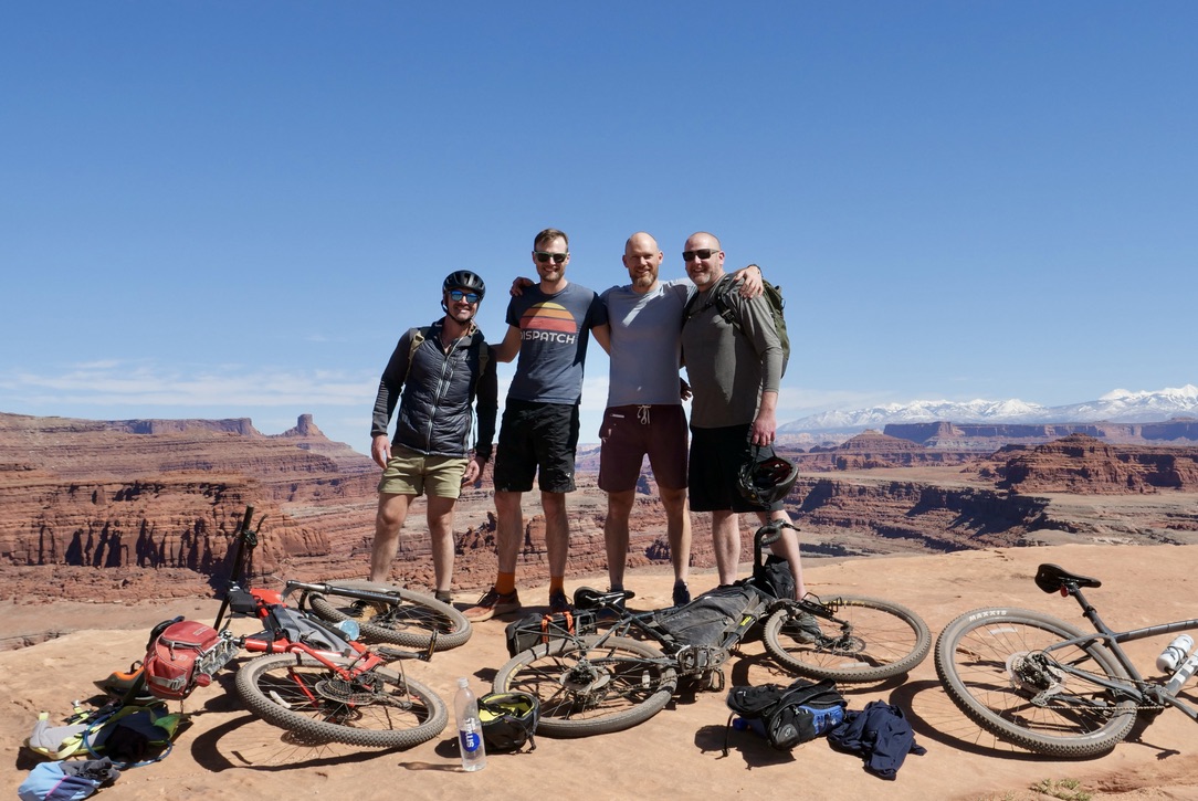
Biking the White Rim Trail in Utah, Canyonlands National Park
This was just such an amazing experience with my family and best friends from Colorado. It’s hard for me to imaging that biking can get more fun than this! Original post here.
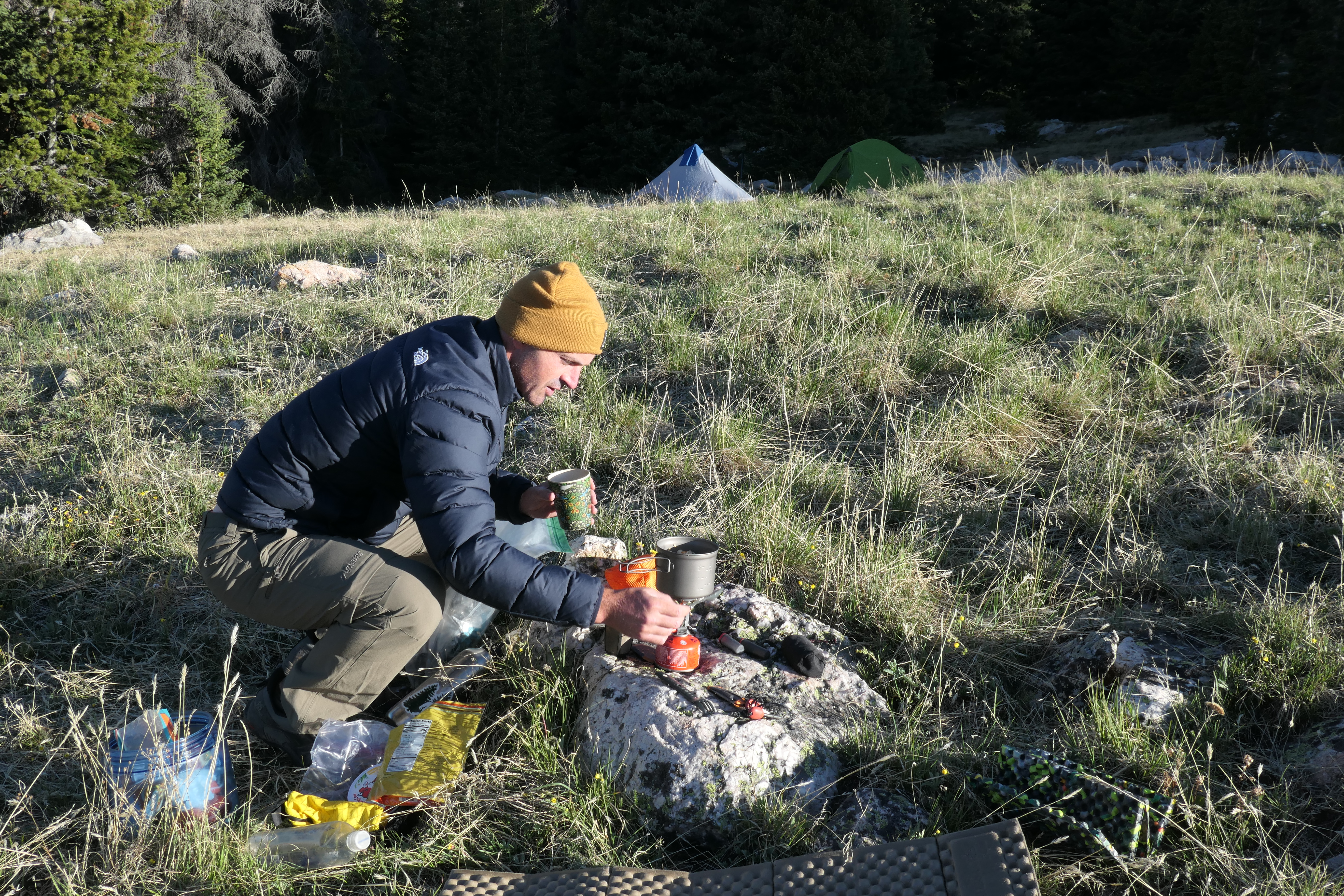
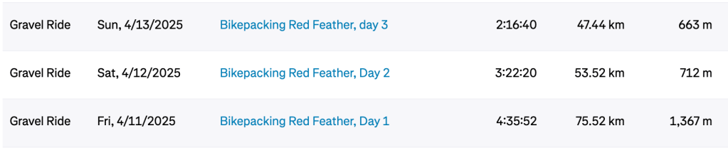
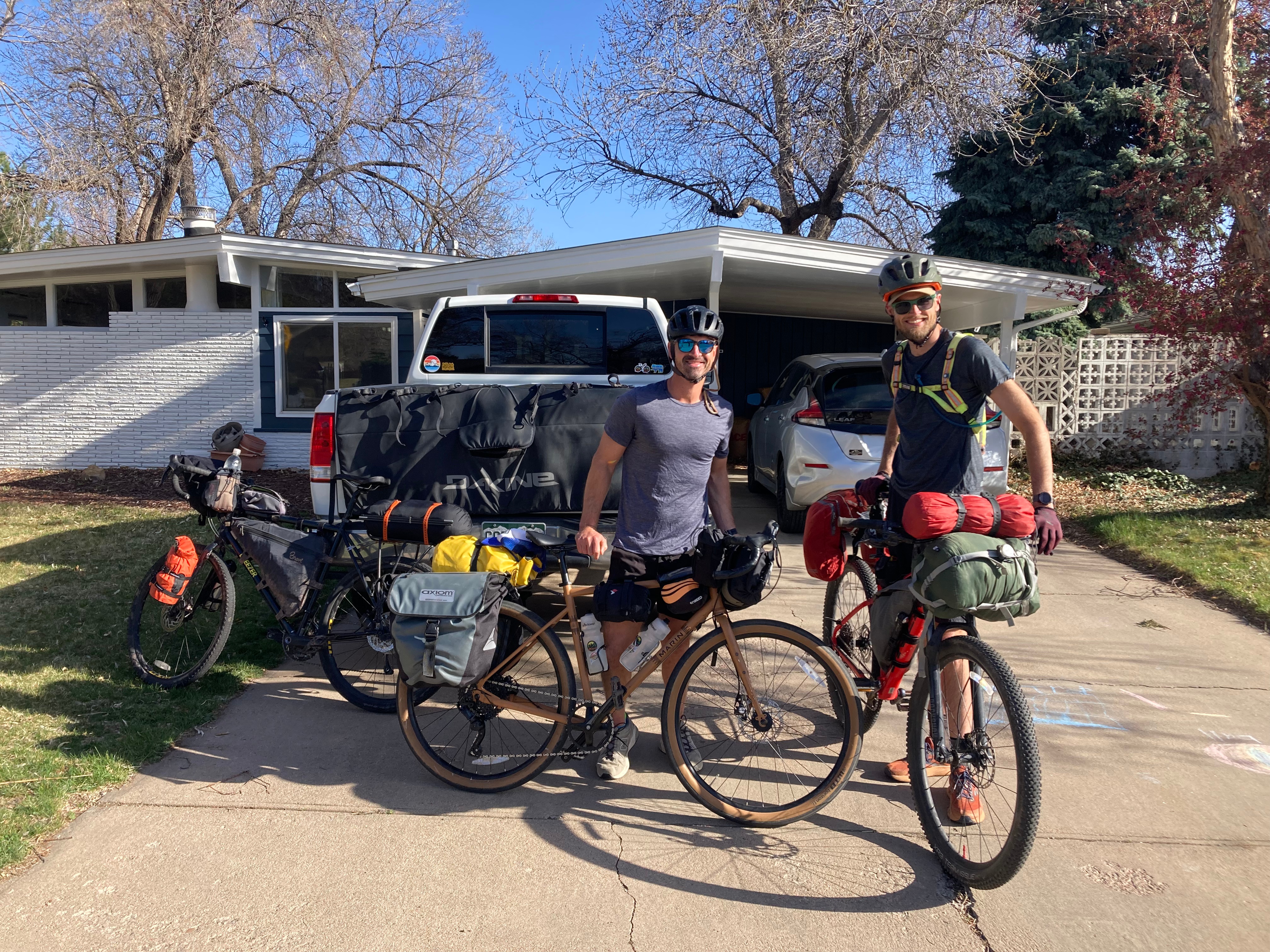
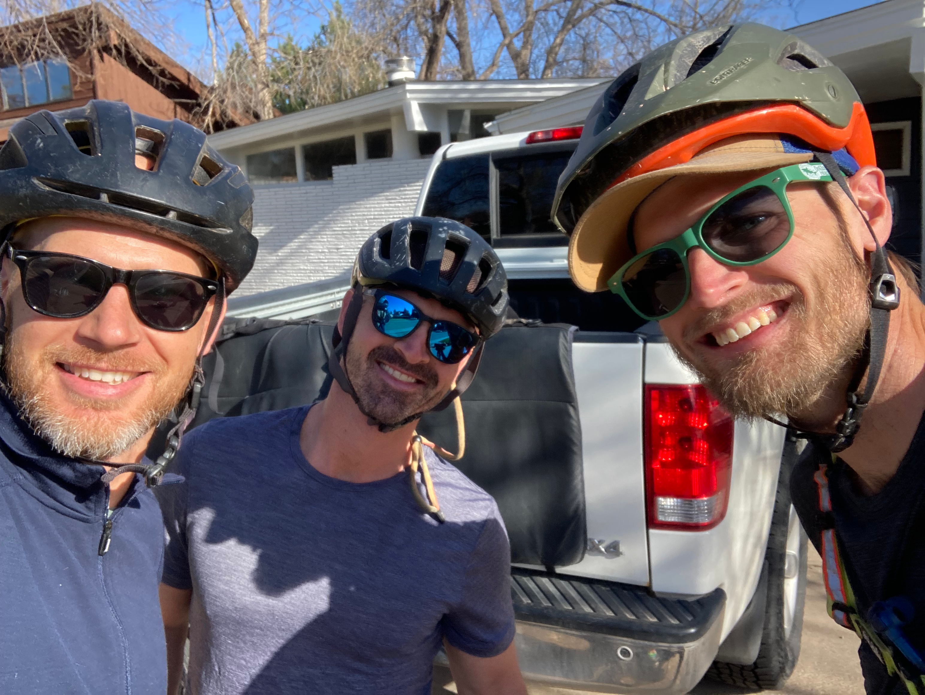
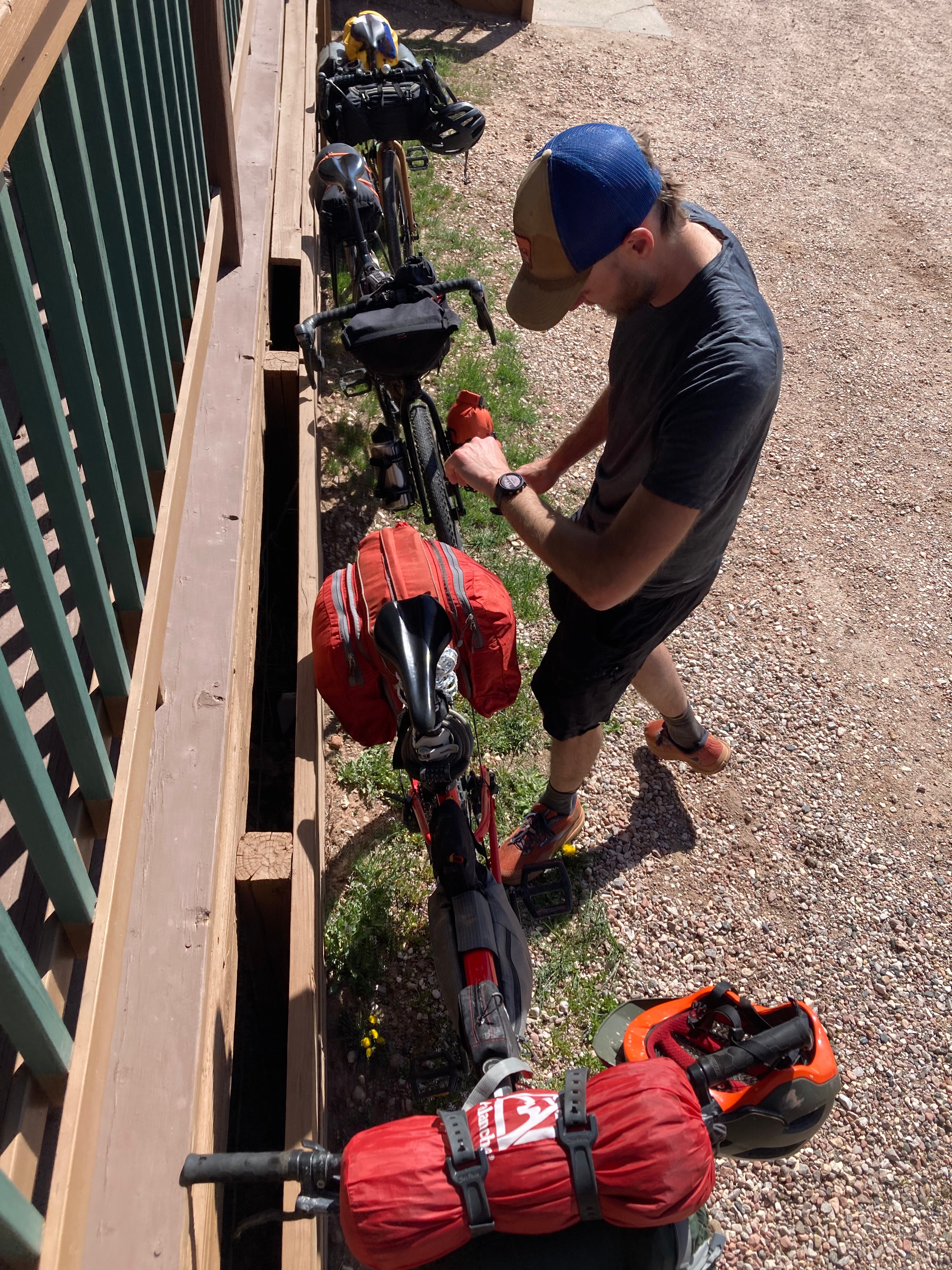
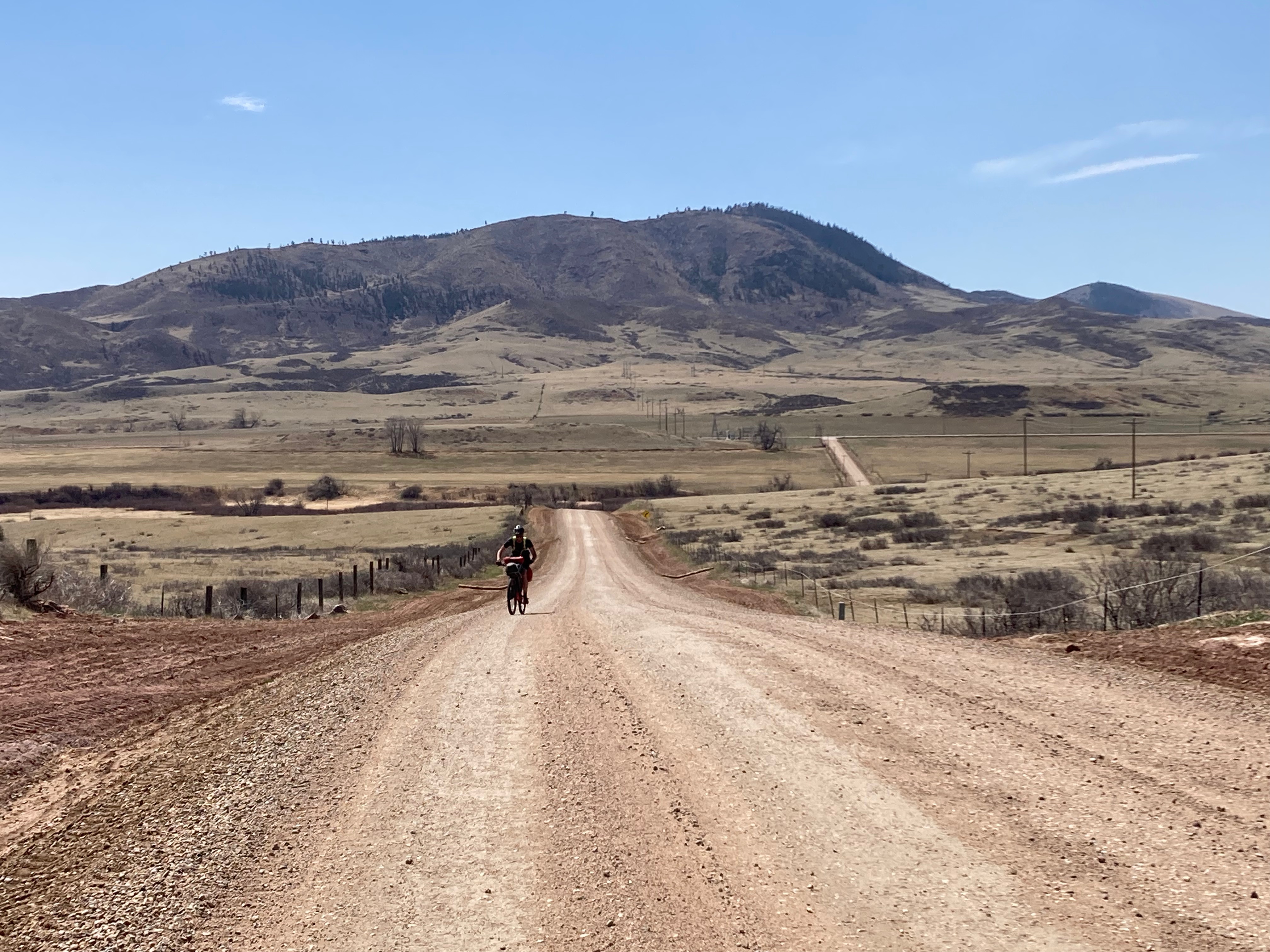
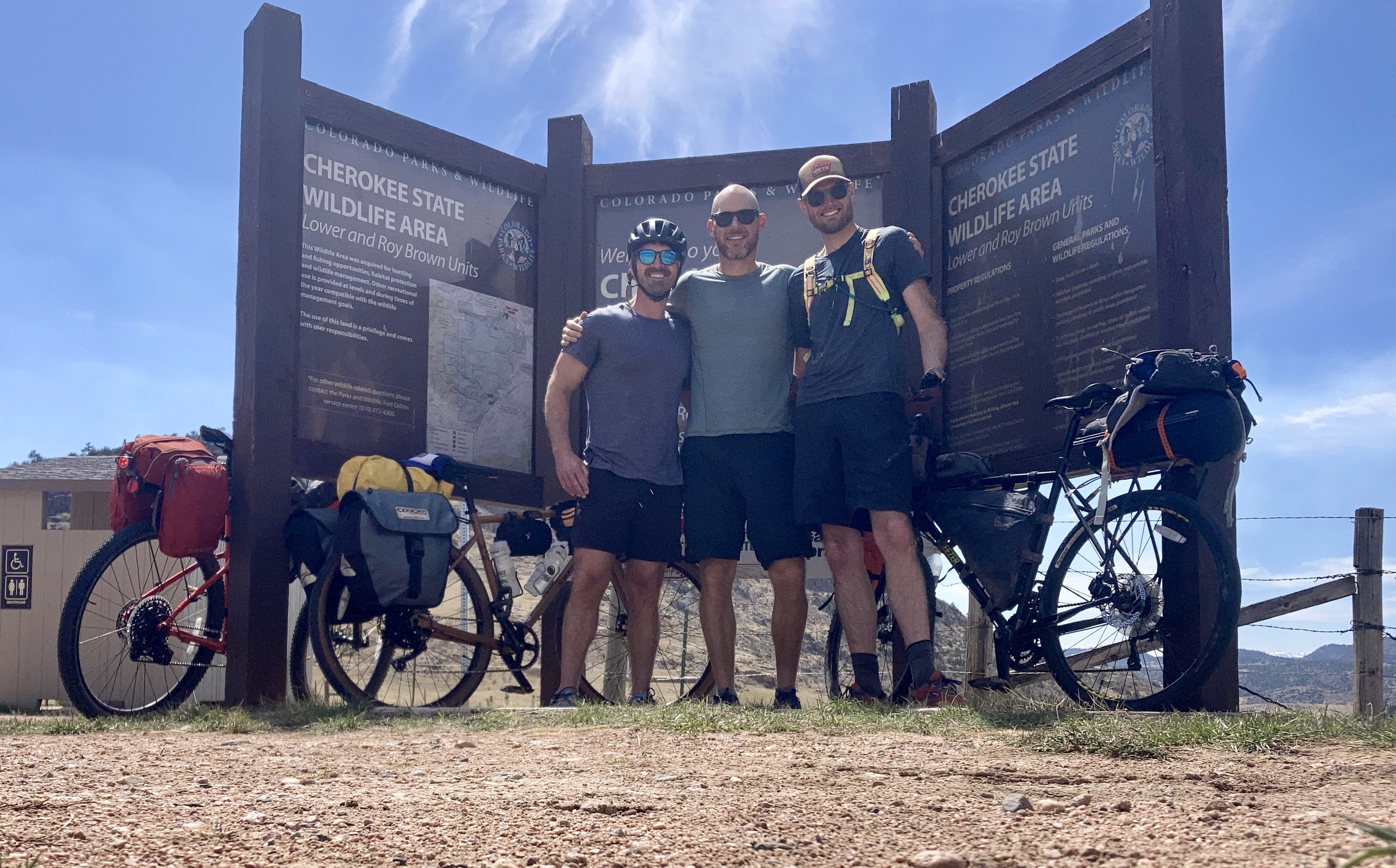
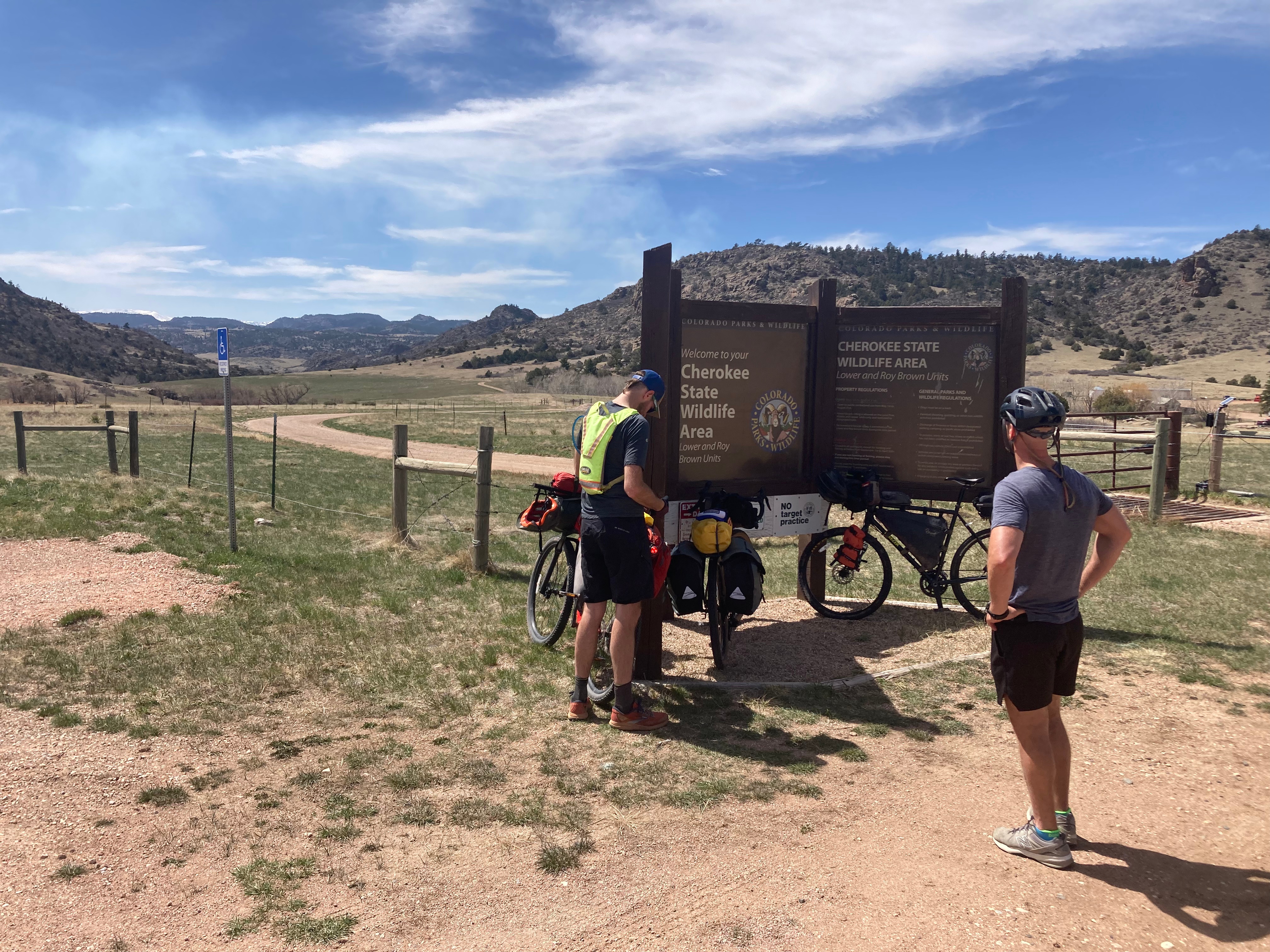
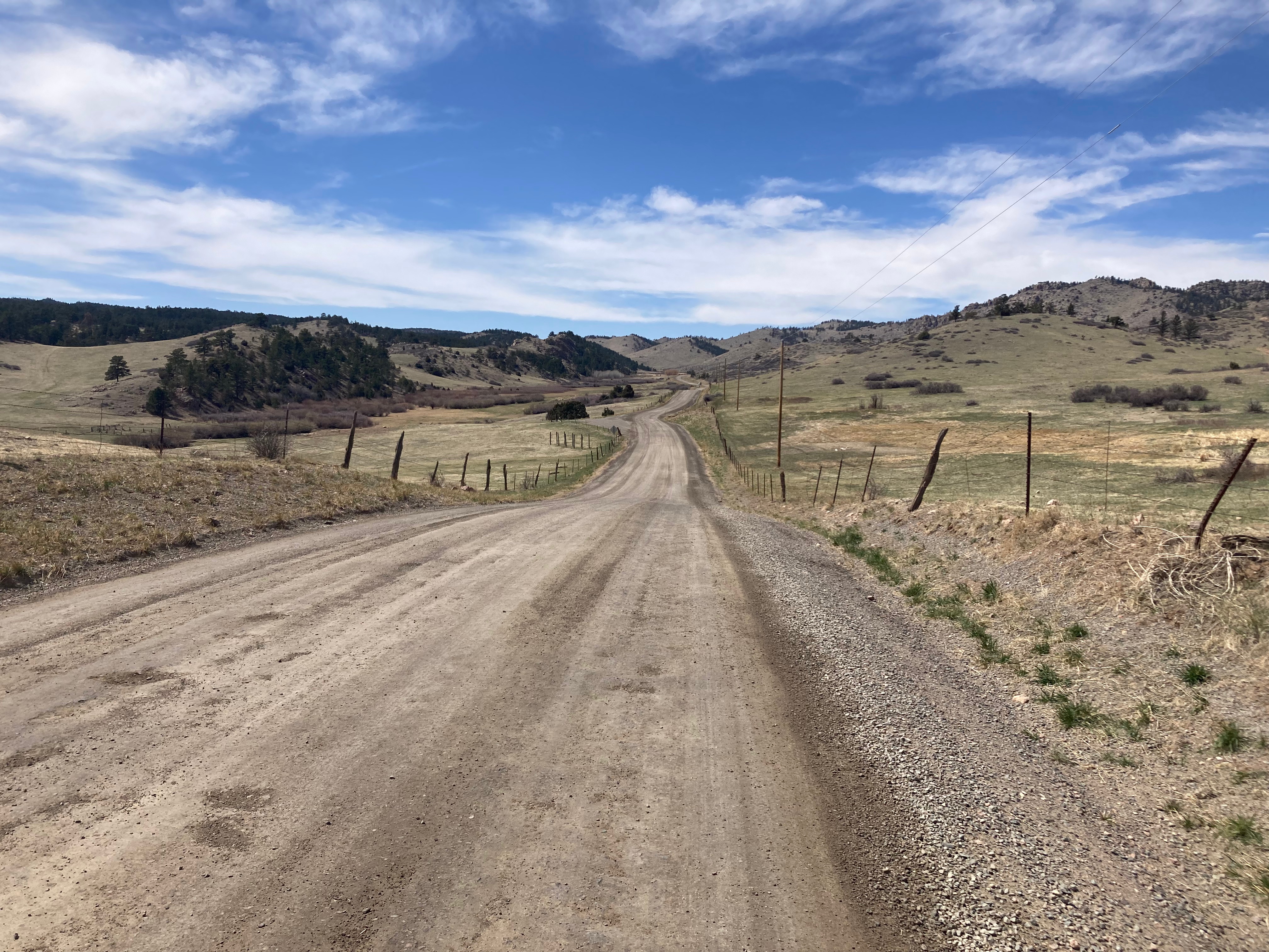
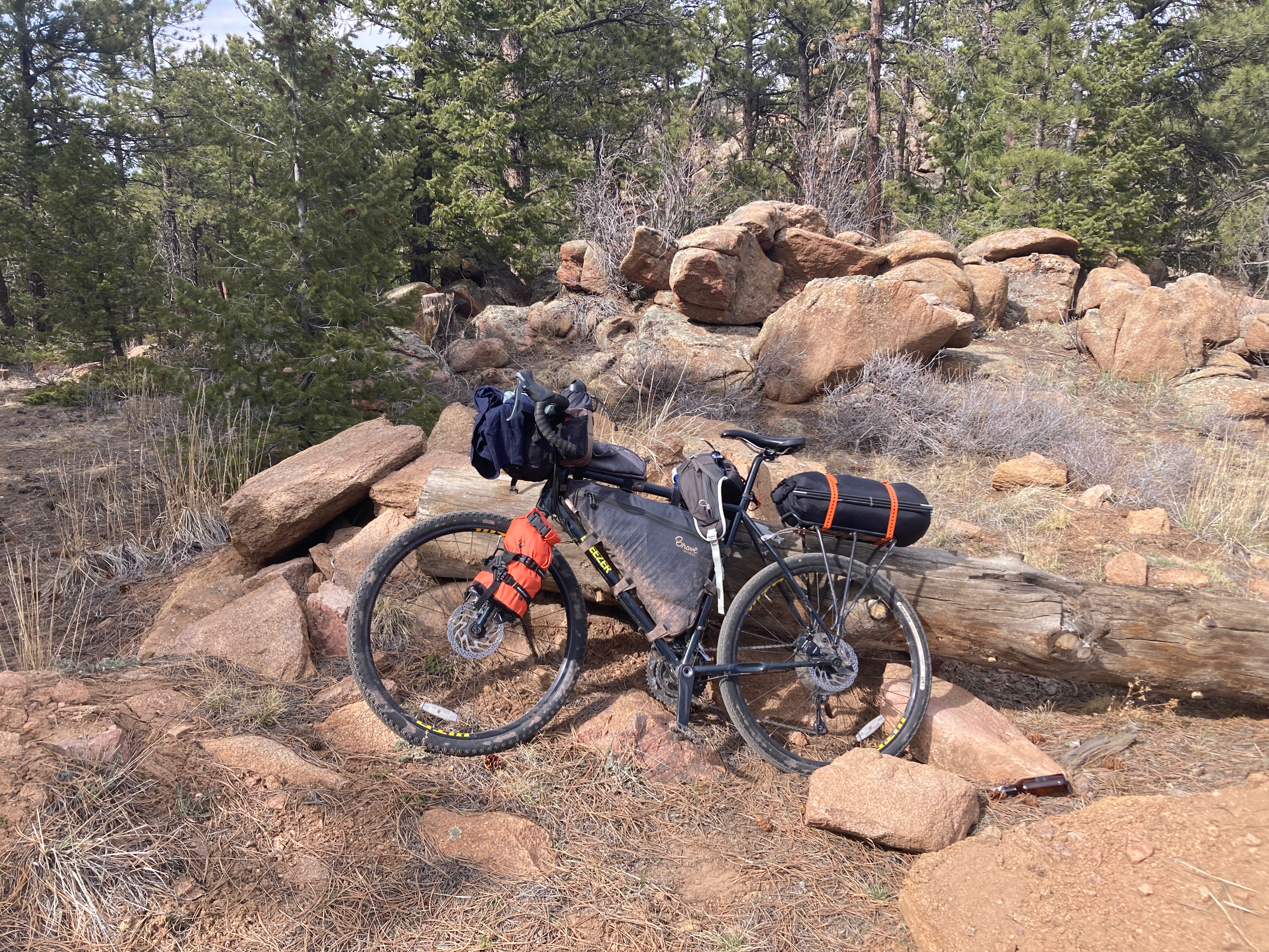
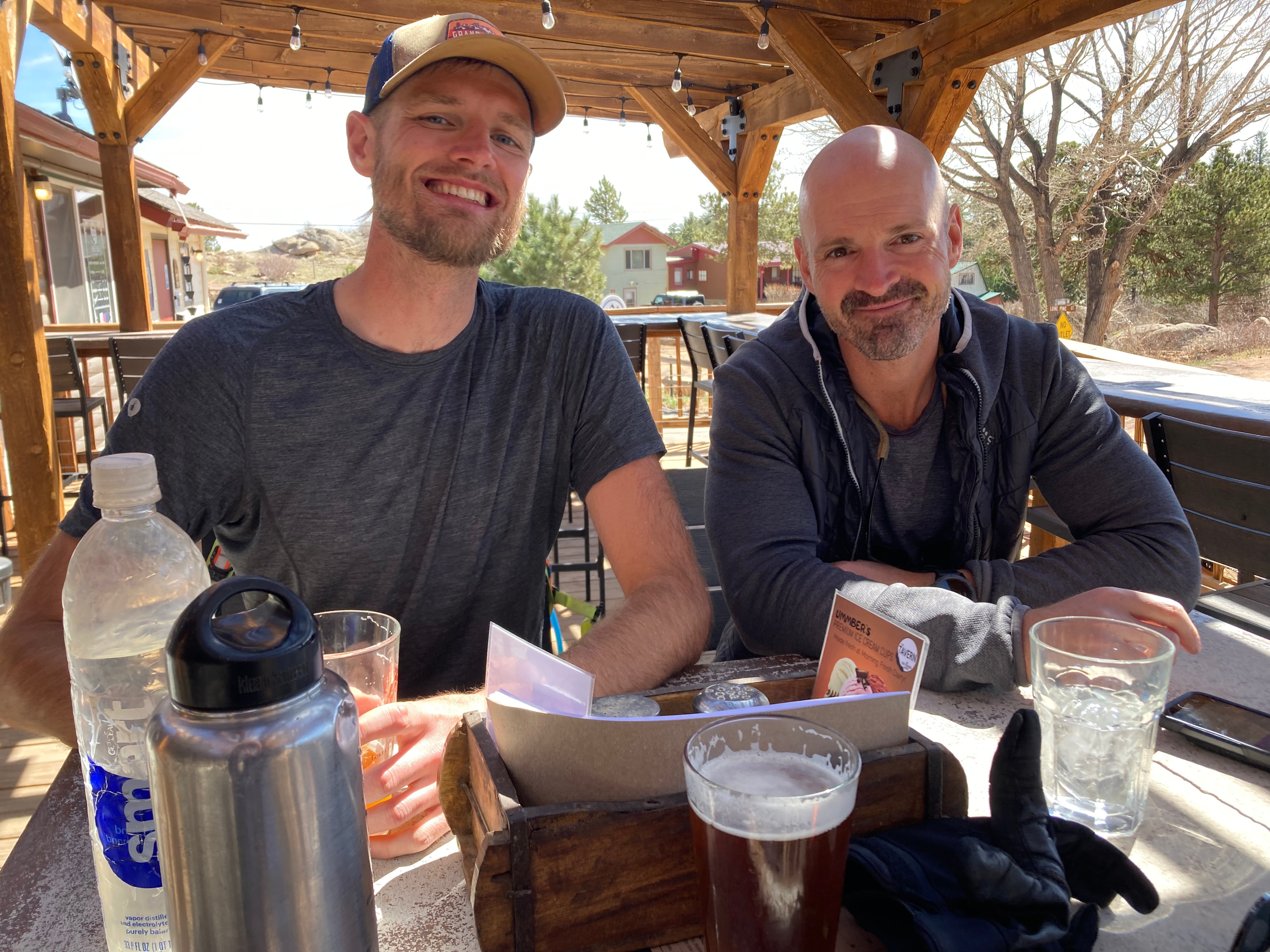
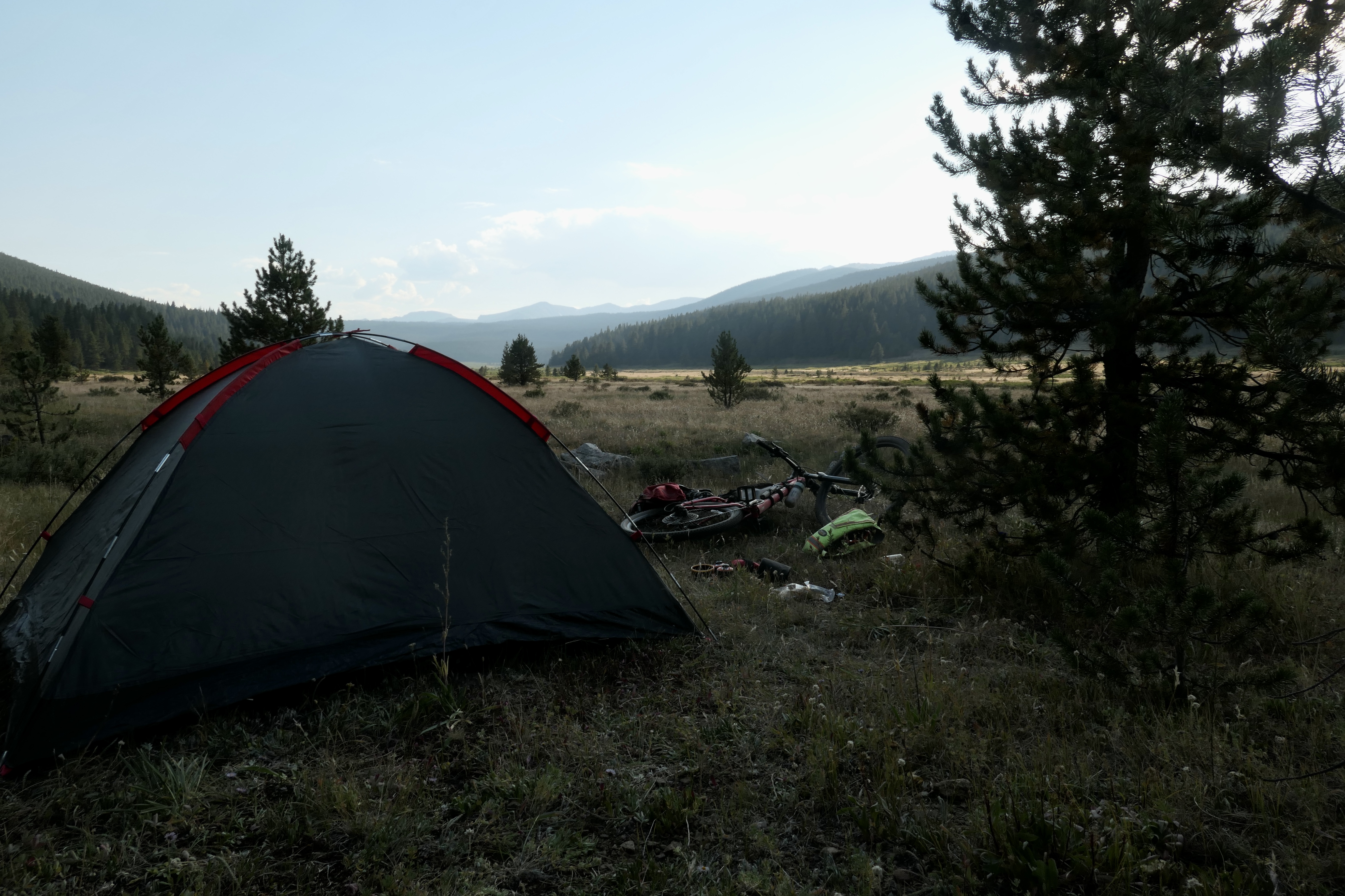
Bikepacking Red Feather, 3 days
Fun 3 day ride with my good buddies Cam and Josh. We could ride it straight out of our home town which is always fun. The route is a simplified version of the Red Feather Rambler described on bikepacking.com. We rode it in mid April which was totally fine since we didn’t have a lot of snowfall last year. However, that is something to be aware of.
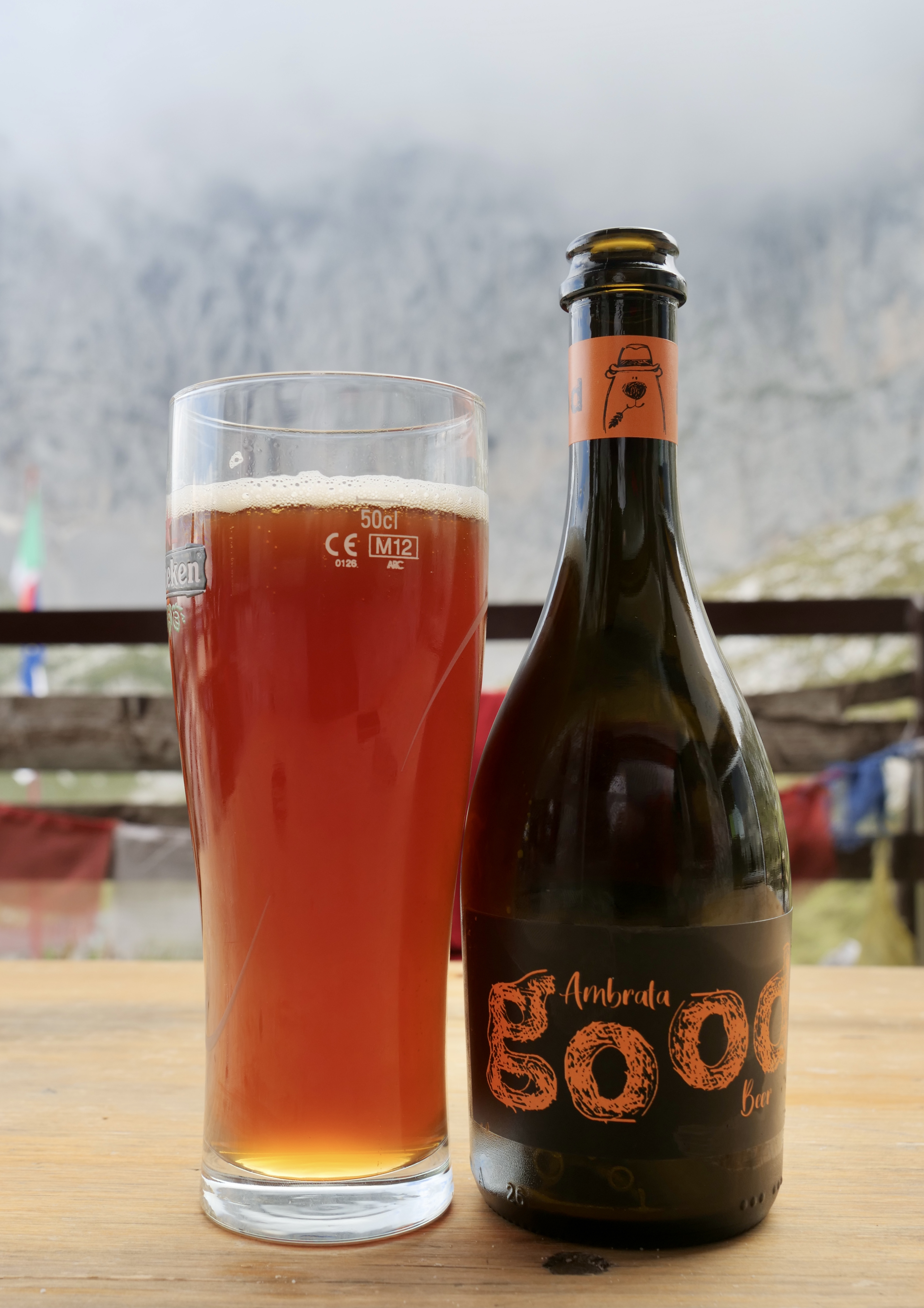
On day 1 we rode to lost lake from Fort Collins which is a beautiful spot to camp. If you are planning to stay at campgrounds on day 2 make sure to check if they are open. Most of them open in May. On day 2 we cheated and made a stop at the tavern in Red Feather, highly recommended!
Below is a screenshot and here are the Strava links: Day 1, Day 2, and Day 3.
Not too many photos from this trip since i just had my phone.
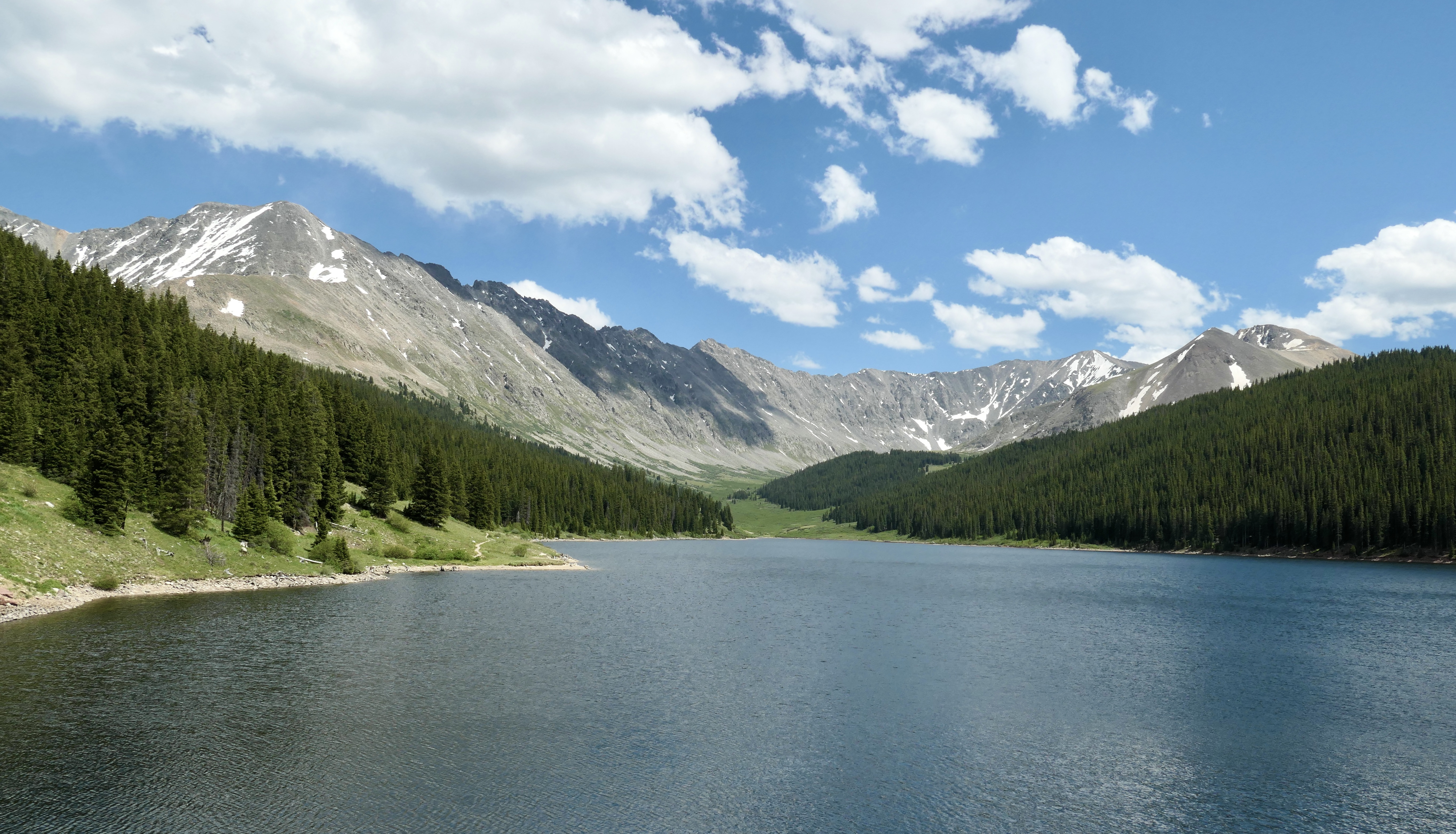
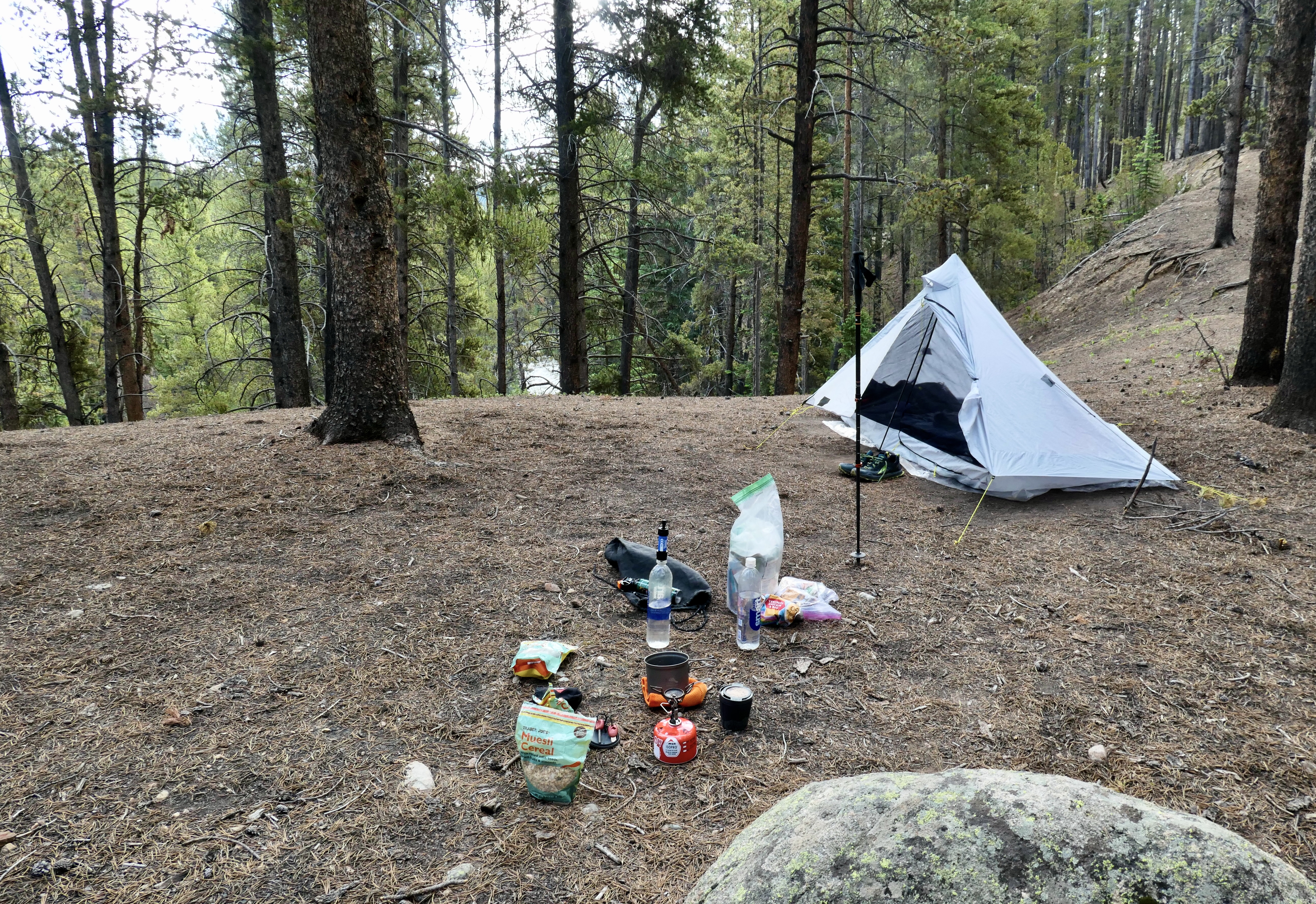
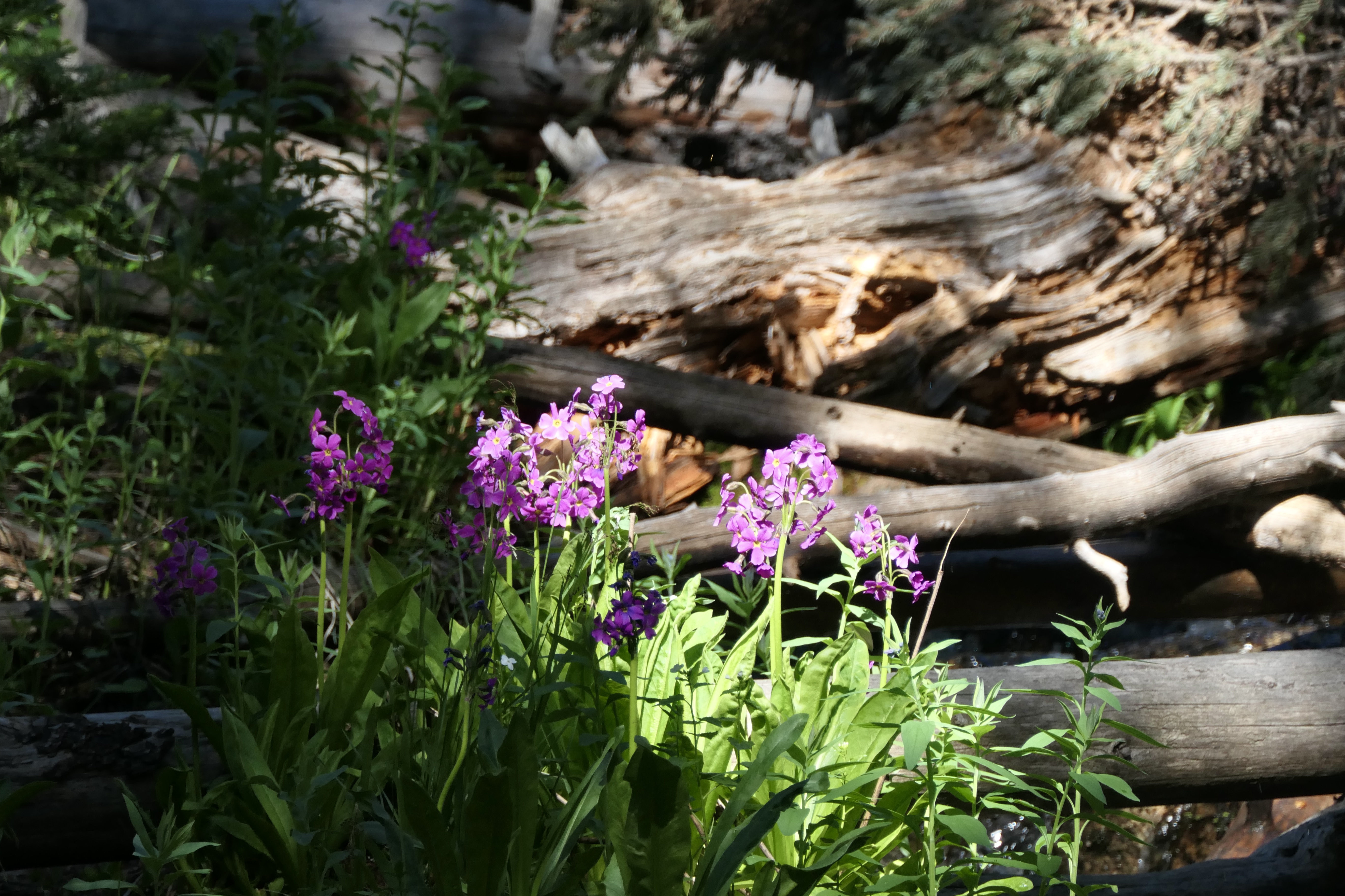
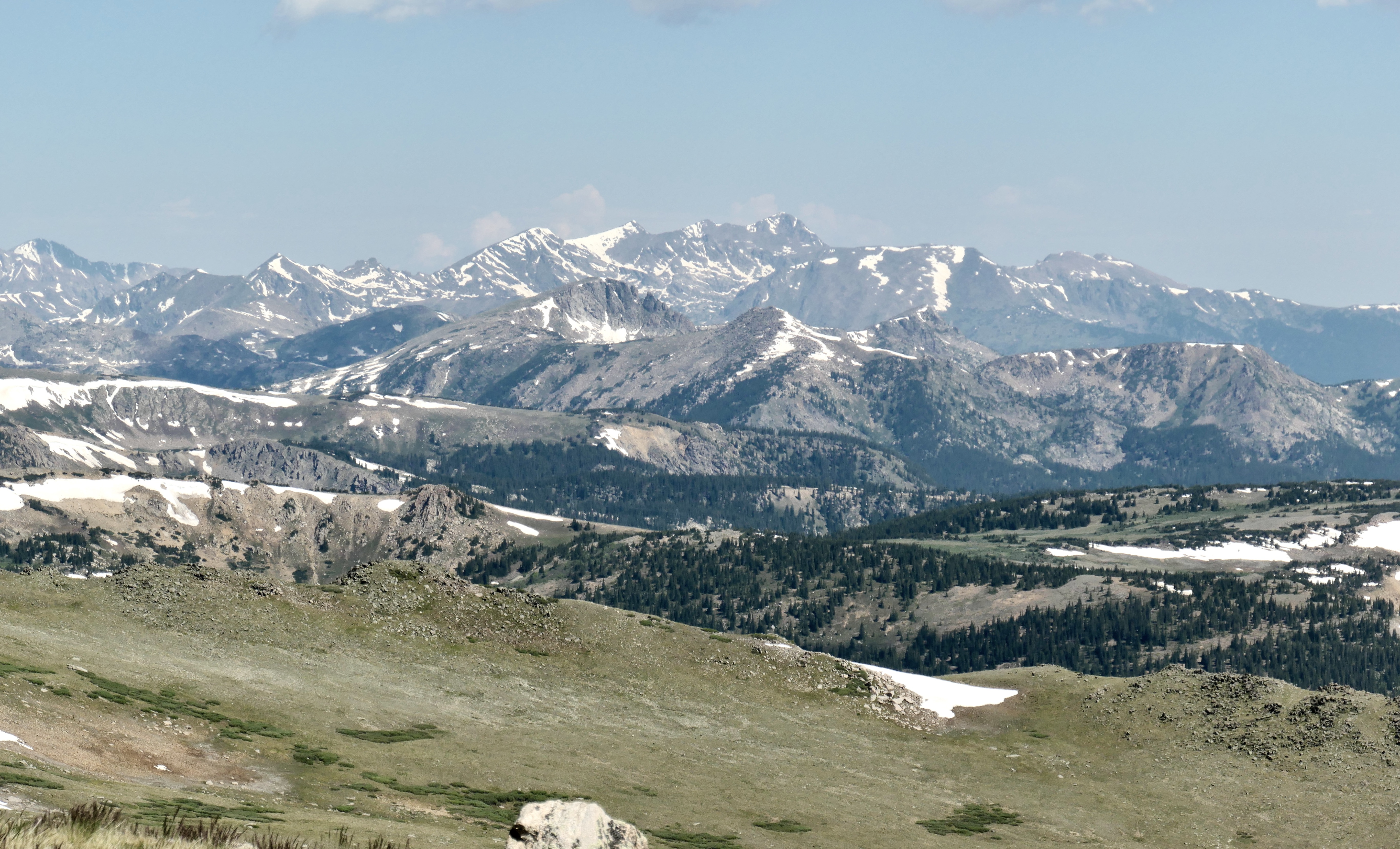
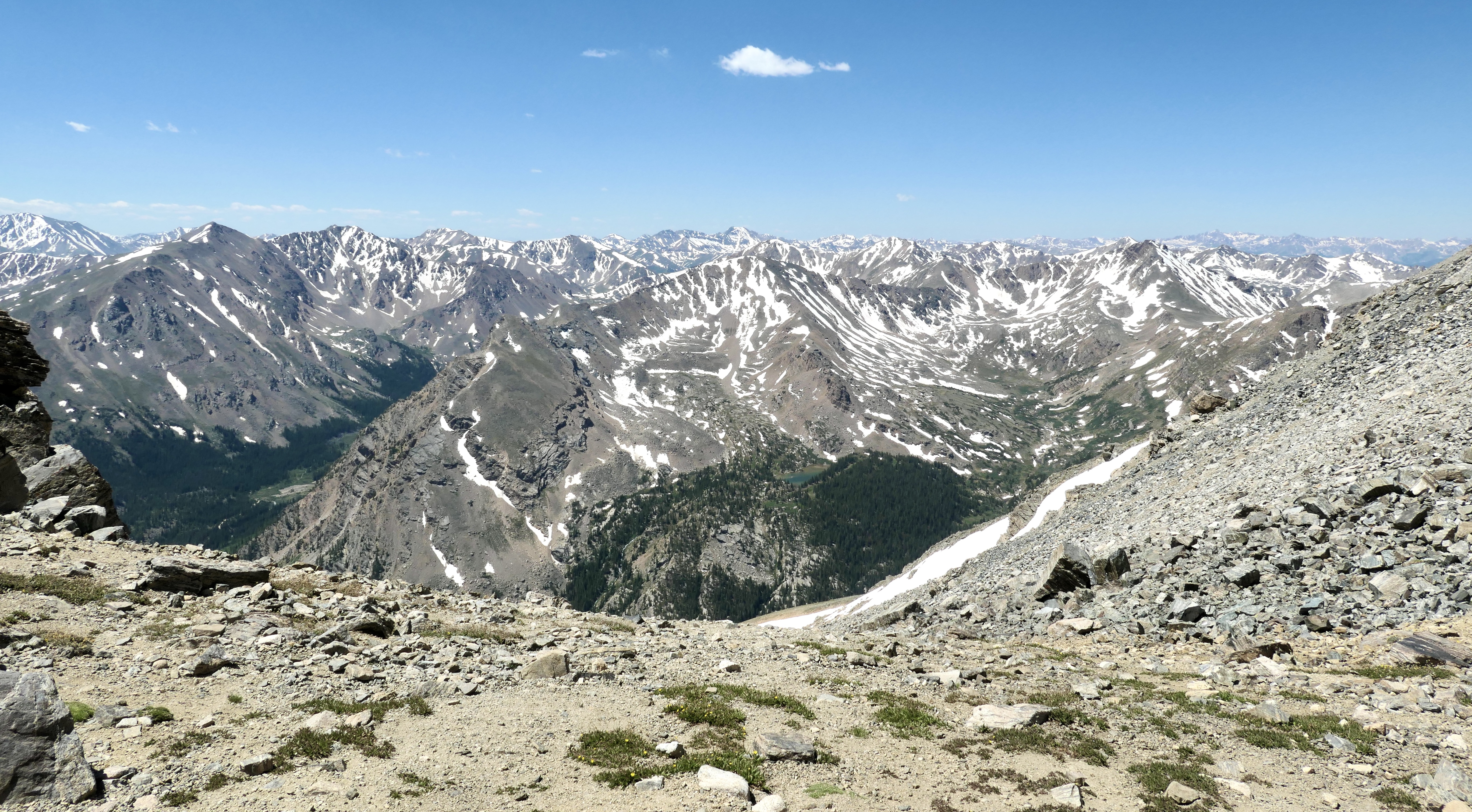
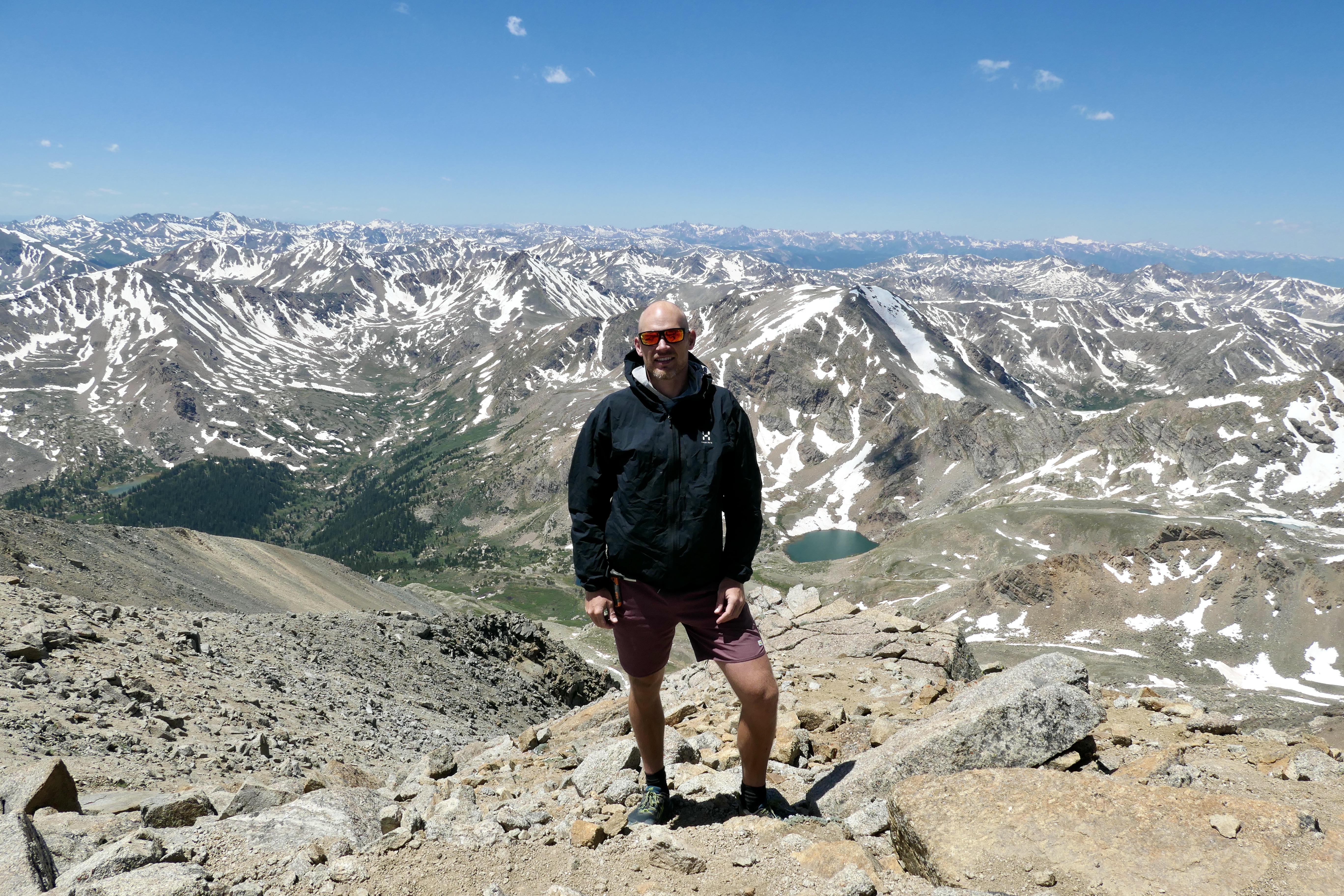
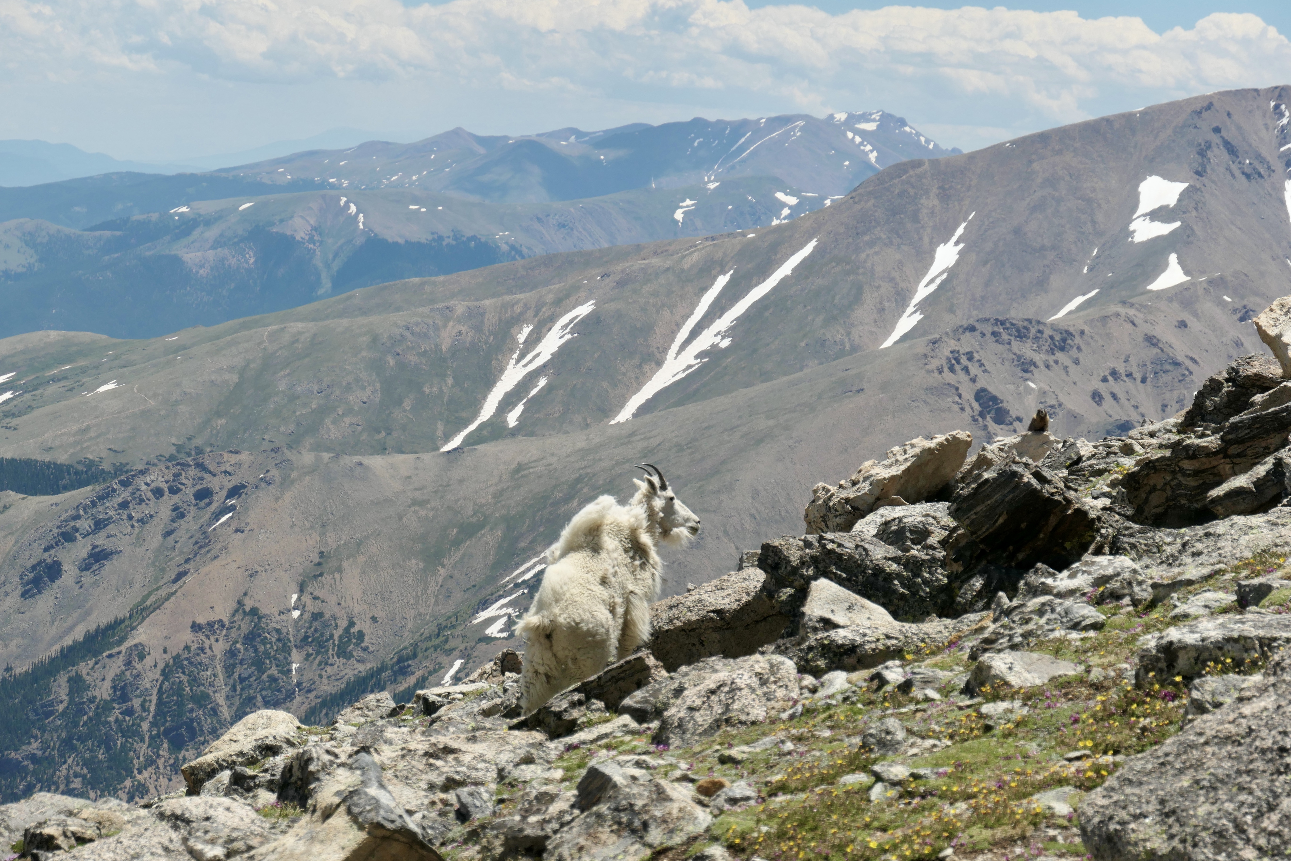
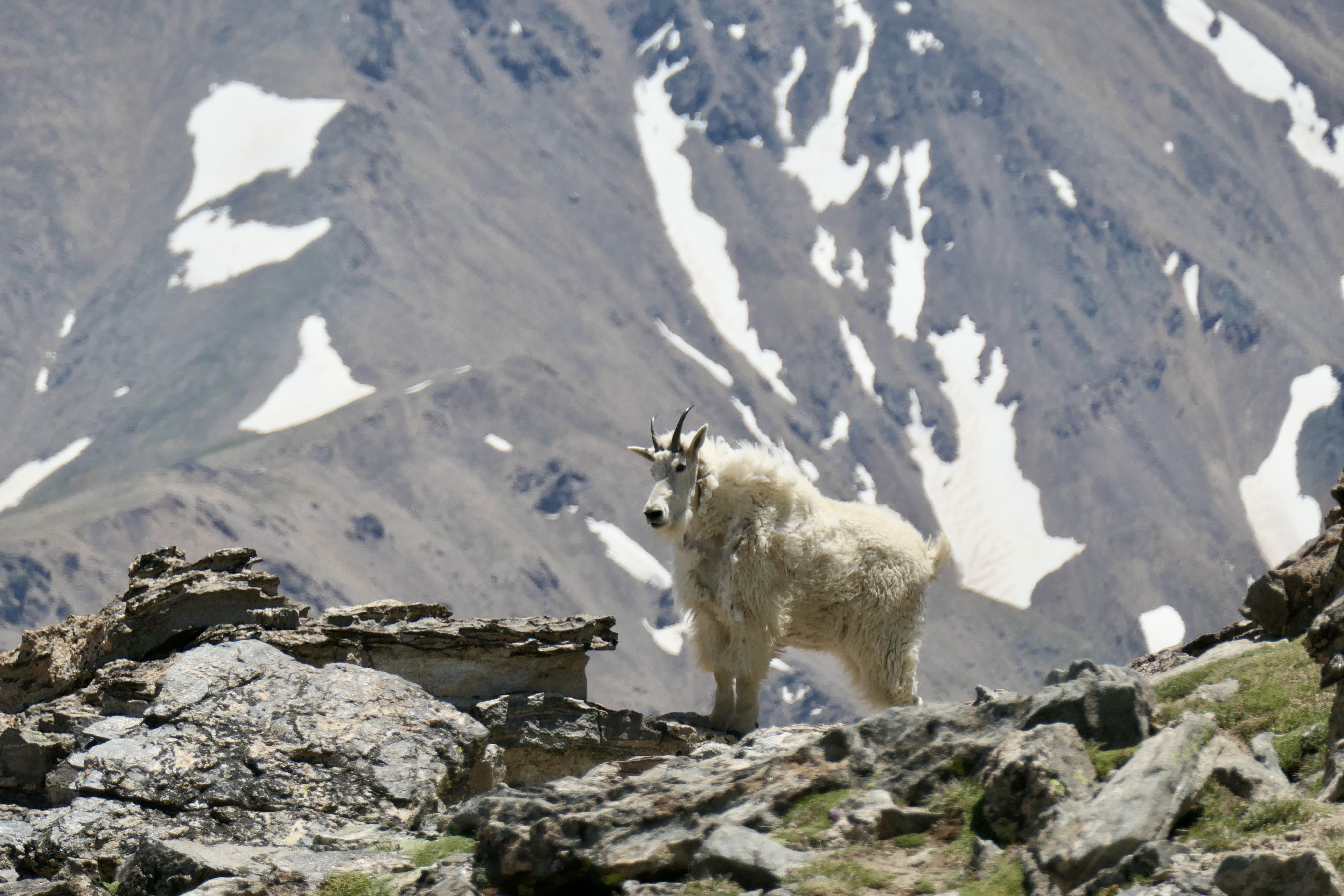
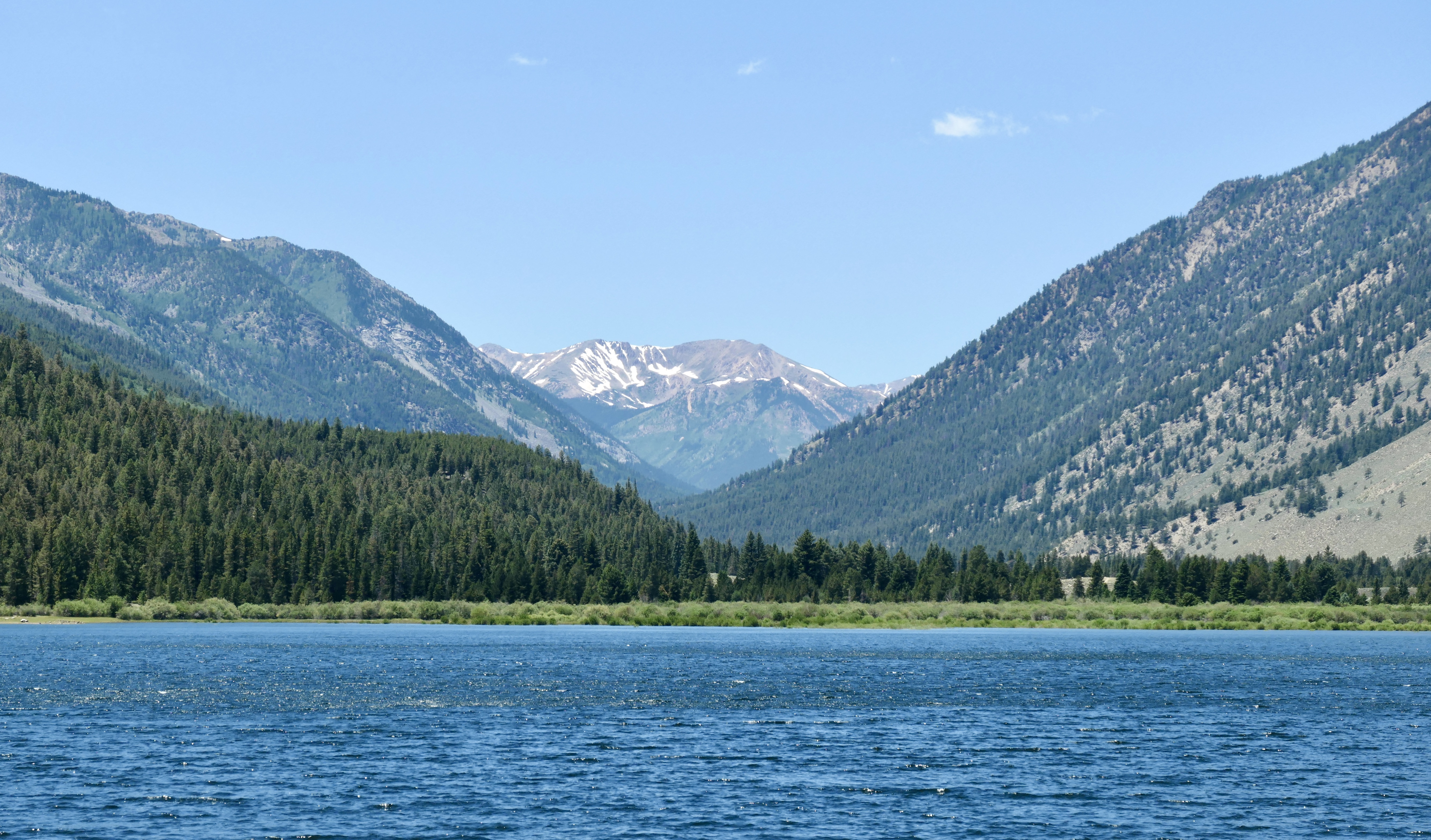
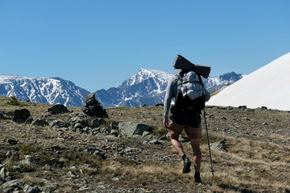
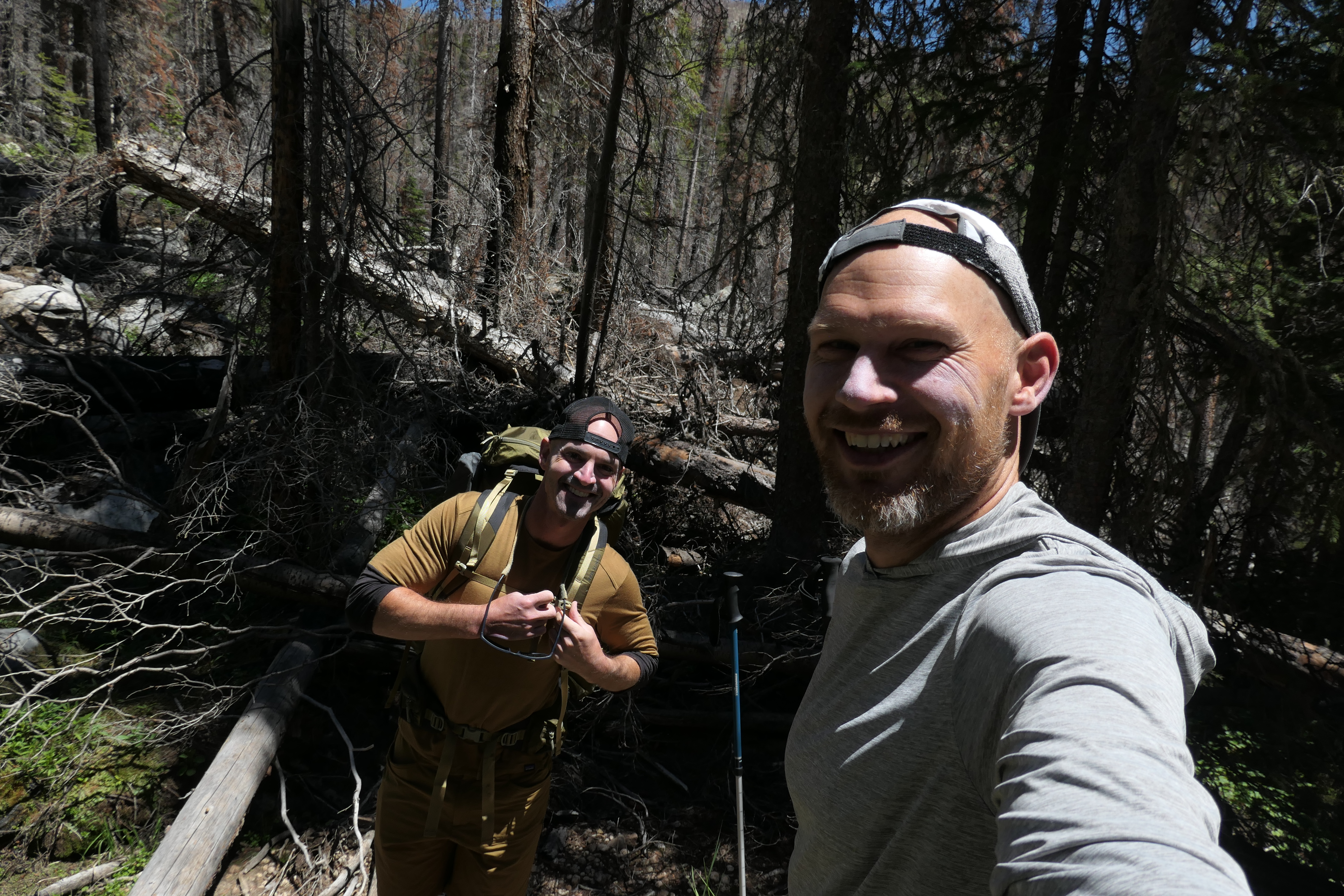
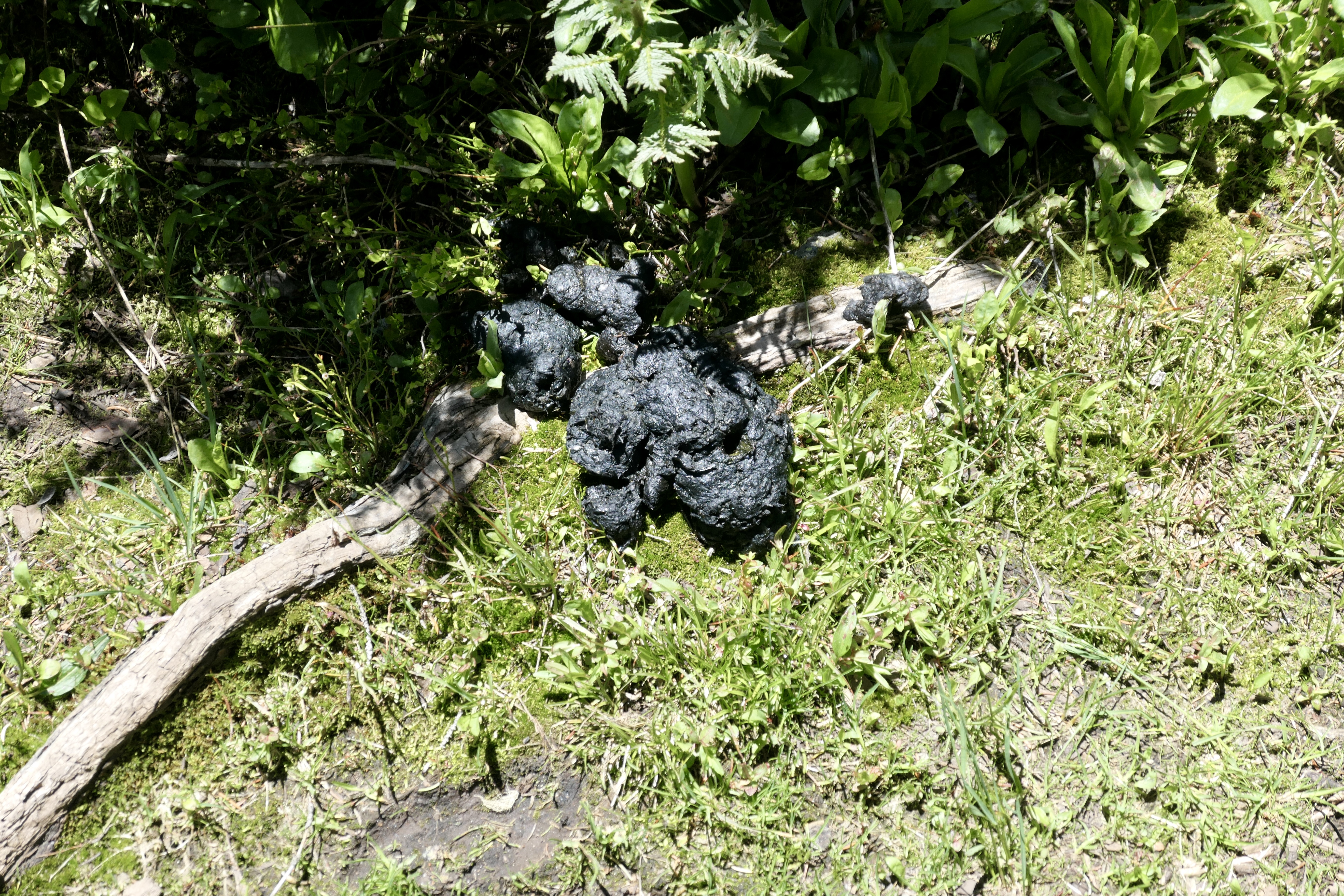
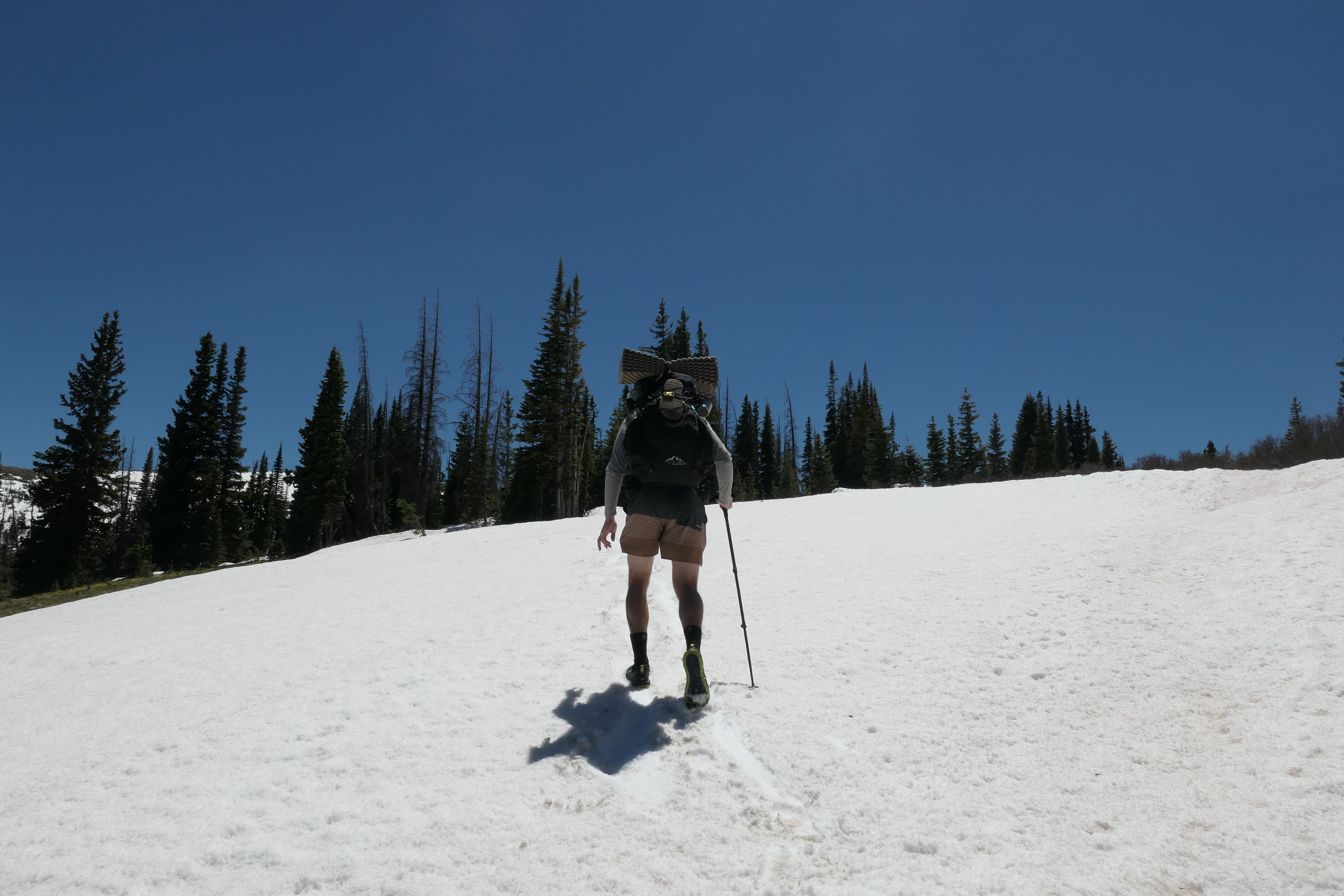
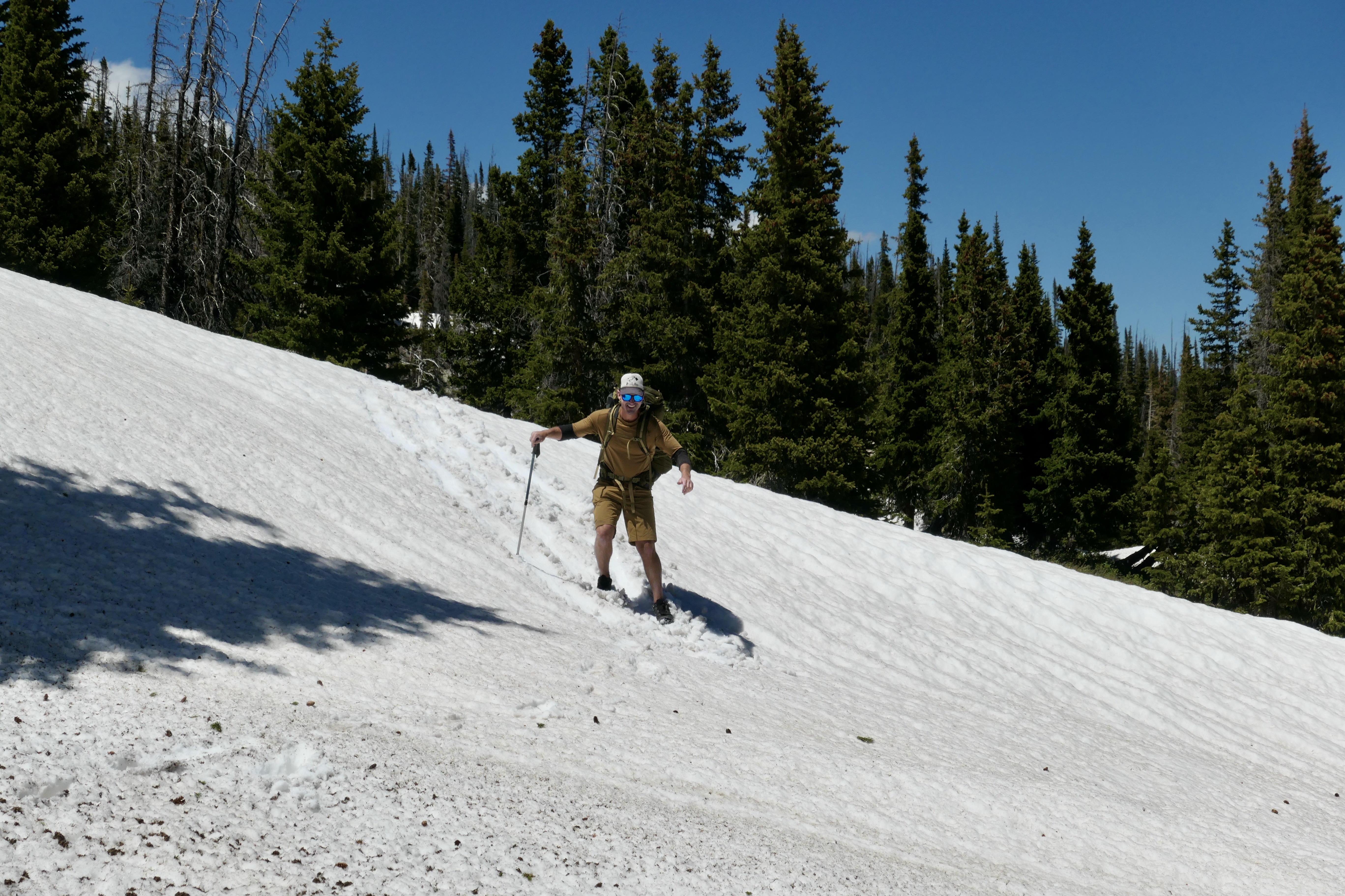
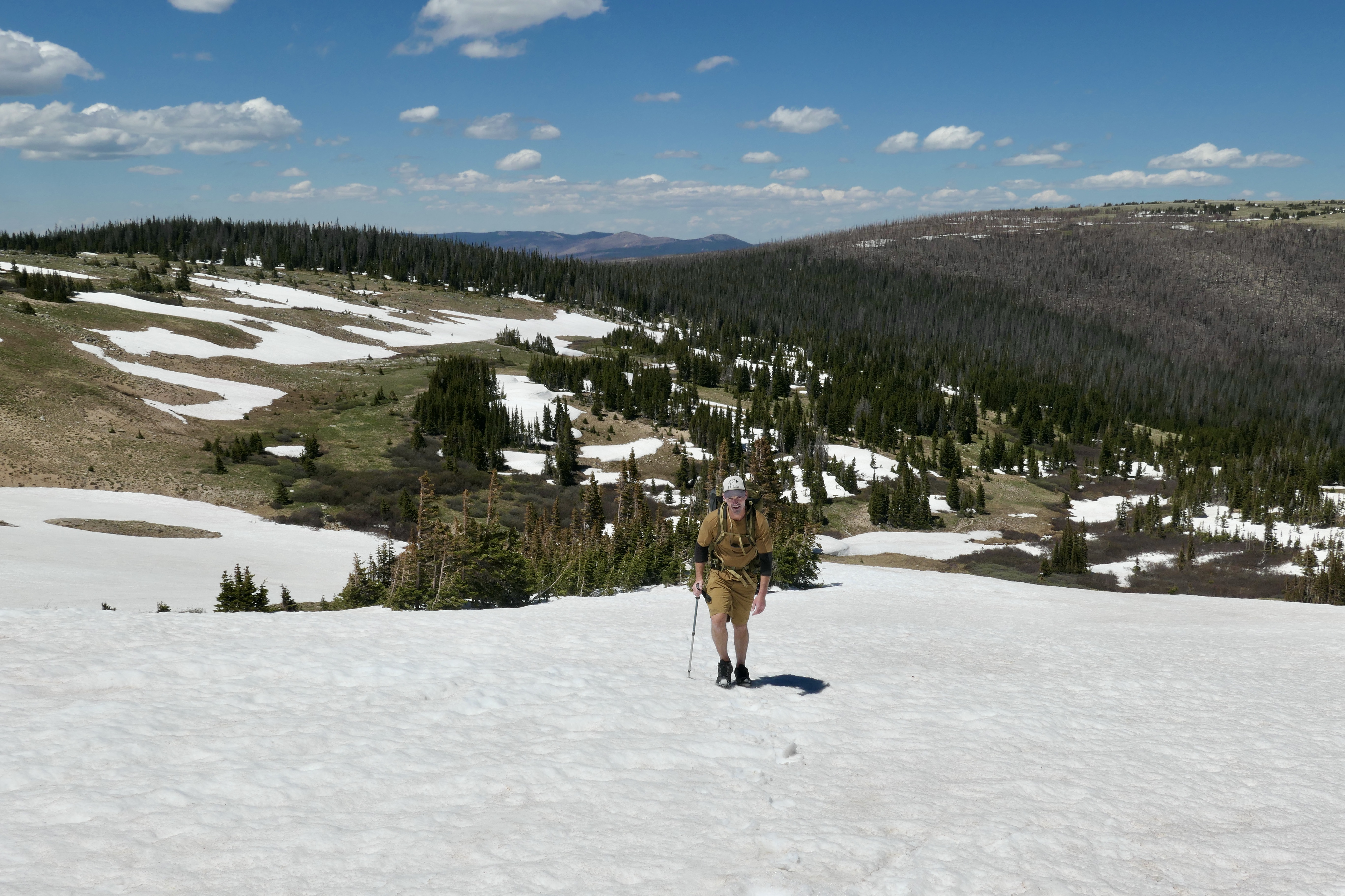
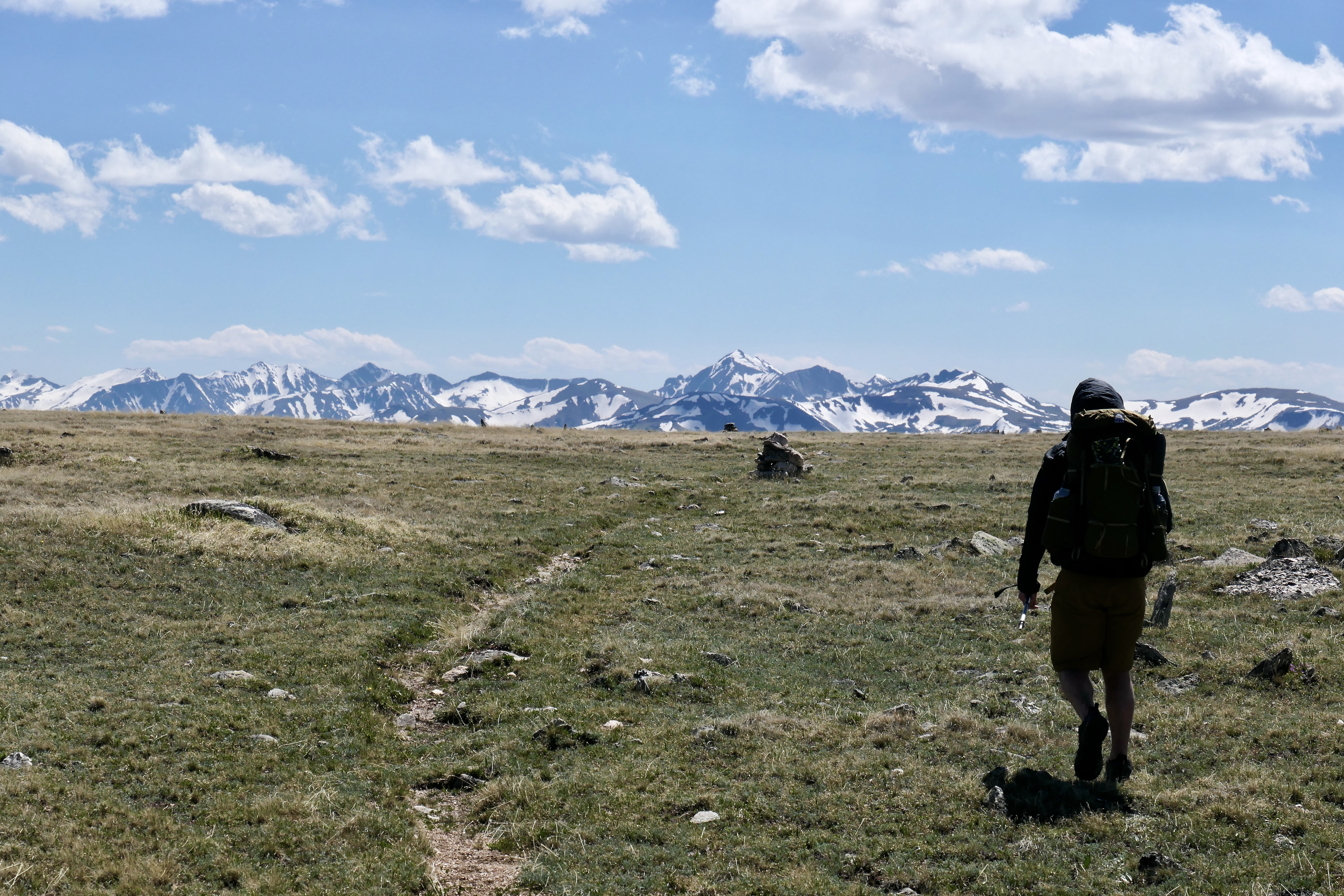
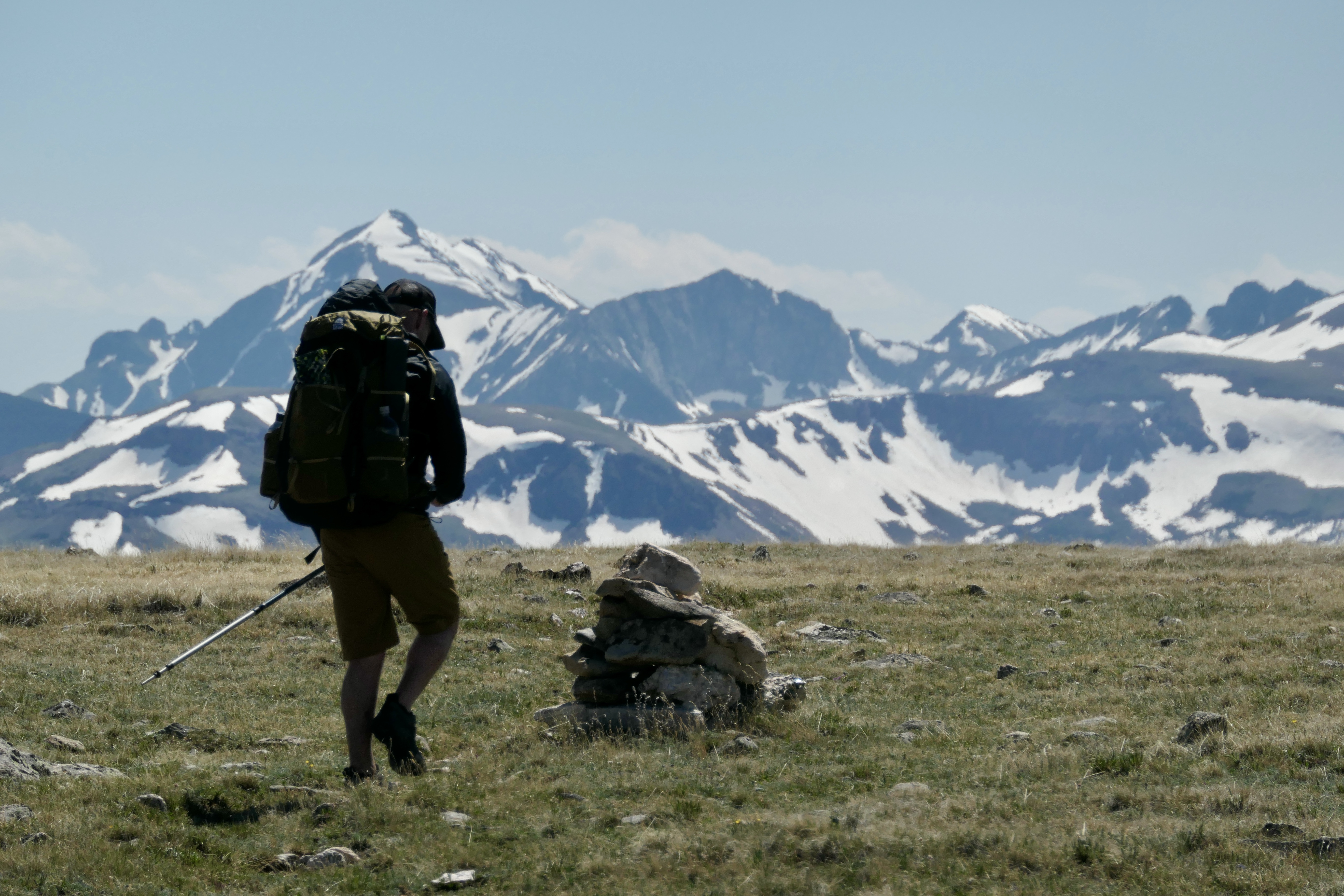
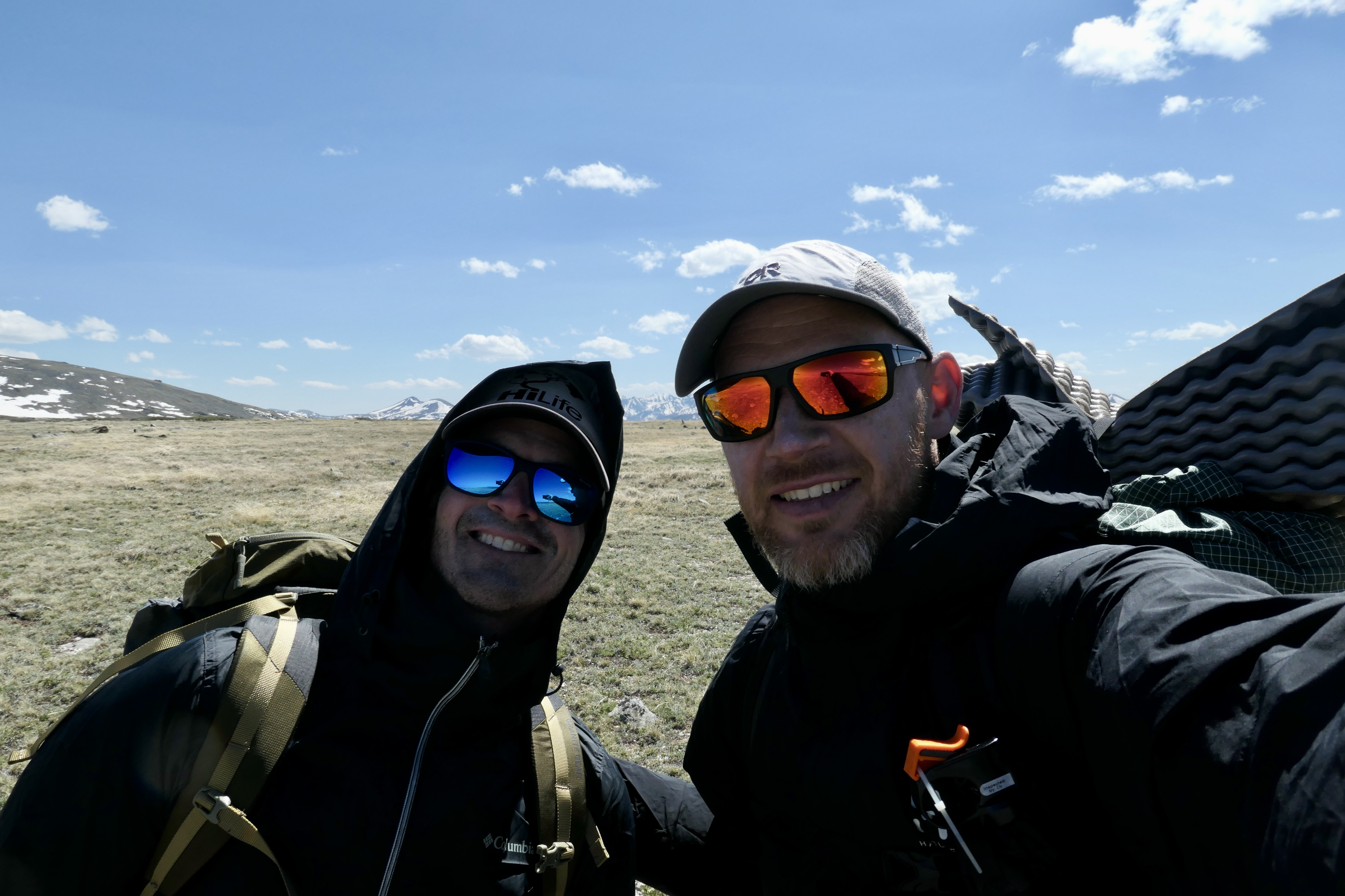
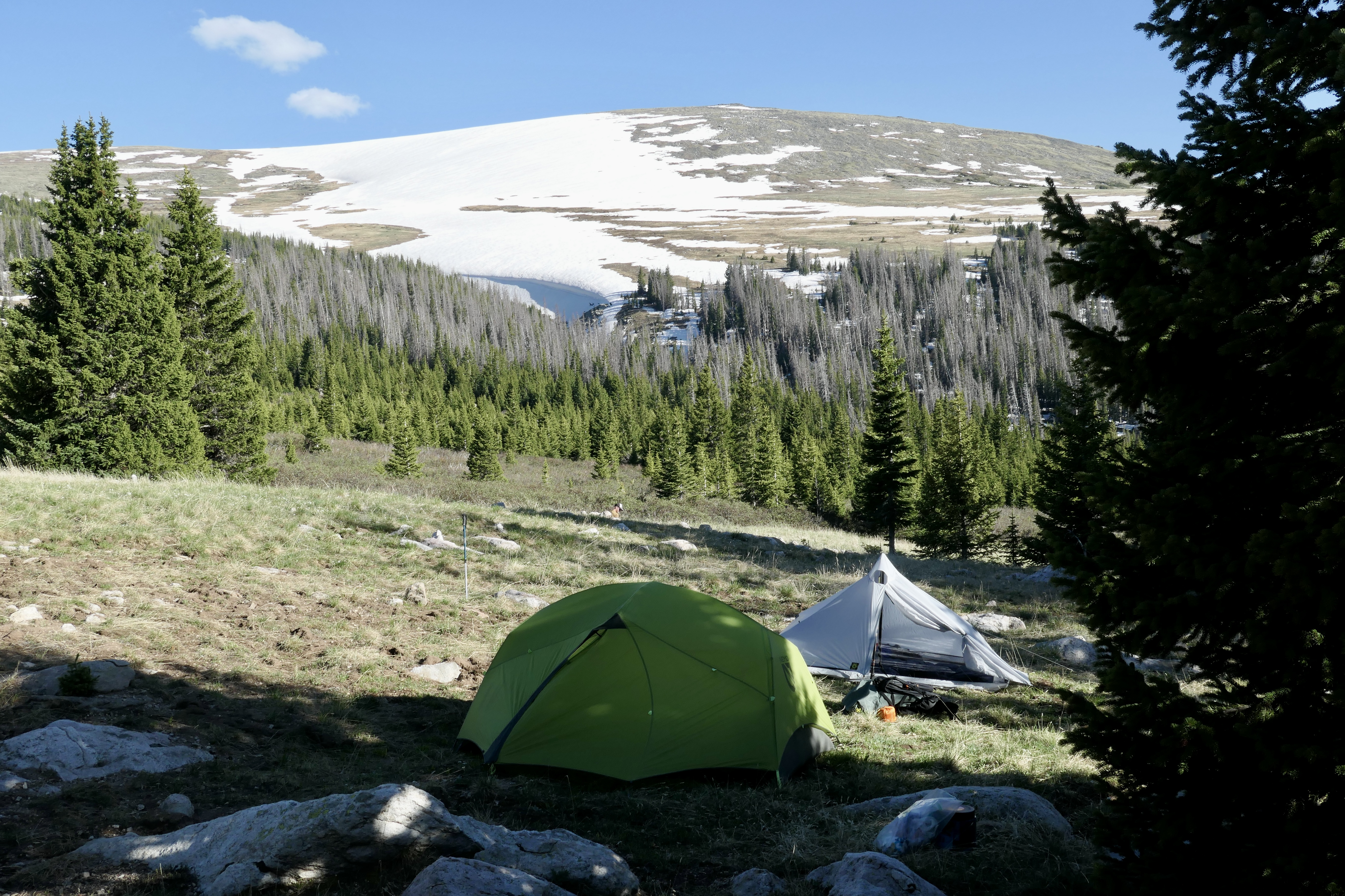
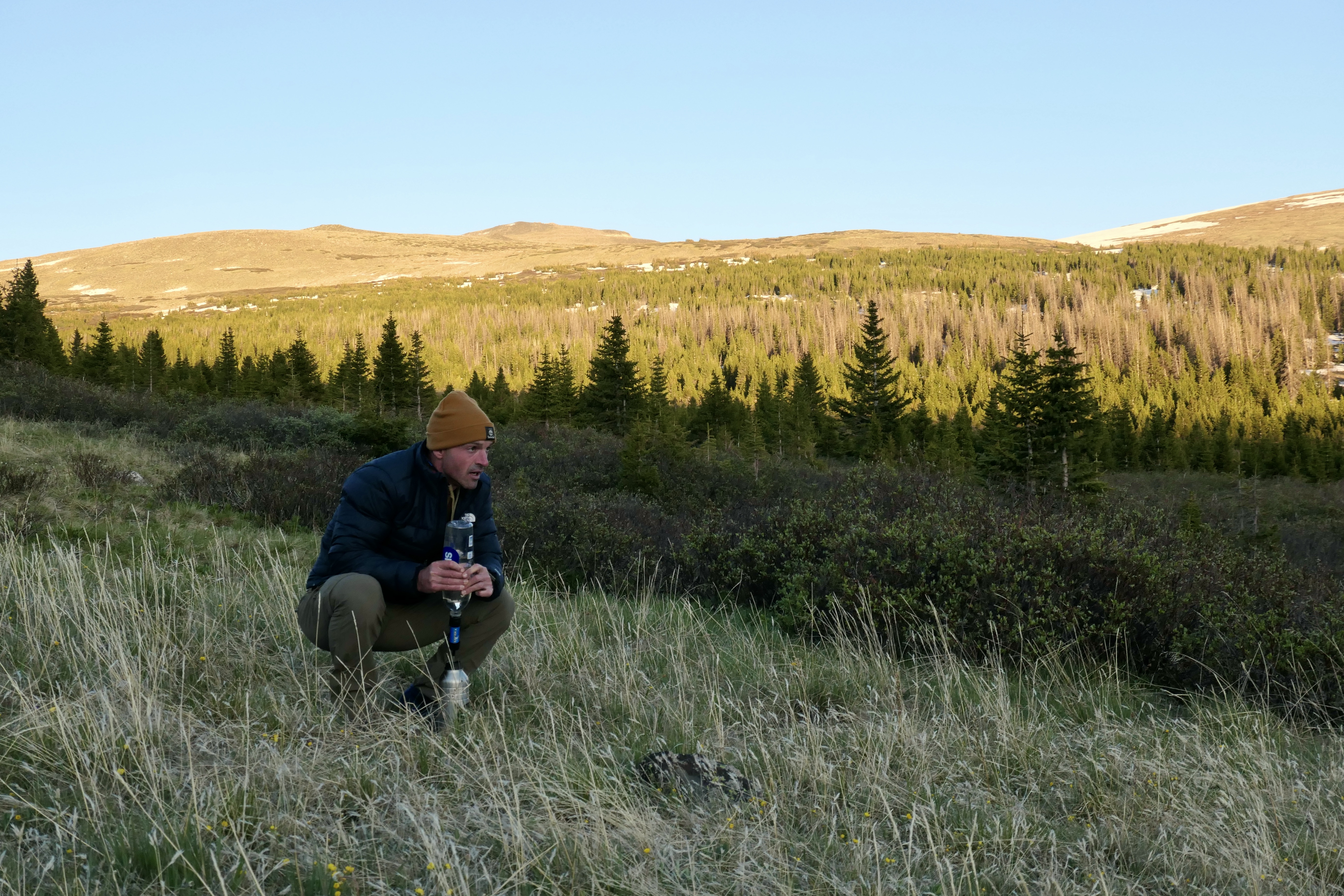
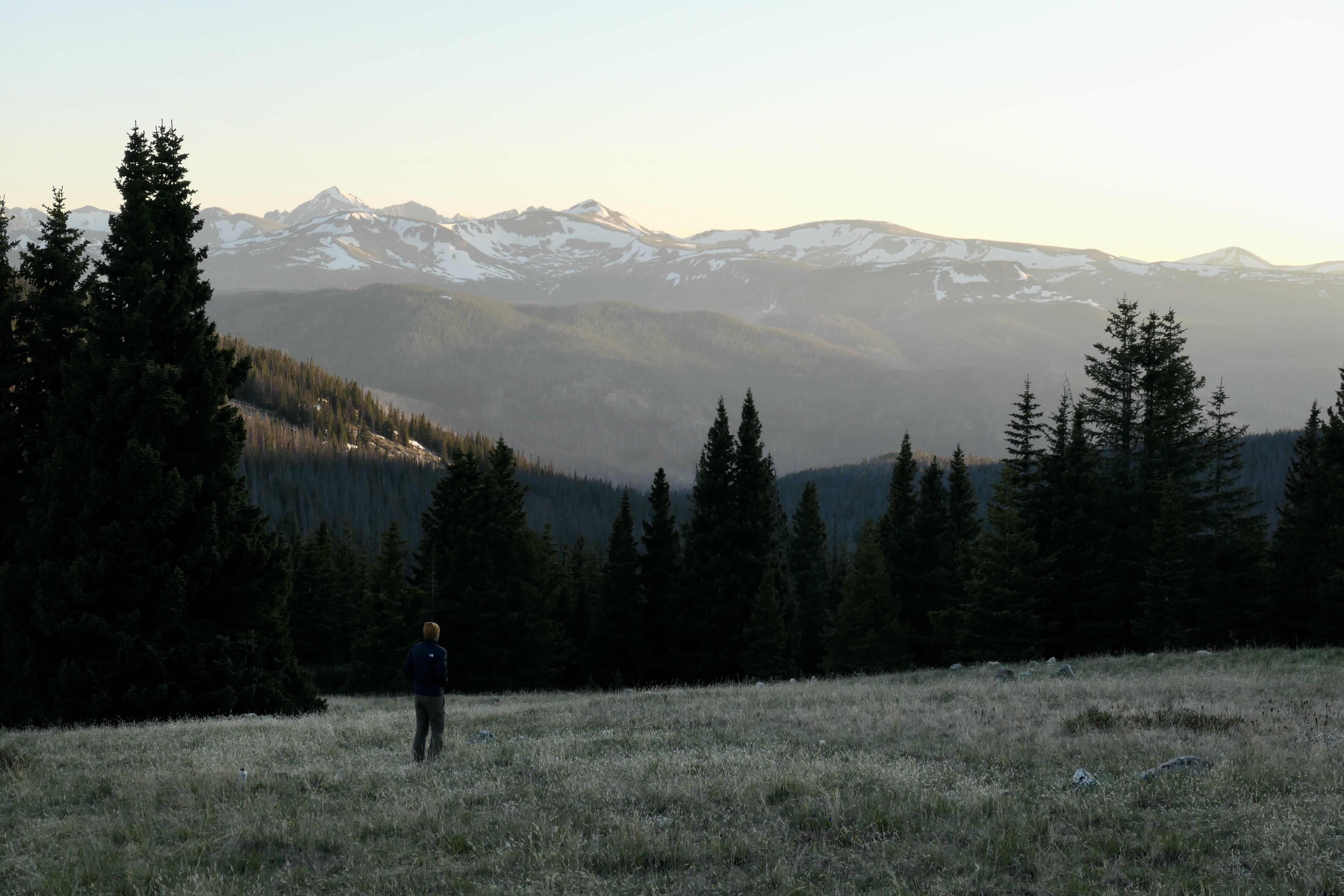
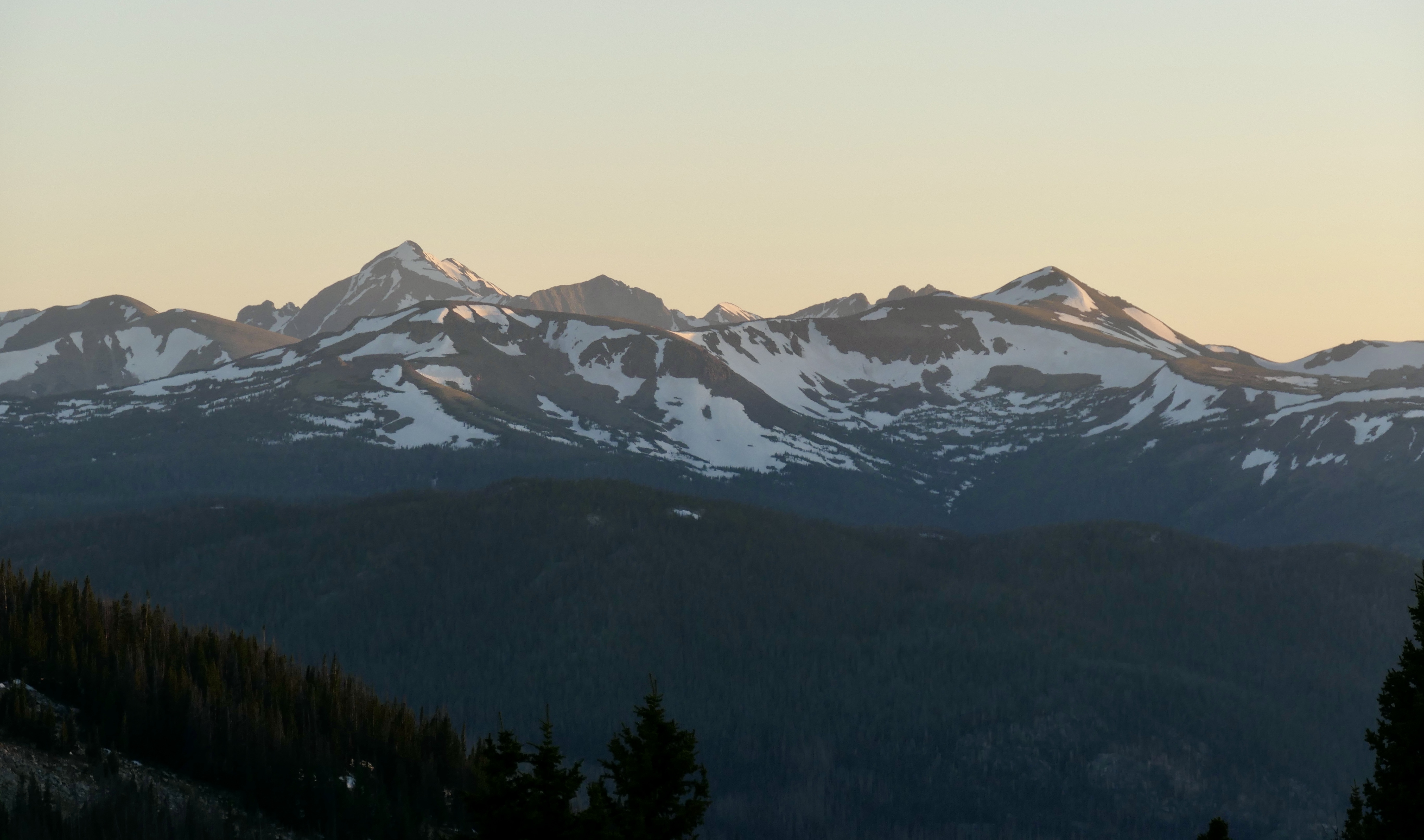
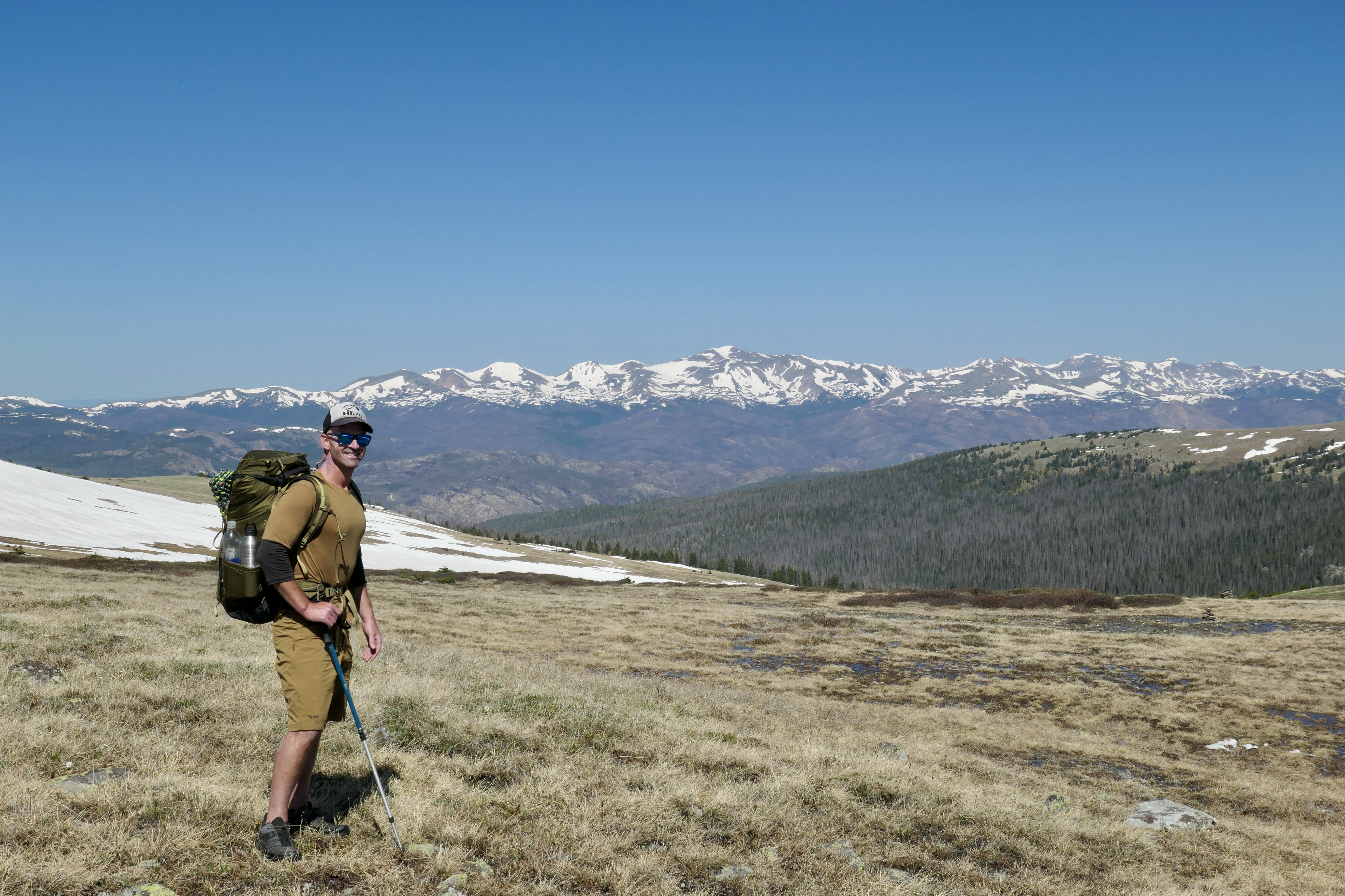
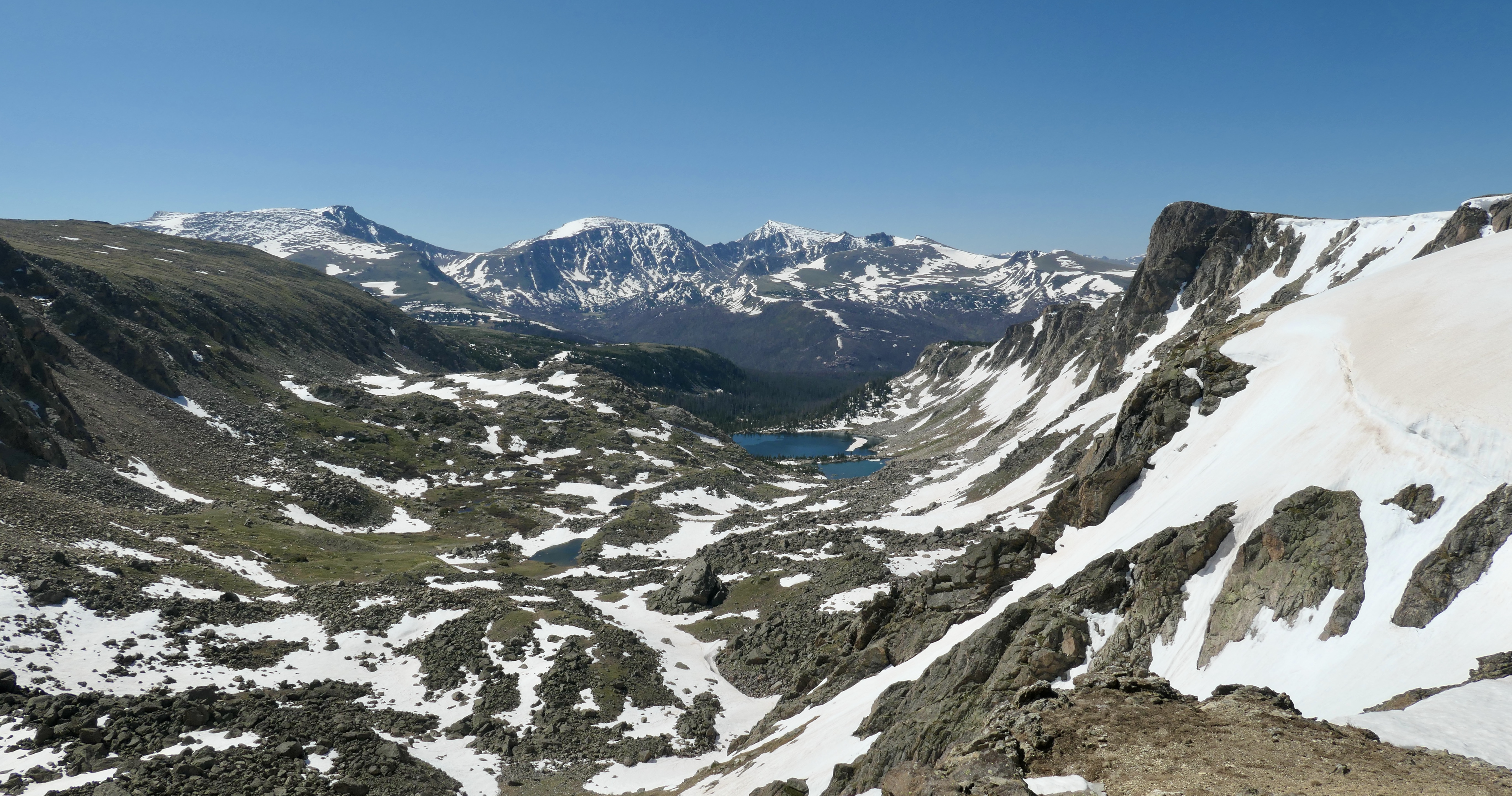
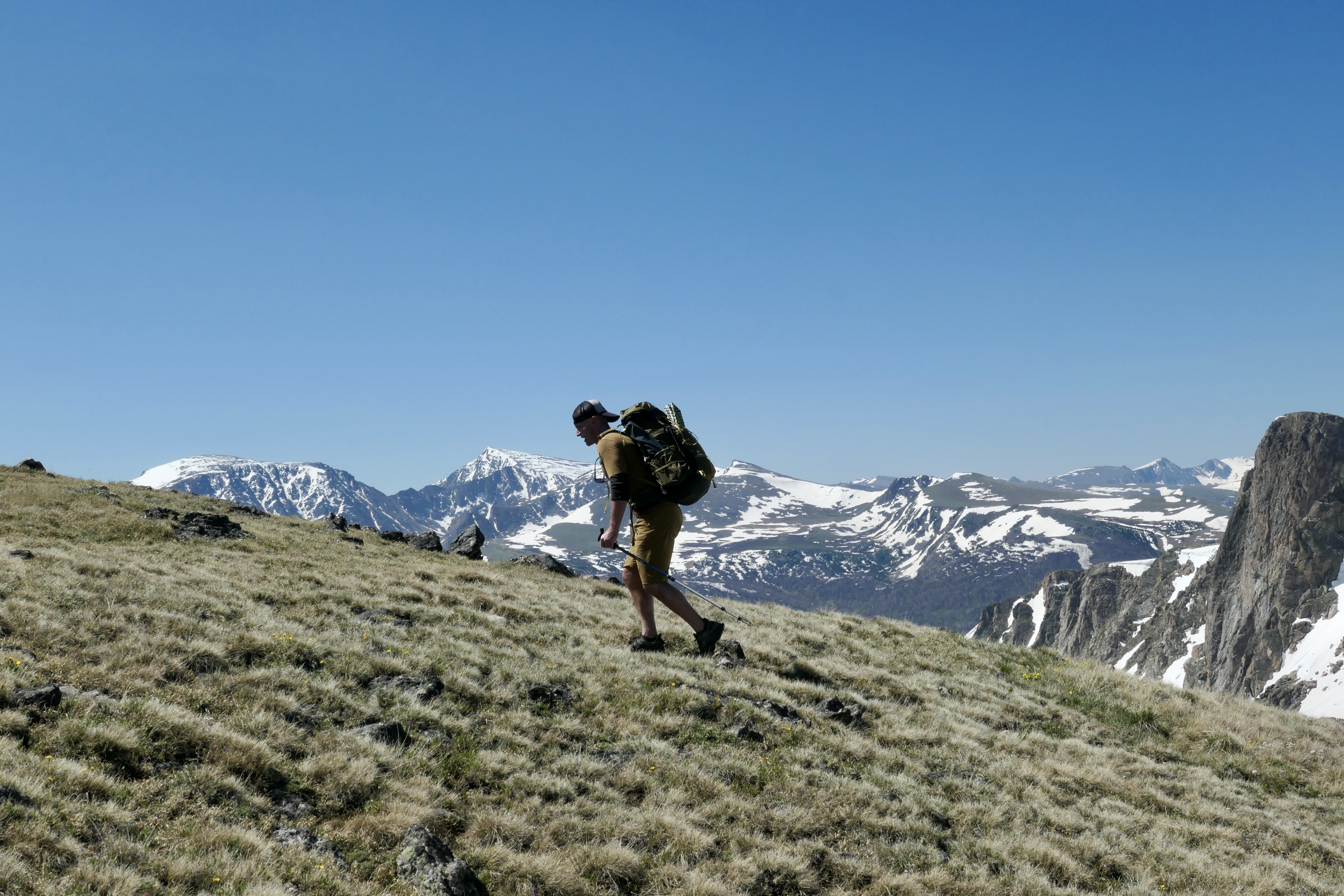
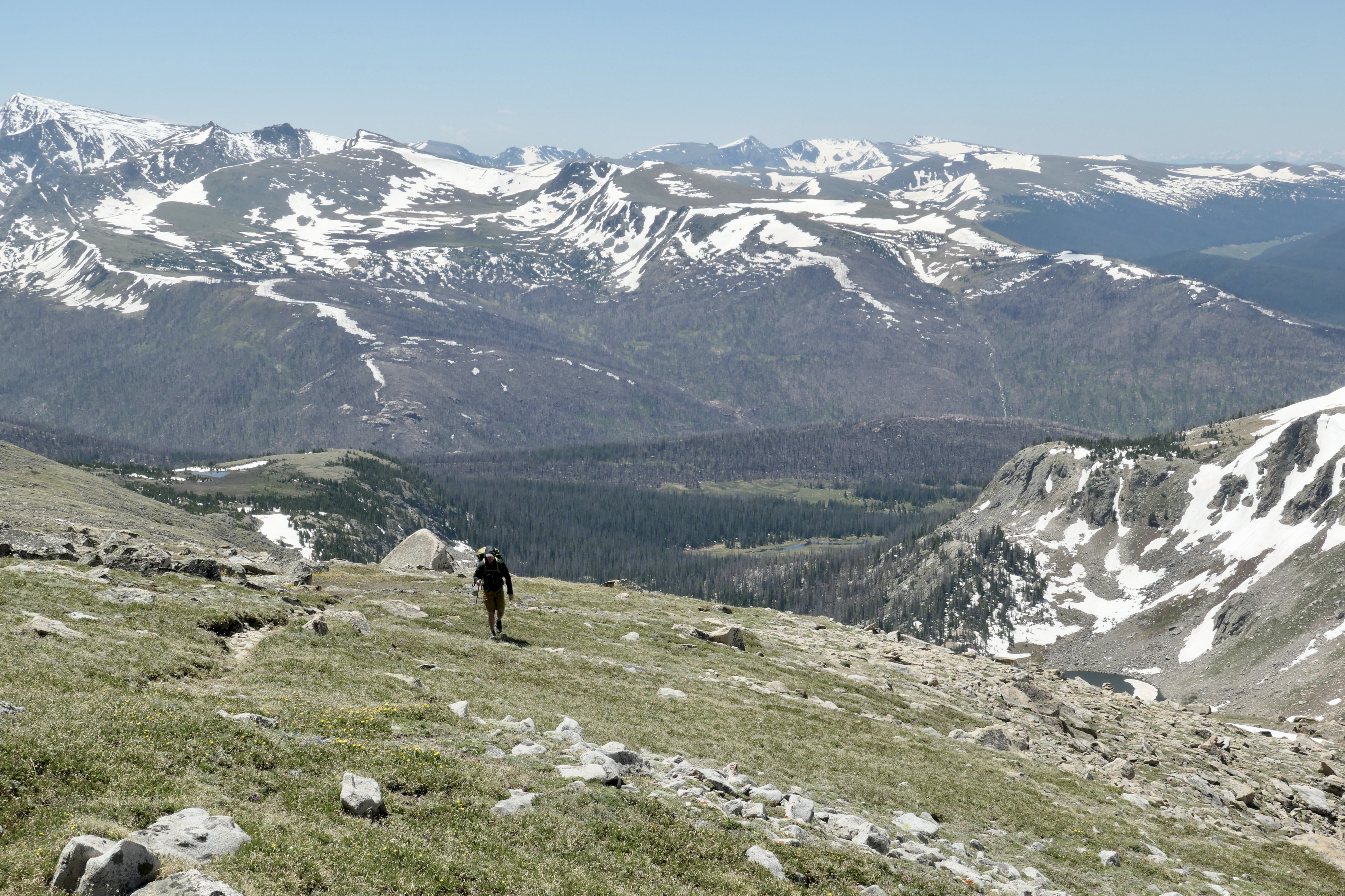
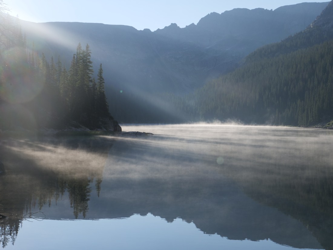
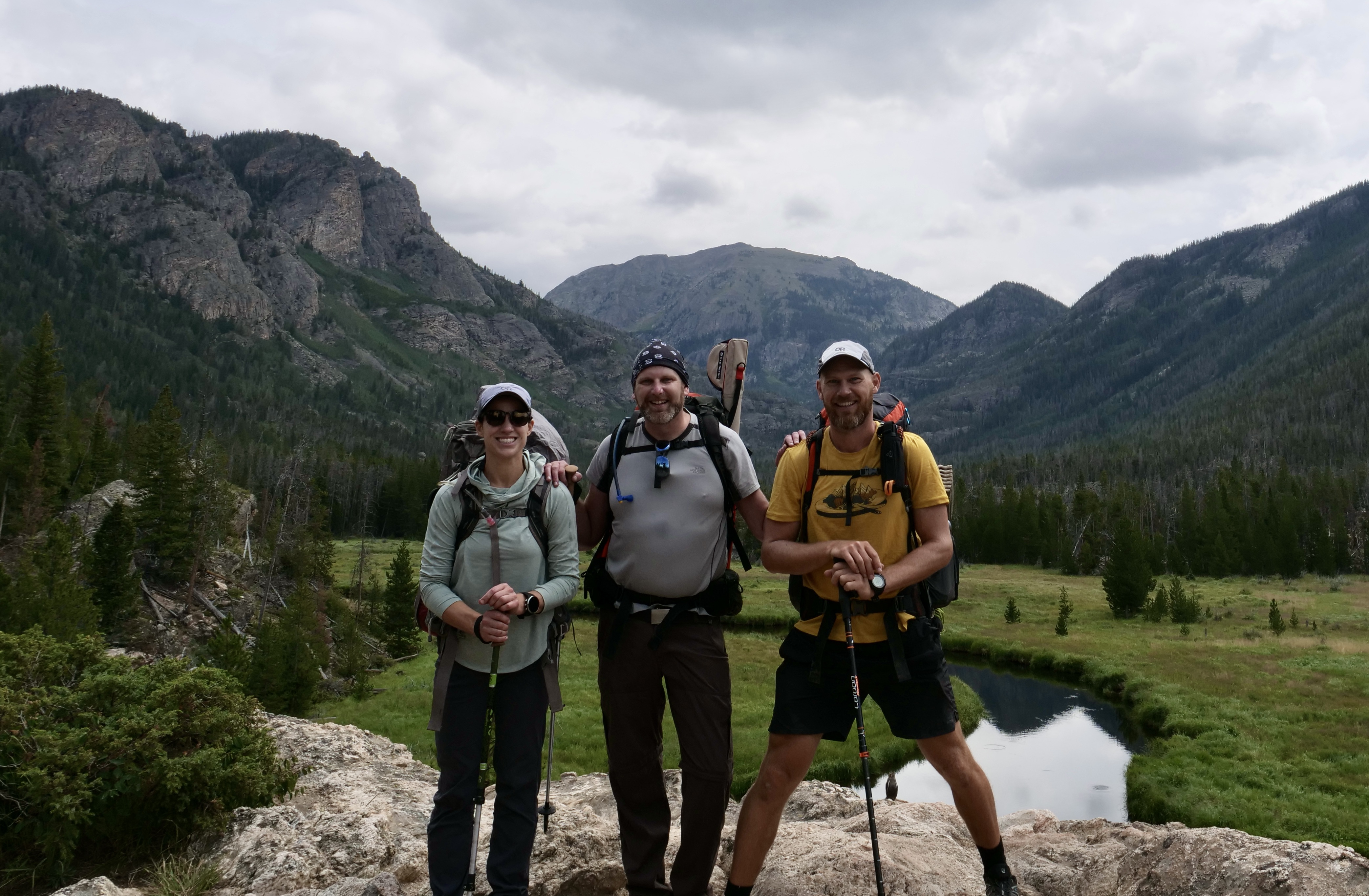
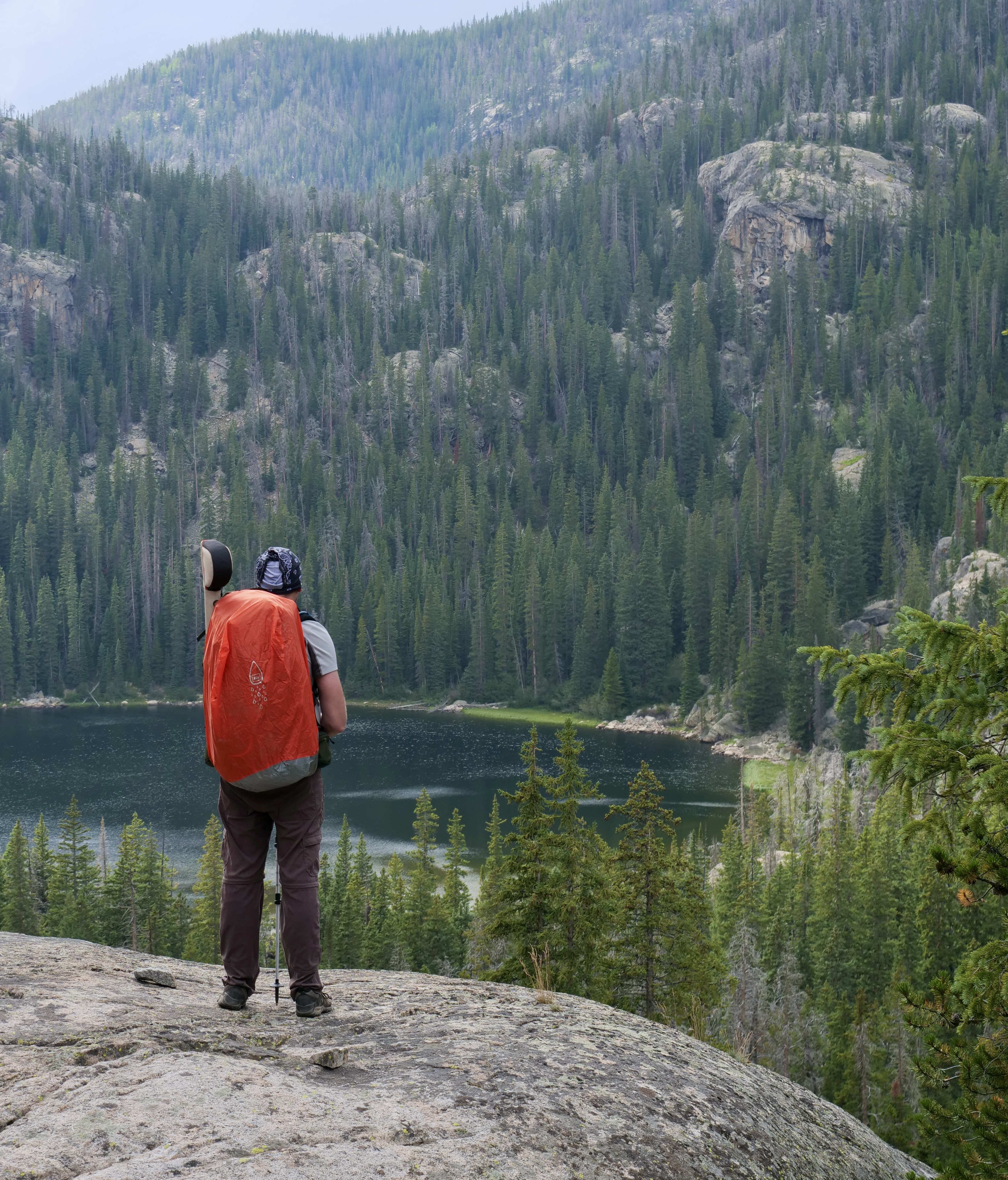
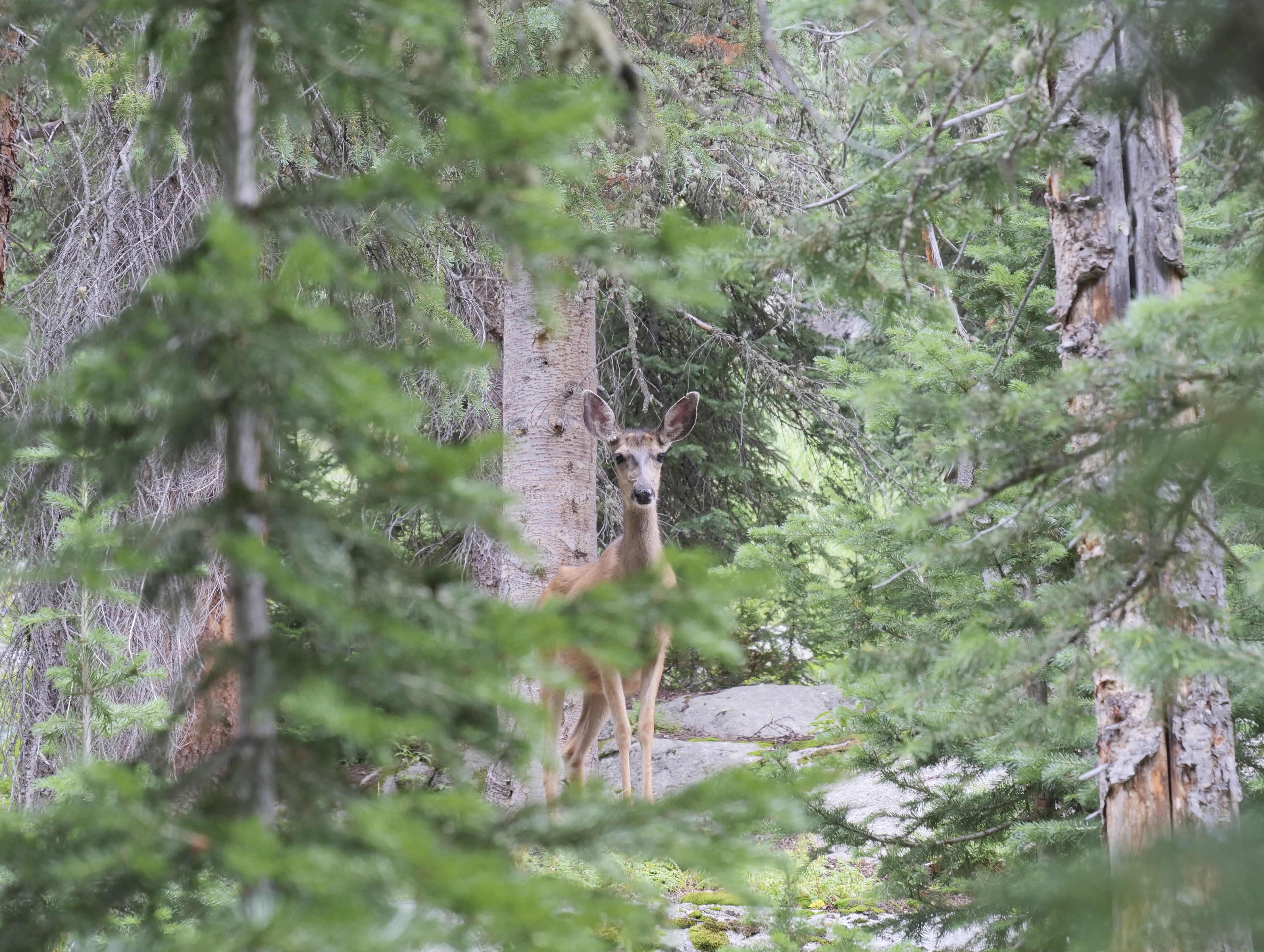
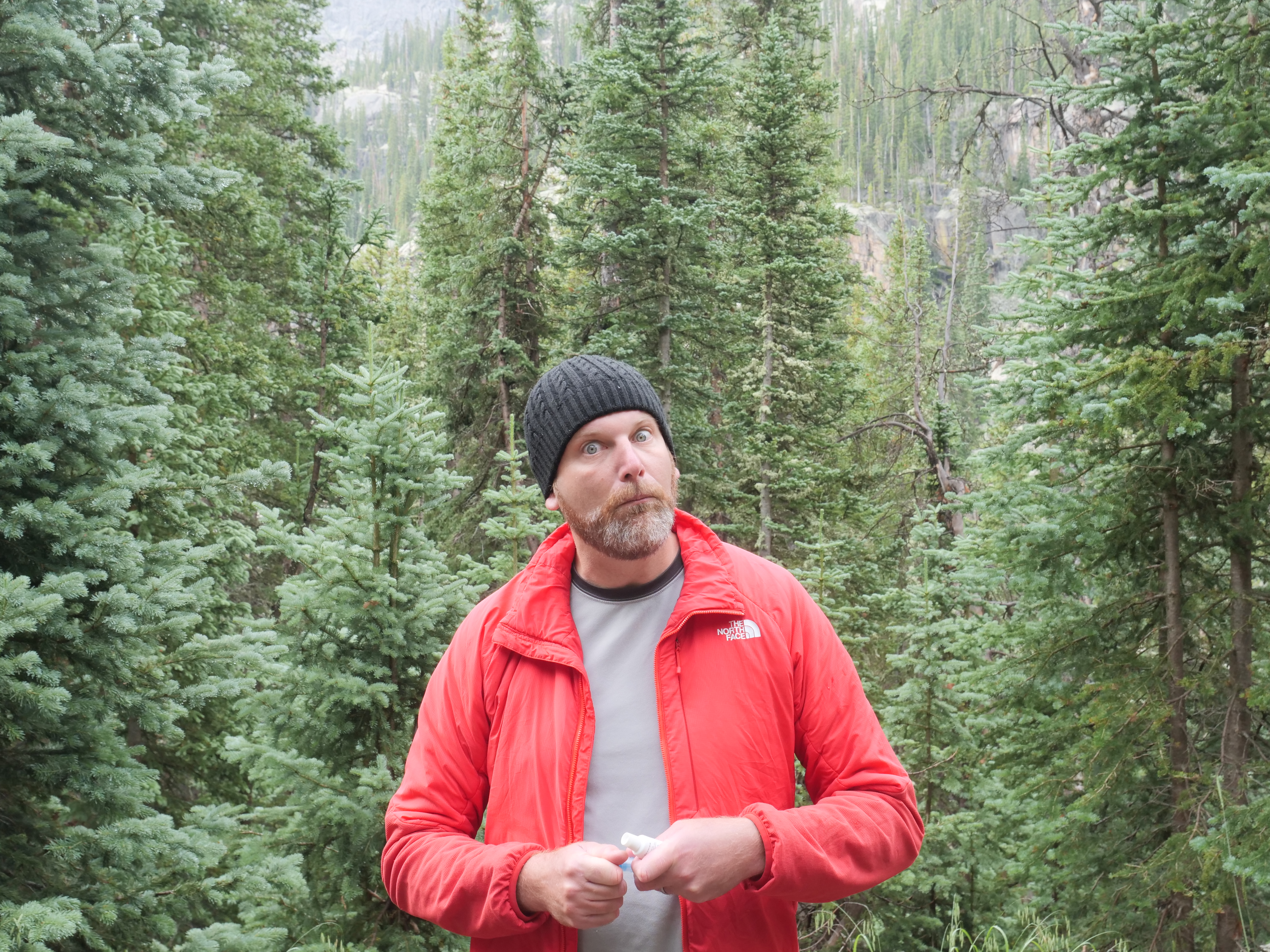
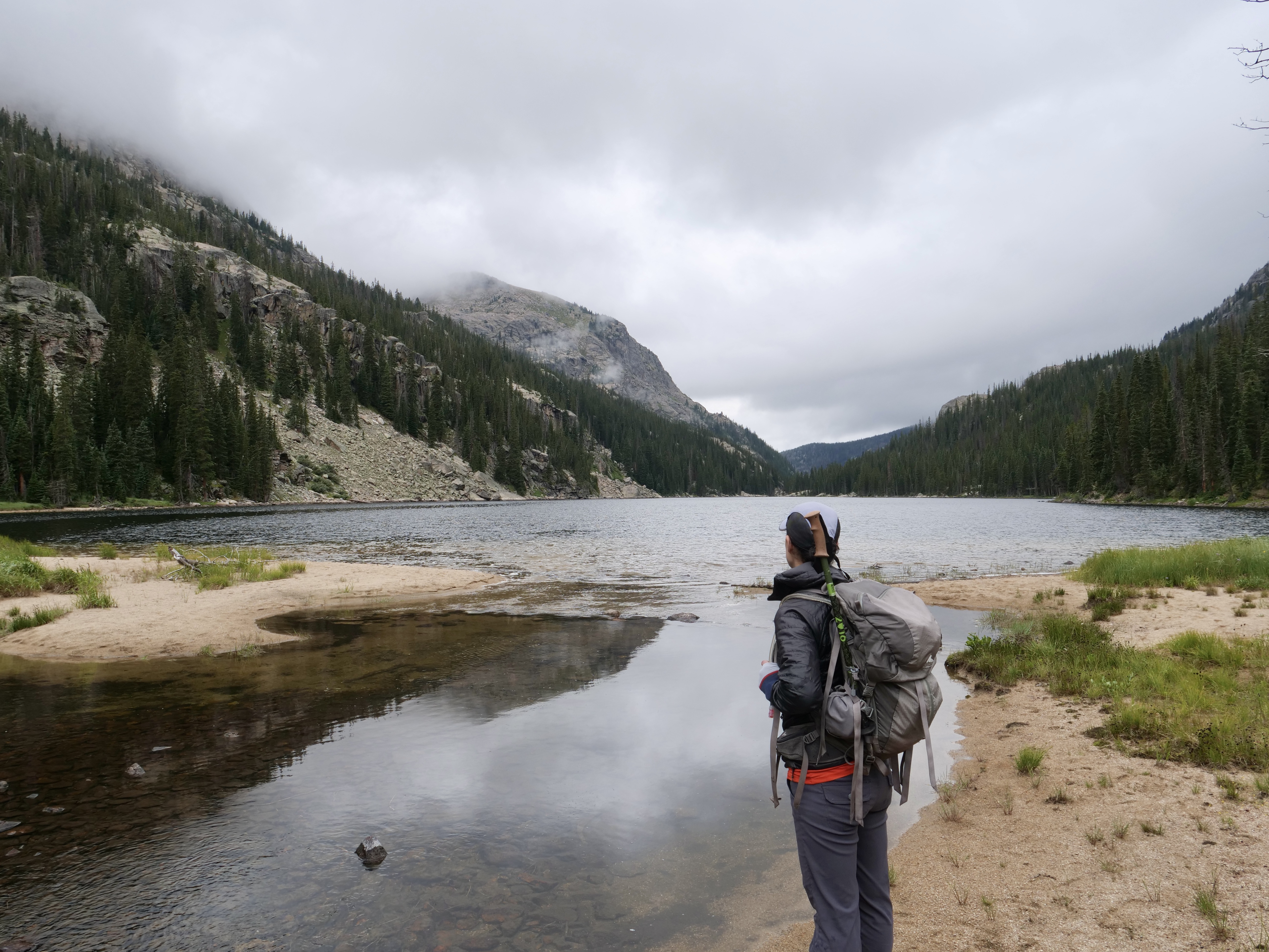
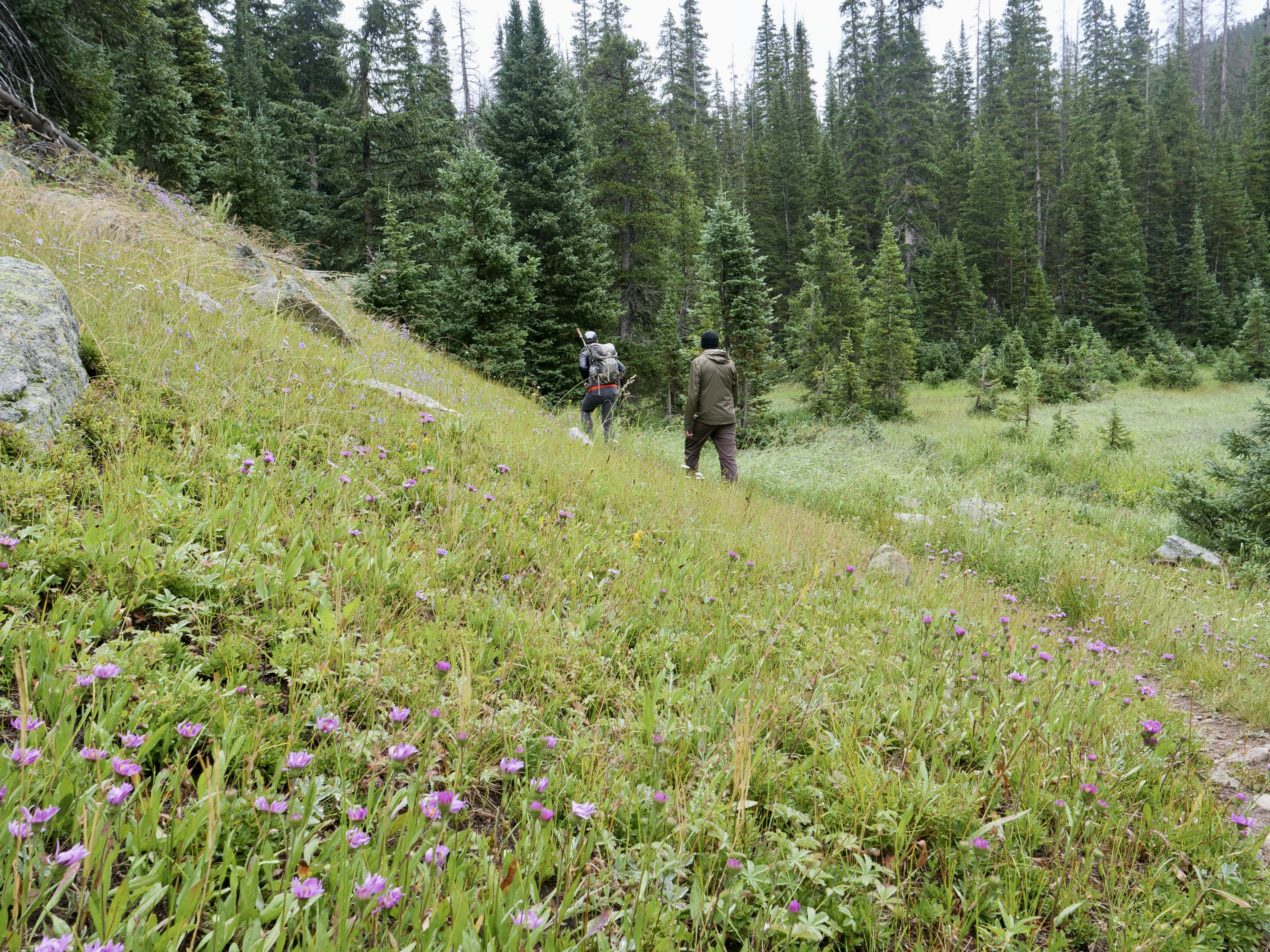
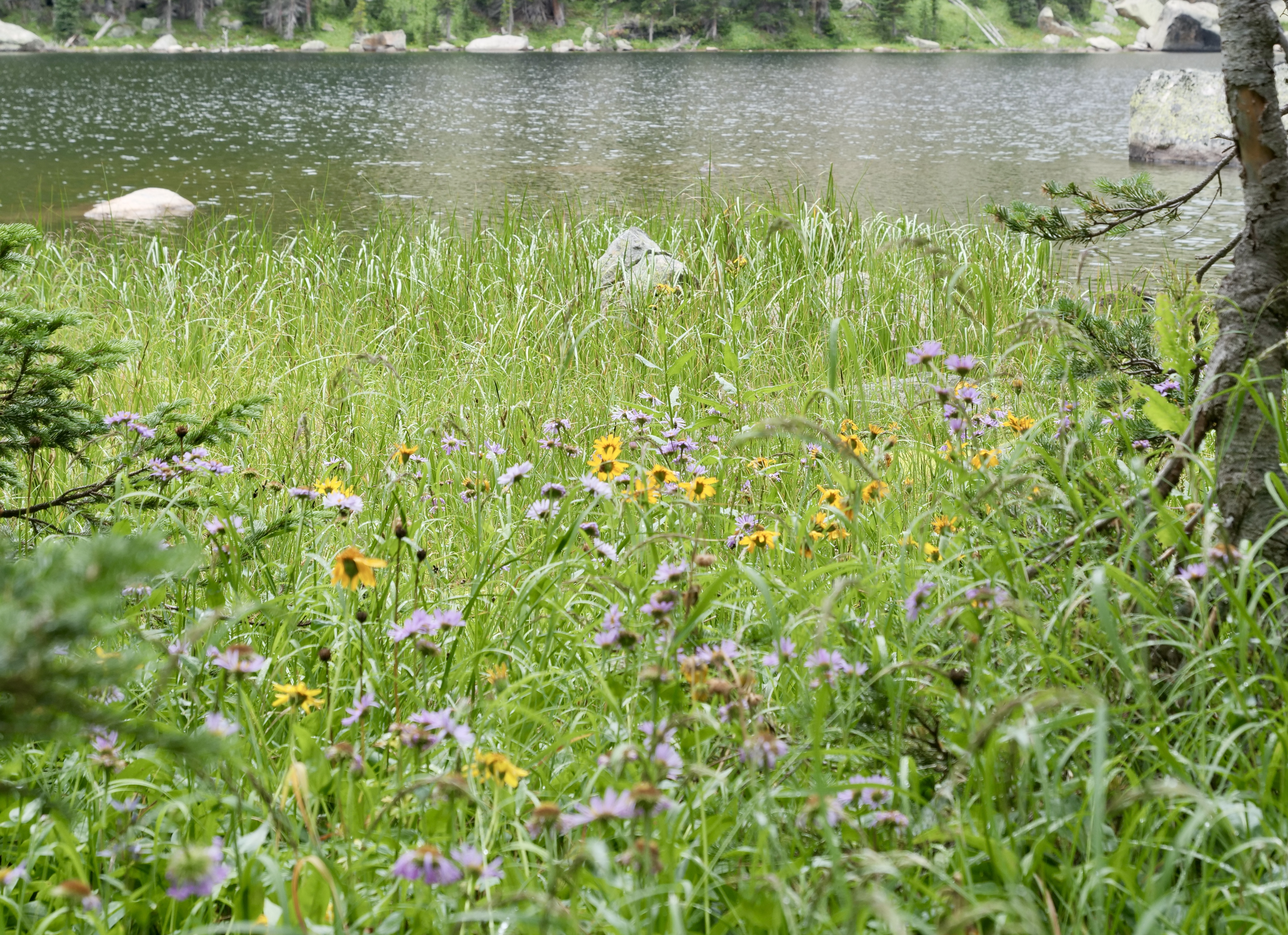
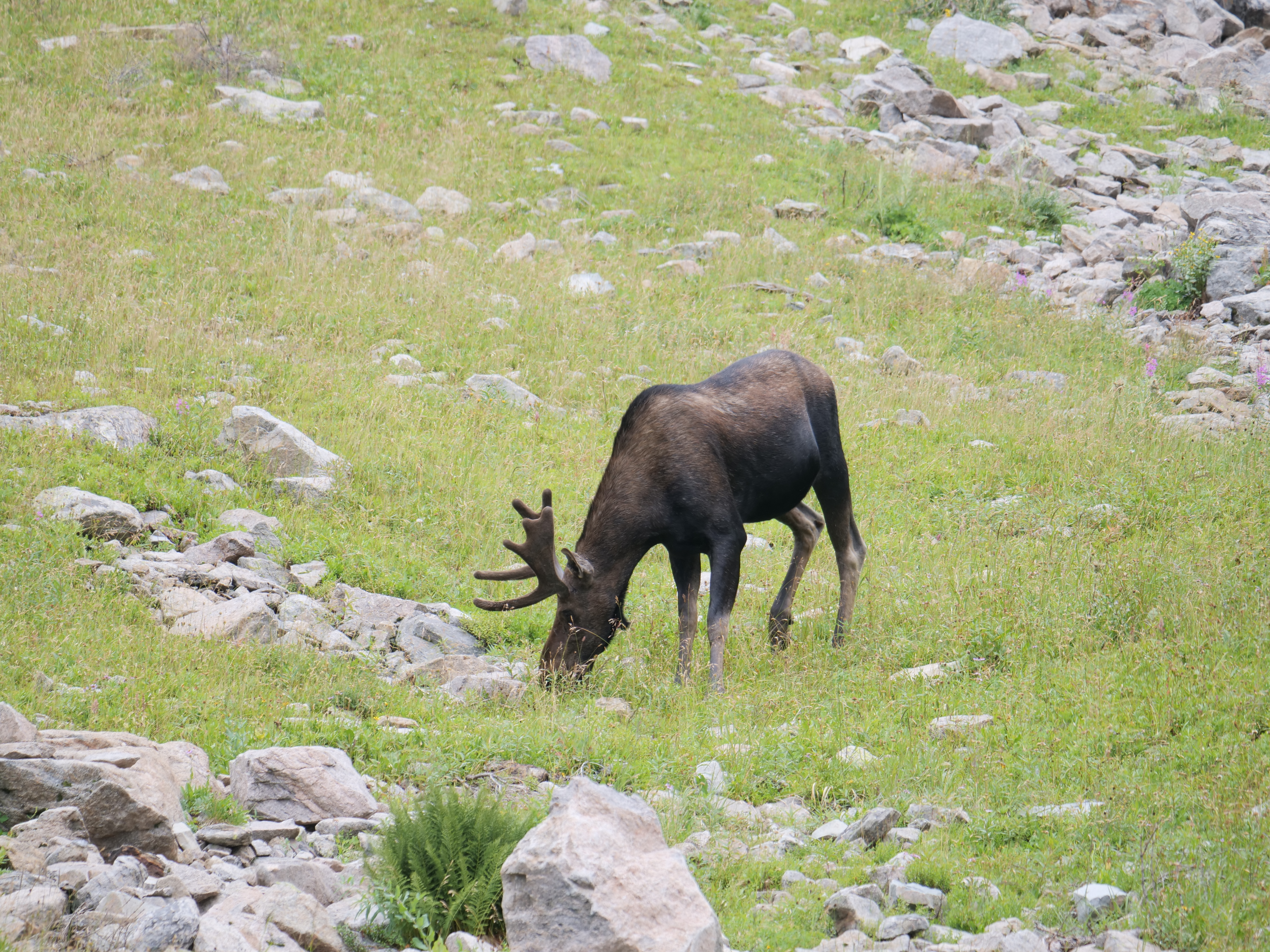
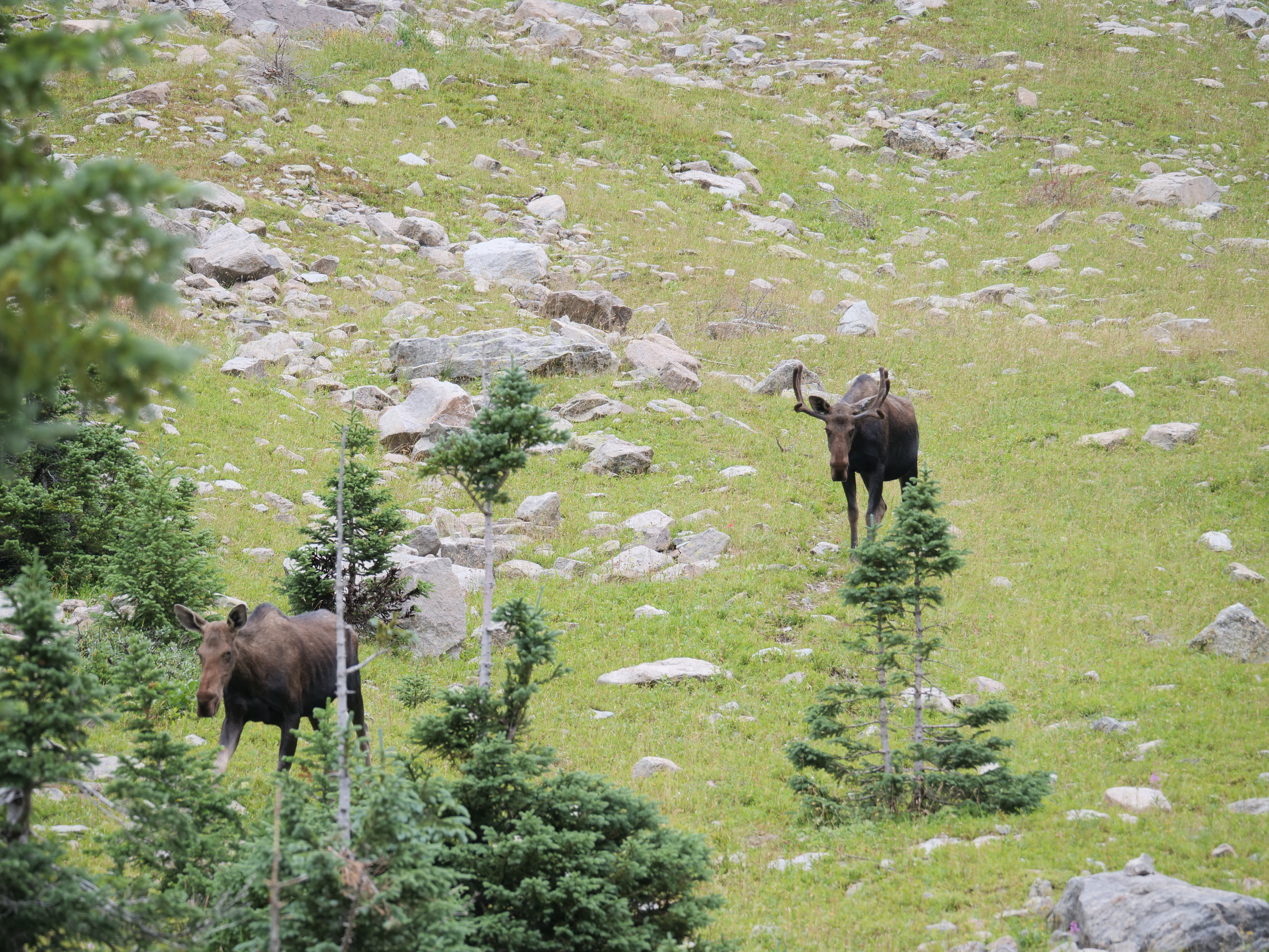
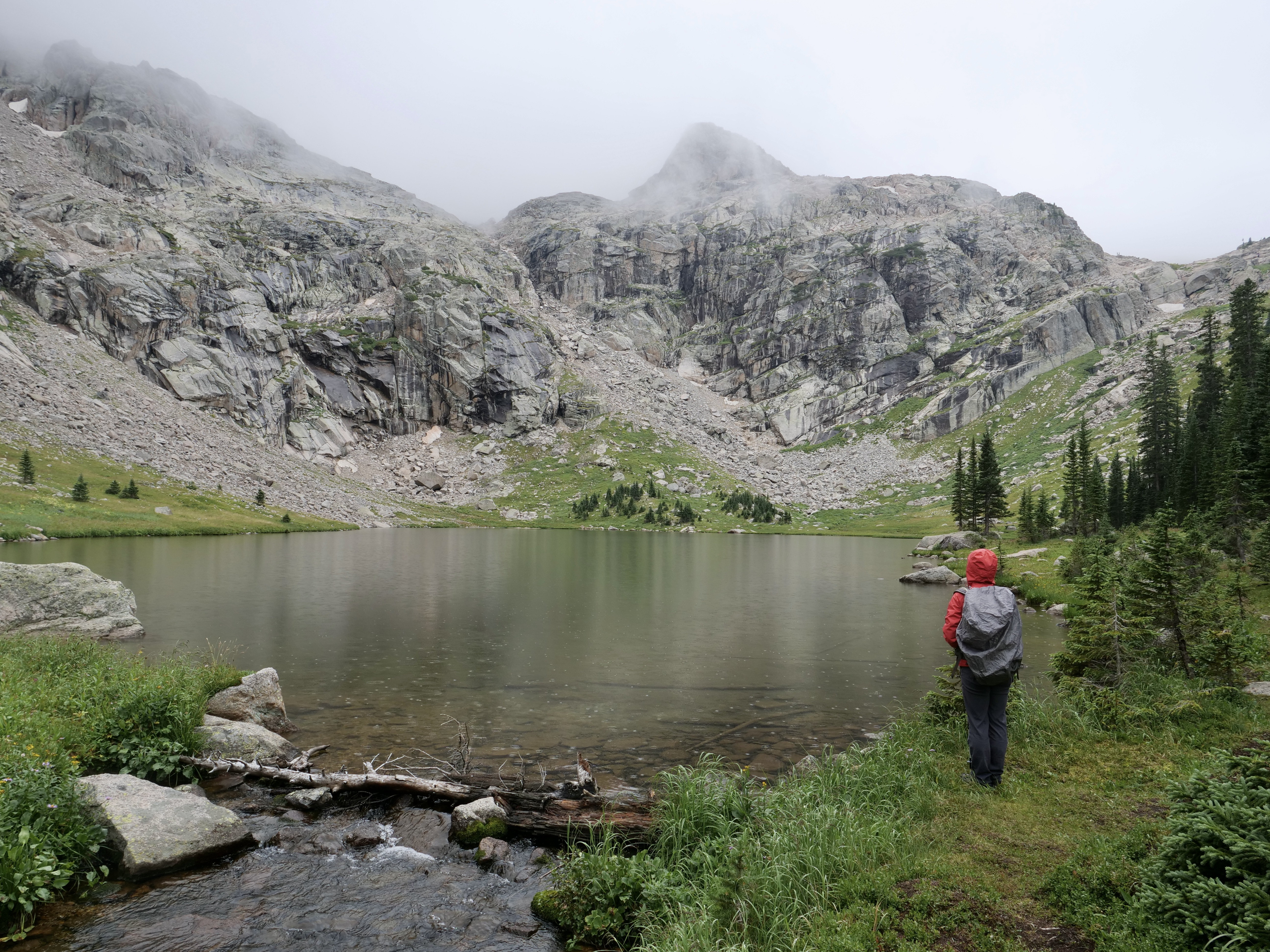
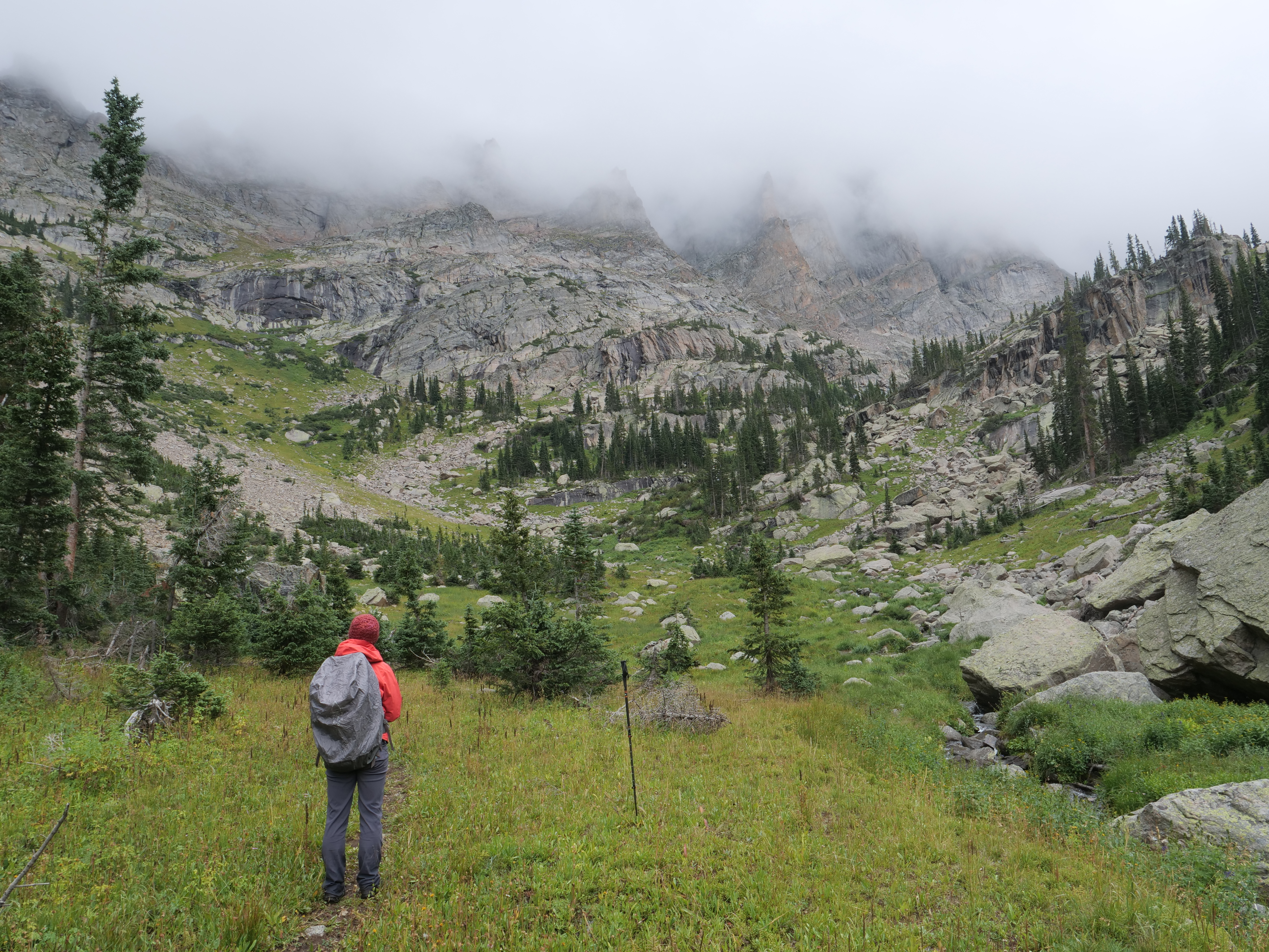
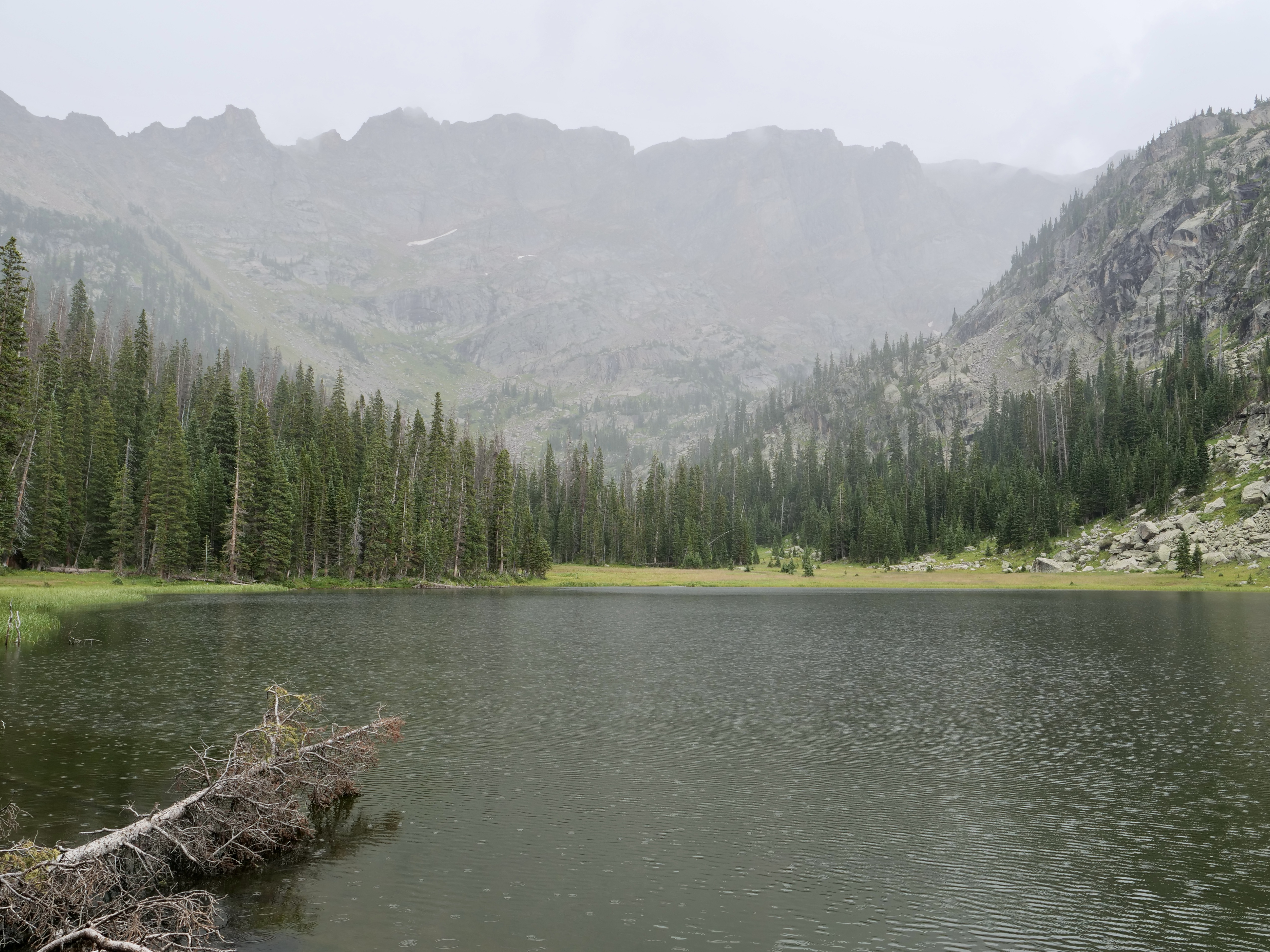
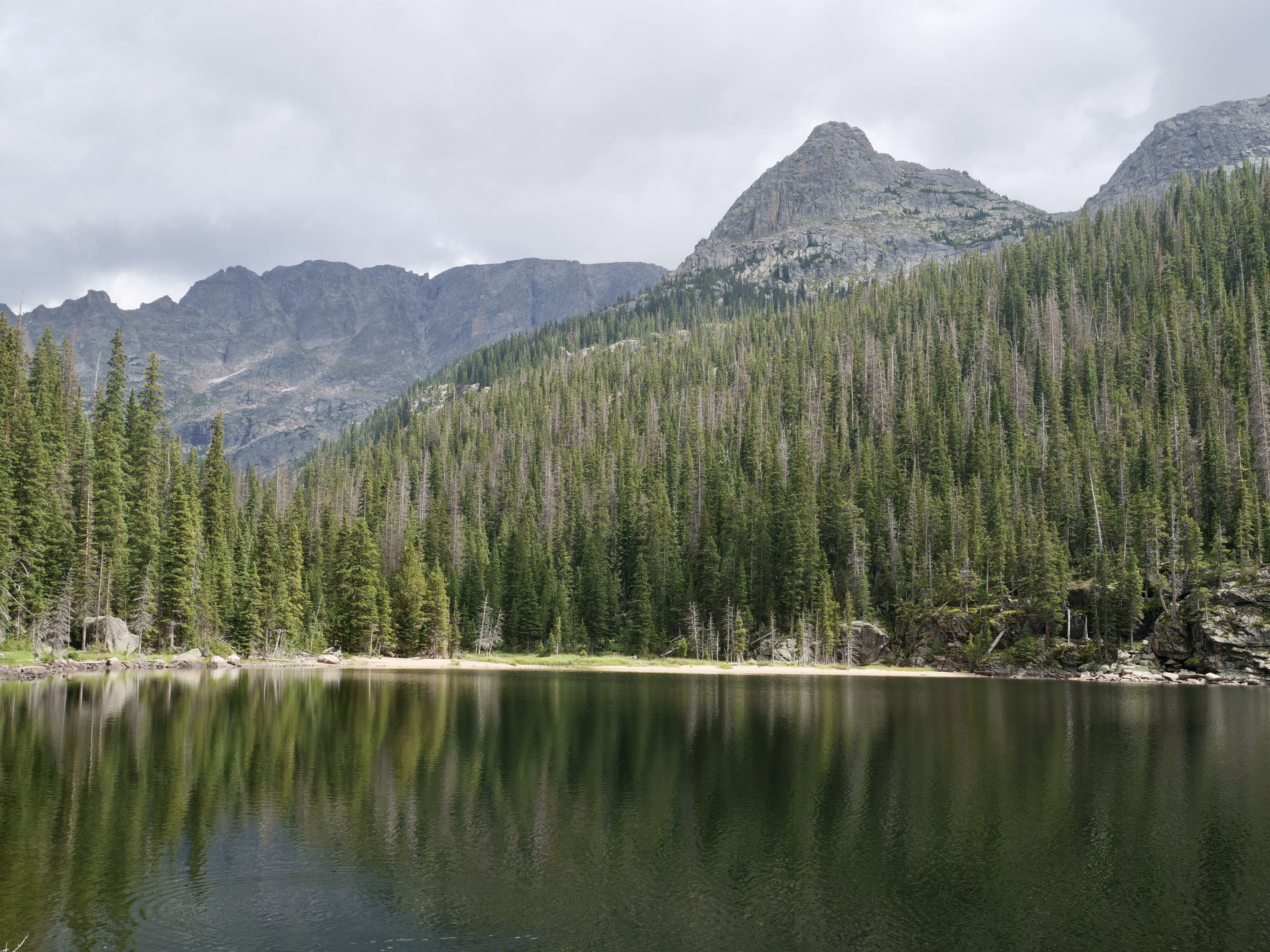
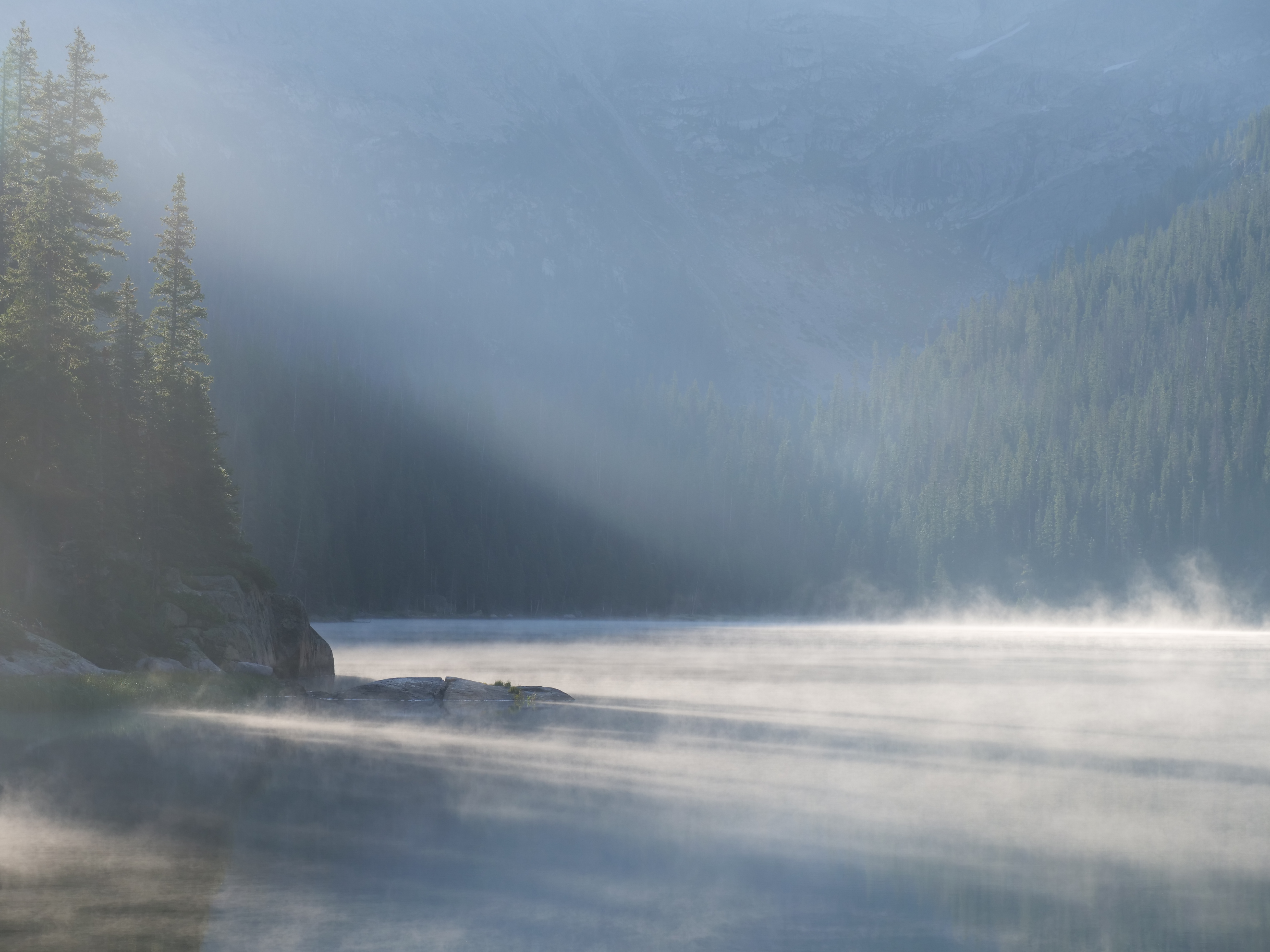
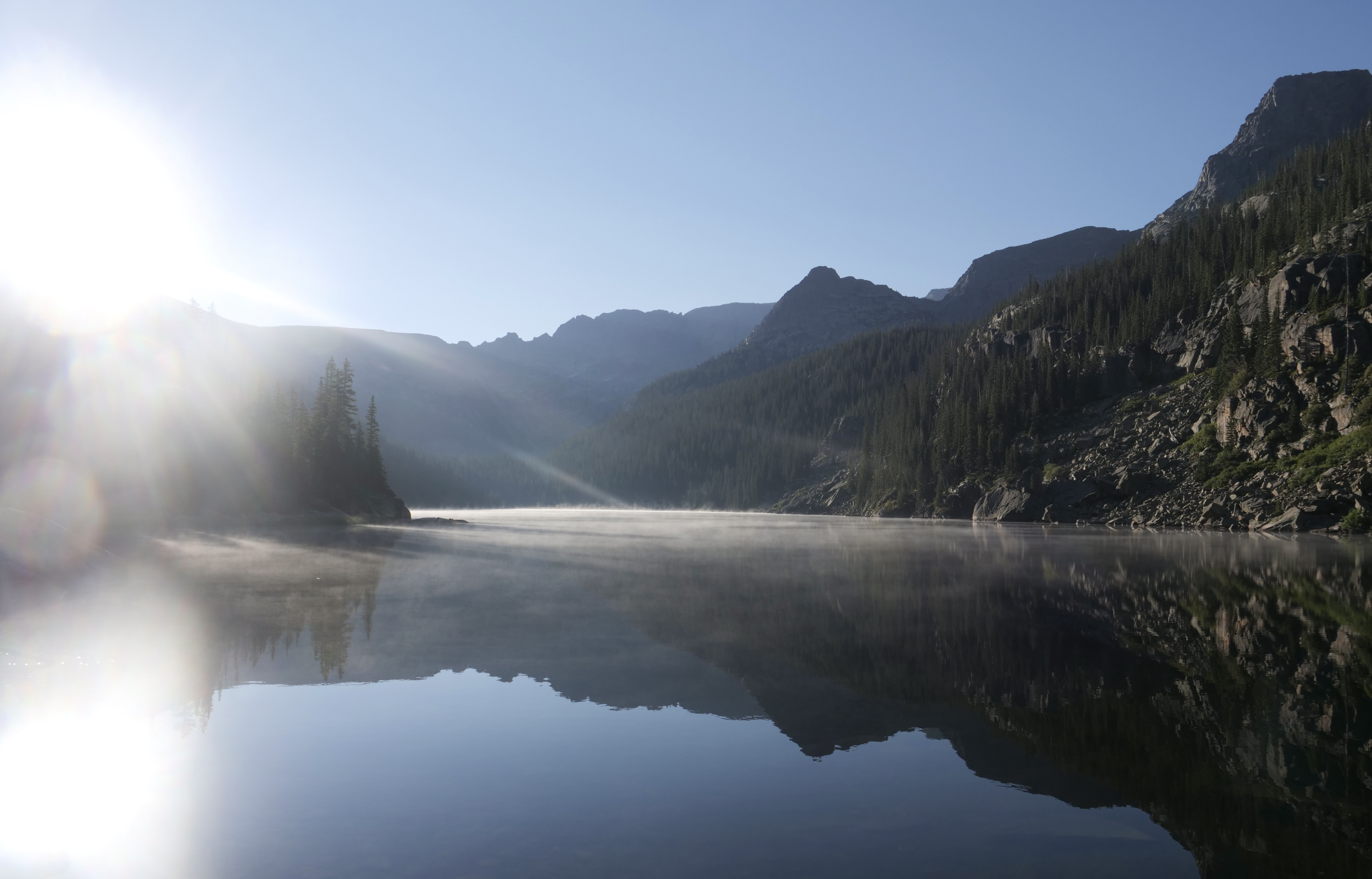
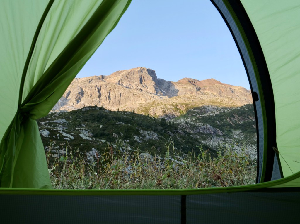
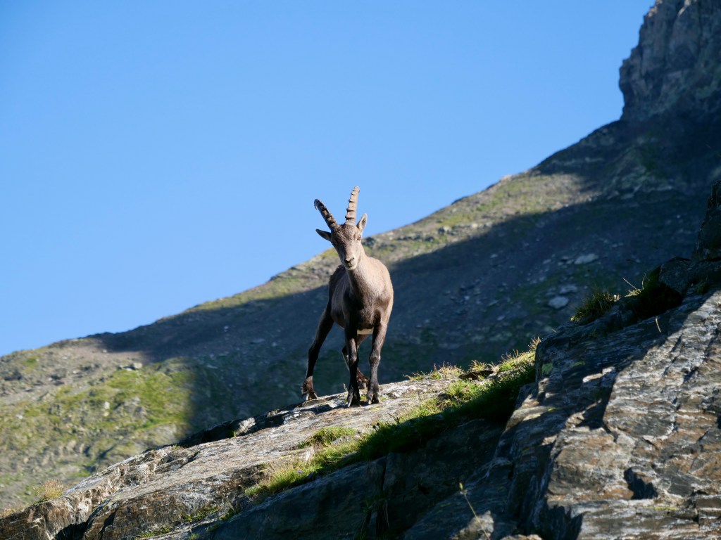
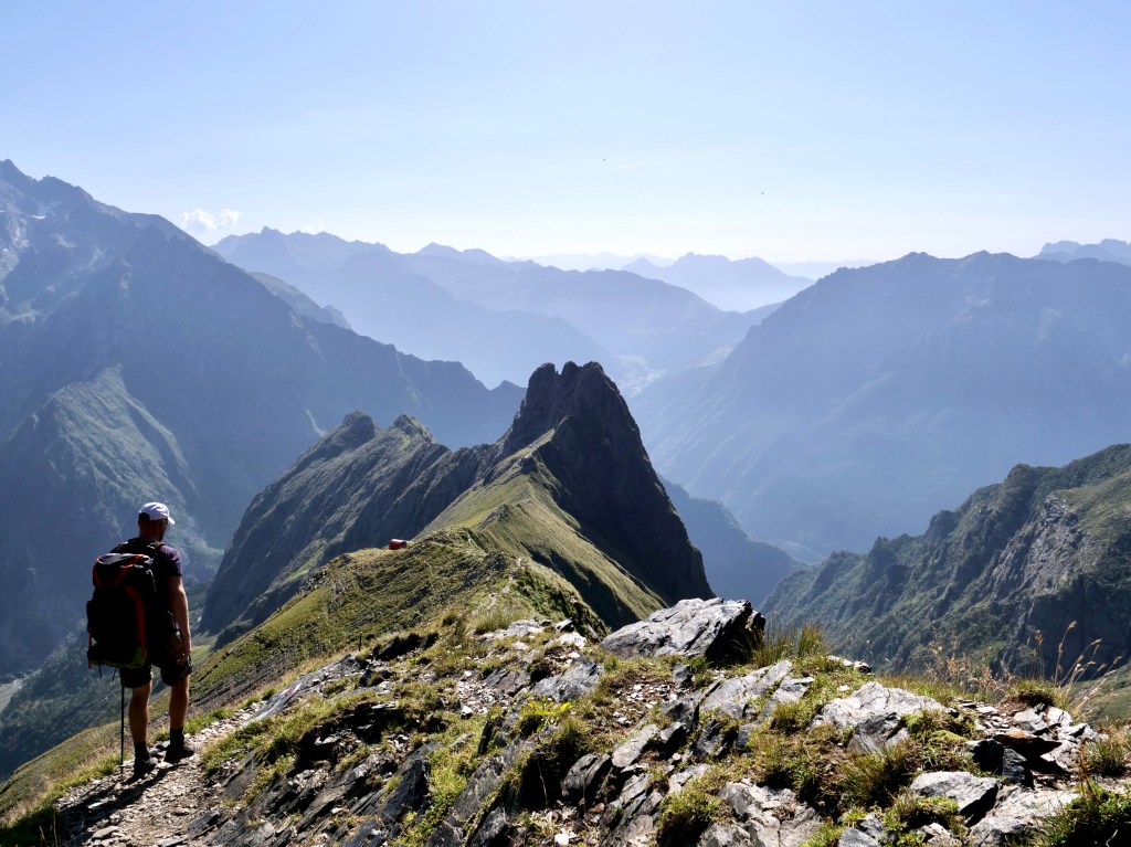
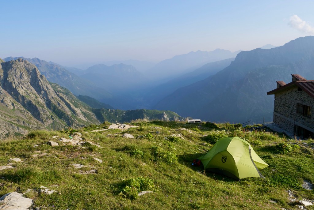
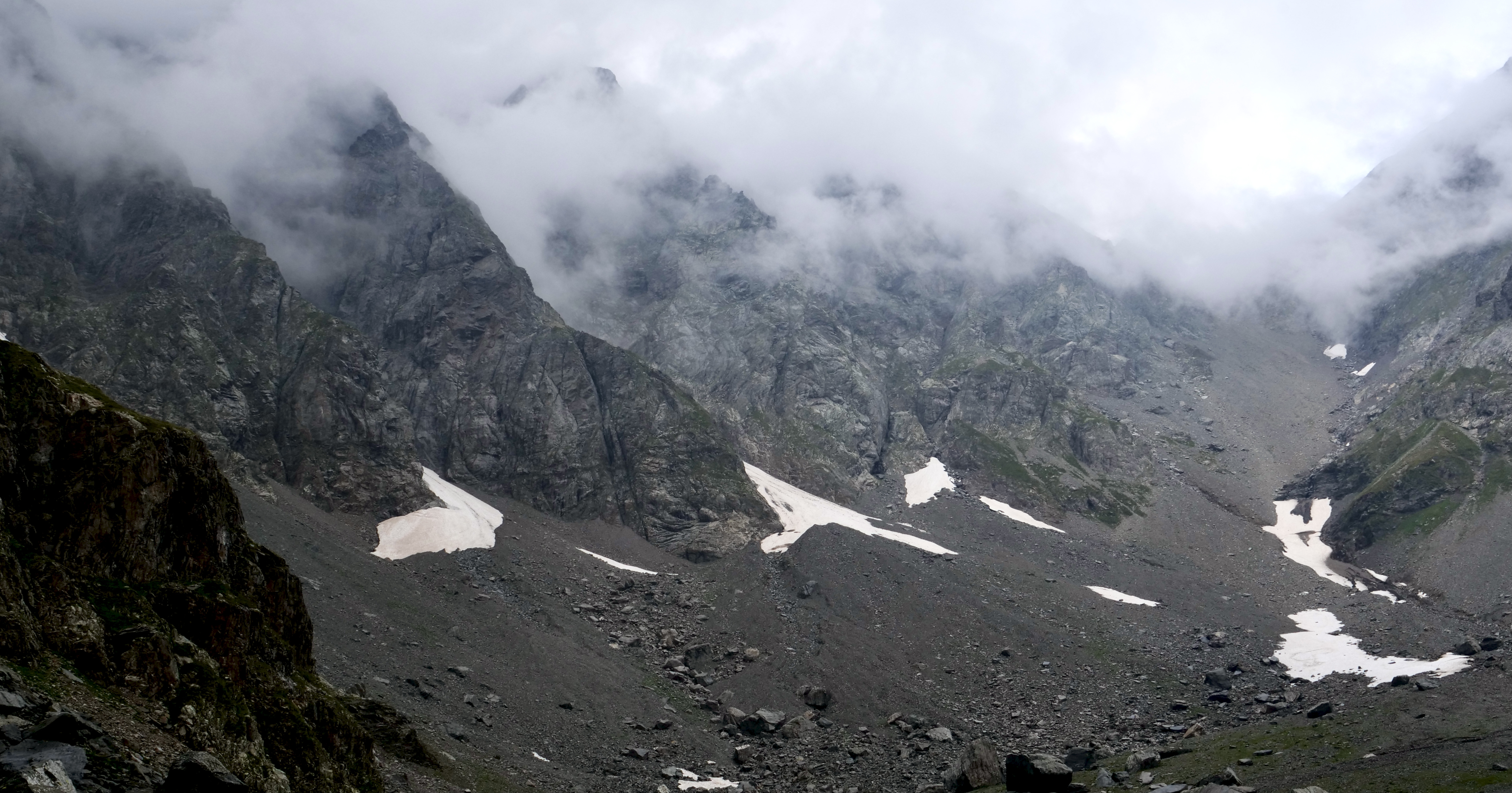
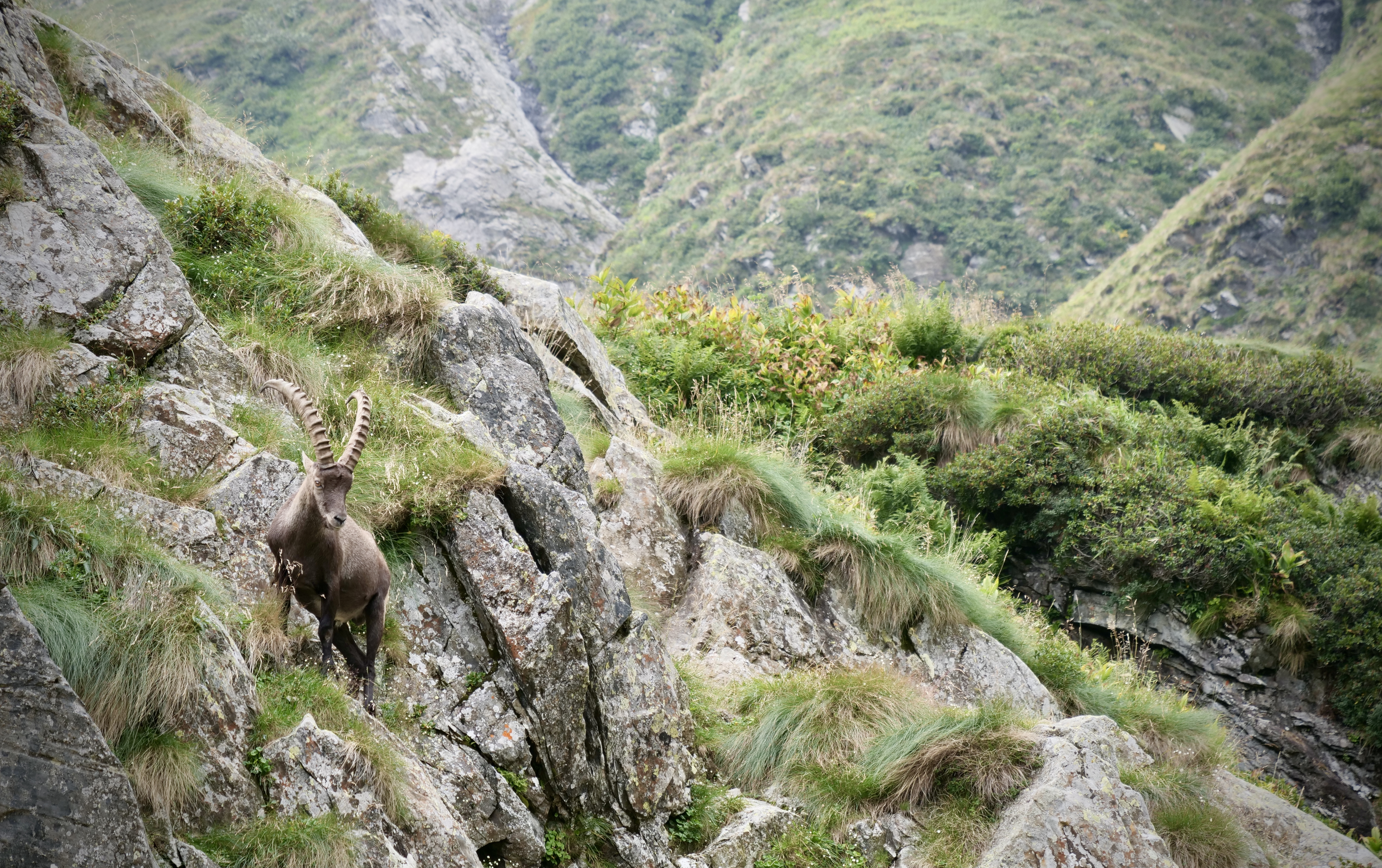
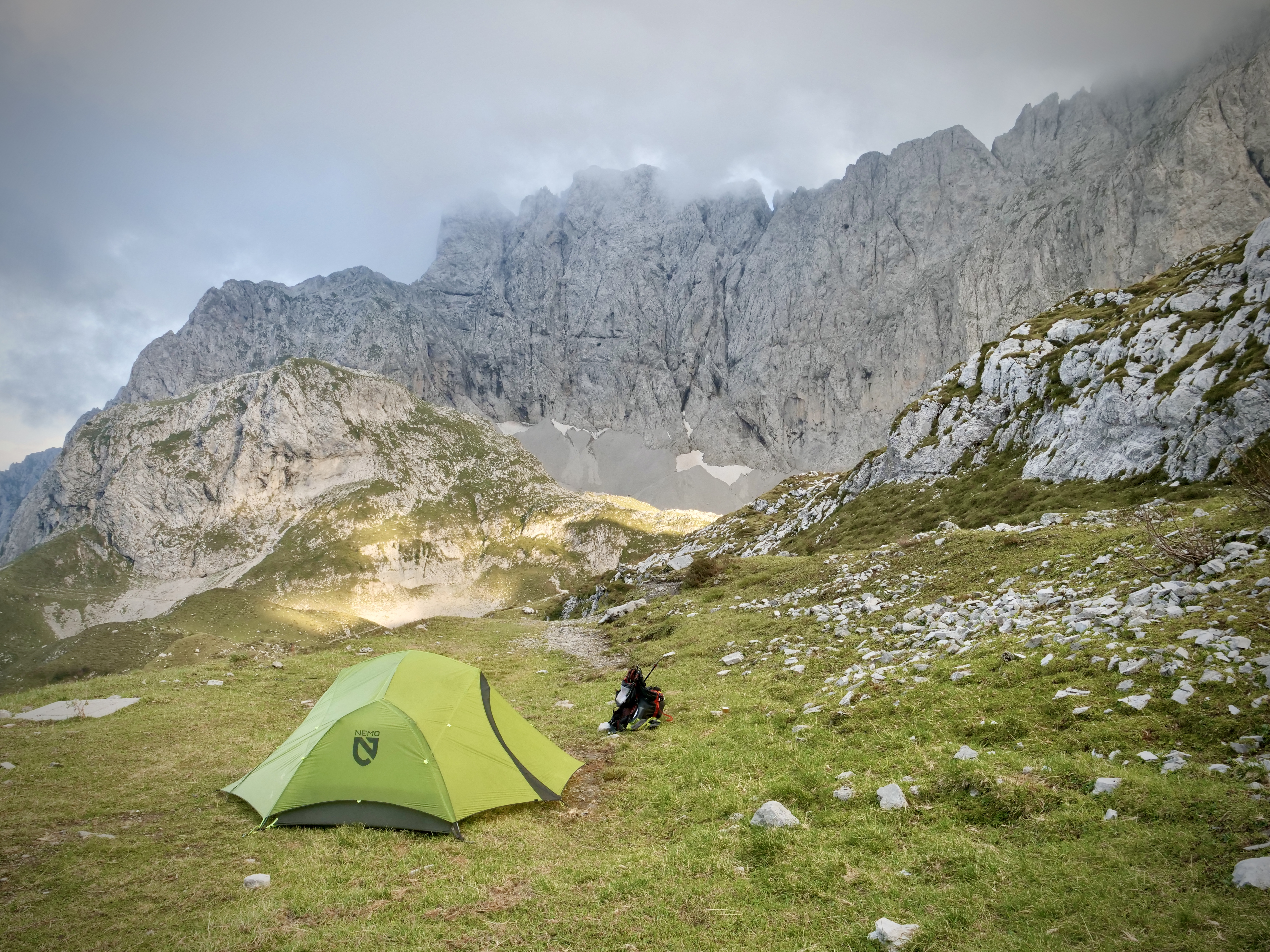
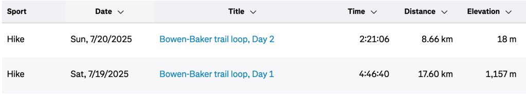
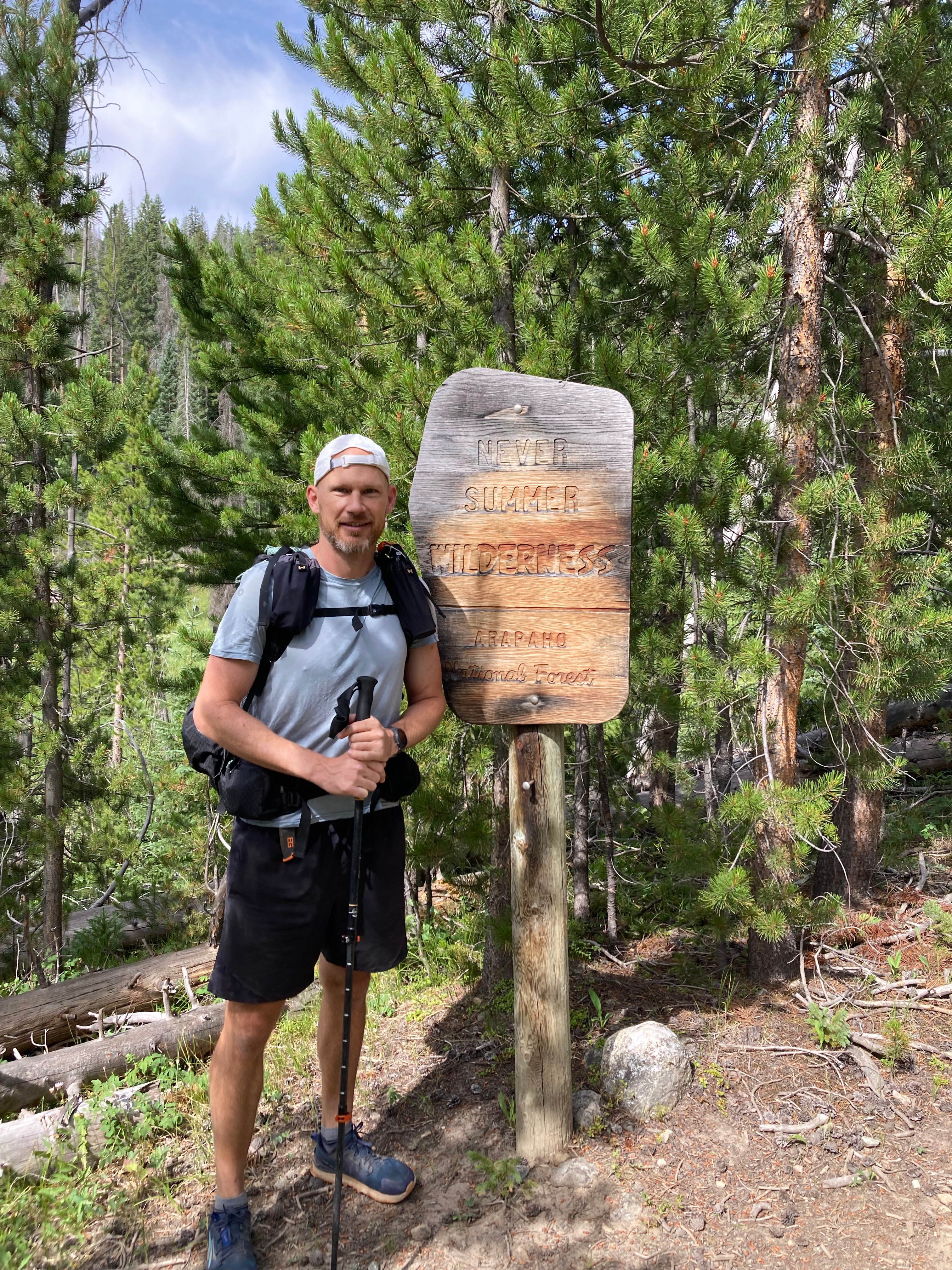
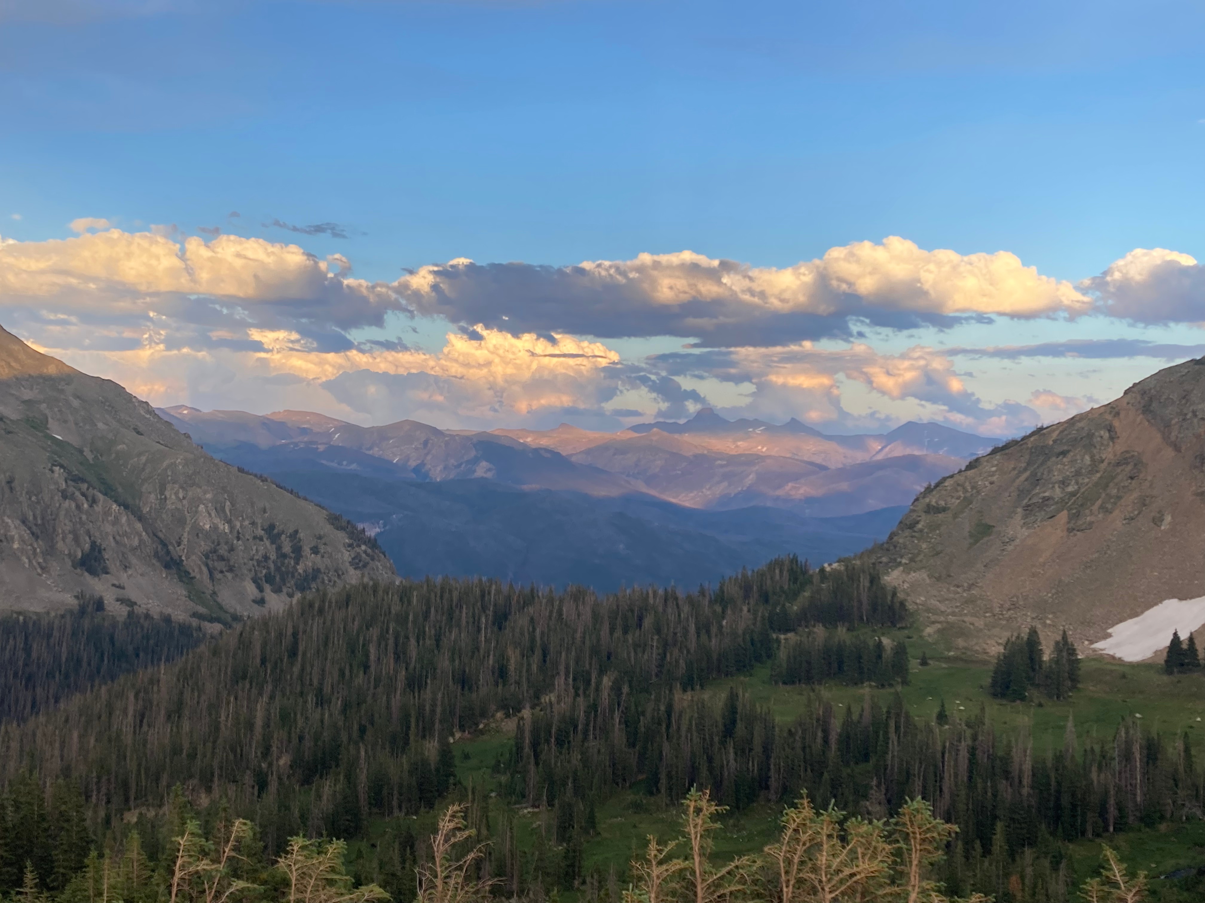
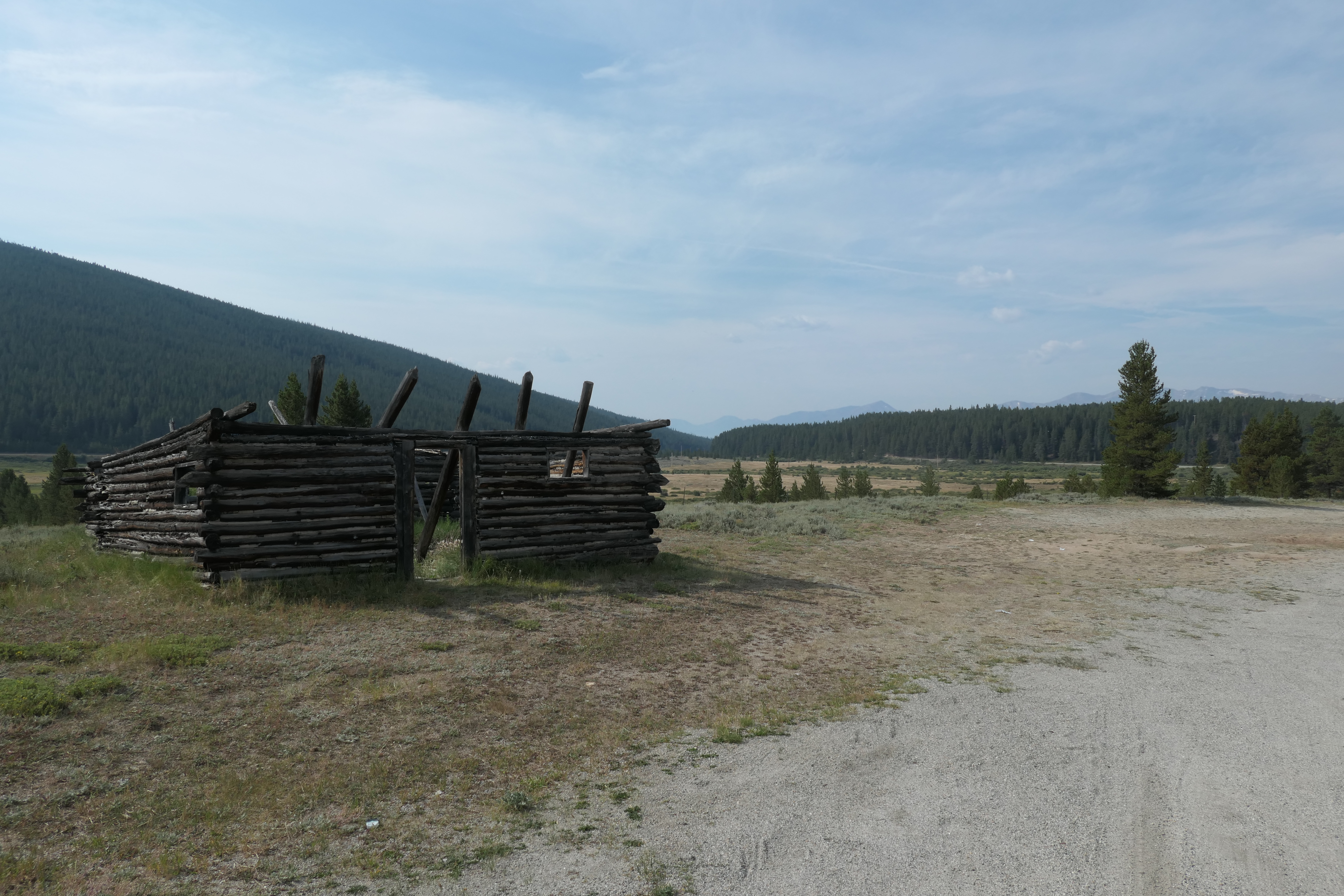
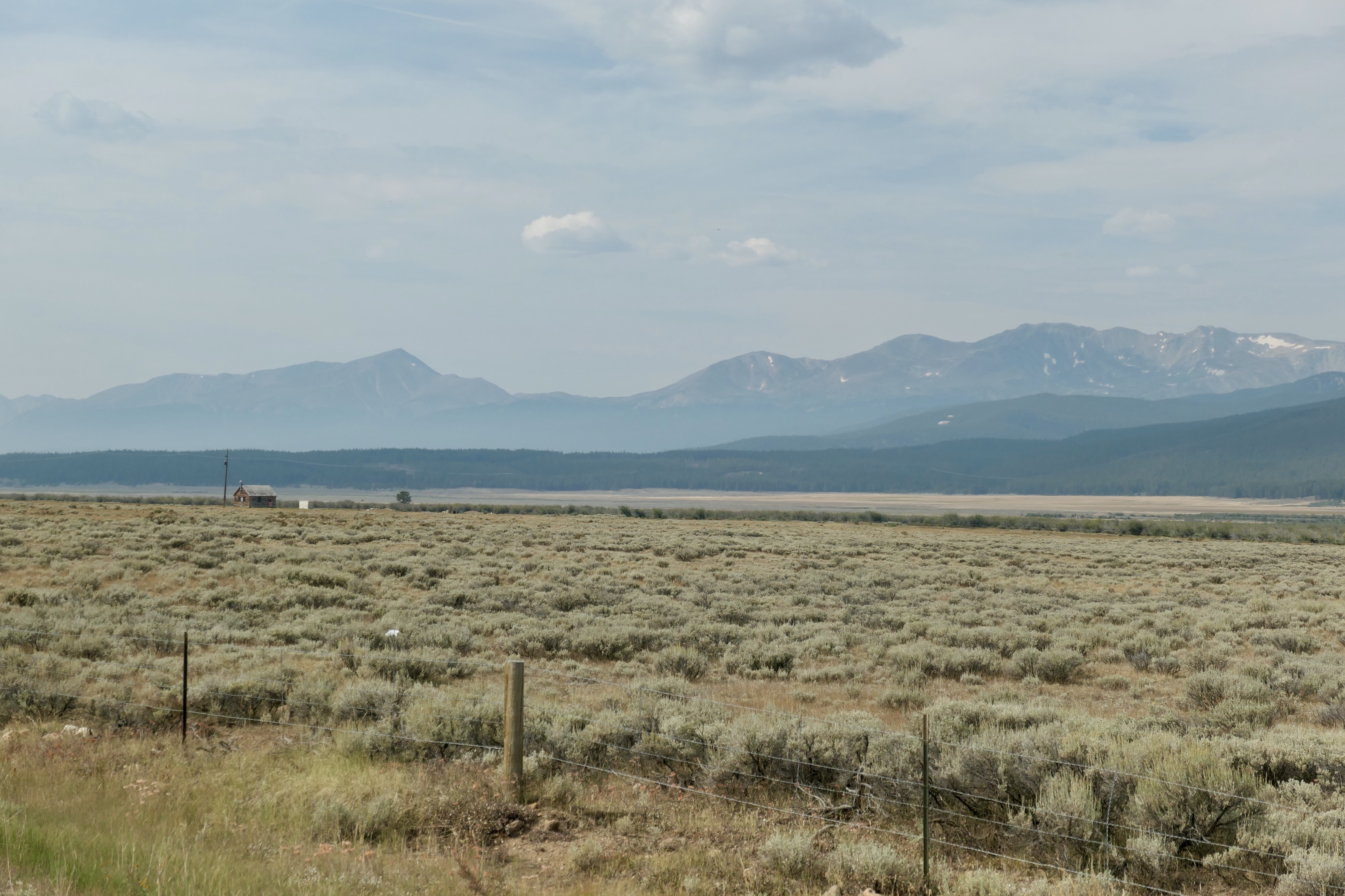
The Never Summer Wilderness, backpacking overnighter
The Never Summer Wilderness borders Rocky Mountain National Park to the north west. The East side of those mountains are part of the national park. I went there for an overnighter with my buddy Josh (who’s famously known for previous posts). This place was always on my list of places to go, and it didn’t disappoint.
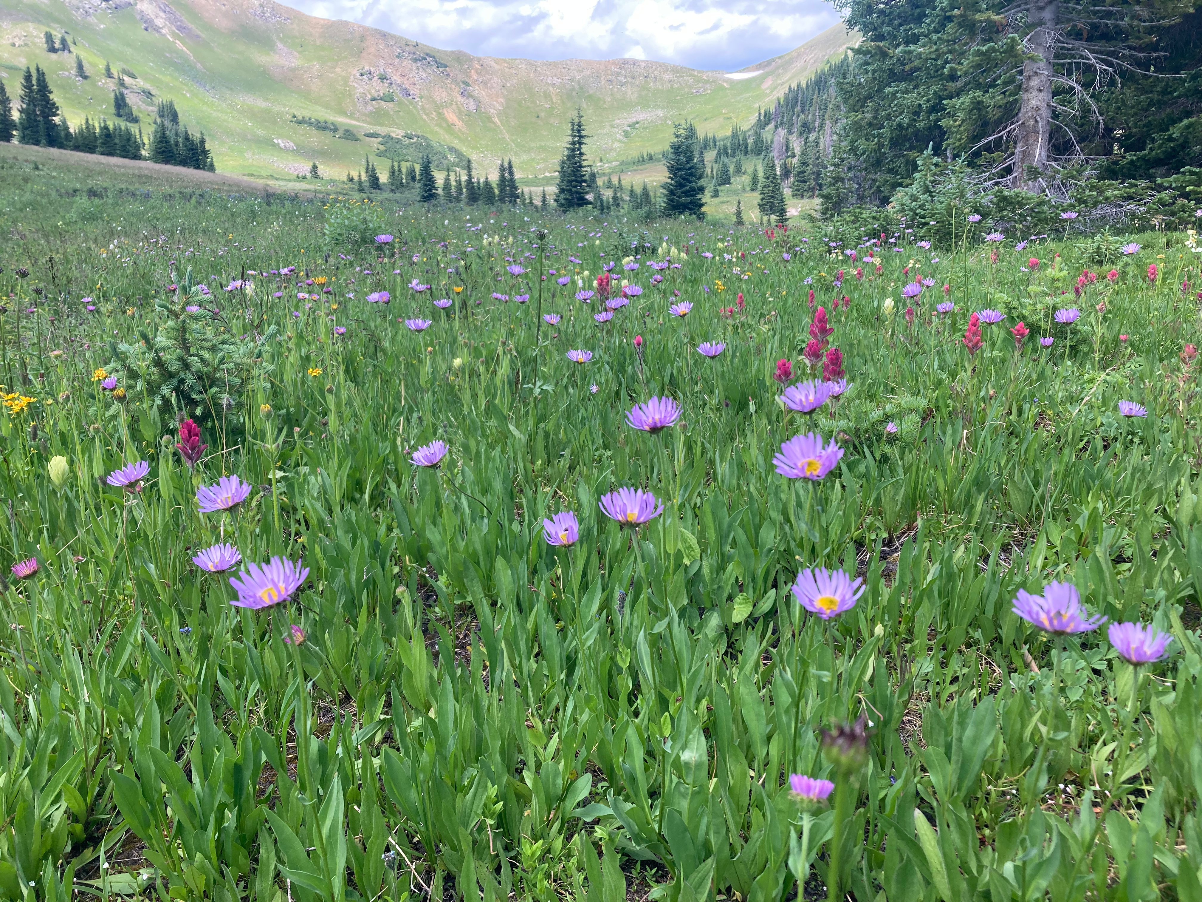
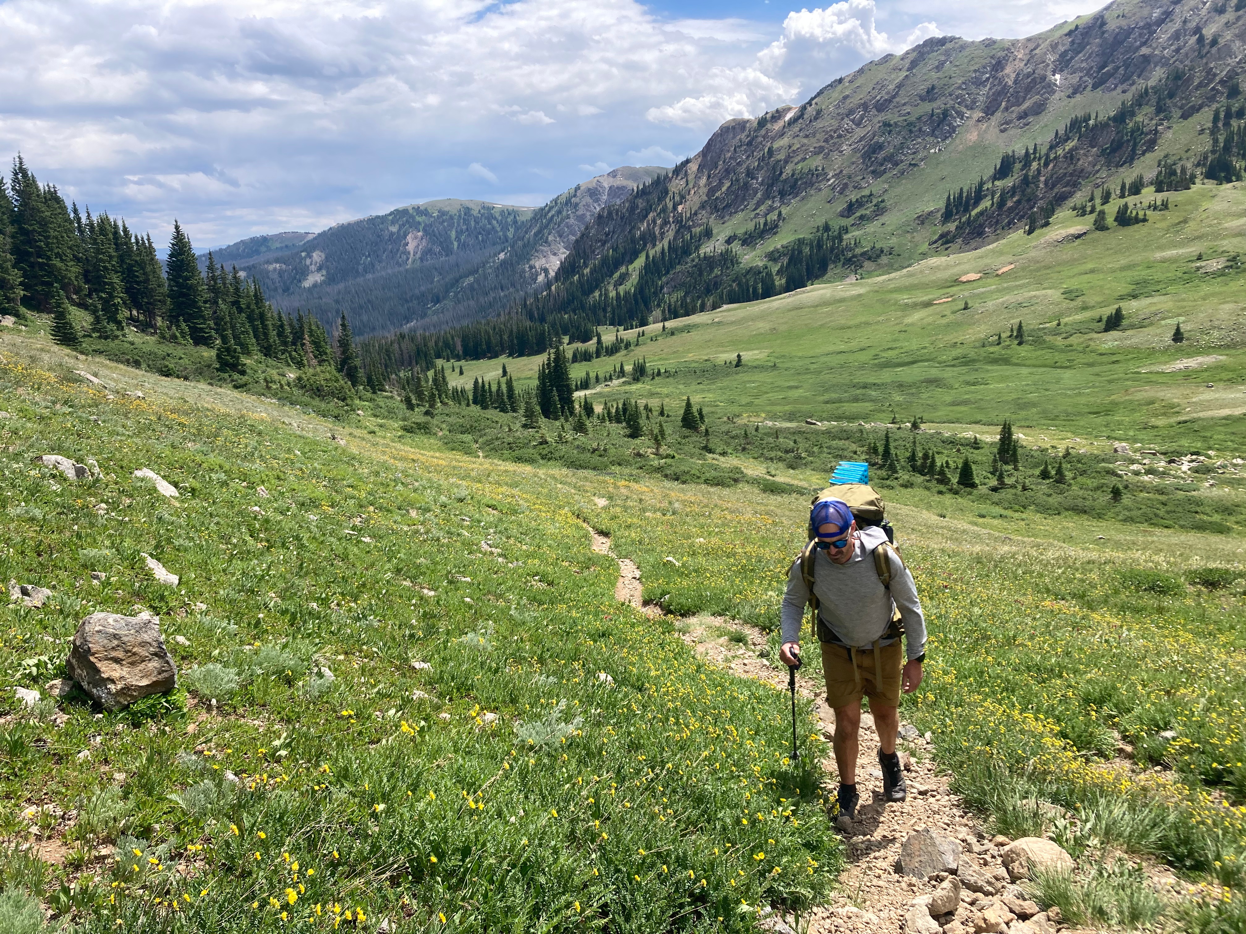
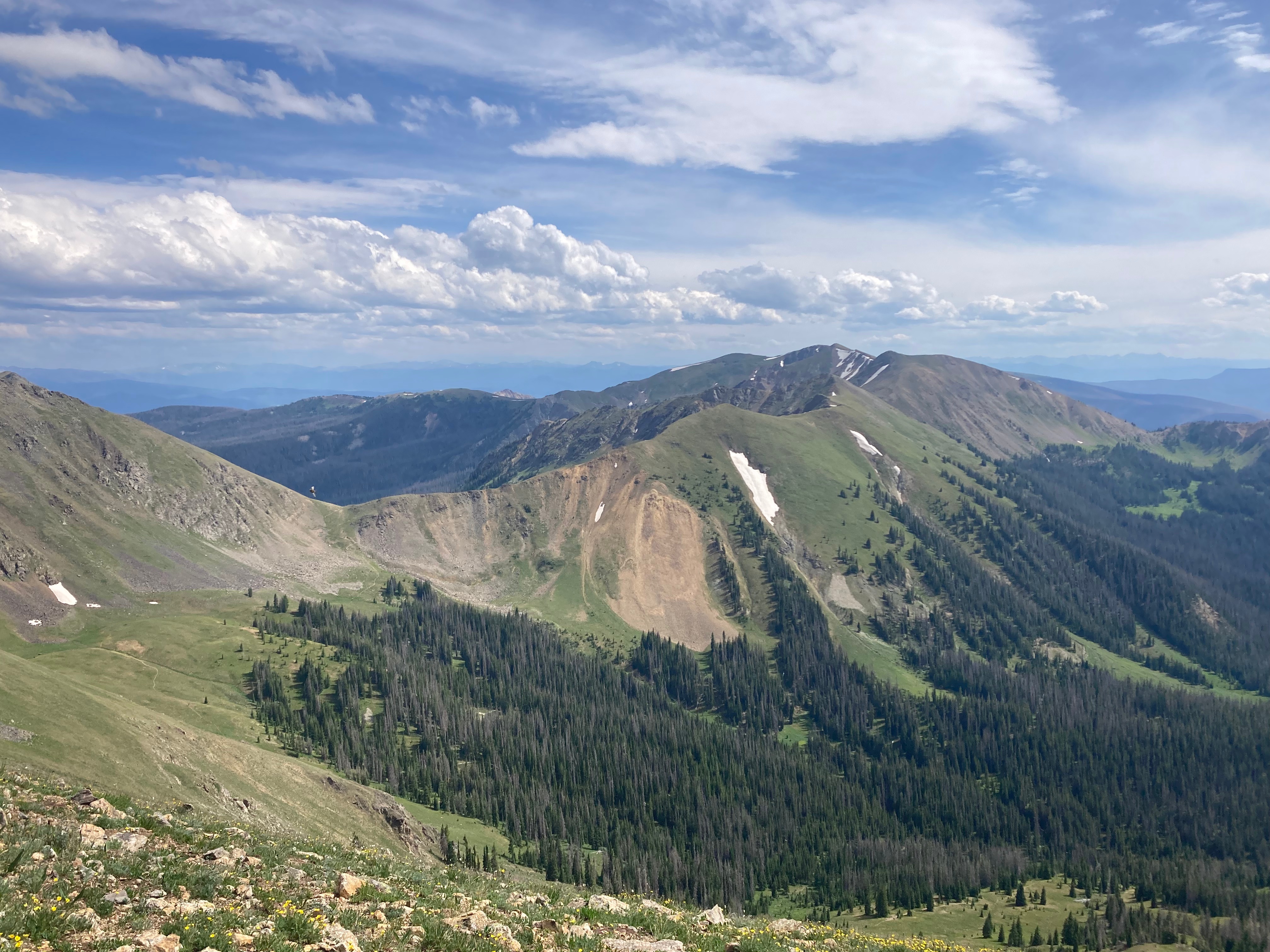
We started day 1 on the Bowen trail and hiked clockwise up to Bowen Pass. This trail is also part of the CDT. From here it connects with the Never Summer trail and Parika Lake trail, and crosses over another pass before descending down to Parika Lake which was an absolute beautiful place to camp. That first day is pretty though since it has a bit of elevation, but also very beautiful. The second day following Baker trail back down is a breeze. Below is a screenshot of the stats and strava links for details here: Day 1, and Day 2.
I didn’t bring a camera on this trip, so all pics are taken with my (old) phone.
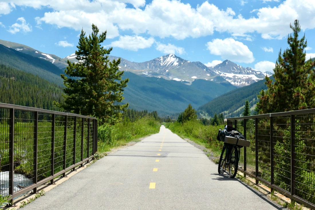
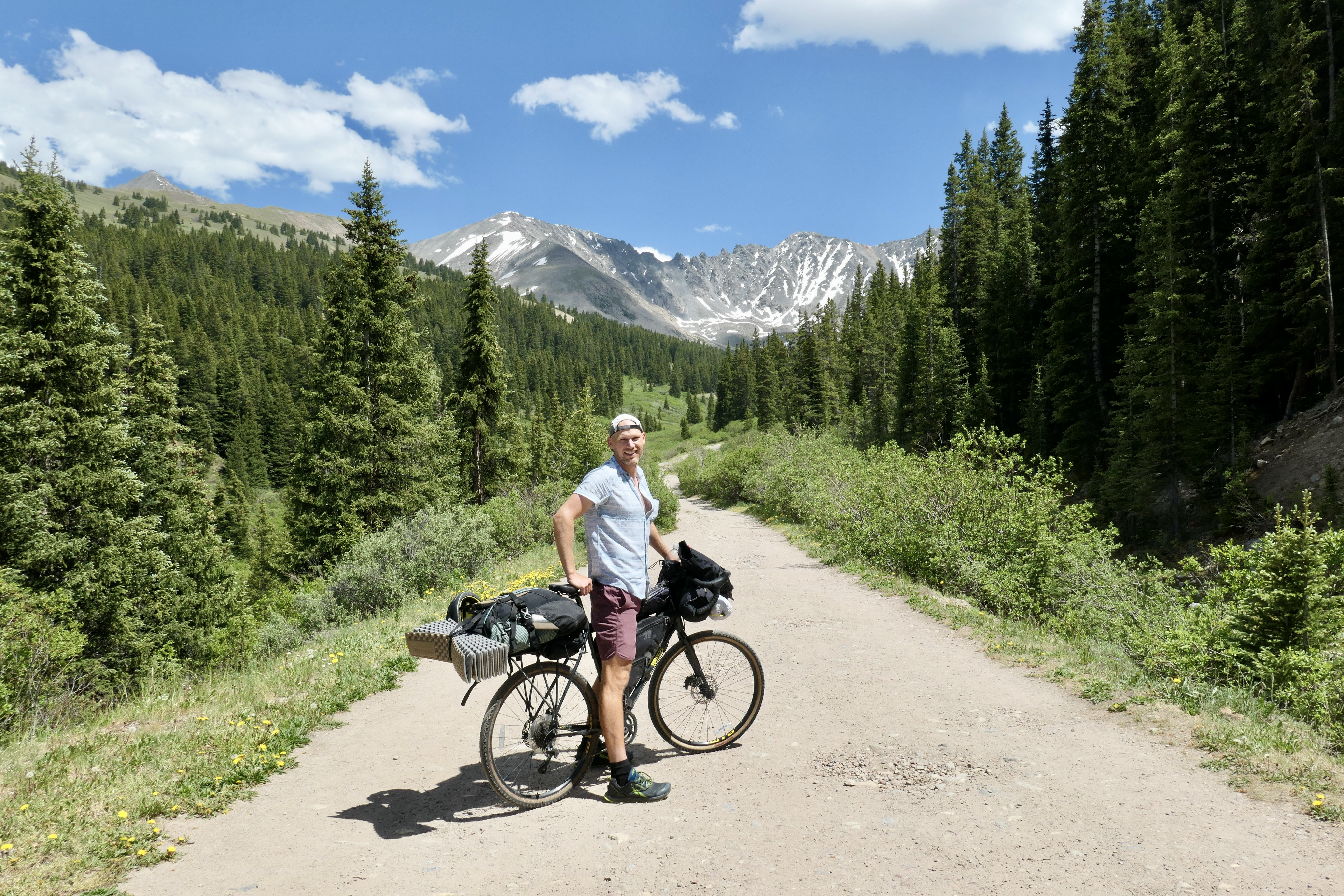
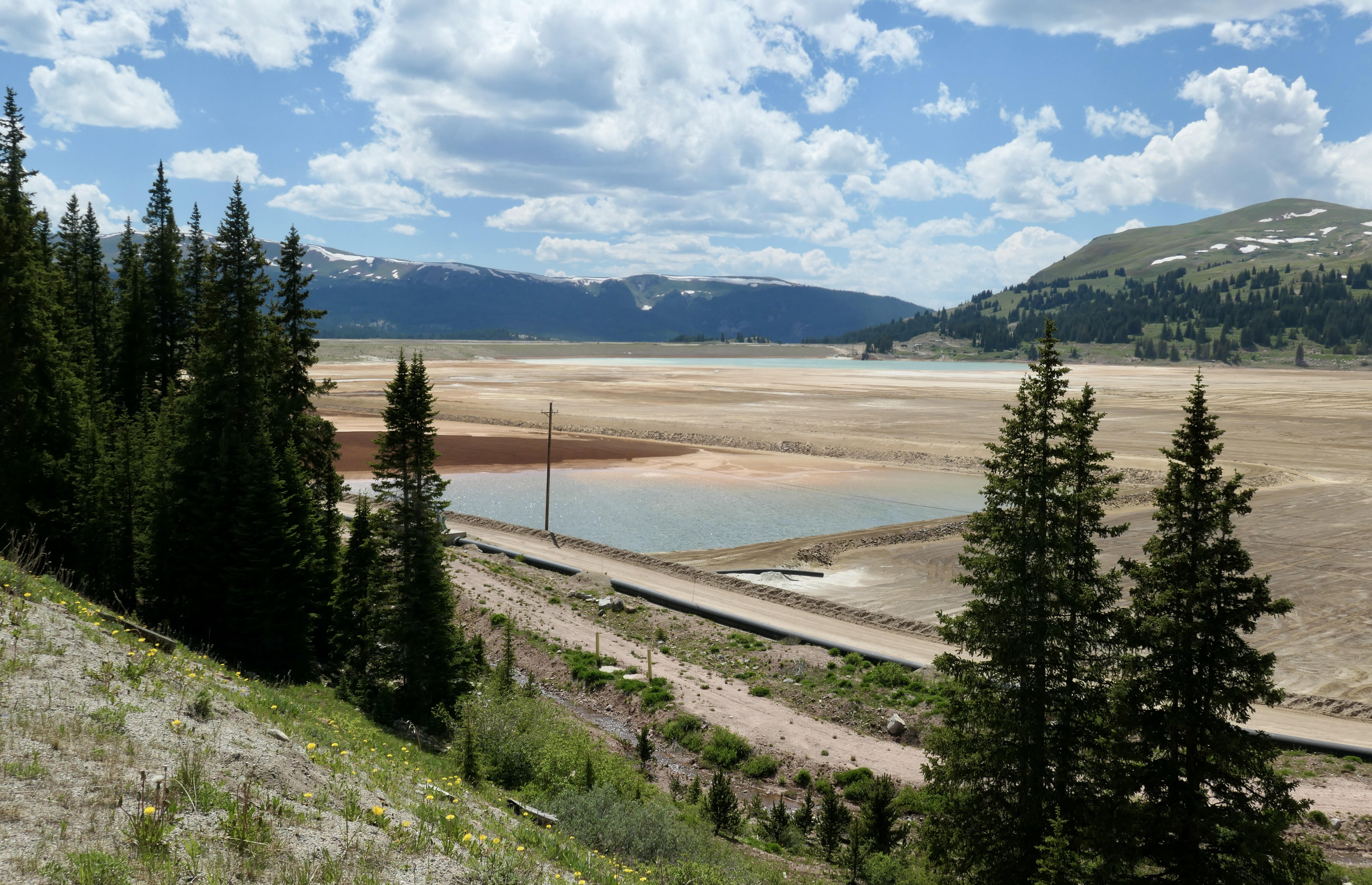
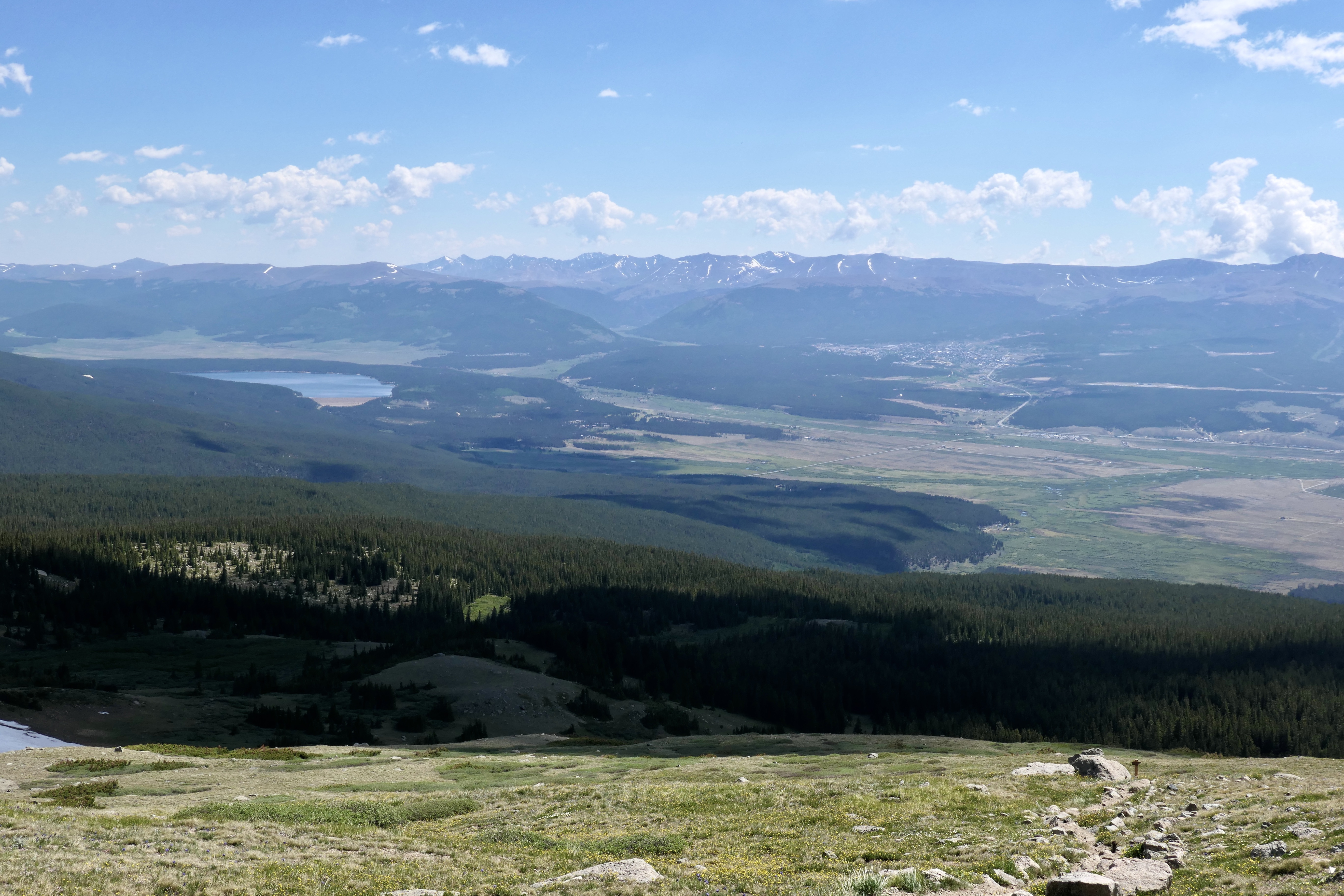
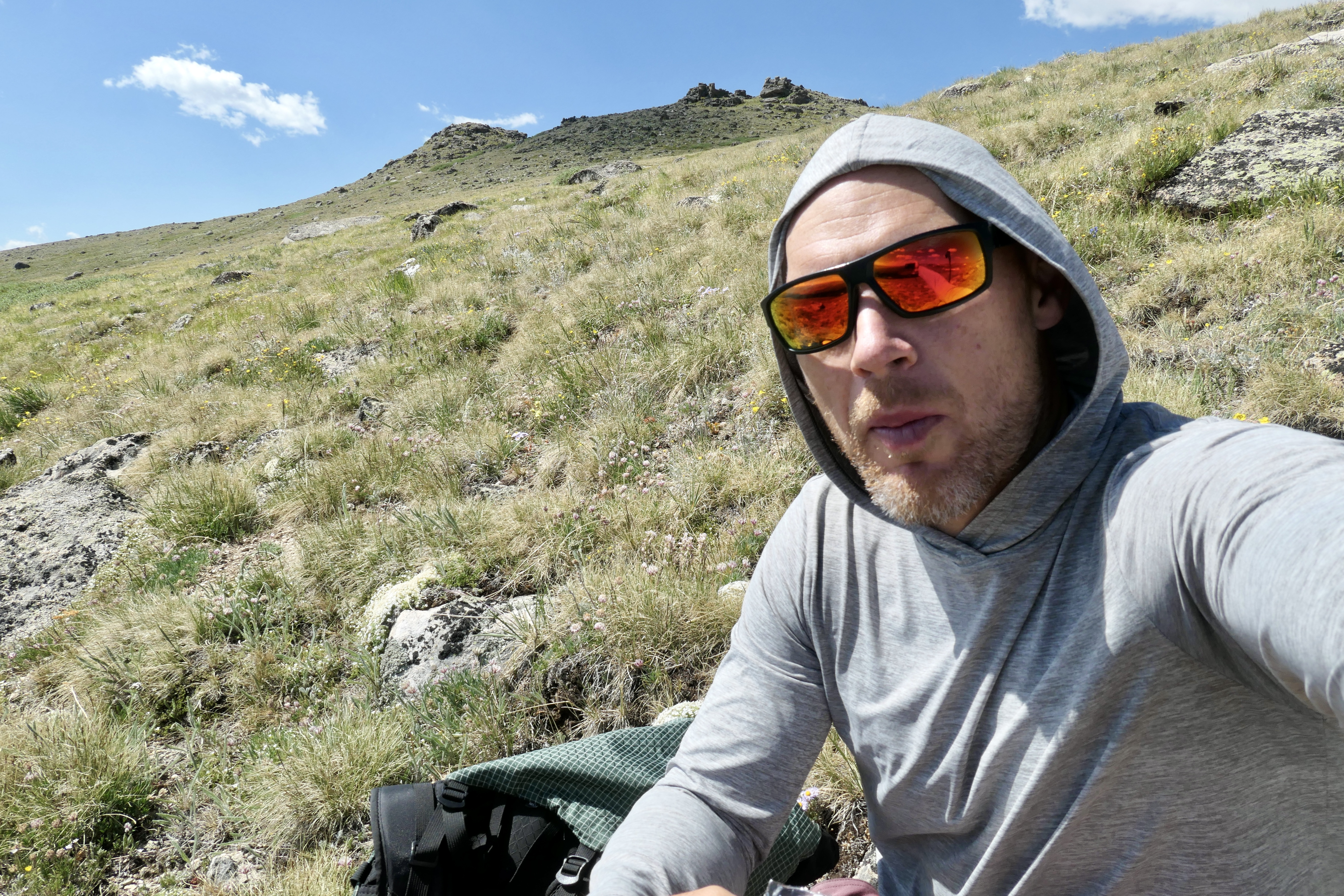
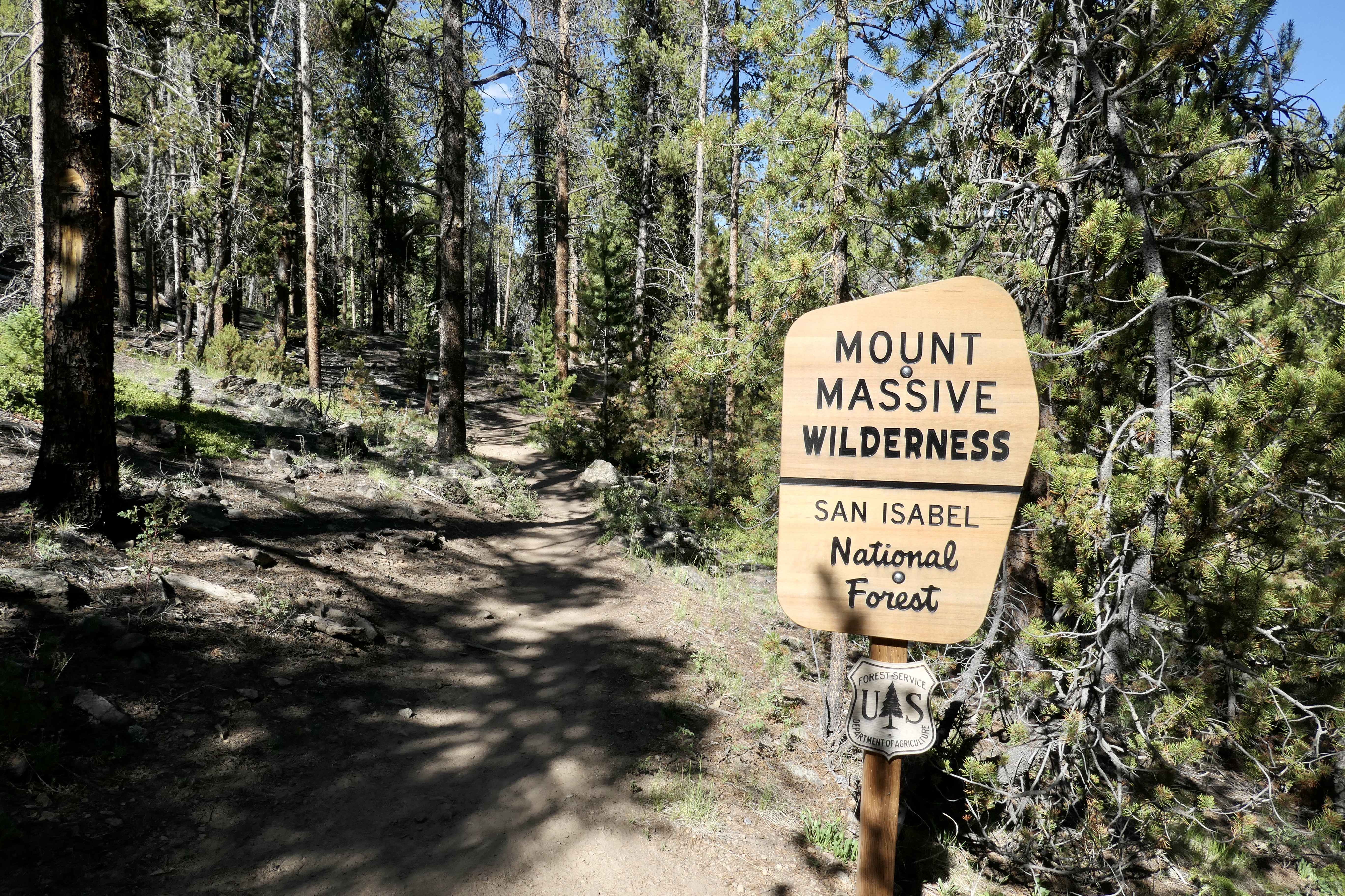
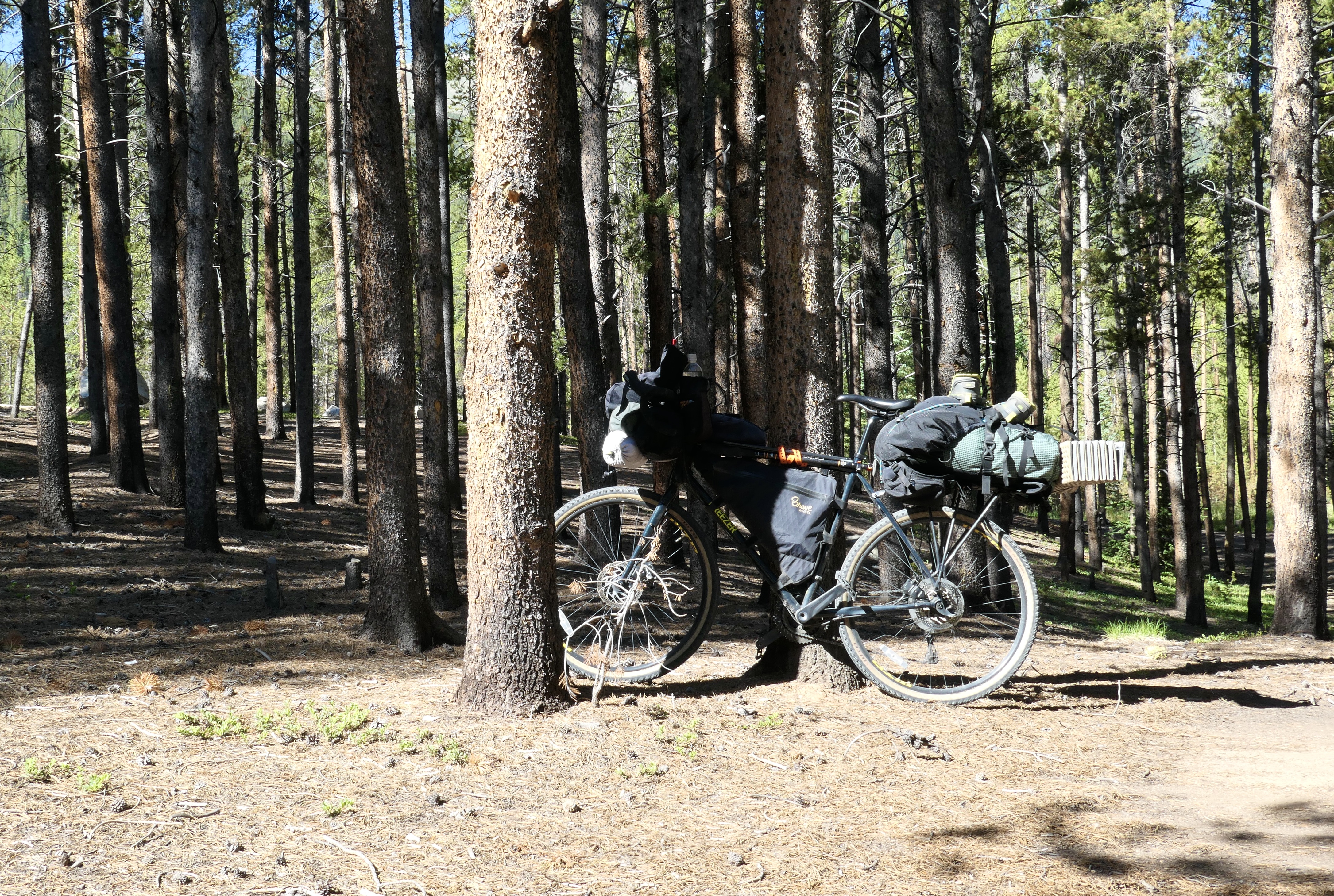
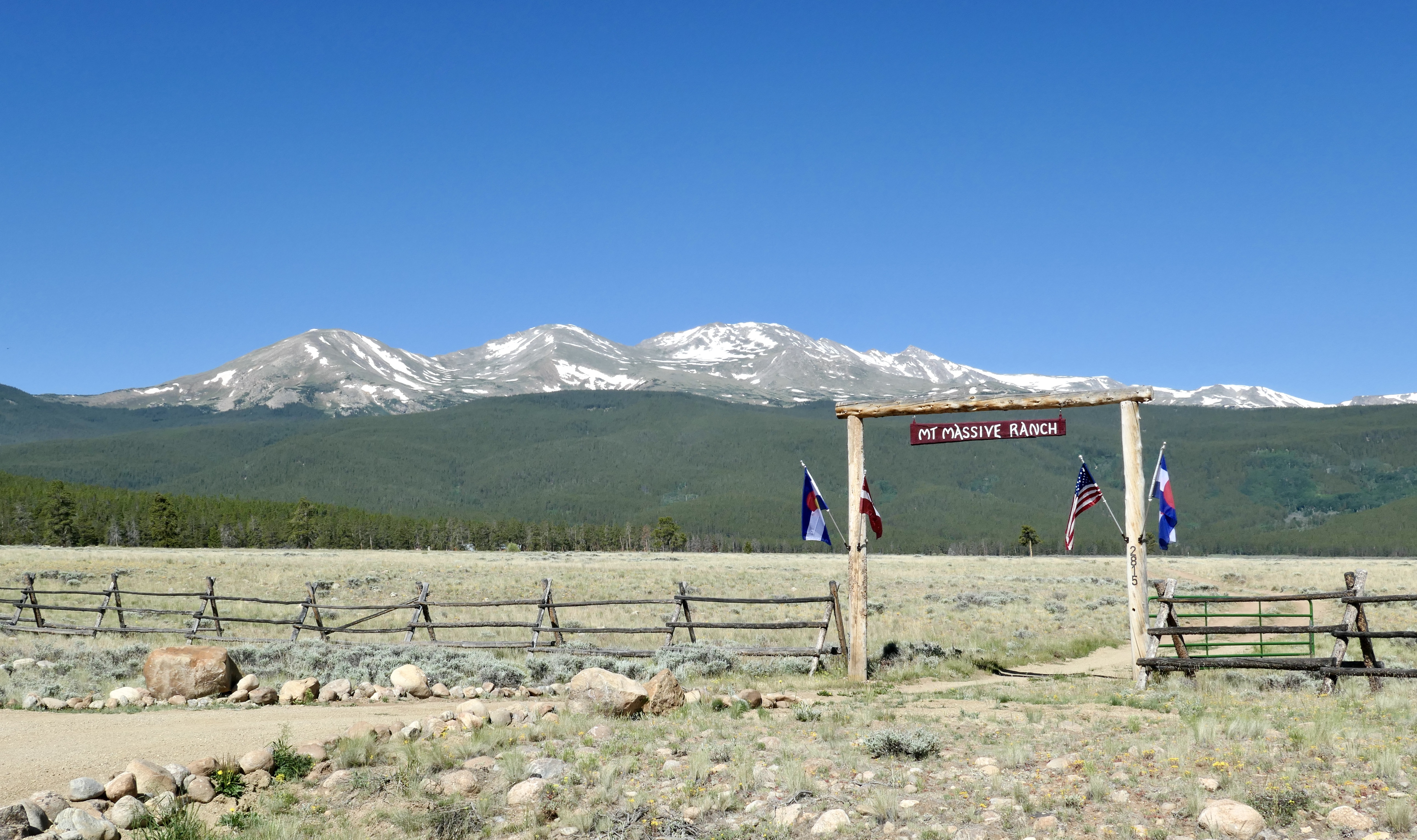
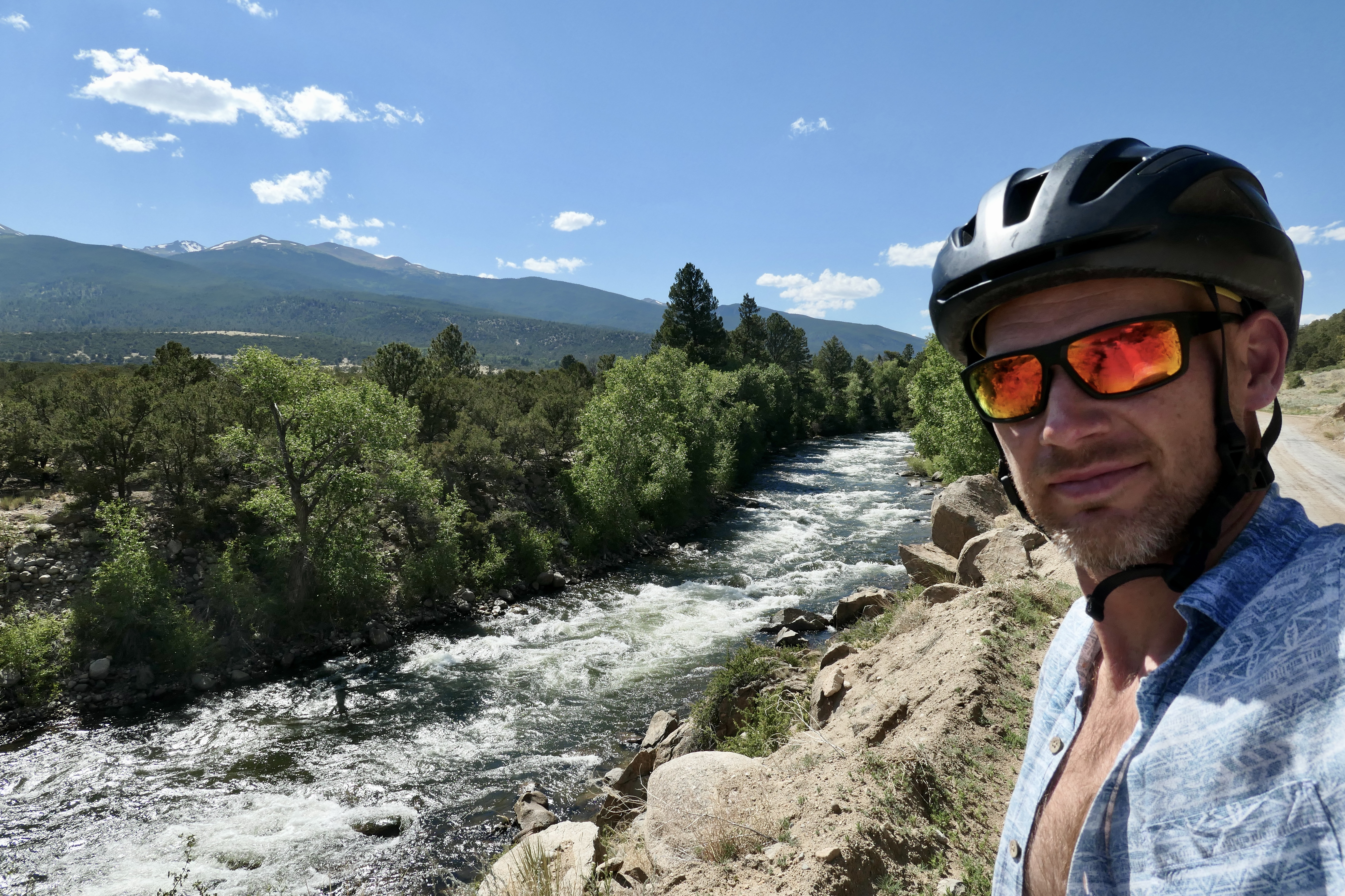
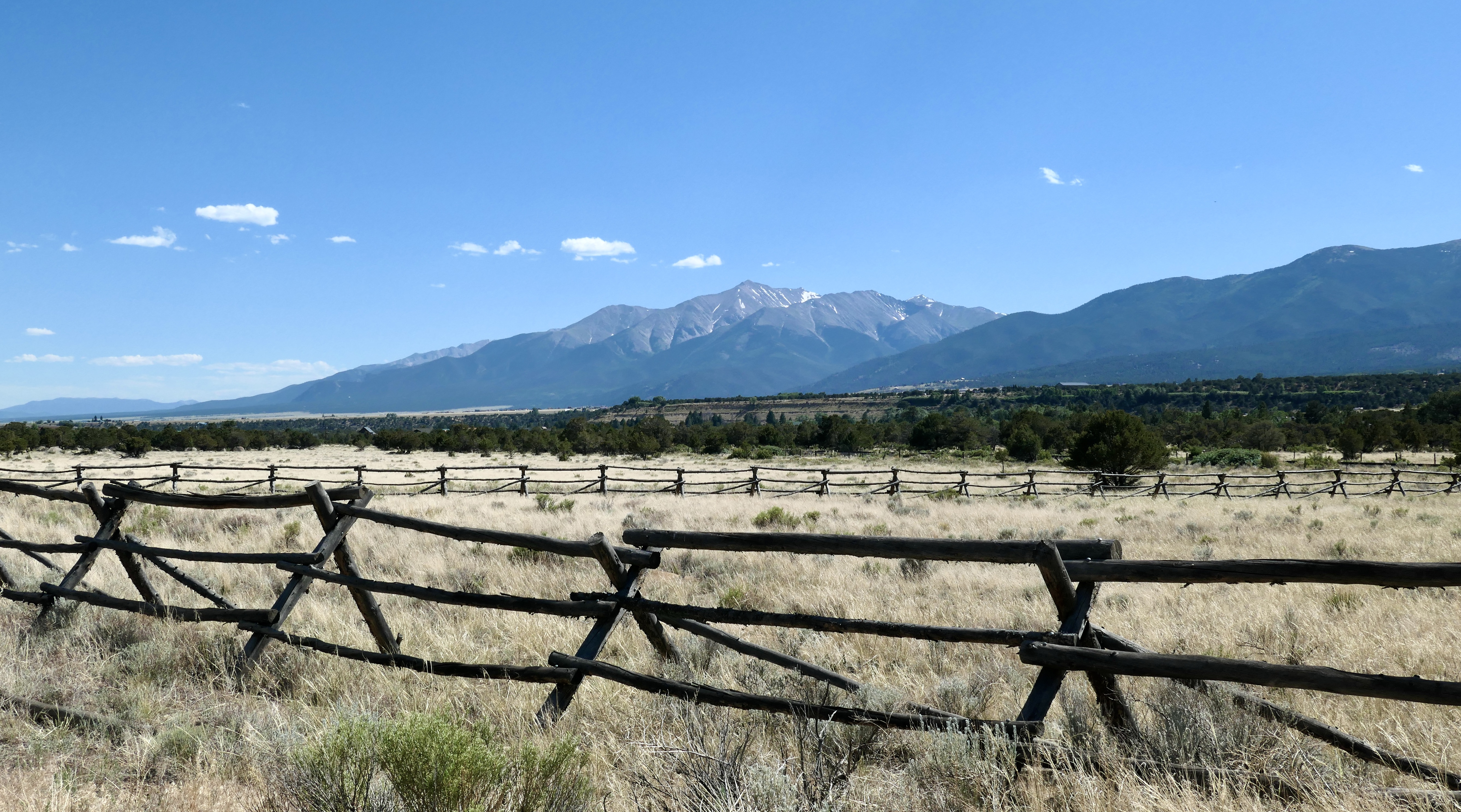
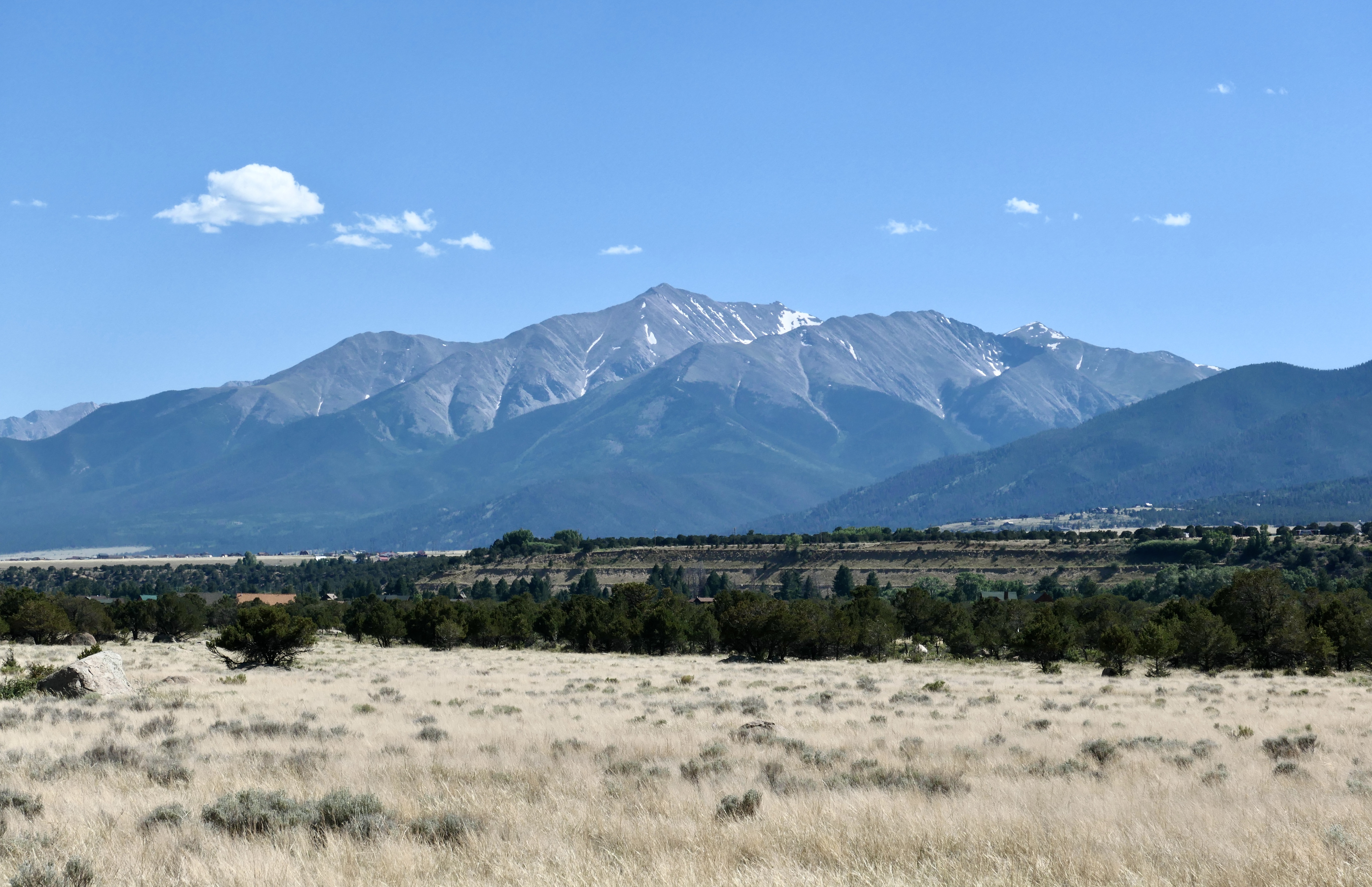
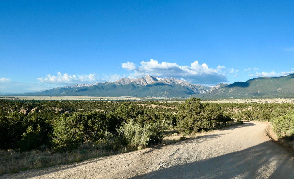
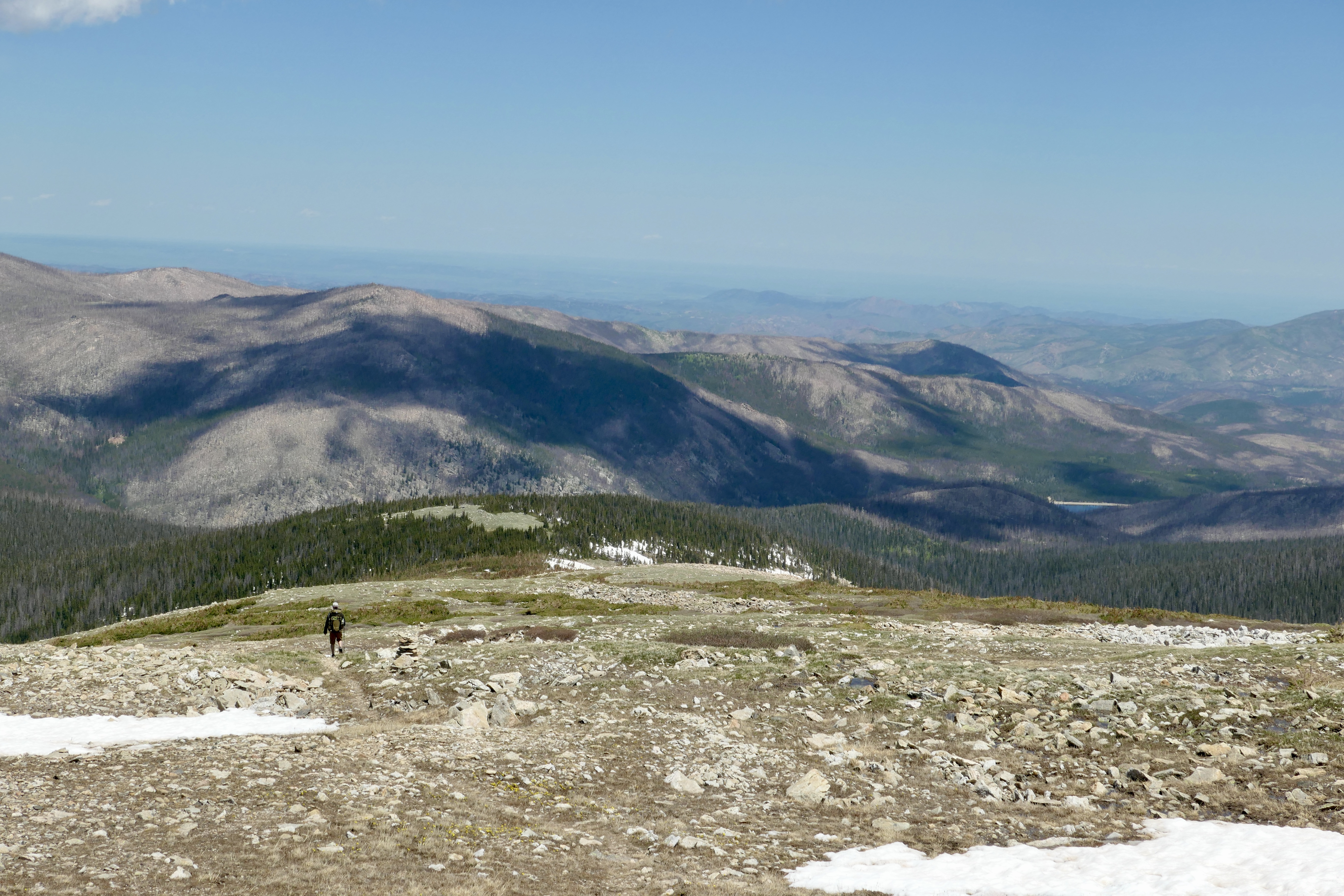
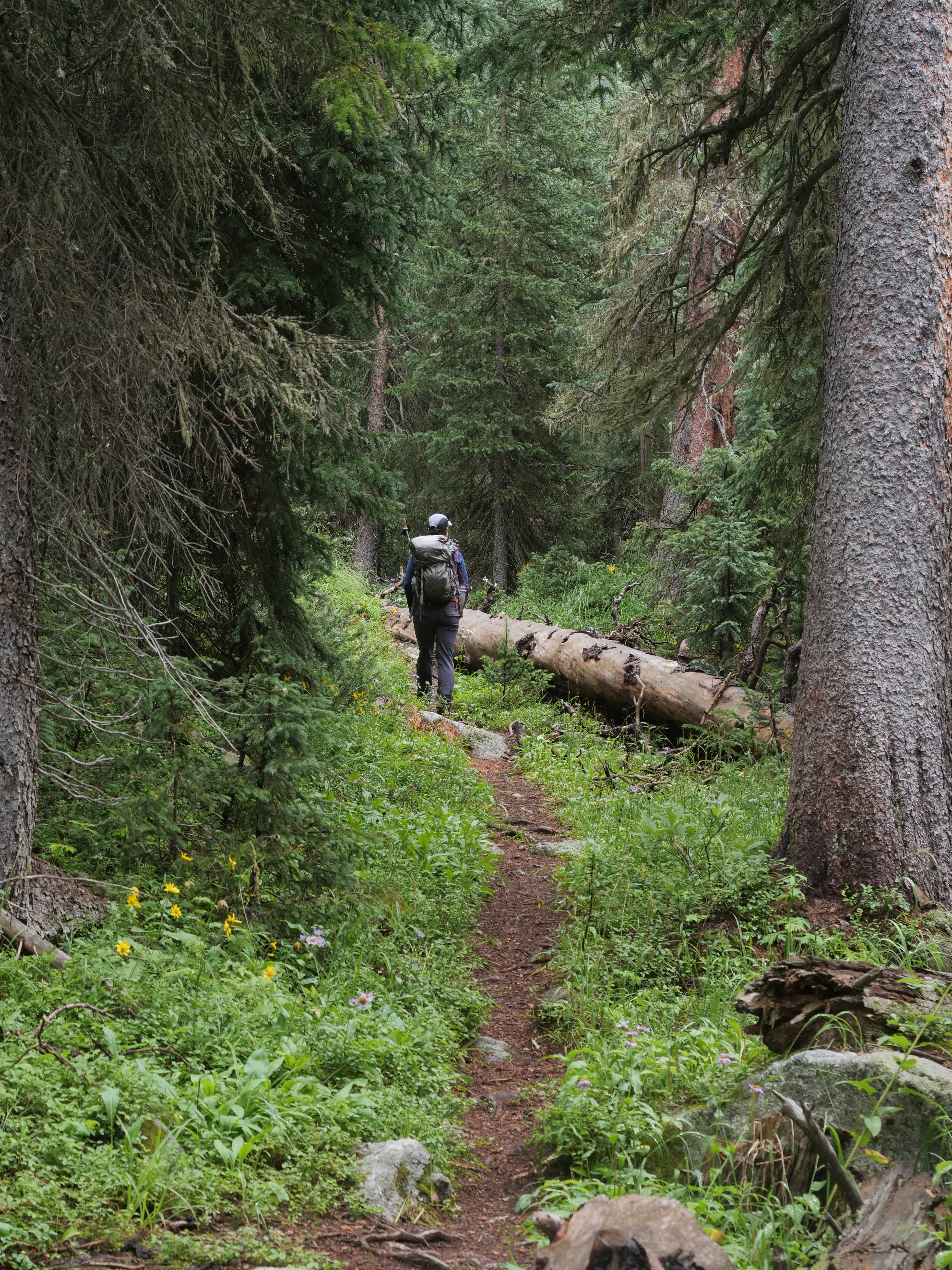
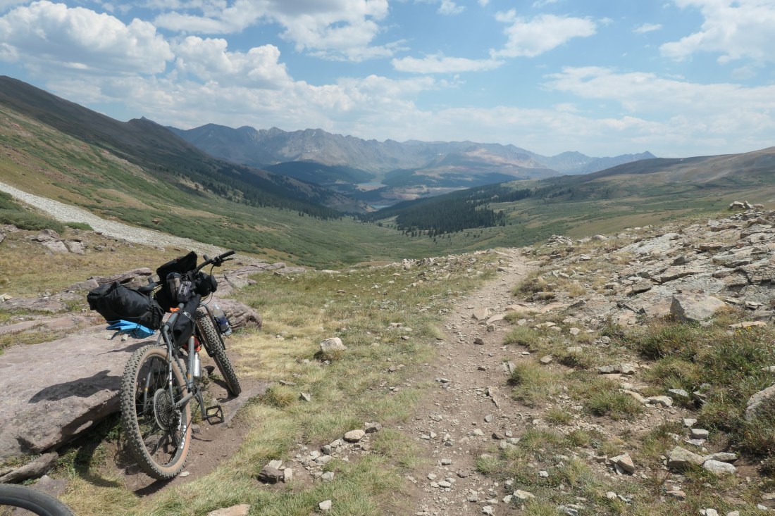
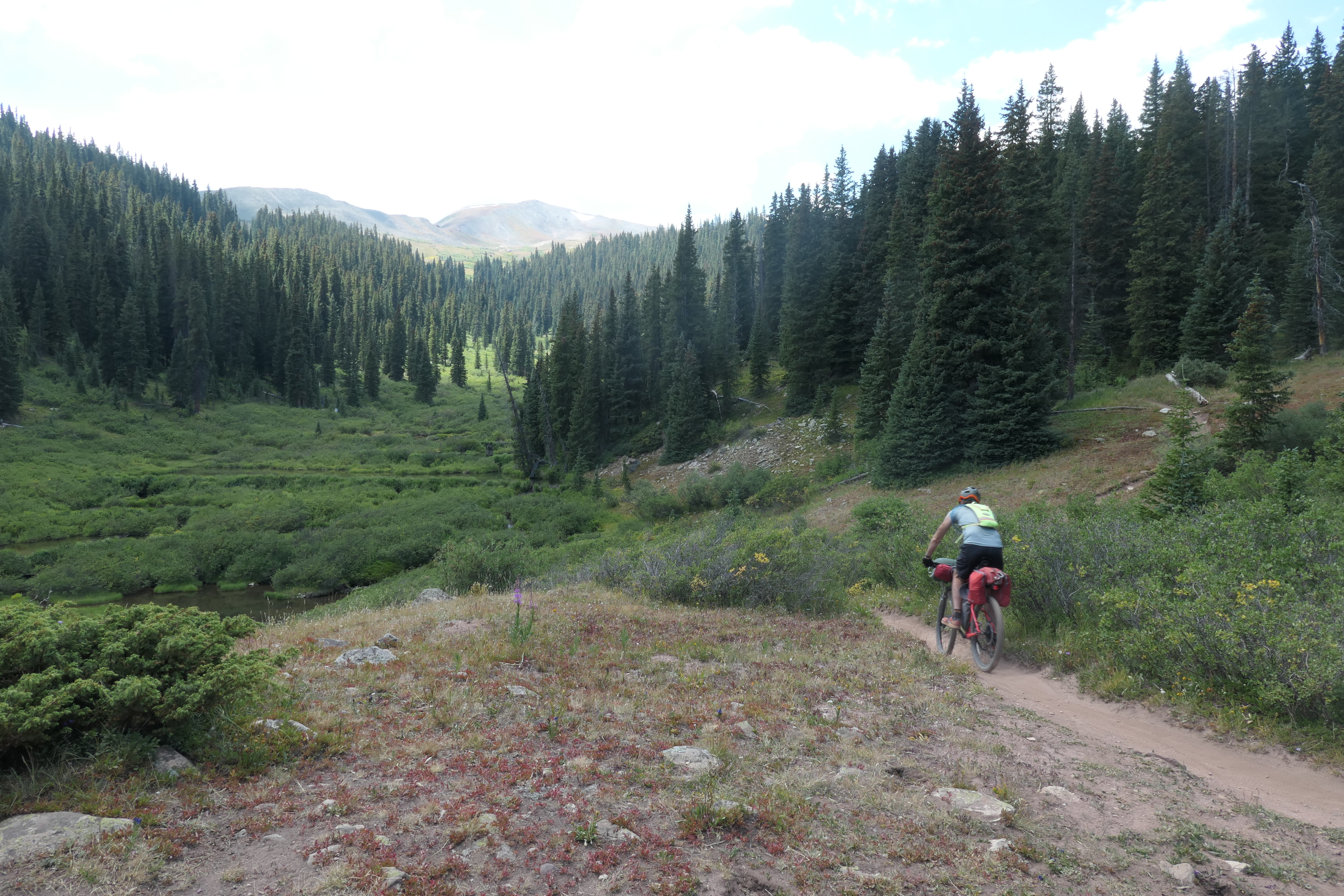
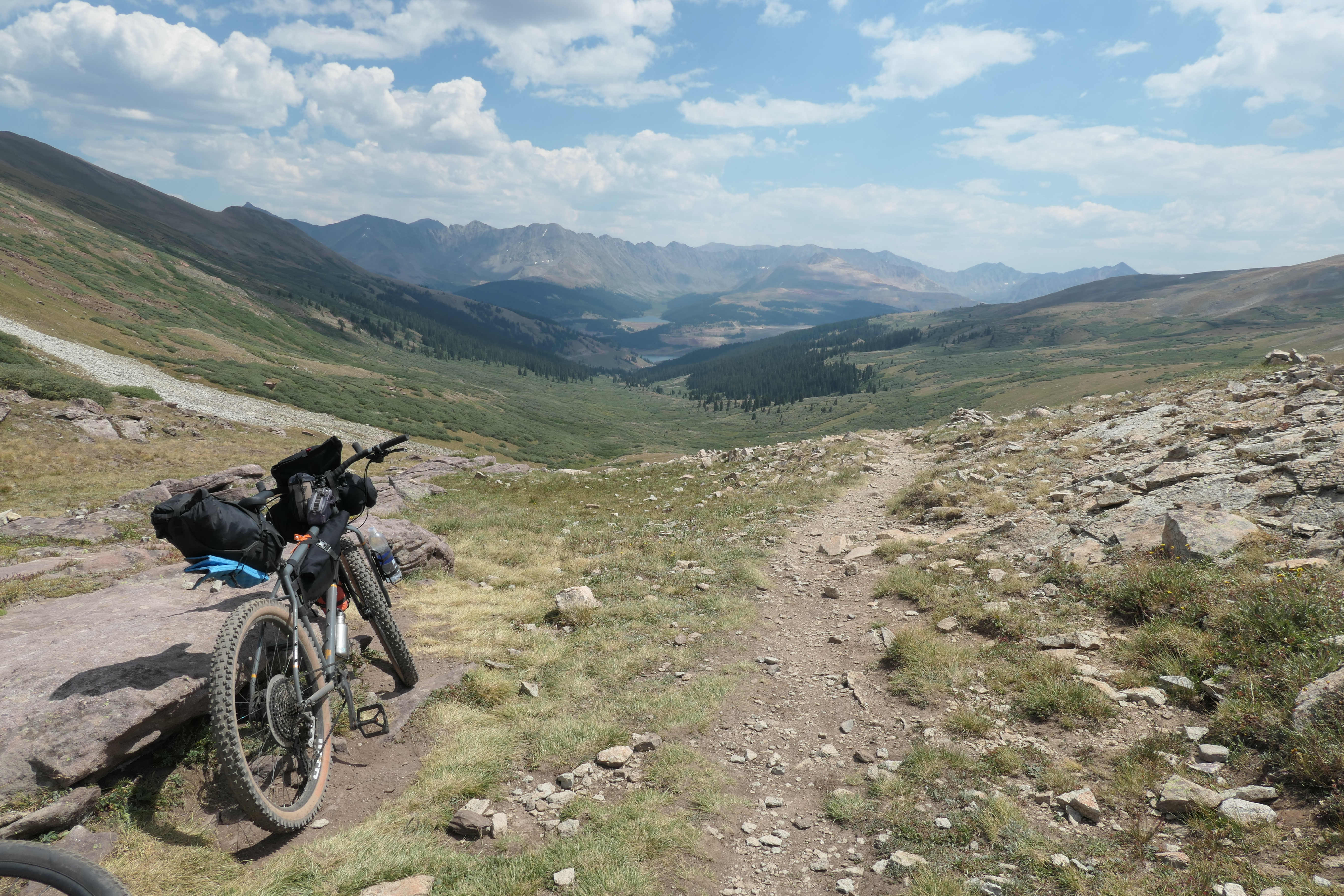
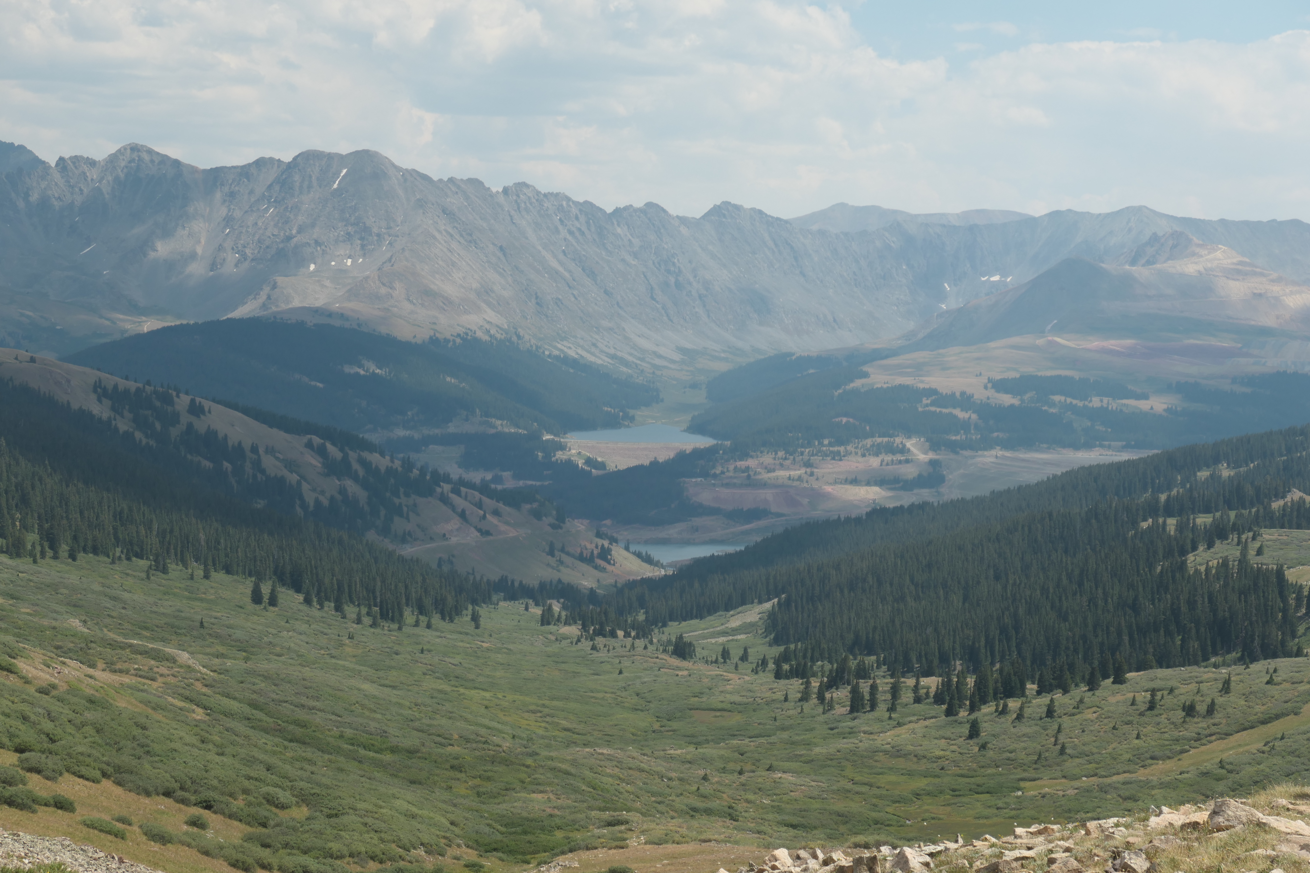
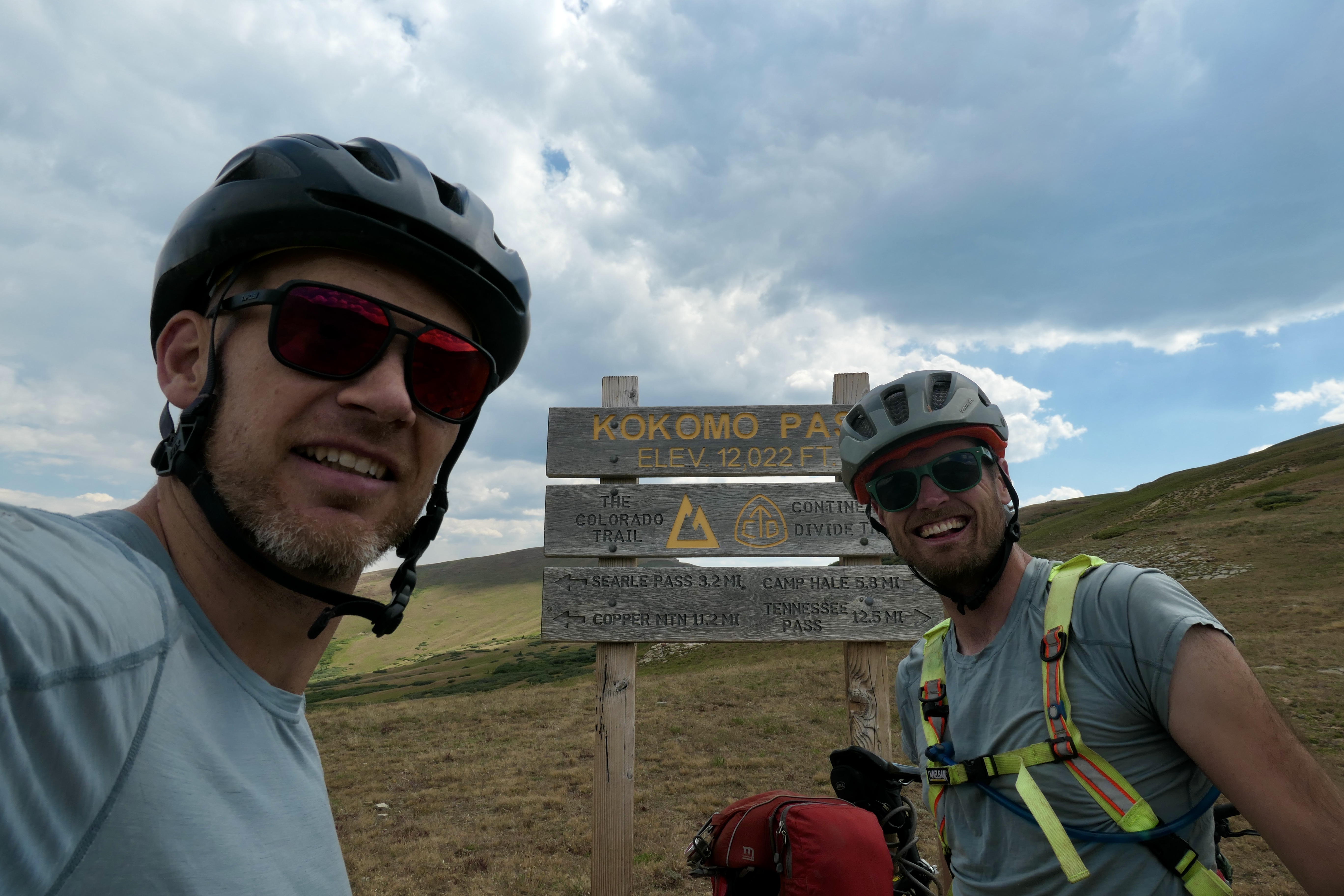
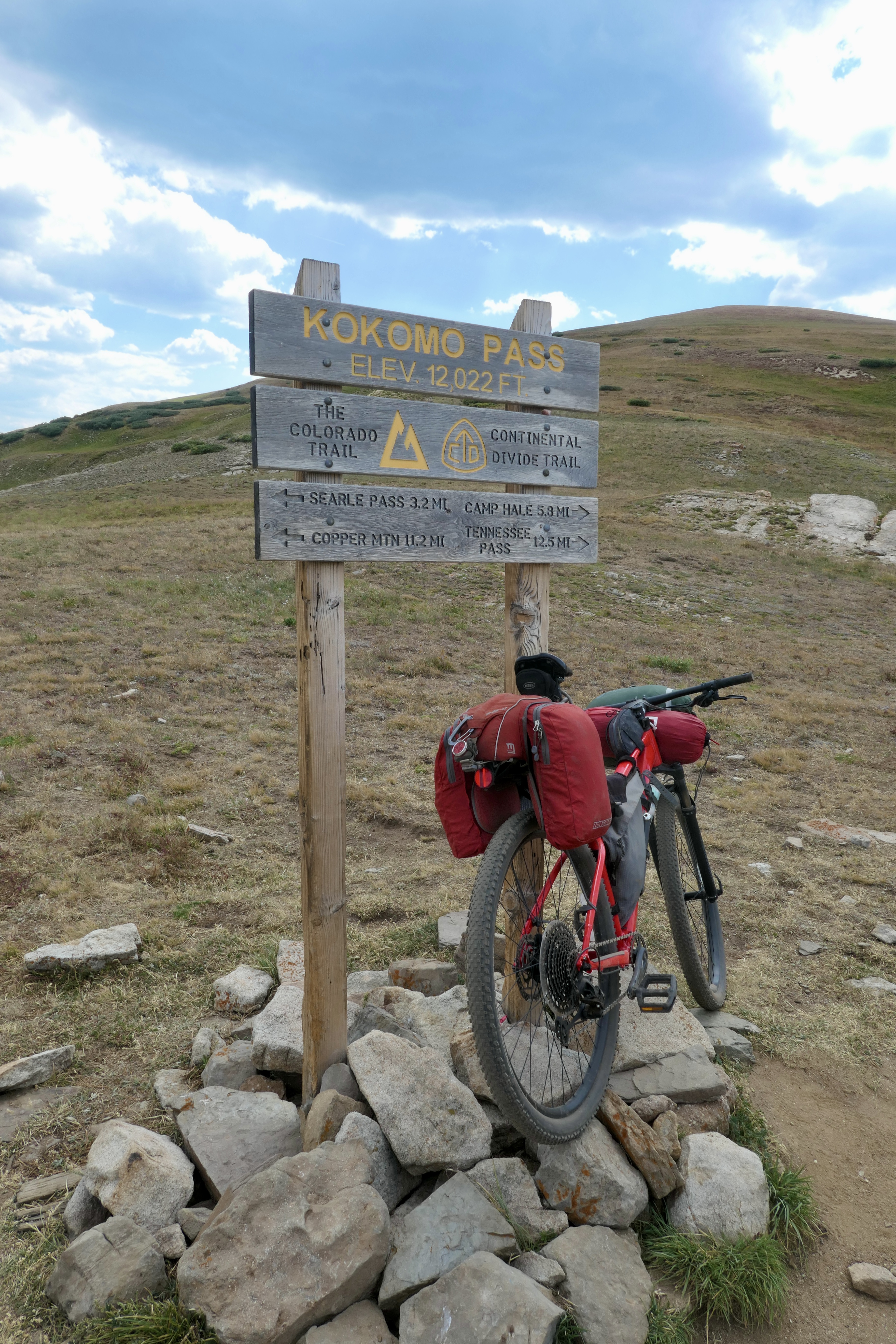
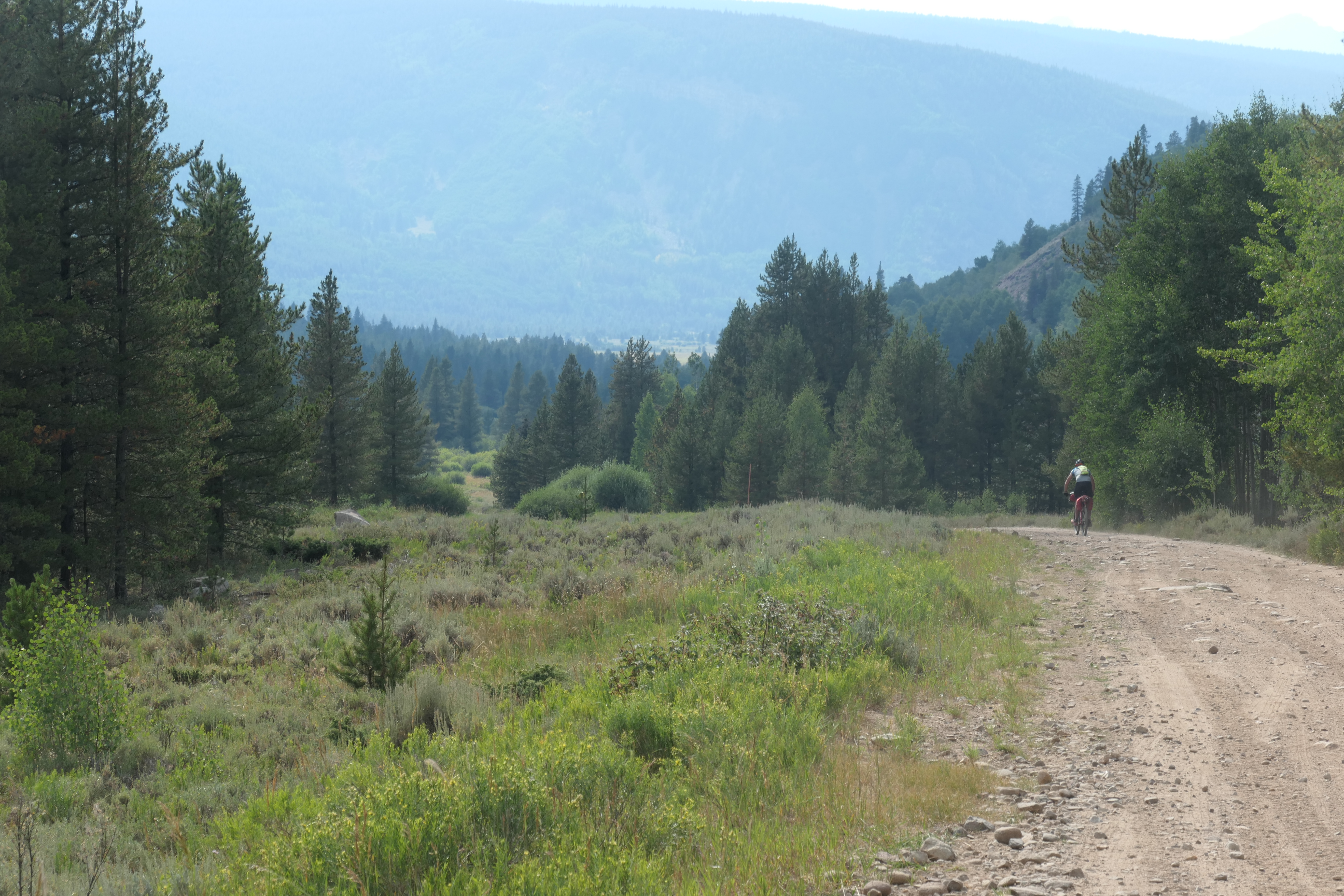
Bikepacking Frisco to Buena Vista via Searle pass and Colorado Trail
I took the bus to Frisco where I met up with Cam. We rode south to connect with the Colorado Trail going over Searle and Kokomo pass. Then coming down from Kokomo we would have to climb over Tennessee Pass before descending down towards the Leadville and Buena Vista area.
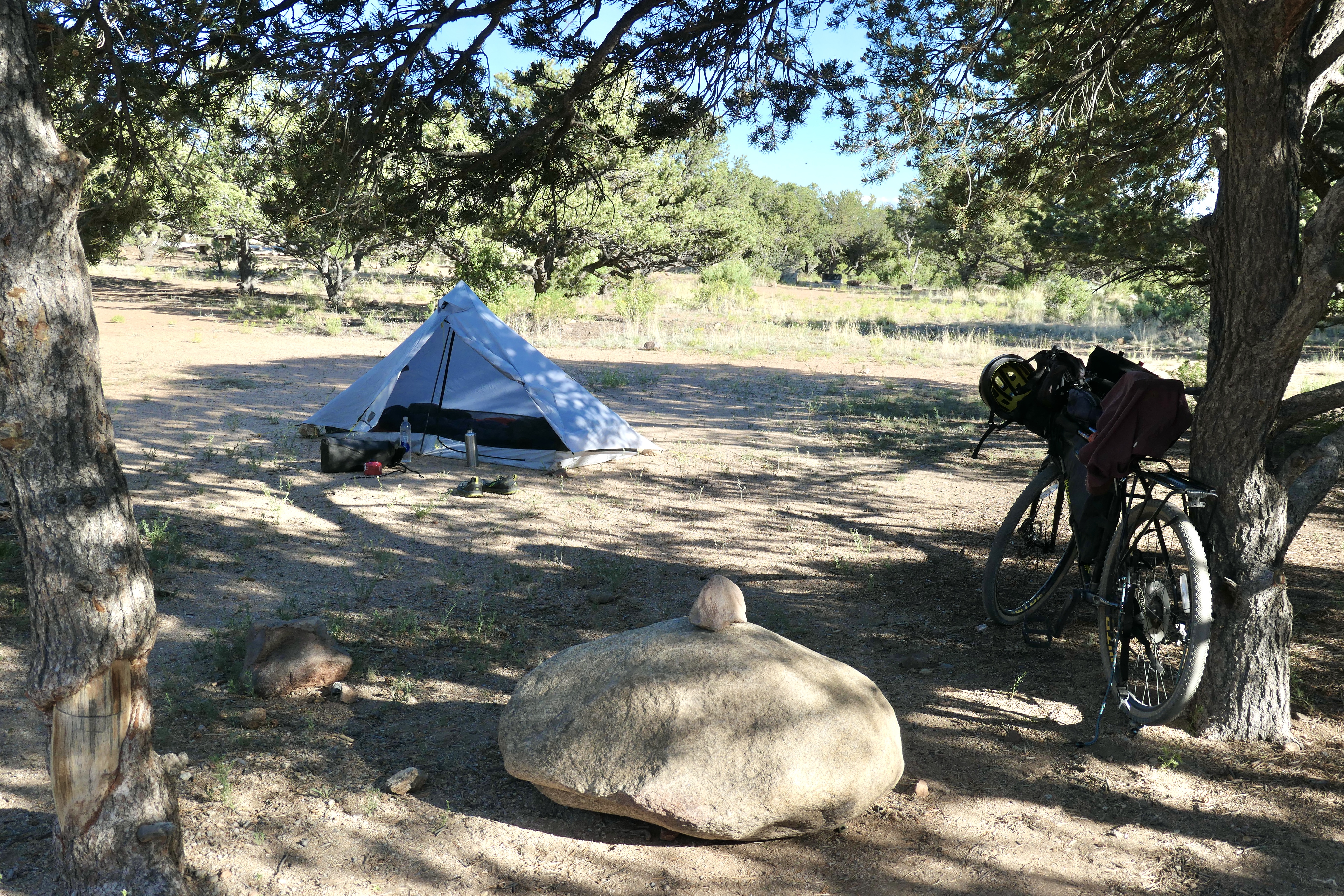
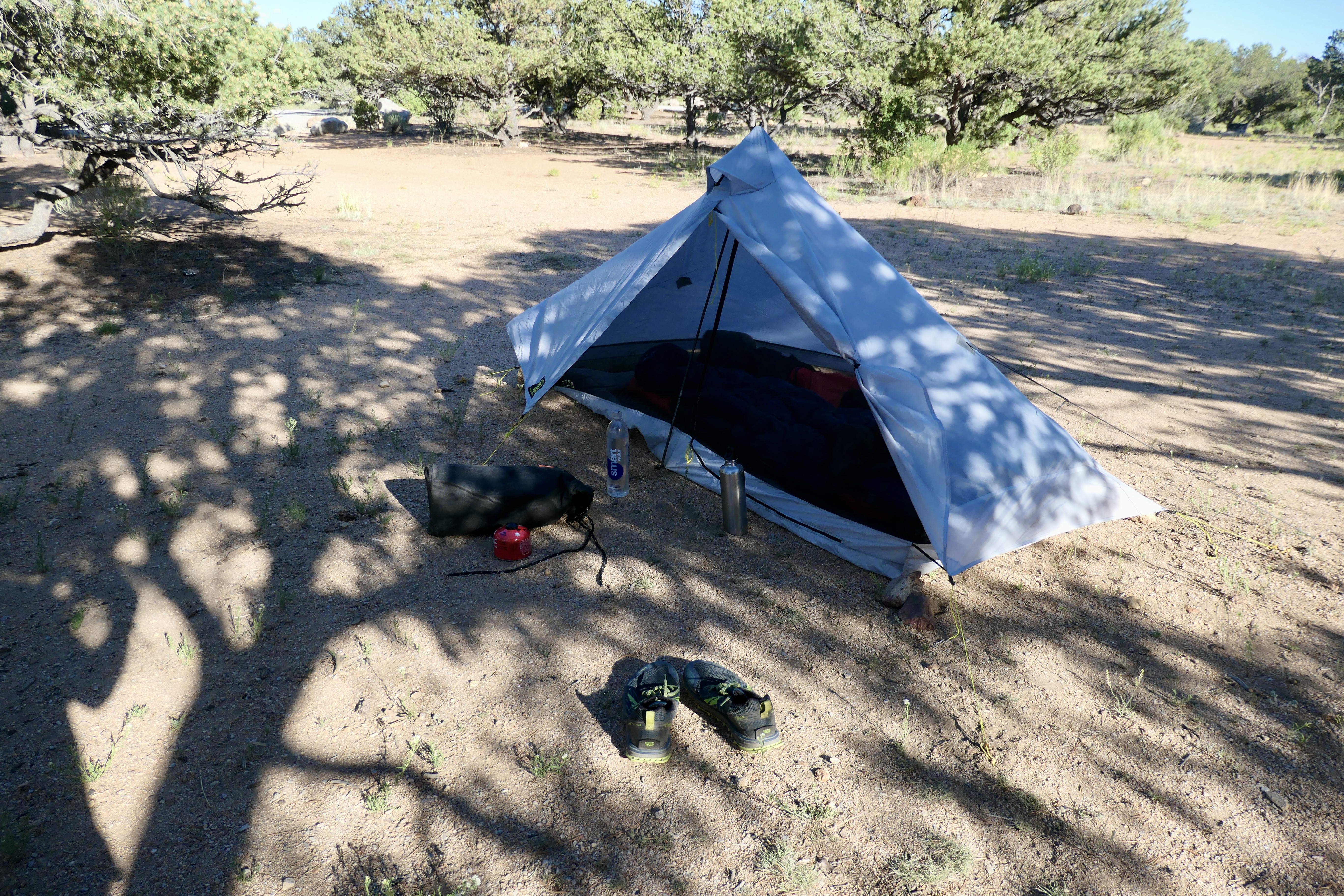
Day 1 was a really tough day. I think I may have taken the price of the heaviest rig to ever cross Searle and Kokomo Pass. My bike on its own is around 35 lbs and on top of that it was fully loaded. So there was a lot of hike-a-bike once we got closer to the pass. The Colorado Trail Race was going on at the same time so we met a few of the guys going in opposite direction. We saw the 2nd place finisher at the top of Searle Pass. He was definitely packing lighter than us! Anyway, this was also a really beautiful ride and the downhill from Kokomo Pass was super fun! Once we came closer to Tennessee Pass we were hammered. So, we found a really nice place to pitch the tents off of the trail. Day 2 was also a really nice ride mostly downhill to Buena Vista, where we camped just north of town before heading home with the bus on day 3. We didn’t follow the CT on day 2, but it is definitely possible to do so.
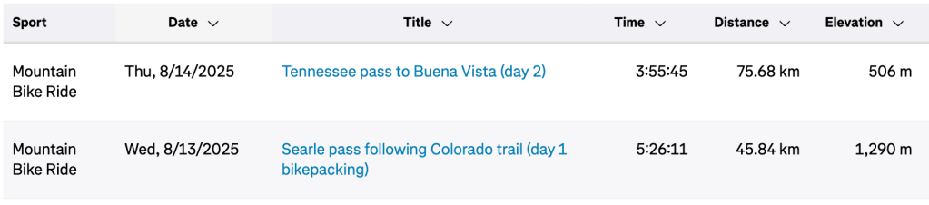
Strava links to Day 1, and Day 2.
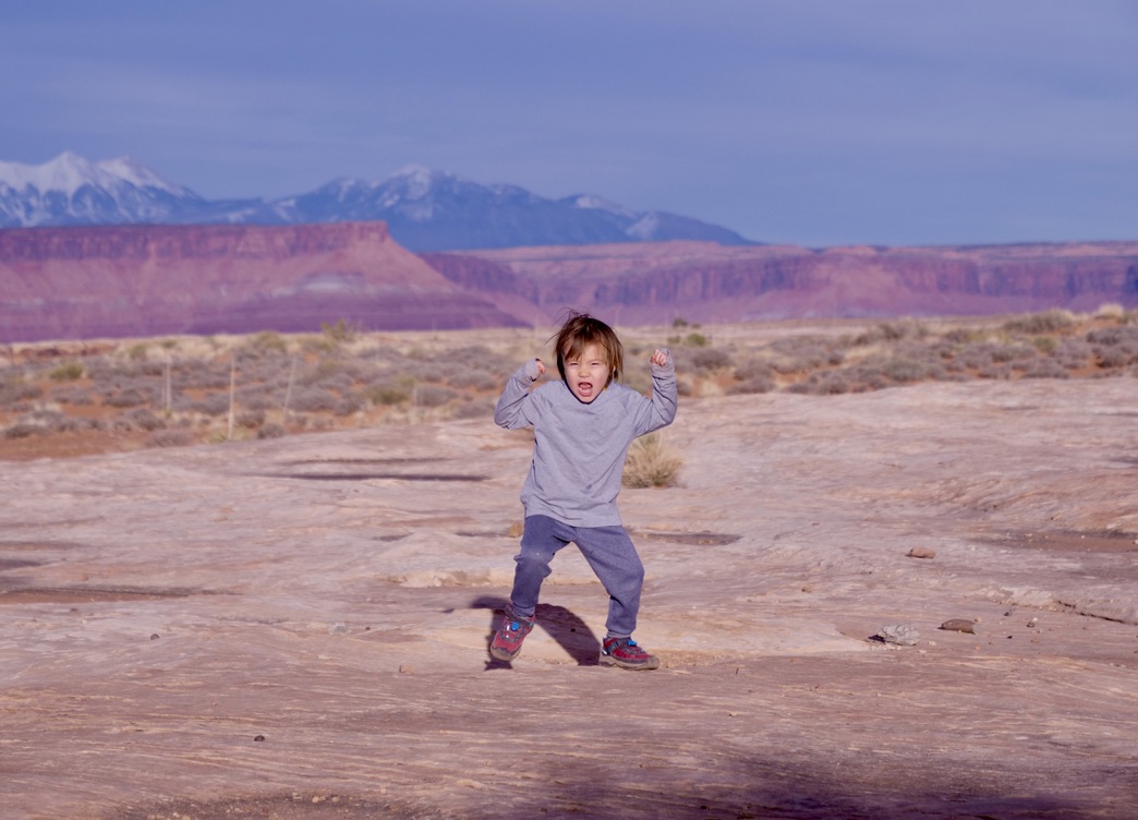
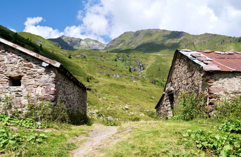
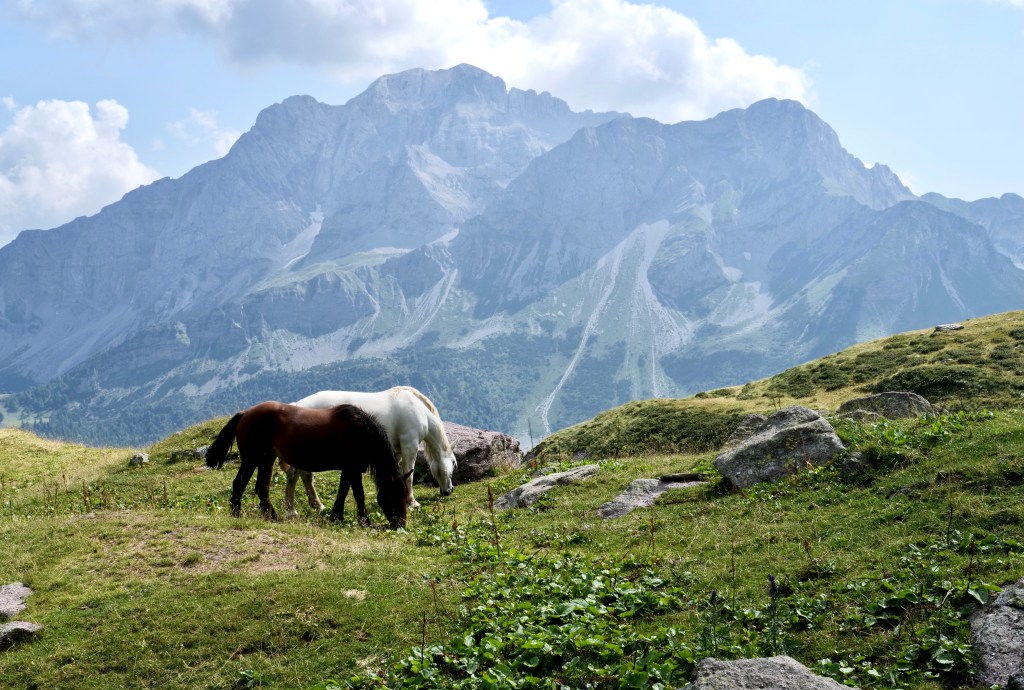
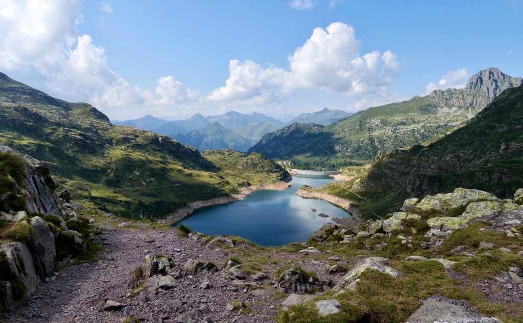
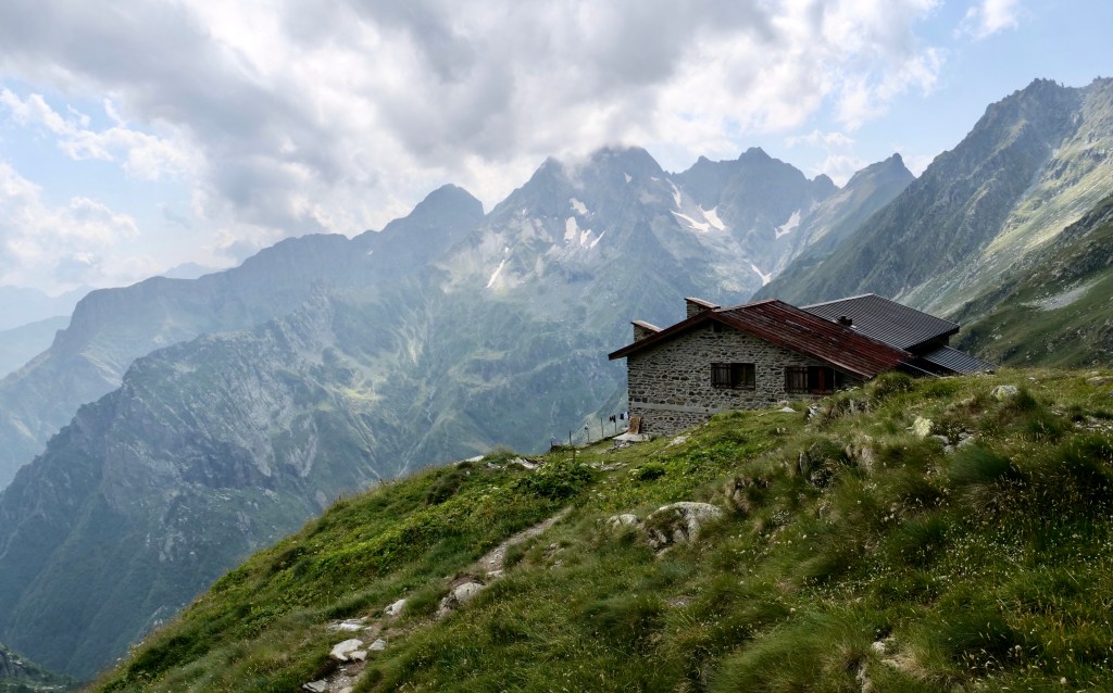
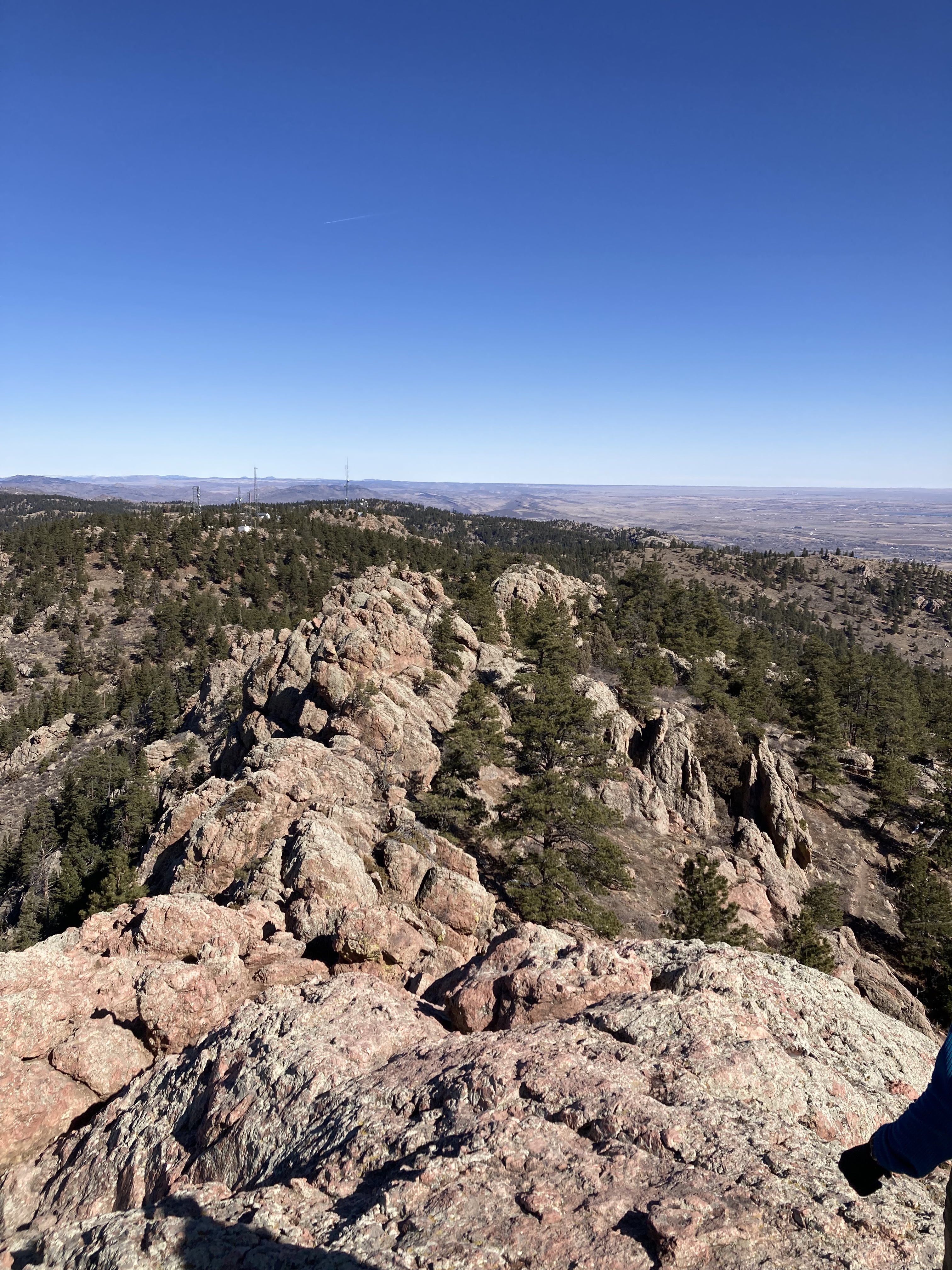
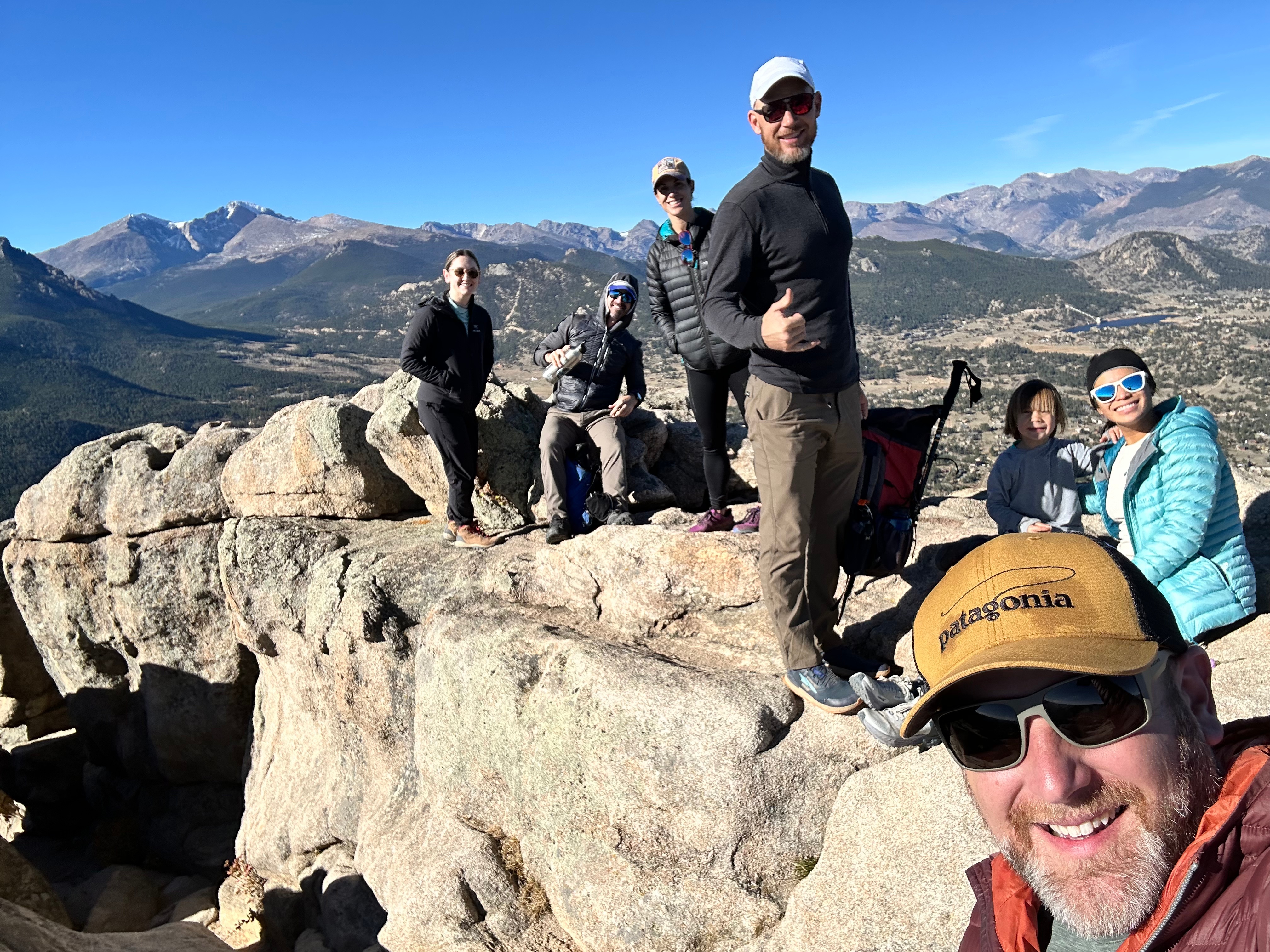
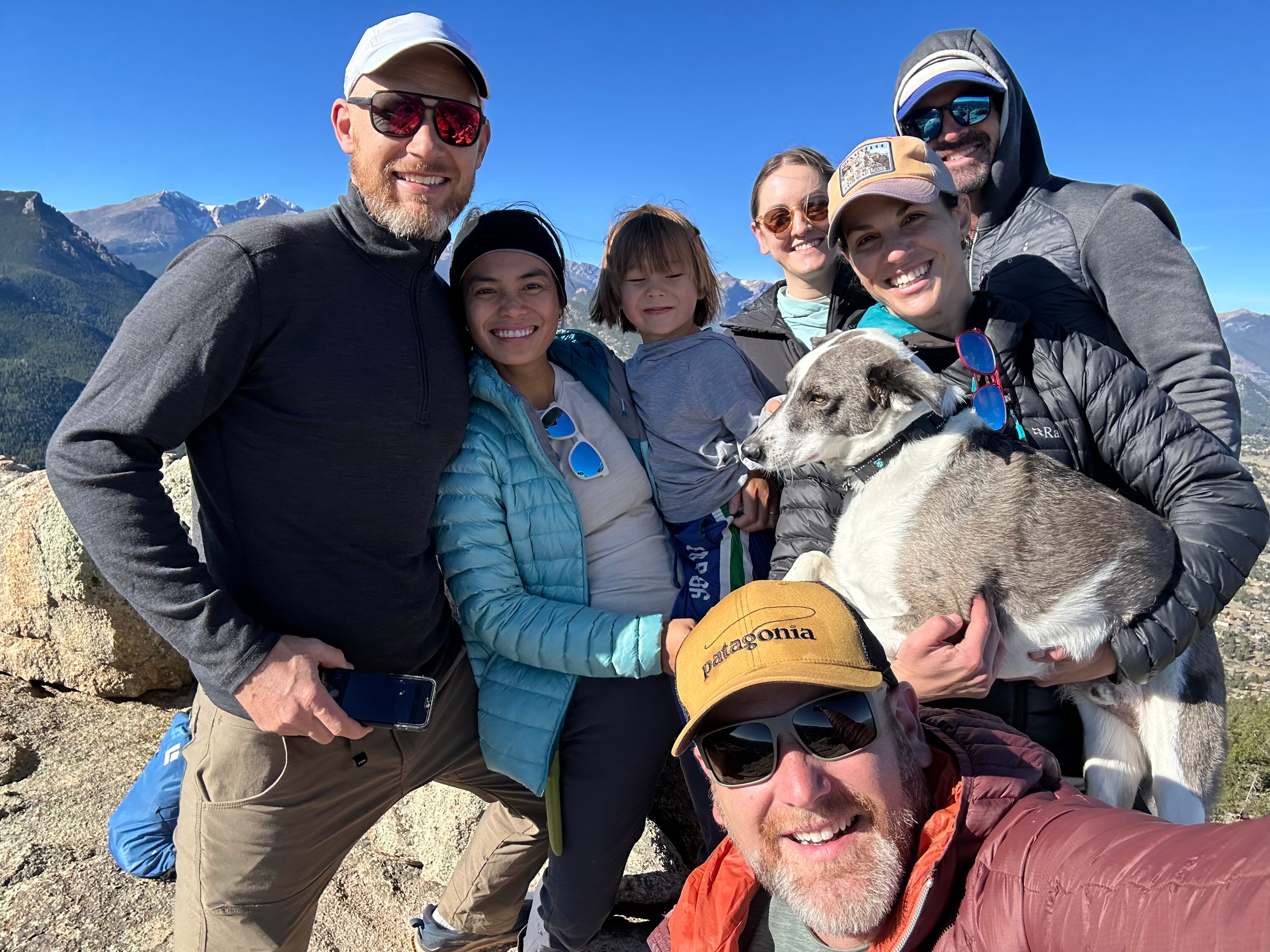
Lastly I have to finish with two pictures from a group cabin trip to Hermit Park
Hoping for more great adventures in 2026 ❤️