
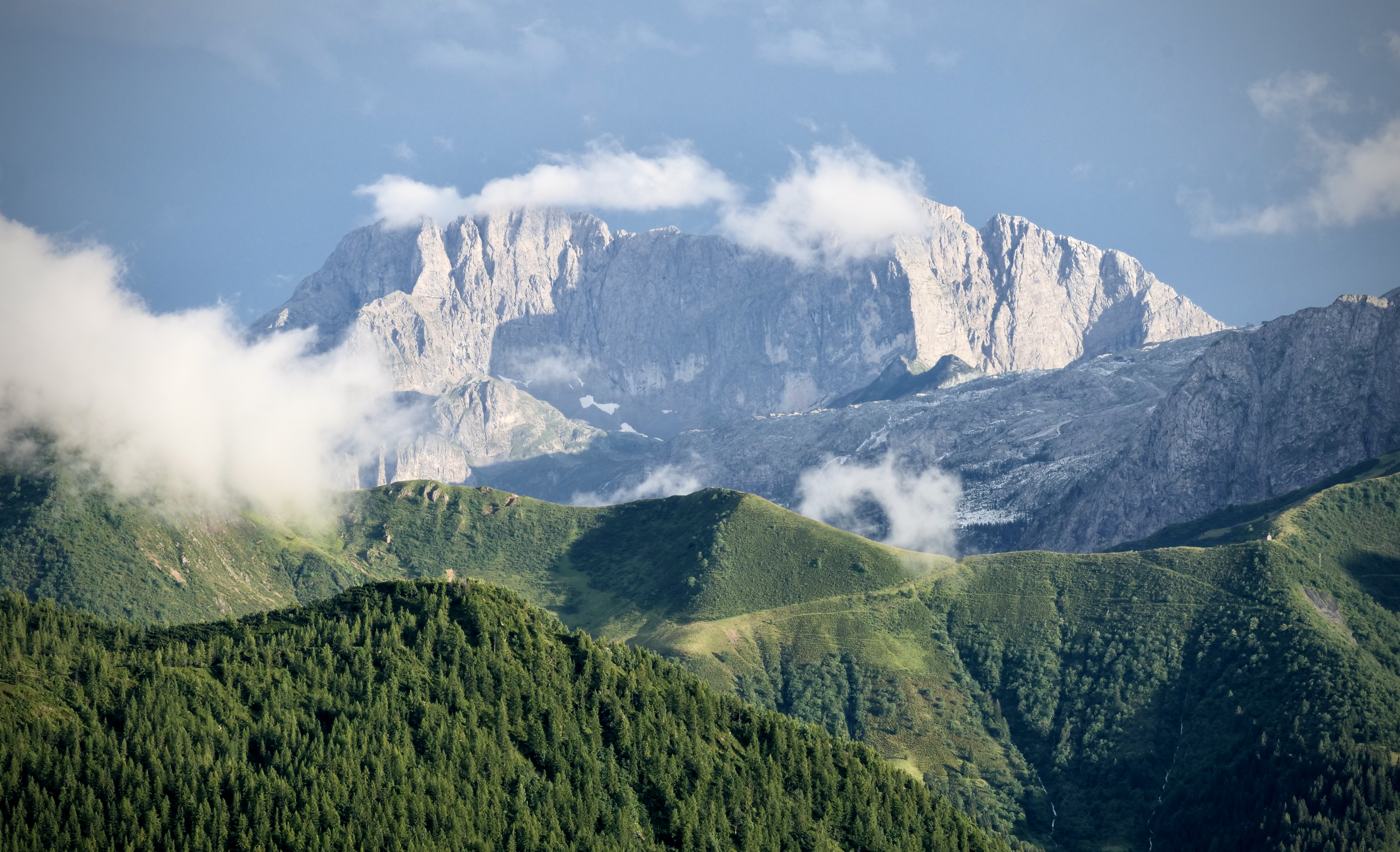
I did the Sentiero delle Orobie in the Orobie alps just north of Bergamo. Since one of my best friends was getting married in the area i figured i should take advantage of going there anyway. It turned out to be quite challenging for different reasons (knee problems, infection, heat) but i managed to get through it. The challenges i went through just made the sense of pride and self belief even greater when i finished.
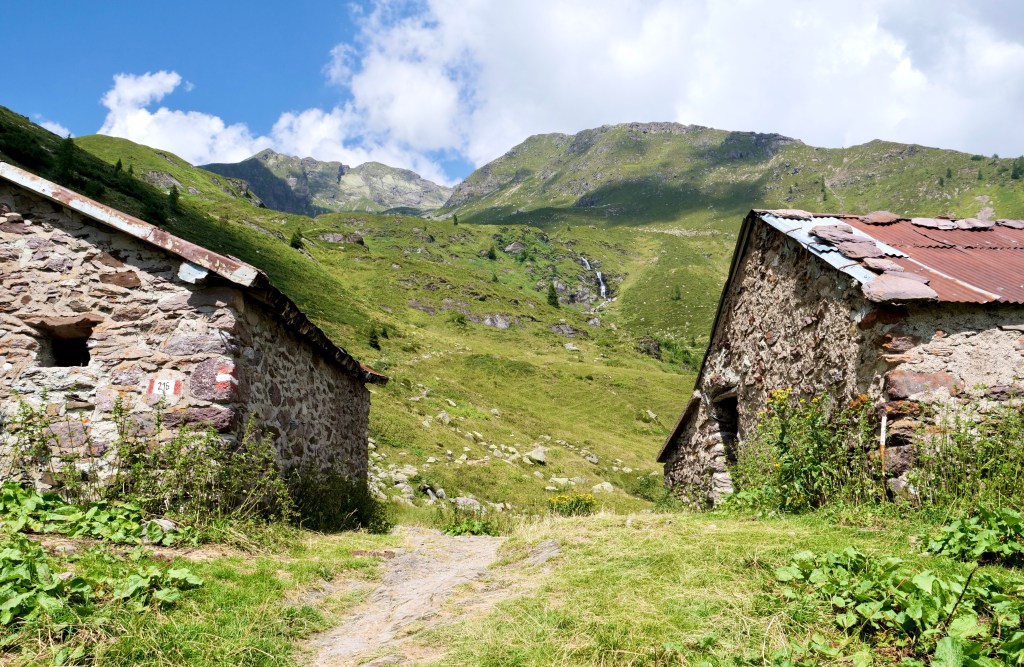
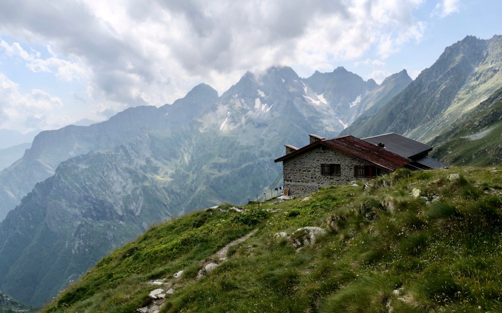
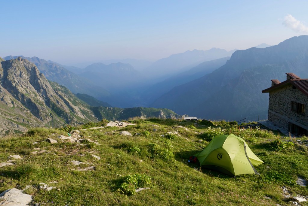
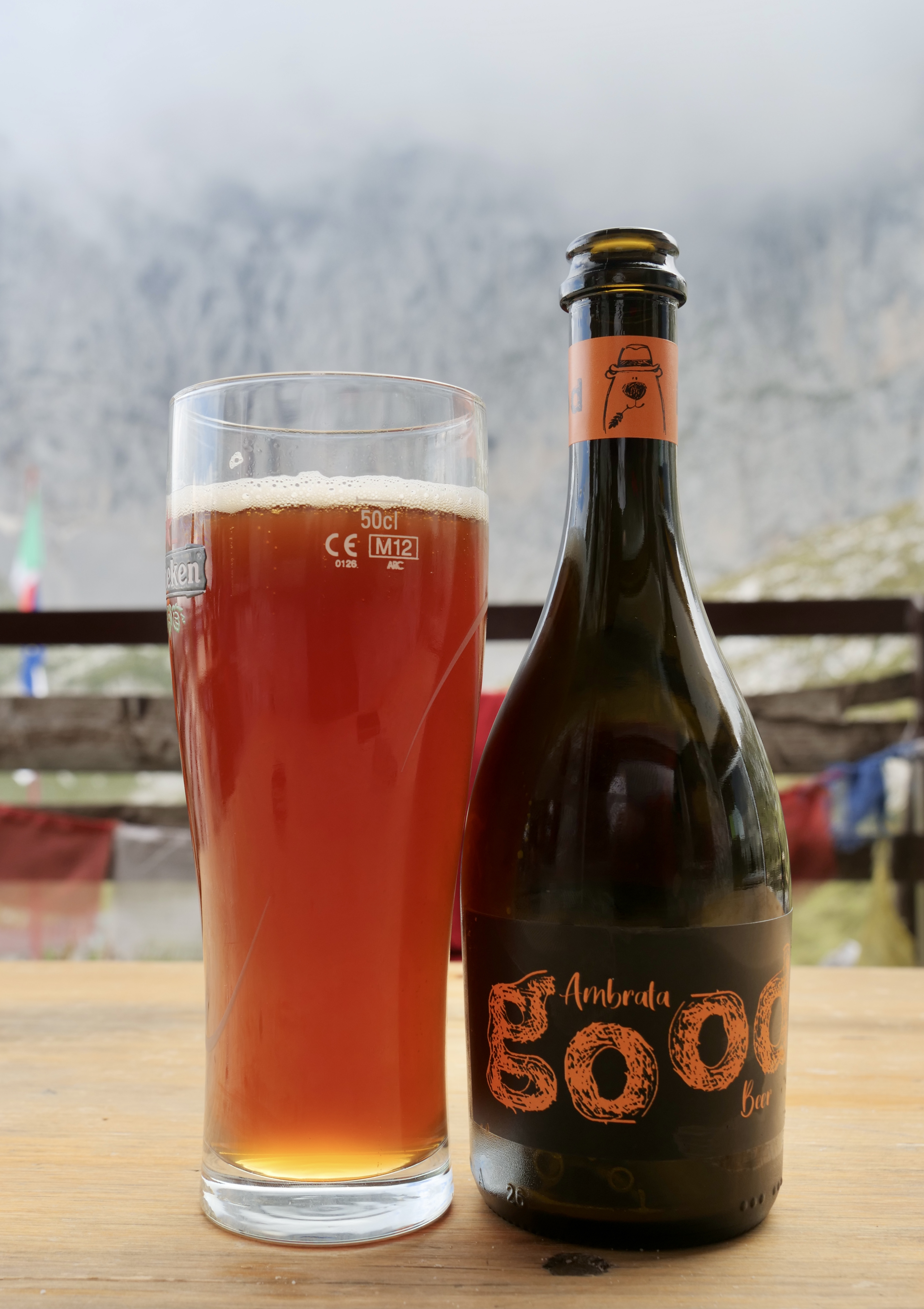
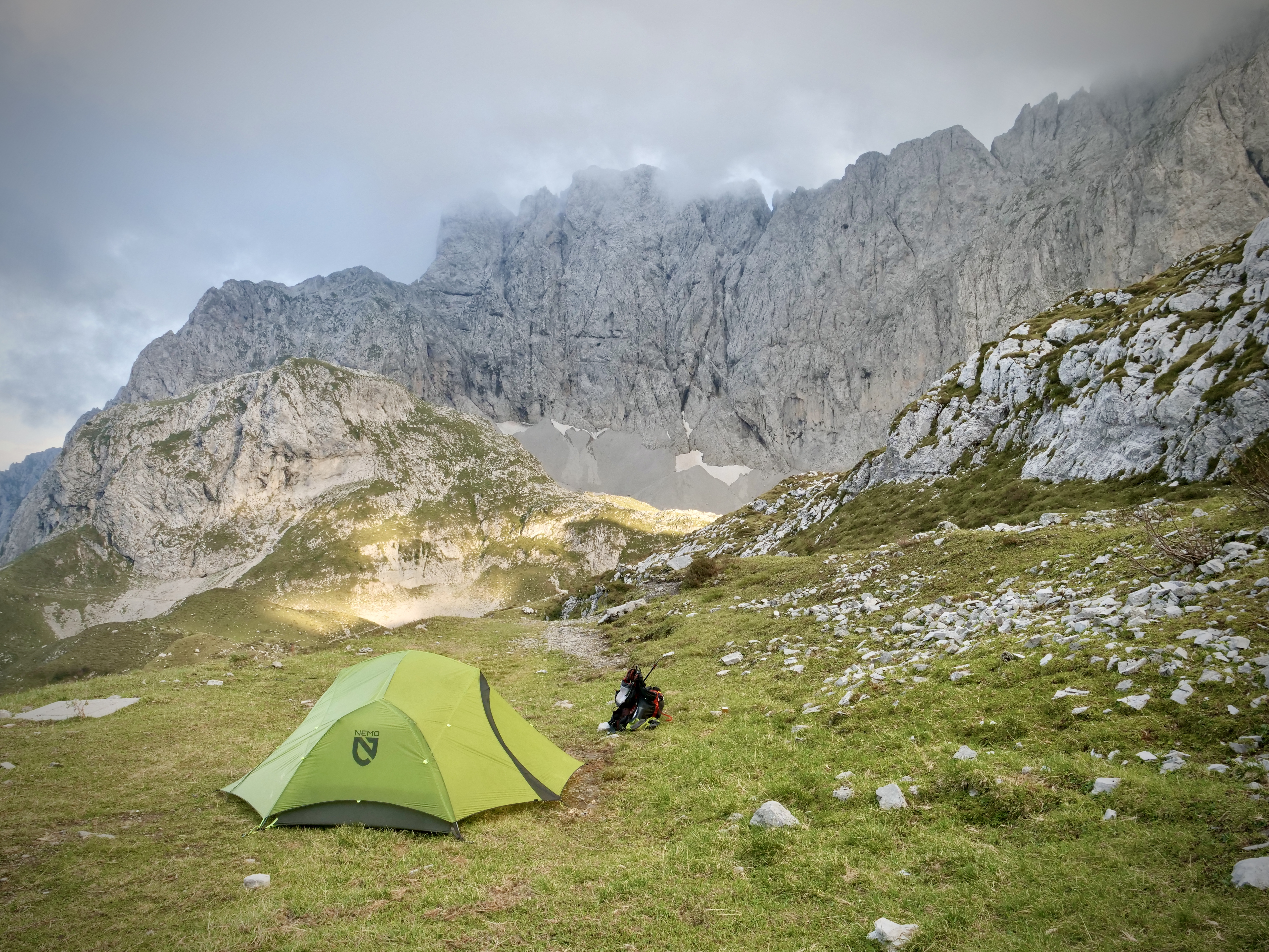
It is a great trail going from hut to hut with great people along the way. Since i was going in august i was looking for less touristy places to go and this one definitely lived up to that. I only met one swiss couple on the whole trip, everyone else were italian. The huts (rifugios) in general were quite busy and lively and very welcoming. I carried both tent and food and had no problems camping (for free) next to the huts. They serve both breakfast, lunch and dinner and you can buy simple cheap sandwiches throughout the day (4 euros). The food in general is good and plentiful but a lot of the same since you are in the mountains (polenta, pasta, meat, bread, cheese). A full dinner meal is around 20-25 euros and they serve you 3 courses. Many times i found that one was enough and then you can just pay for one dish. The price for accommodation, dinner and breakfast is 55 euros, so by bringing my tent i saved around 30 euros per night. The downside of course is the extra weight you carry in the mountains. To me it’s worth it – i love sleeping in my tent.
Transport from Bergamo is pretty easy. Take the bus to Clusone and change to the one going to Ardesio, in Ardesio you switch to a minibus going to Valcanale where the trail starts. Only thing is that the buses don’t always fit well together so sometimes you have to wait a bit for the next, but hey…it’s part of the adventure. A good thing is that buses are extremely cheap.
Bear in mind that my times listed below in general are slow because of a heavy pack, bad knee and taking lots of pictures. Breaks are not included.
Anyway… Here are the numbers, notes (from a notebook I carried), pictures and maps:
Day 1, Valcanale – Rifugio Gemelli
Time: 3:39 h (decent pace)
Distance: 8,8 km
Asc: 1043 m
Dsc: 191 m
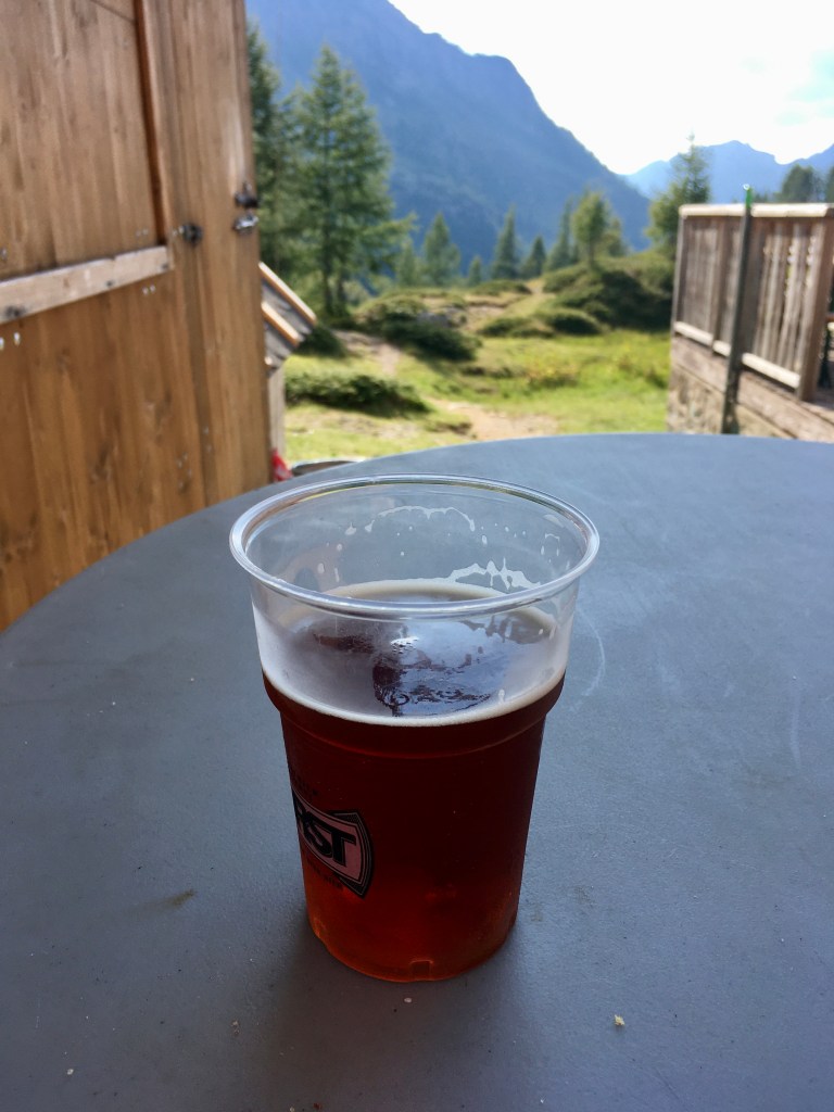
Notes: They have a great red ale draft beer in rifugio Gemelli, lots of good campsites next to the hut, got bitten by an insect. Many good camping sites


Day 2, Rifugio Gemelli – Rifugio Calvi
Time: 3:54 h (very slow)
Distance: 12,5 km
Asc: 497 m
Dsc: 478 m
Notes: Pretty easy relative flat trail. I was very slow because i got infection from the insect bite, foot and ancle very swollen and head spinning. Many good camping sites


Day 3
Rest in Rifugio Calvi, foot and ancle still very swollen.
Day 4, Rifugio Calvi – Rifugio Brunone
Time: 5:12 h (decent pace)
Distance: 11,4 km
Asc: 982 m
Dsc: 674 m
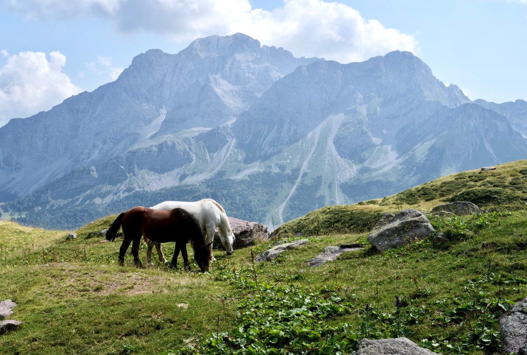
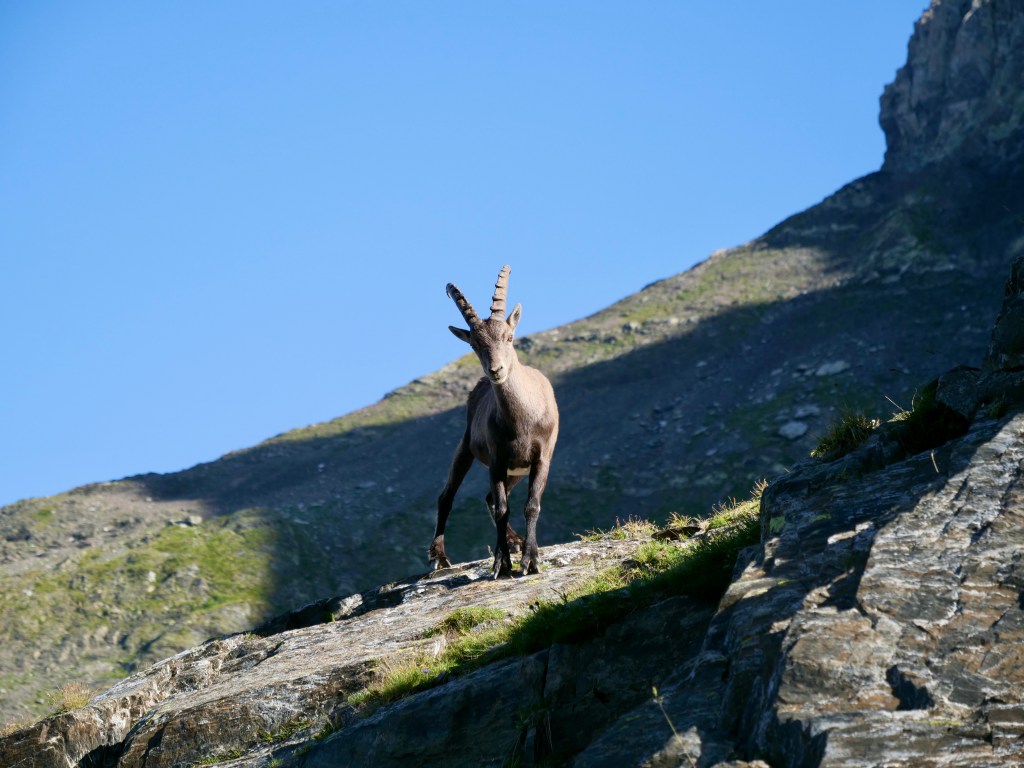
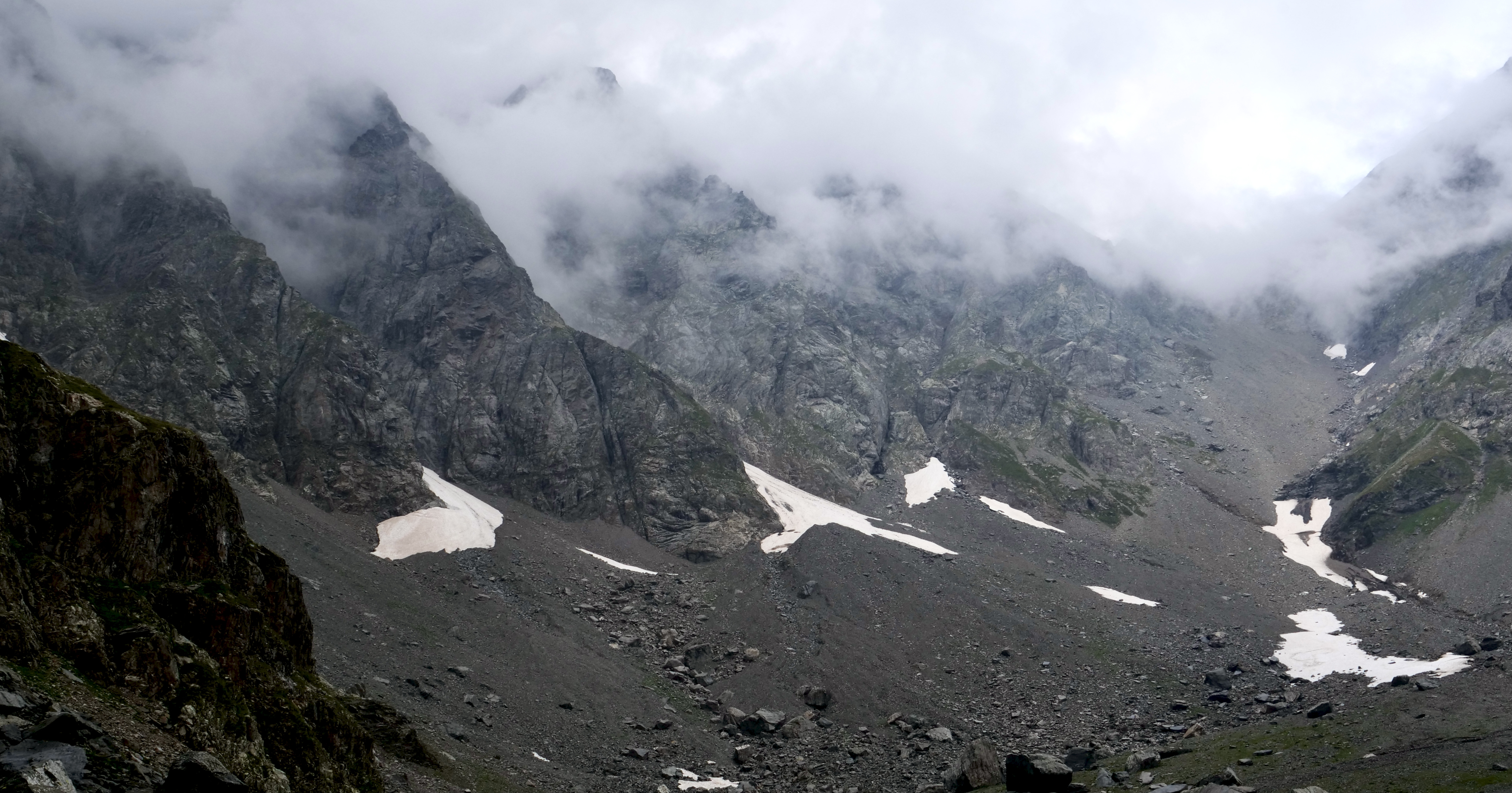
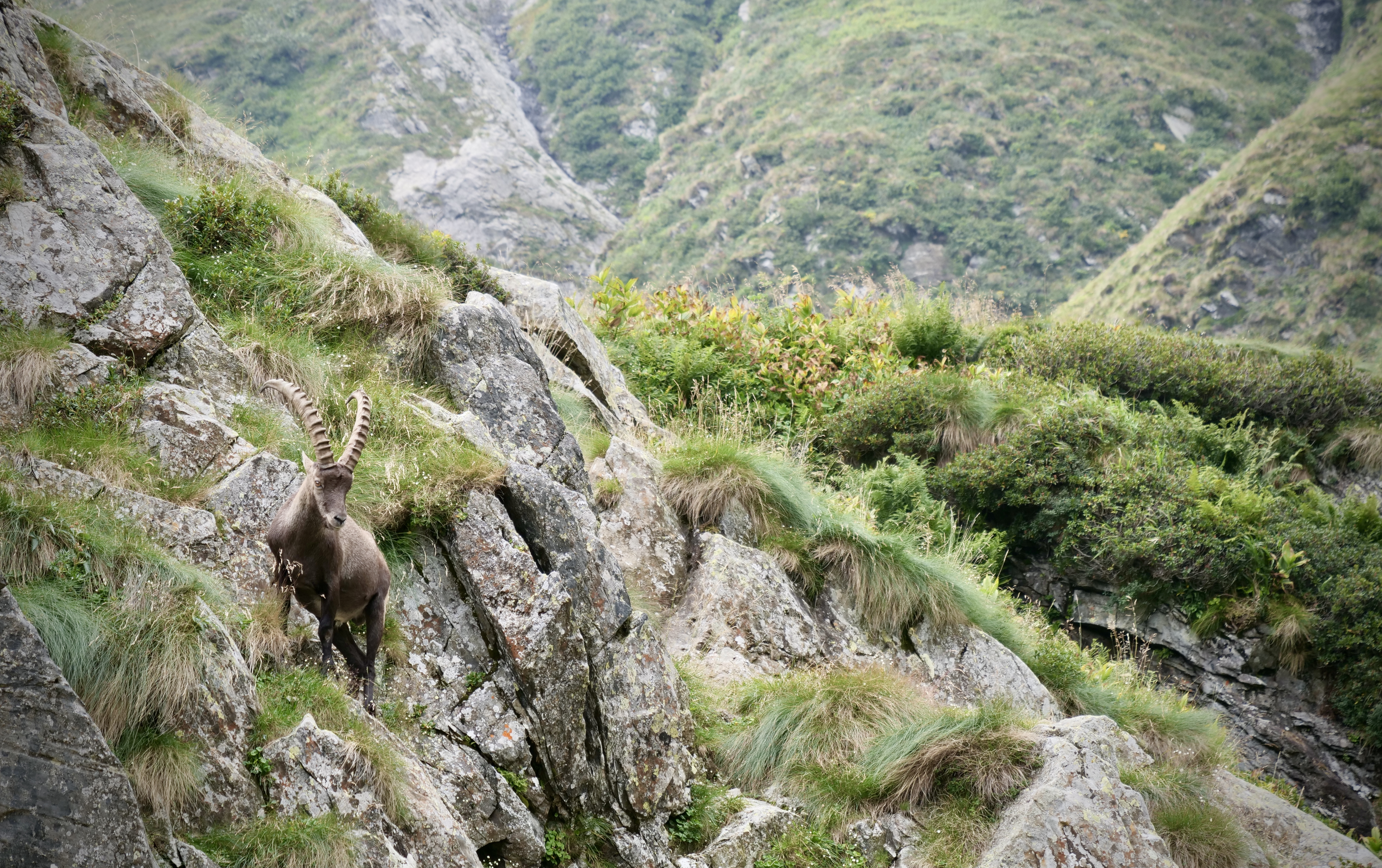
Notes: Foot doing way better, not much swelling. Legs and knee starting to feel much stronger already. Once i got over the valbecca pass there was no shade for 3 hours – very hot day but very beautiful and fun stage, a bit more technical. Many rivers along the way so don’t need to carry to much water. A lot of ibex´s on the pass. Not many campsites at rifugio Brunone, but also not many campers – i was the only one.

Day 5, Rifugio Brunone – Rifugio Coca
Time: 4:55 h (slow)
Distance: 7 km
Asc: 515 m
Dsc: 919 m
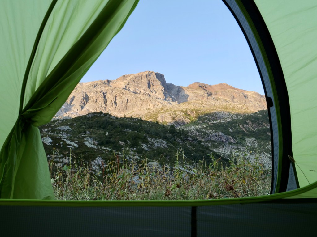
Notes: Most technical stage. A lot of chains and using hands – a lot of fun and very beautiful. Brunone and Coca were probably my favorite huts and also the most remote. Had to stay the night in Coca because of a thunder storm. Looked like there was a bunch of good camping sites.


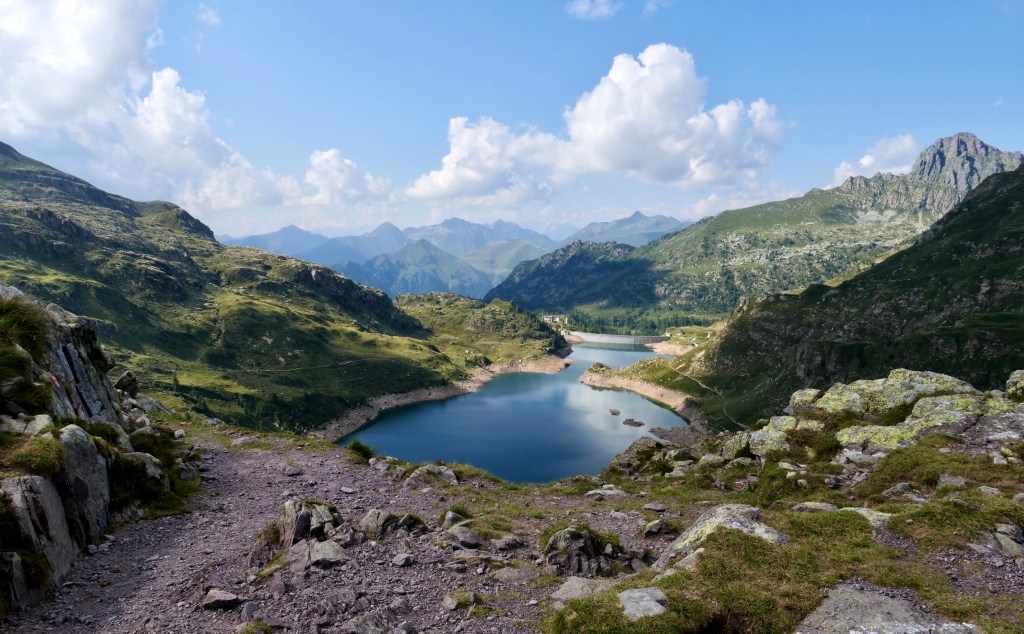
Day 6, Rifugio Coca – Rifugio Curó
Time: 3:35 h (decent pace)
Distance: 7,7 km
Asc: 630 m
Dsc: 634 m
Notes: Short and beautiful stage with only one mountain pass. Rifugio Curó is beautifully located next to a lake with many good camping sites. Very busy hut.

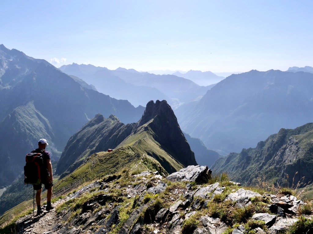
Day 7, Rifugio Curó – Rifugio Albani
Time: 7:05 h (decent pace)
Distance: 18,7 km
Asc: 1264 m
Dsc: 1233 m
Notes: Very long and very beautiful day. First half to the chapel is pretty flat. Party in rifugio Albani with lots of grappa. A couple good camping sites.

Day 8, Rifugio Albani – Ardesio (standard route, not the via ferrata)
Time: 5:24 h (decent pace)
Distance: 17 km
Asc: 432 m
Dsc: 1716 m
Notes: Relative long day with a lot of downhill. Some fun downhill sections through the woods.
If you want to do the whole route faster and you are in good shape i would go directly to rifugio Calvi from Valcanale (and get to Valcanale early) and then maybe do day 5 and 6 together. If you use the huts accommodation and food you don’t have to carry a lot. I believe there’s a supported FKT registered on 8:52 hours on this trail.
Route map:
https://www.strava.com/activities/6152602266

