
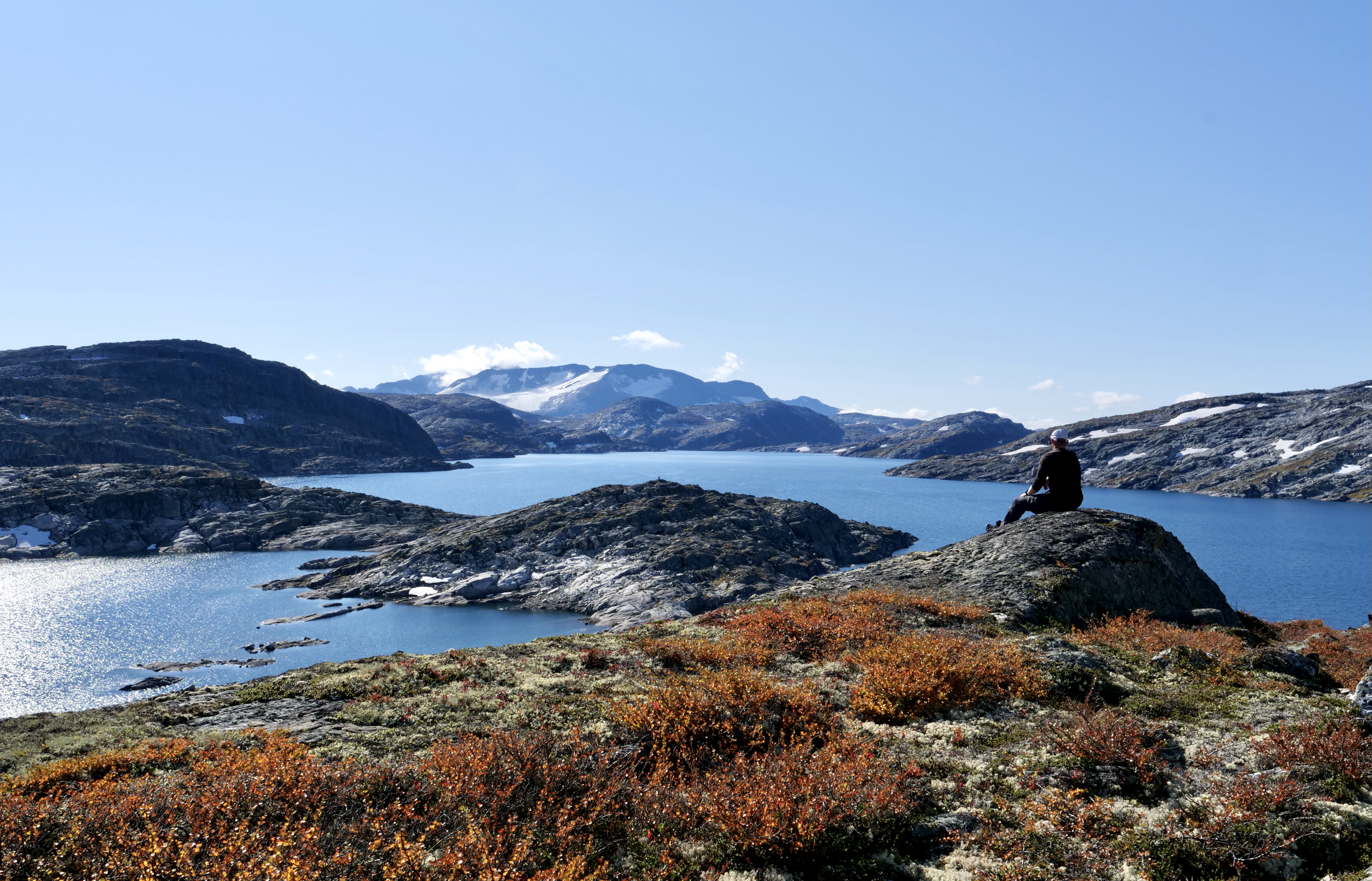
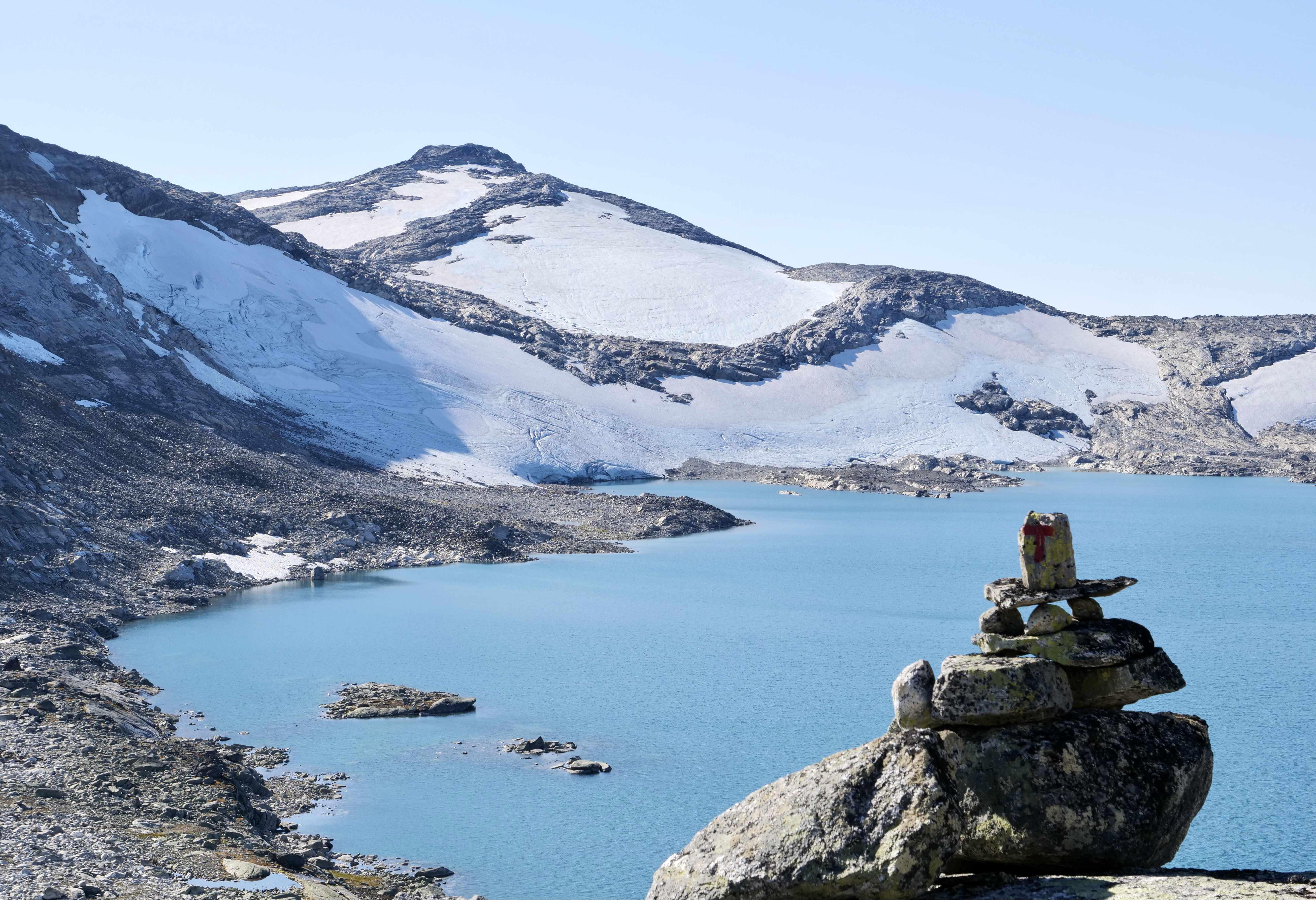
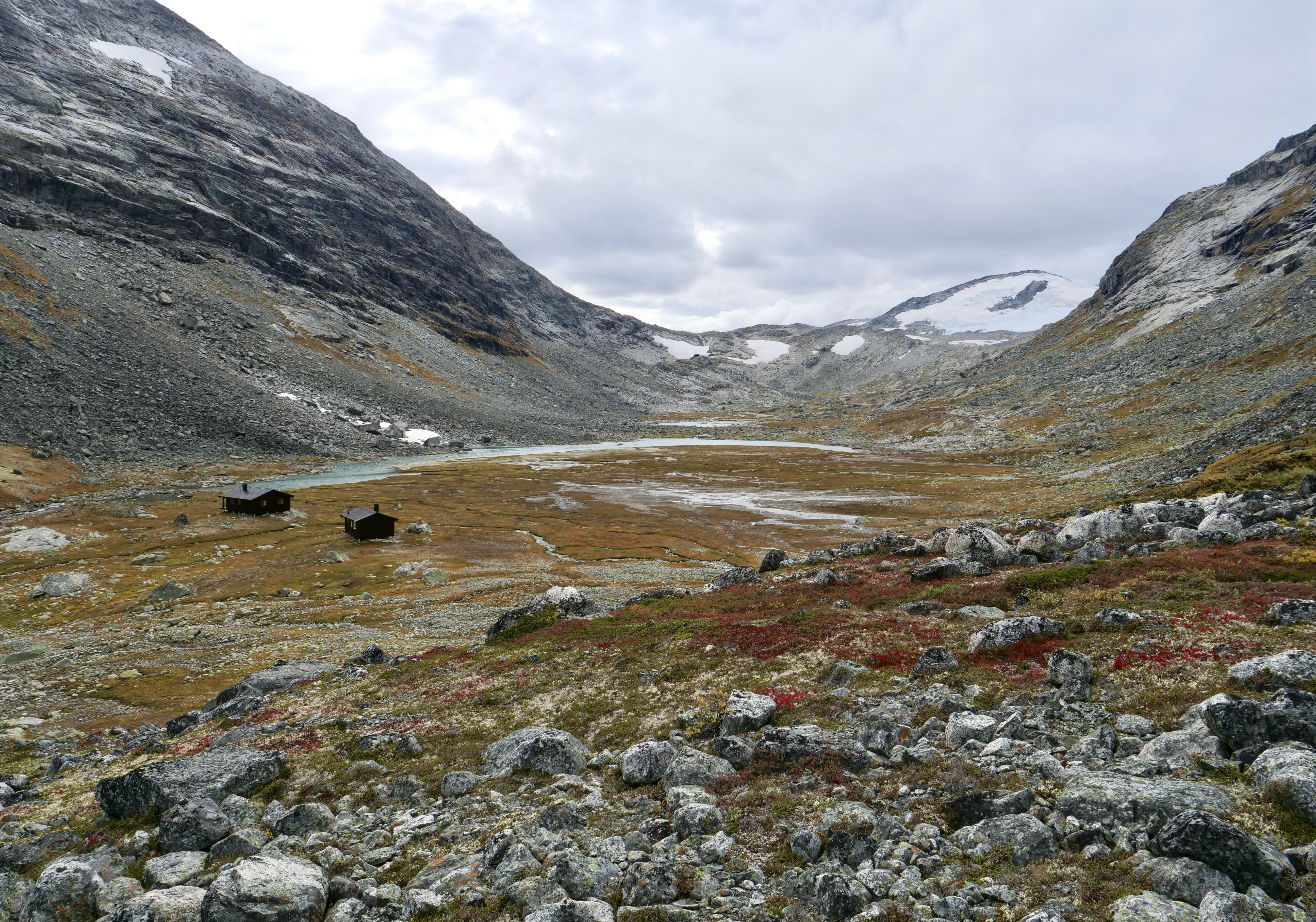
When i go to google maps to see reviews of Breheimen National Park there are none, so i figured it would be a good place for me to explore. I am familiar with Breheimen from other trips and it has been on my list to explore for a couple years now. It is located just west of the more famous Jotunheimen National Park which gets a lot of visitors. Breheimen is a recent national park established in 2009 and is one of the most diverse places in Norway with big glaciers, mountains and lush valleys. It was formed by glaciers and landslides and it really shows when you experience this otherworldly amazing place.
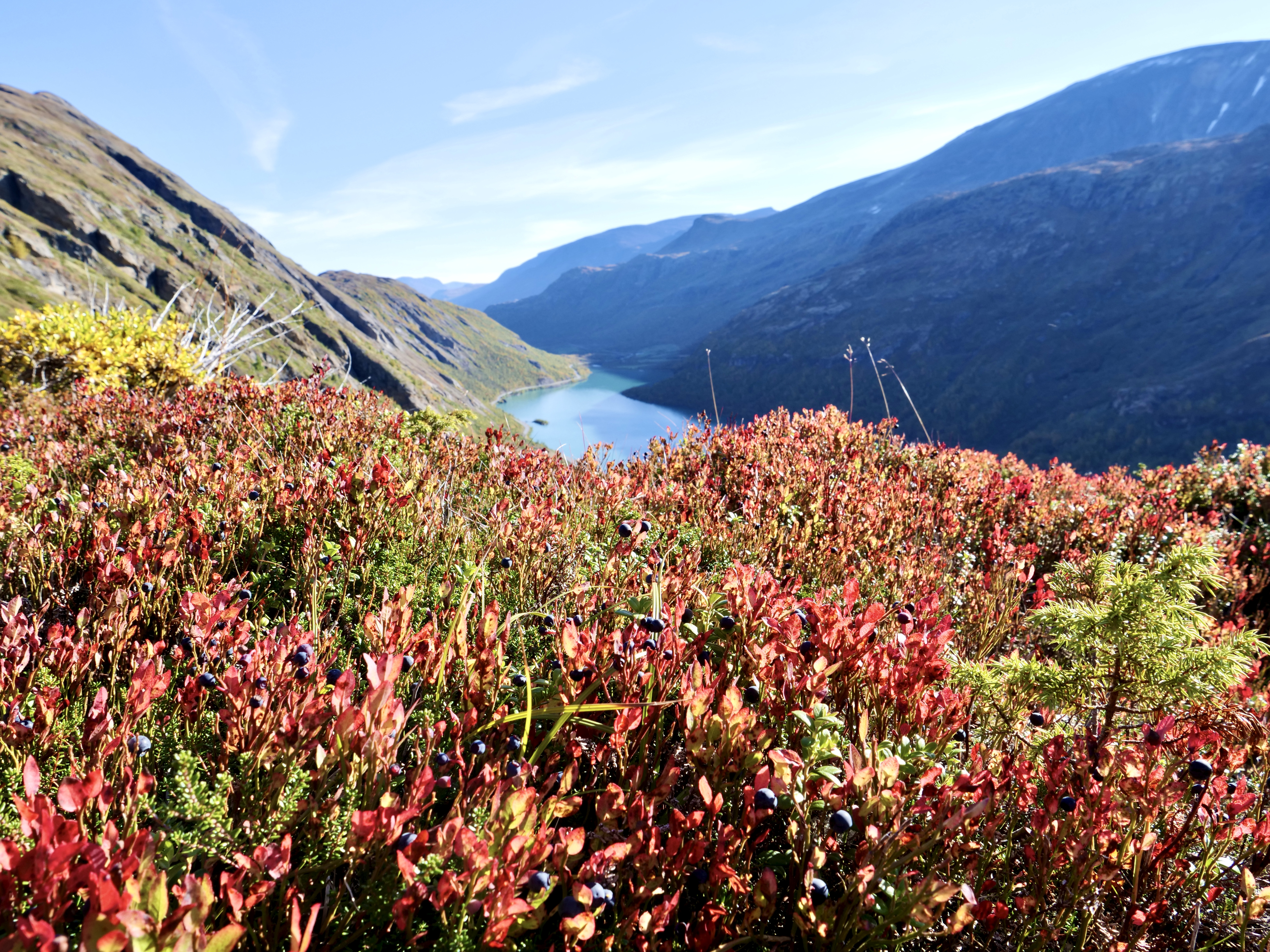
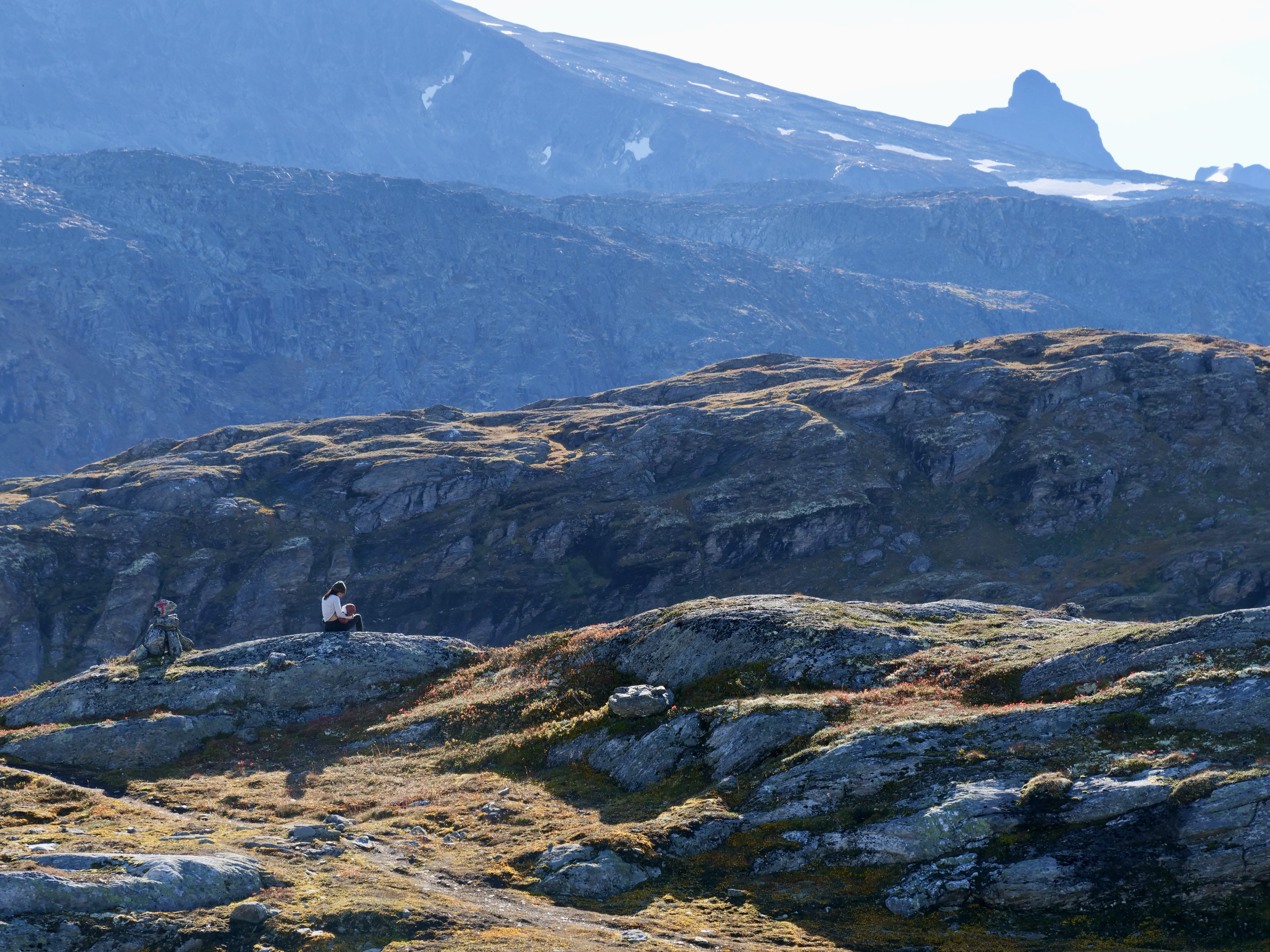
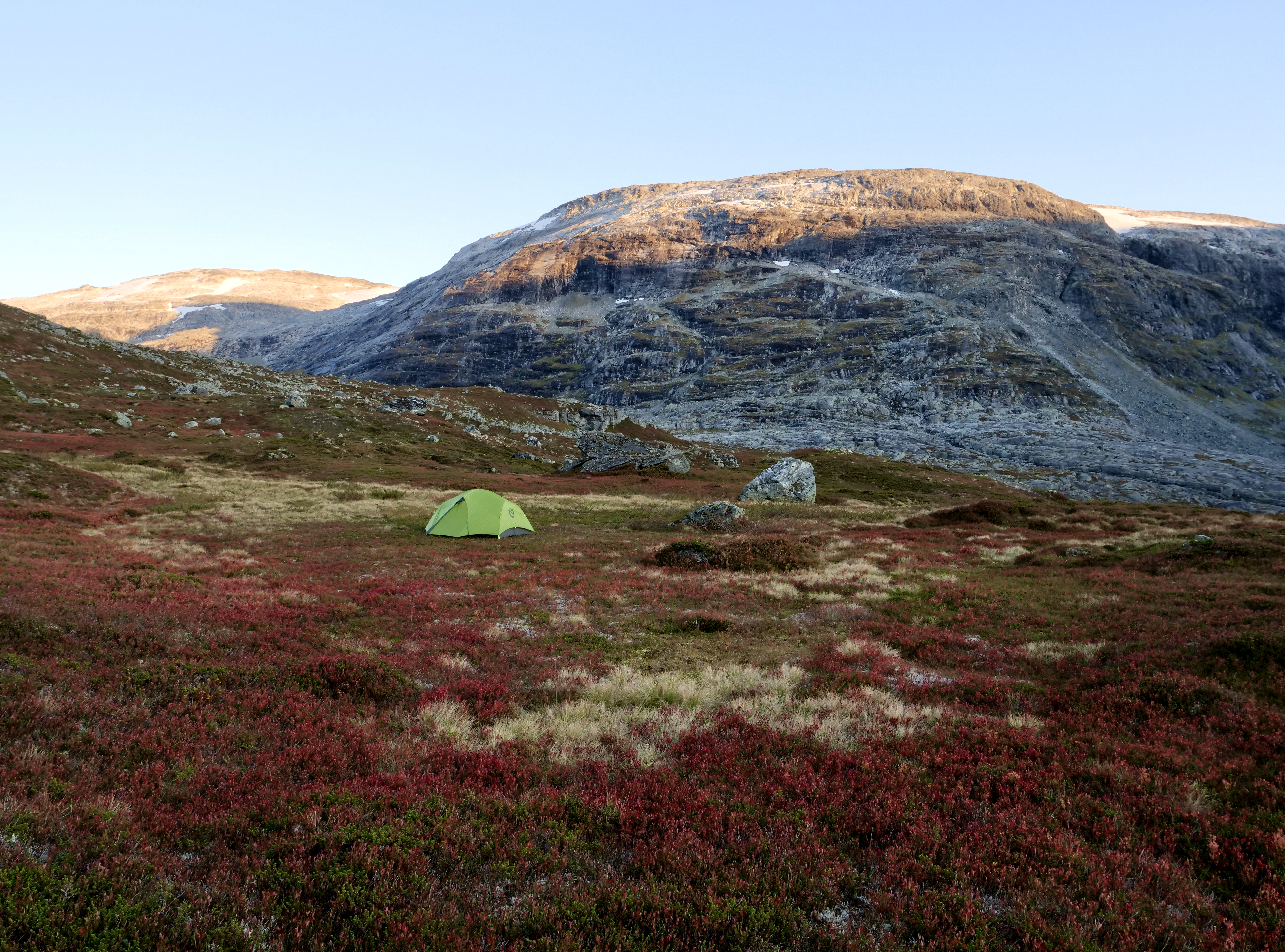
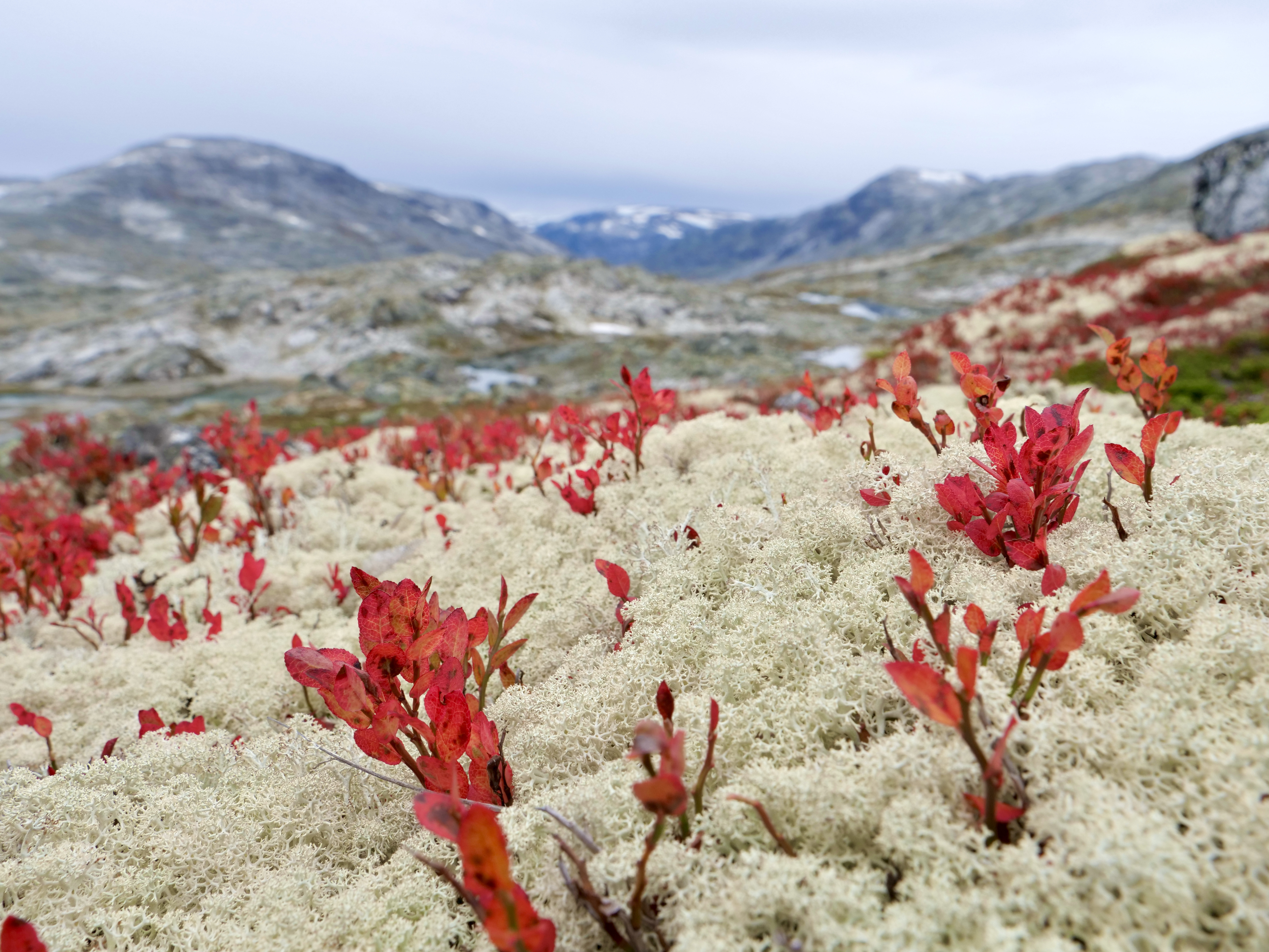
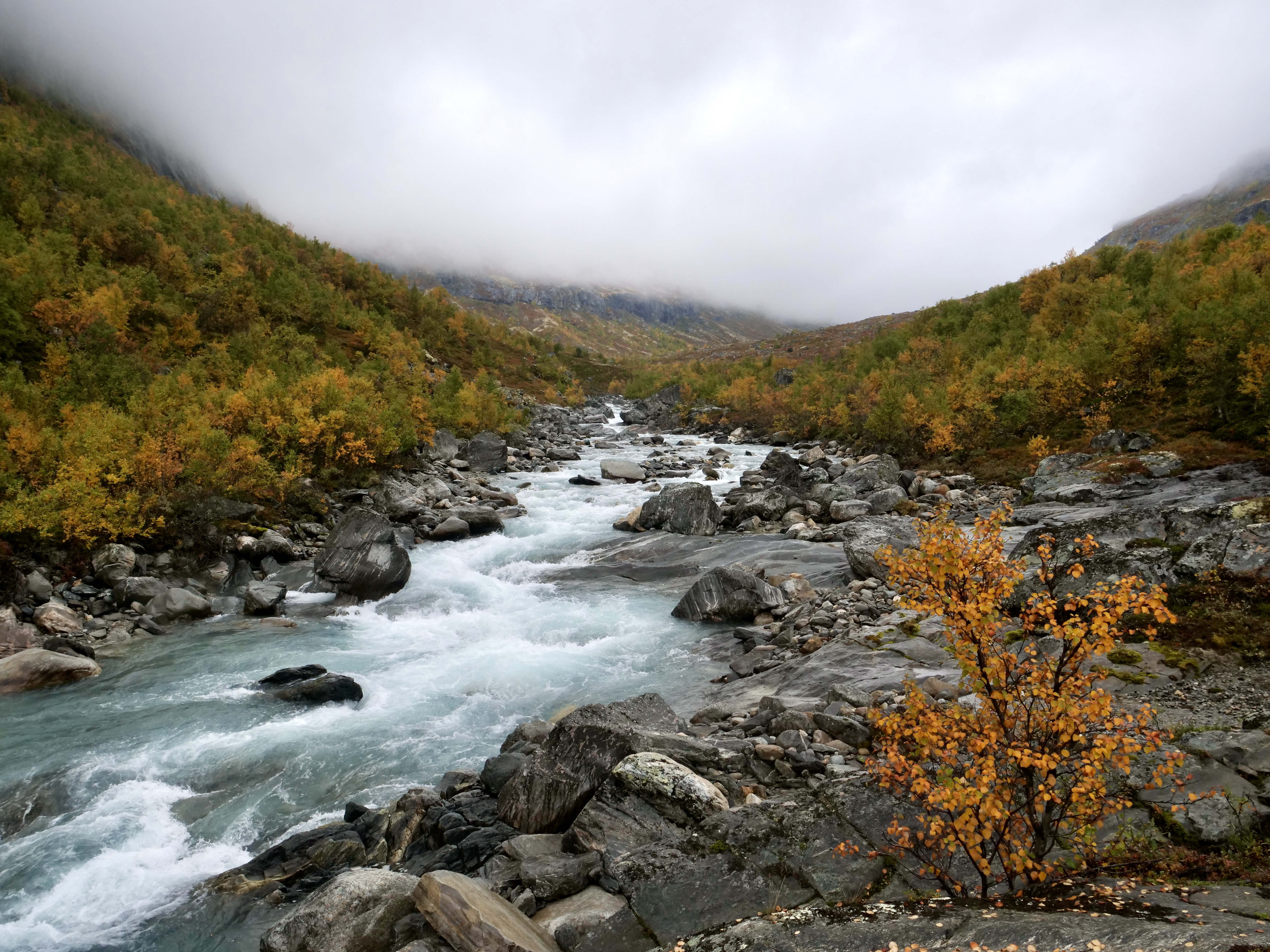
I just did the trip in mid september which is the perfect time to experience all the fall colors. The beauty of the place in this time is just out of this world. The huts had just closed so I did’t meet any people in the 3 days. I got the feeling of being insignificant completely on natures terms, it is very humbling but also a big confidence boost to go through something that I was nervous about beforehand. I knew i was alone out there if something happened.
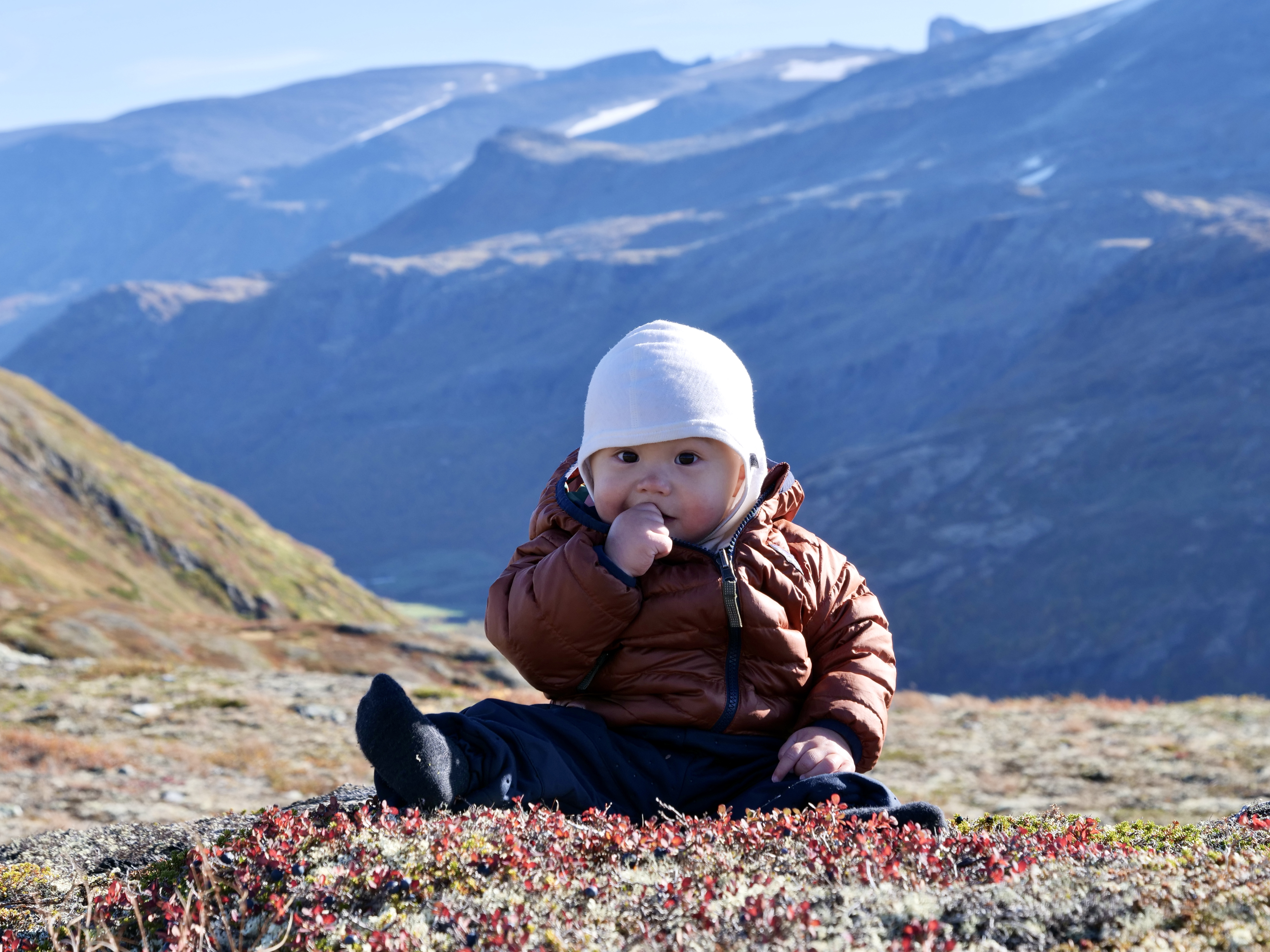
I’m in Norway for a while with my son and wife, so they followed me a couple kilometres up the trail from Bøvertun to send me off. At this time there are blueberries all over the place and my son Kai found out quickly. It was a great moment seeing him sitting on top of a mountain 9 months old and picking blueberries straight from the source.
The weather in this area is all over the place. In generel Breheimen is a very wet place, but i was lucky with very sunny weather the first day. Day 2 and 3 were more cloudy and a bit of rain but still good.
When you prepare for a hike in Norway you always have to expect the worst. I was extremely happy with my minimal packing for this trip, i brought only the layers i needed plus a dry set of socks, t-shirt and underwear and i packed a minimum of food and gas. I figured if i ran out of gas i just had to eat the pasta with cold water and a bit of extra crunch. For breakfast i brought oatmeal that i ate with cold water to save gas and time – it was actually good.
If you have any questions about the trail or area feel free to ask in the comments.
Below are the numbers, pictures and maps:
Day 1, Bøvertun – Nørdstedalseter hut
Time: 6:56 h (slow pace)
Distance: 18 km
Asc: 1031 m
Dsc: 995 m


Day 2, Nørdstedalseter hut – Trulsbu hut
Time: 4:37 h (decent pace)
Distance: 15,5 km
Asc: 532 m
Dsc: 227 m

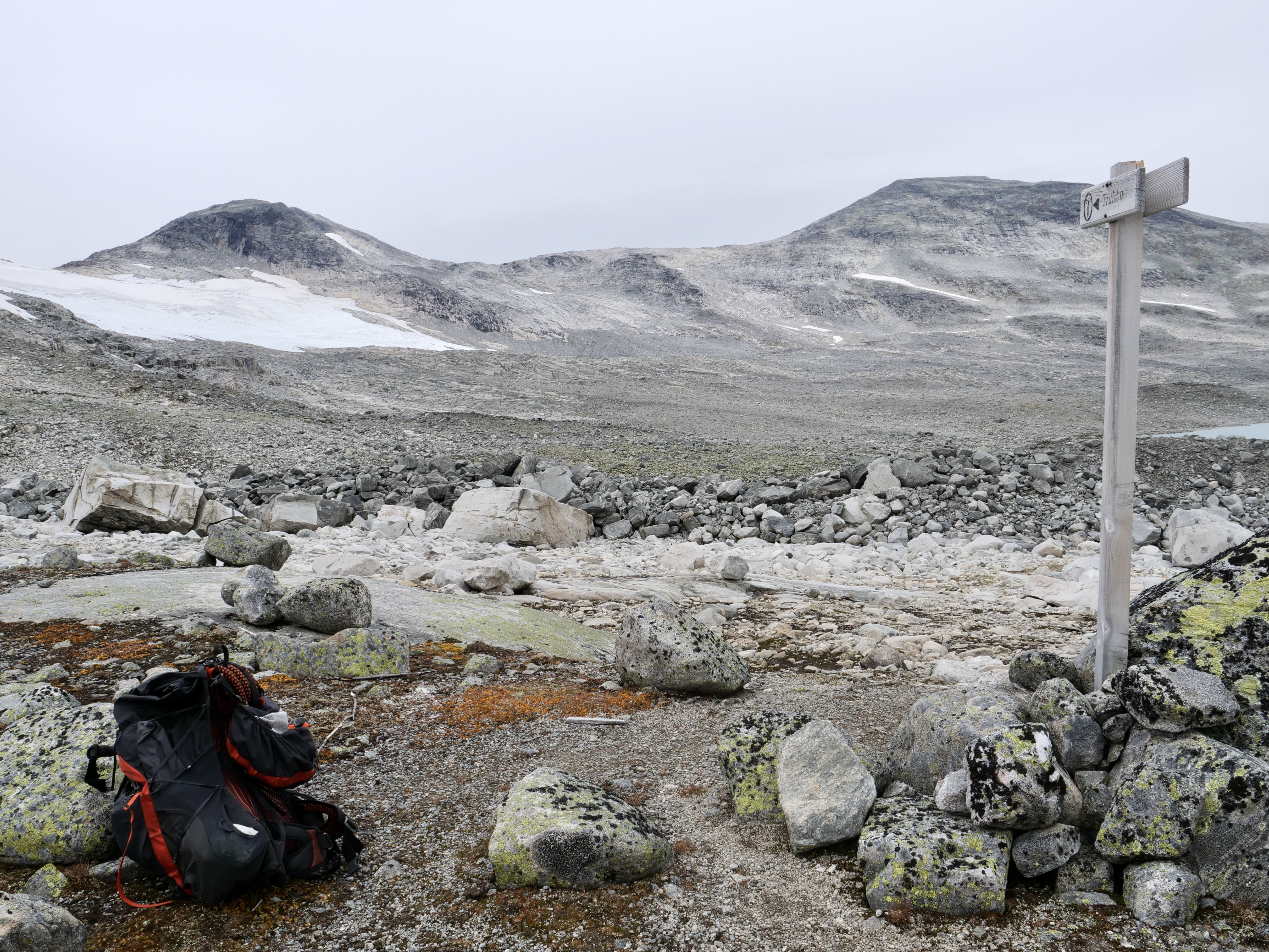


Day 3, Trulsbu hut – Lundadalen parking (through Lundadalen)
Time: 6:03 h (good pace)
Distance: 21,6 km
Asc: 159 m
Dsc: 677 m


Route map

